Overview of my weeklong trip to Oregon/California to visit some nice forests and mountains. Tuesday, September 22nd through Sunday, September 27th. Broken down into Days.
Overview:
Flew into Medford, Oregon. Rented a car and drove ~2 hours to Crater Lake National Park.
Stayed the night in a place outside Fort Klamath, Oregon.
Journey: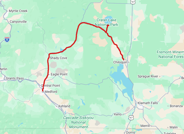
Gallery:
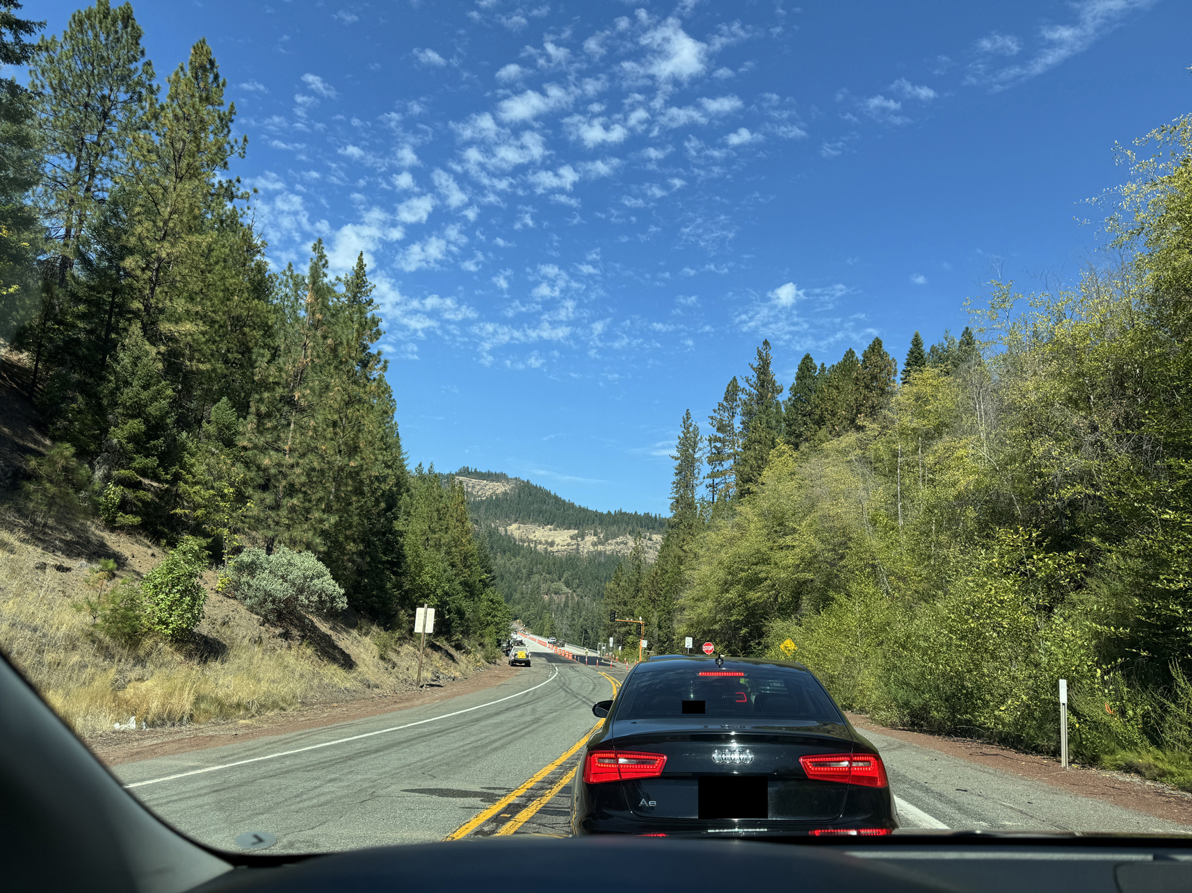
Common road construction, traffic reduced to 1 lane. 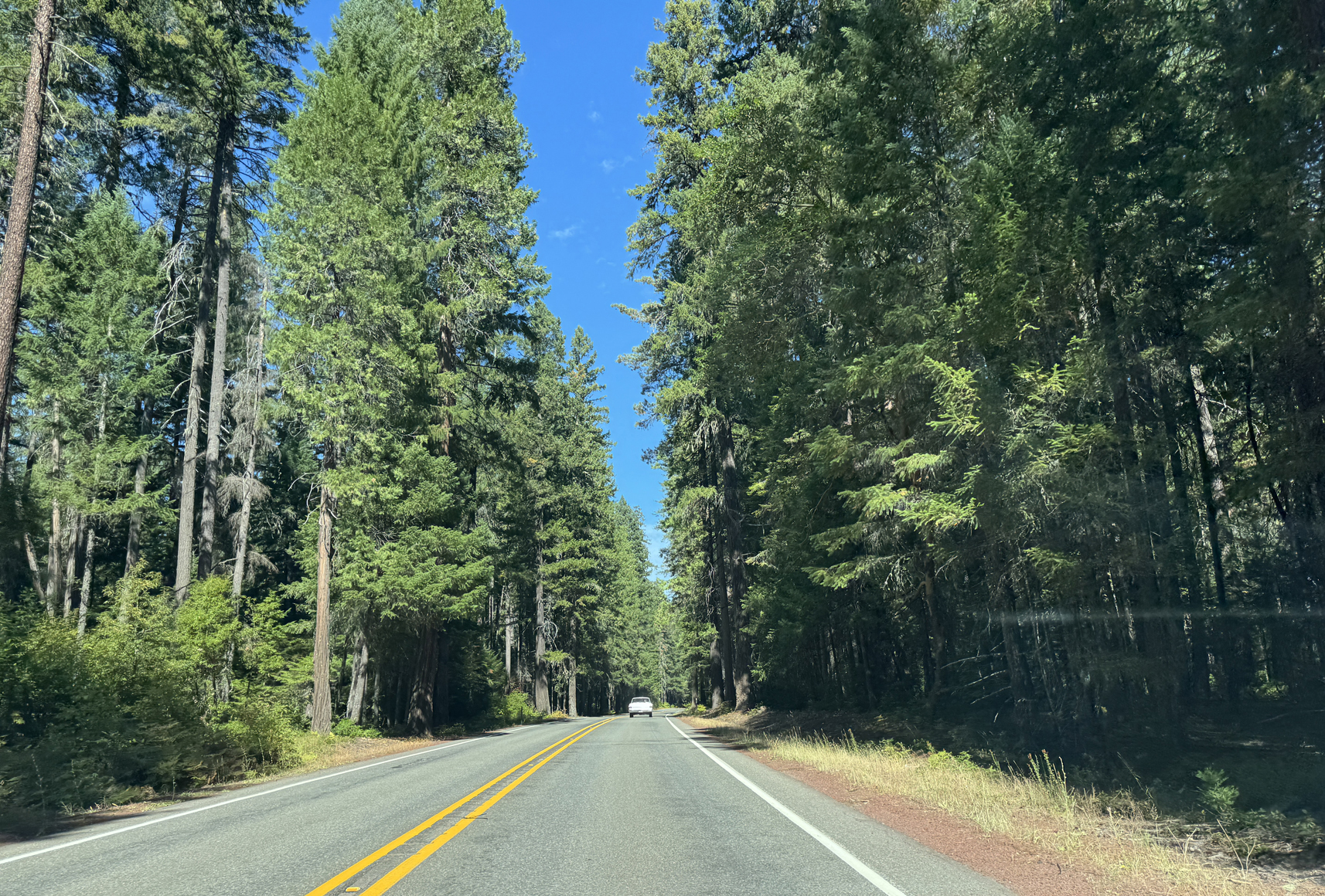
Drive to Crater Lake 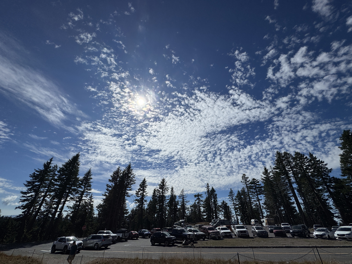
Crater Lake parking lot 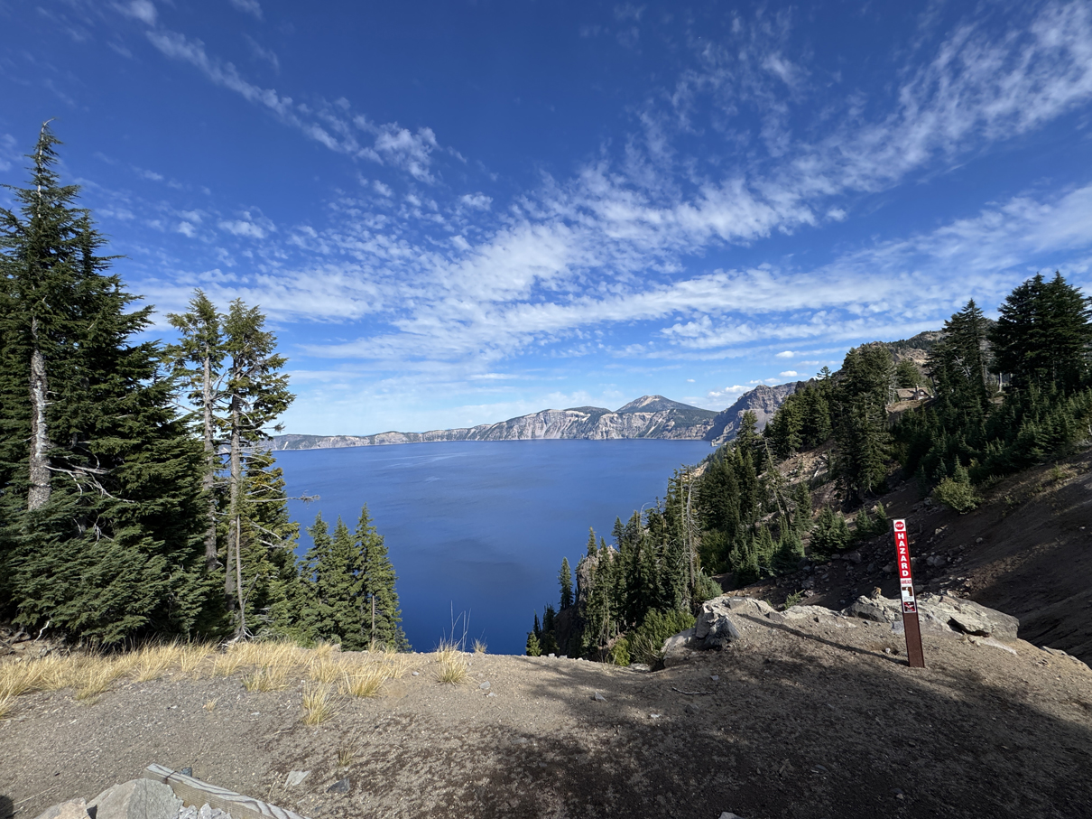
First view of Crater Lake. Dangerous! 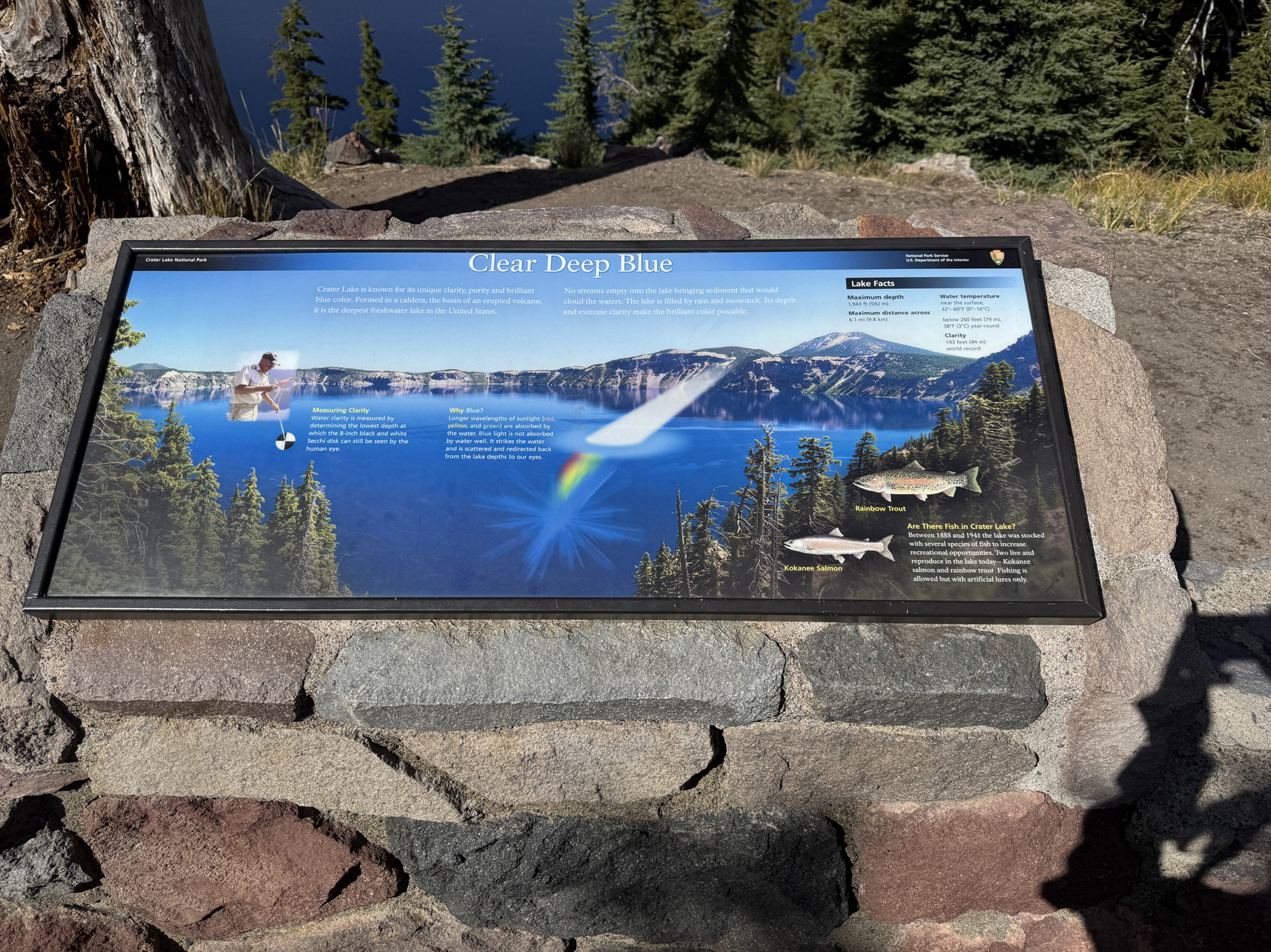
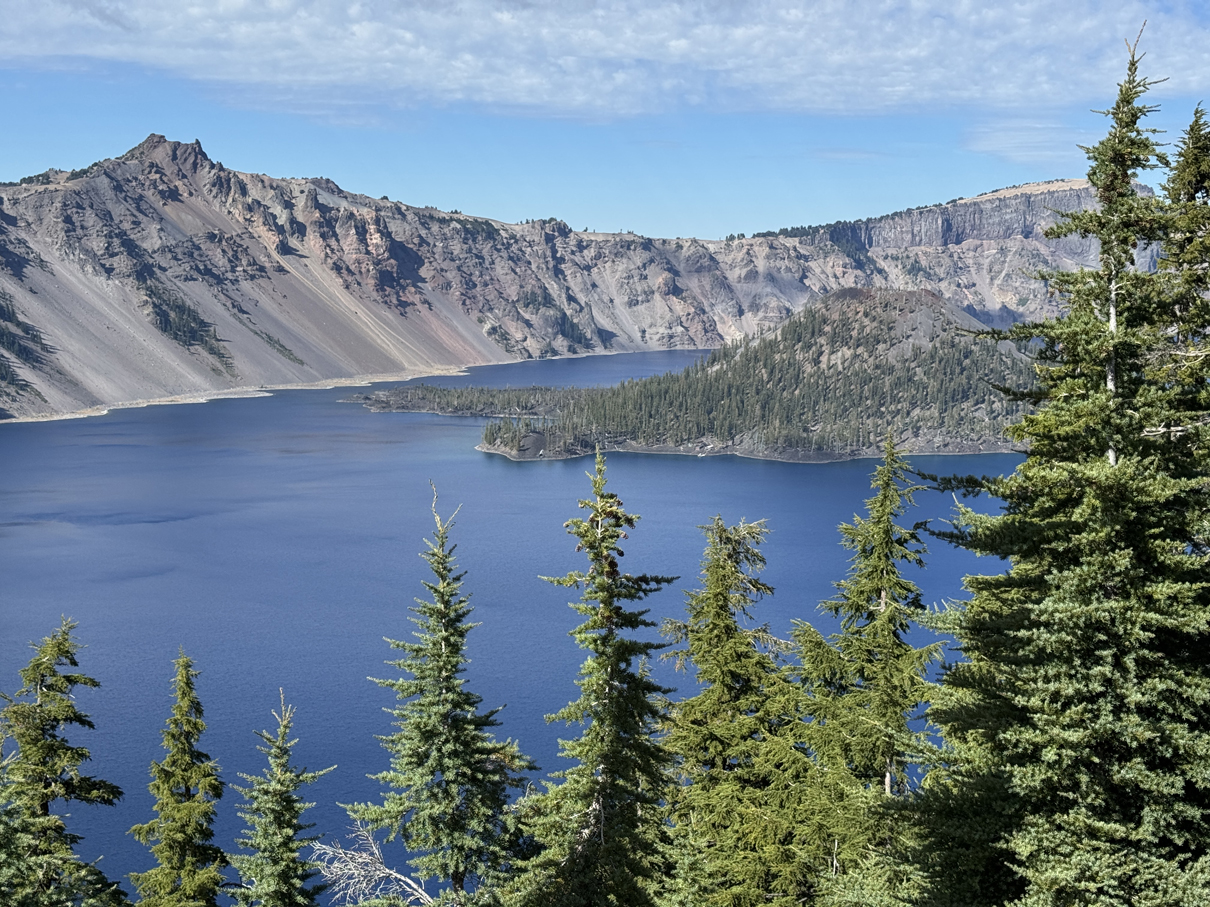
A view of Wizard Island. 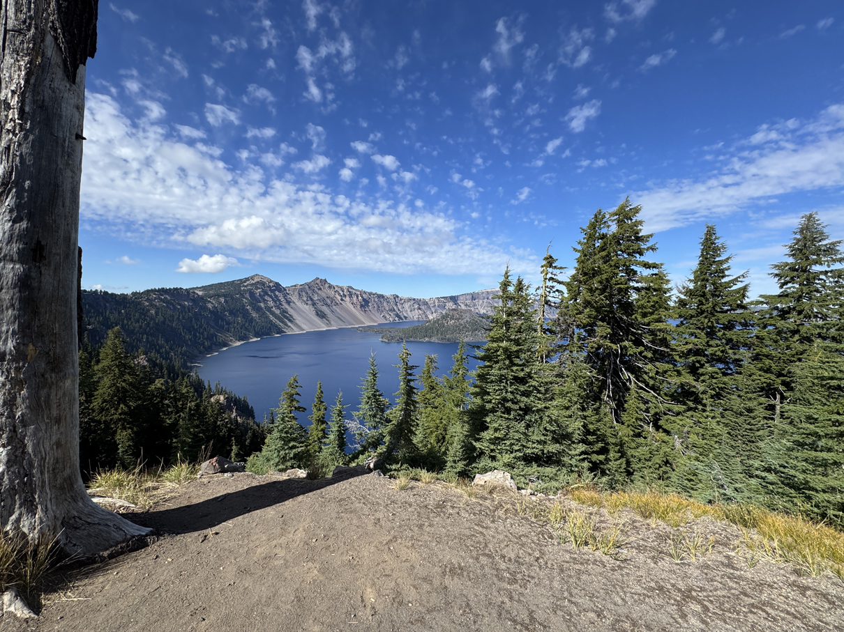
Wizard Island 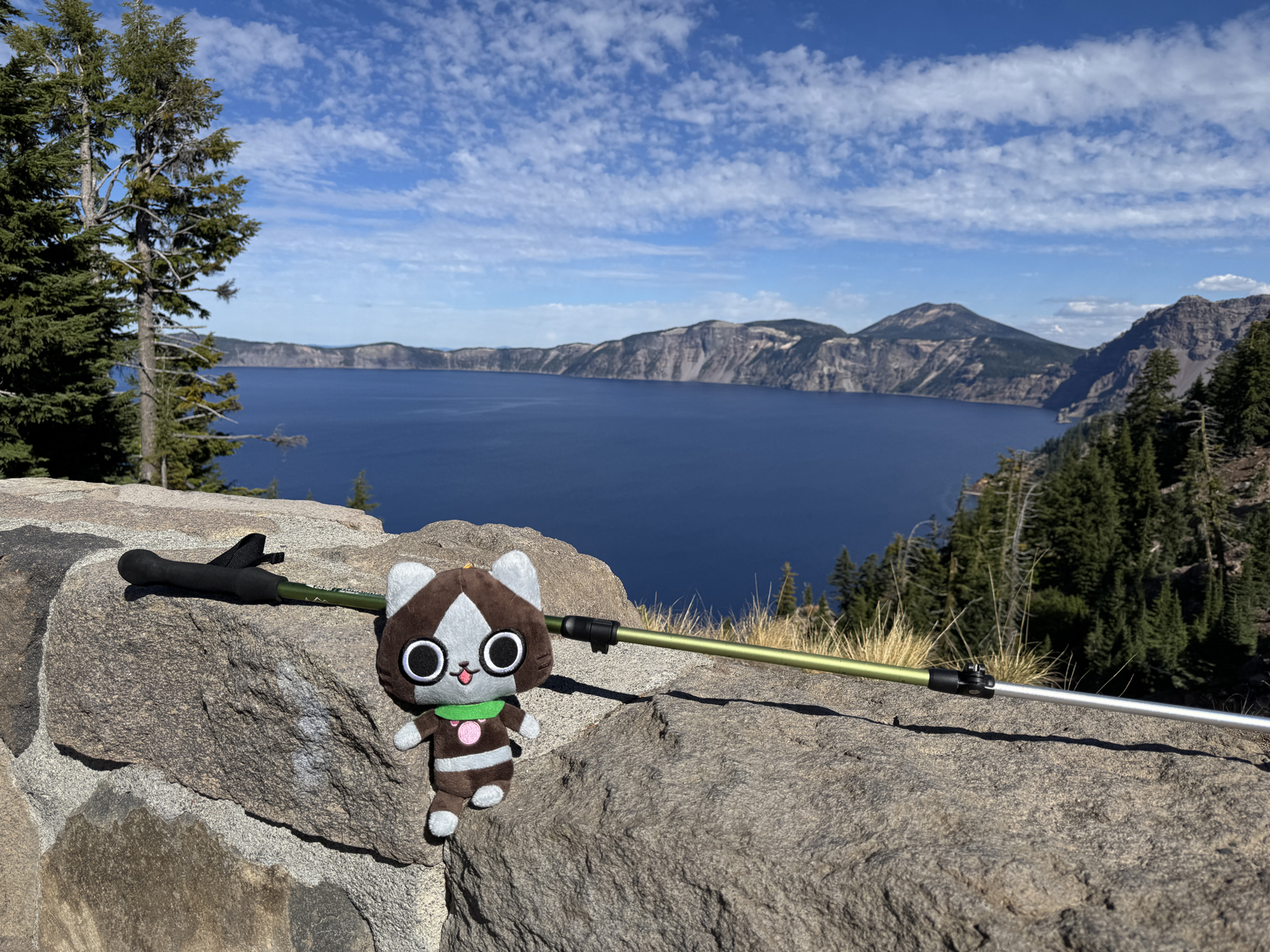
He made it! 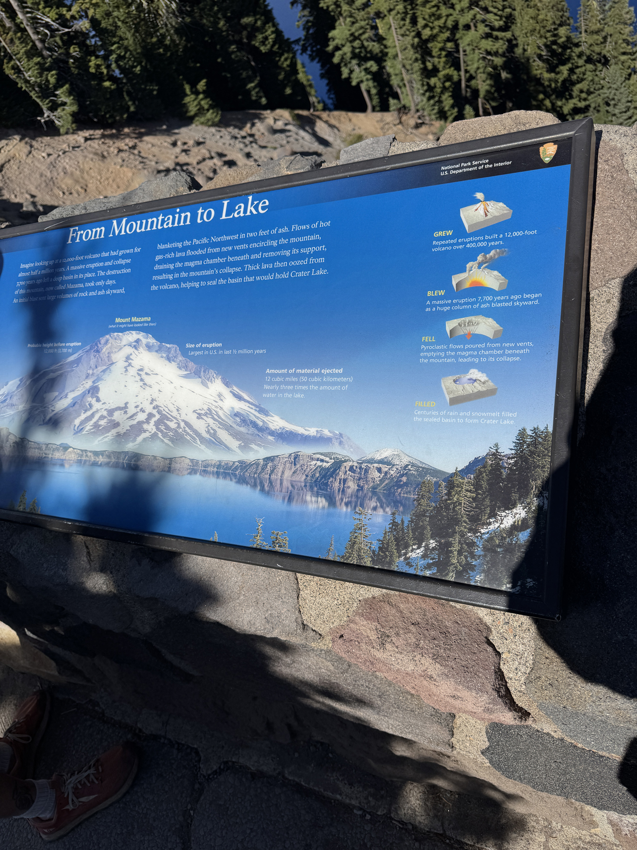
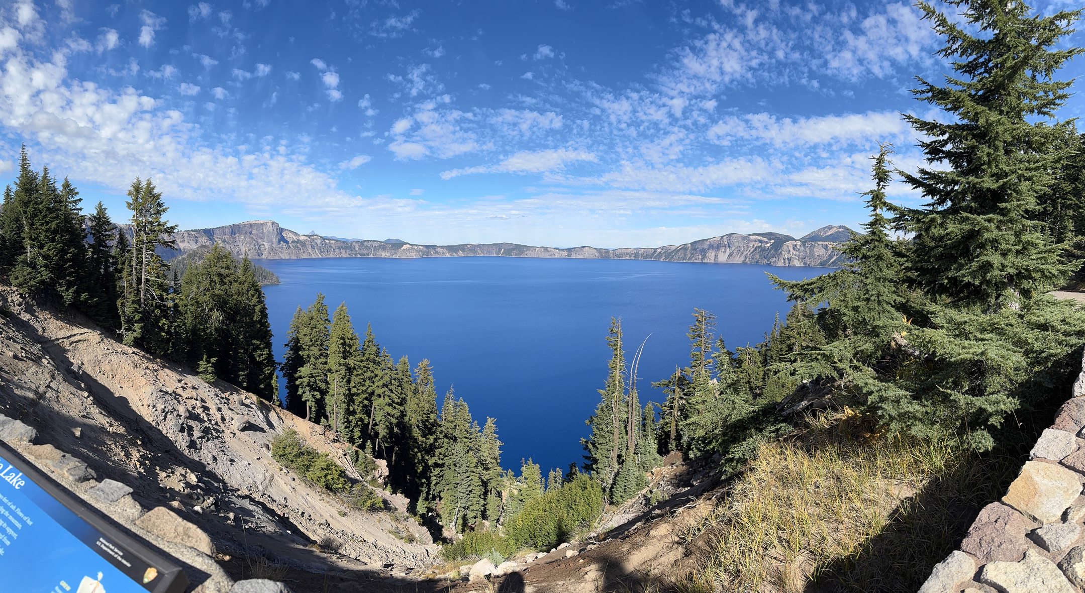
Panorama from Visitor Center elevation 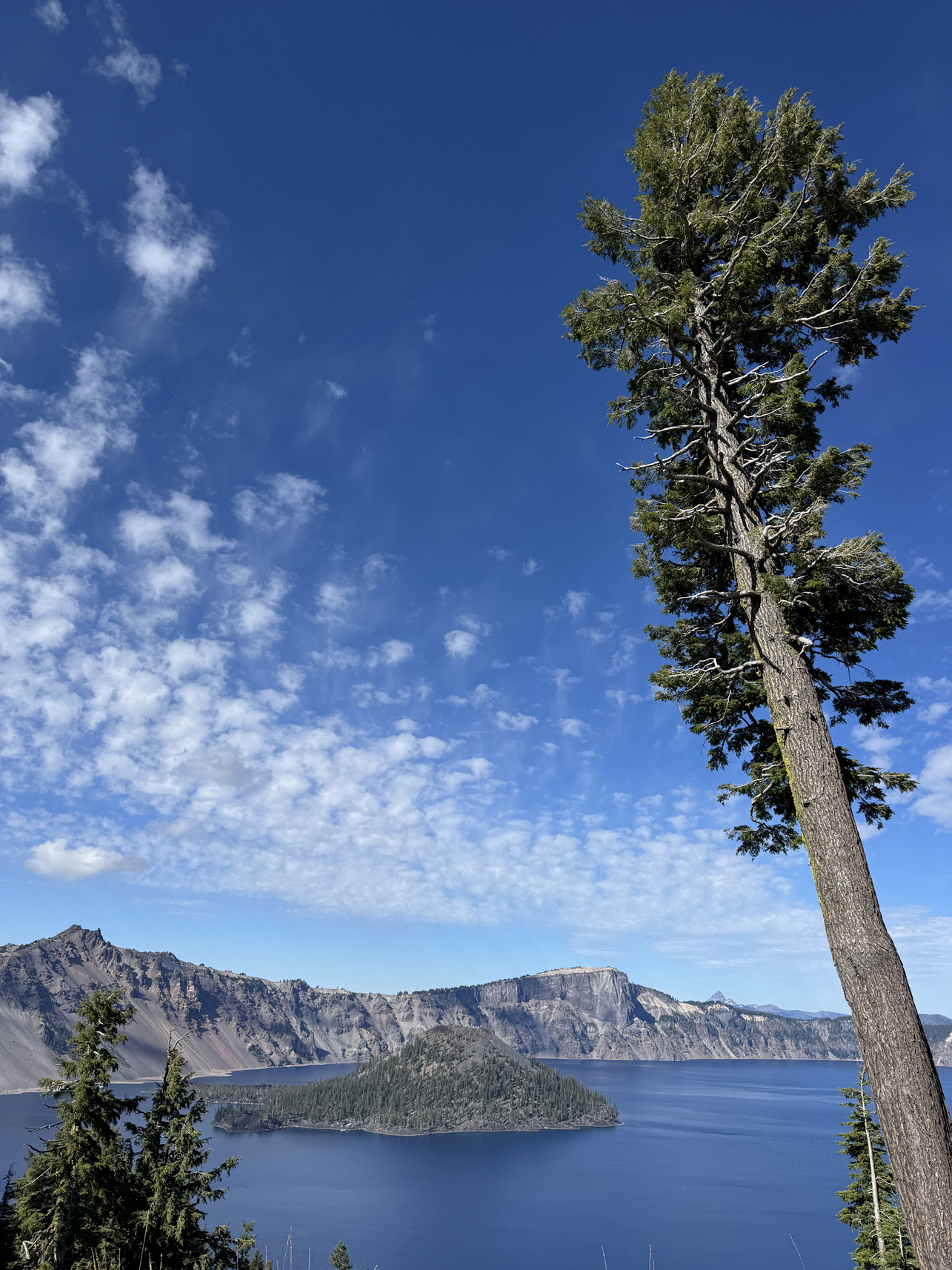
Wizard Island 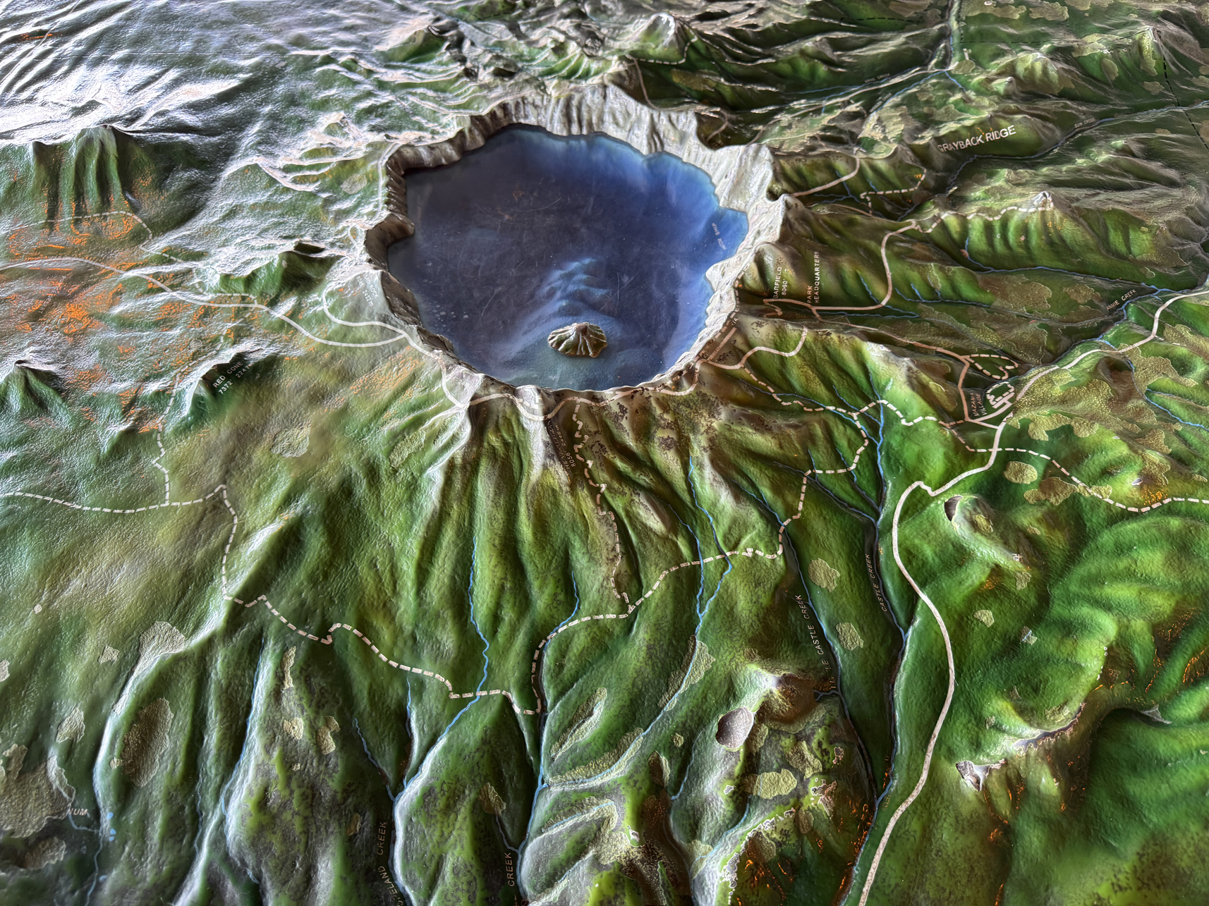
Model of the area in an Info Center 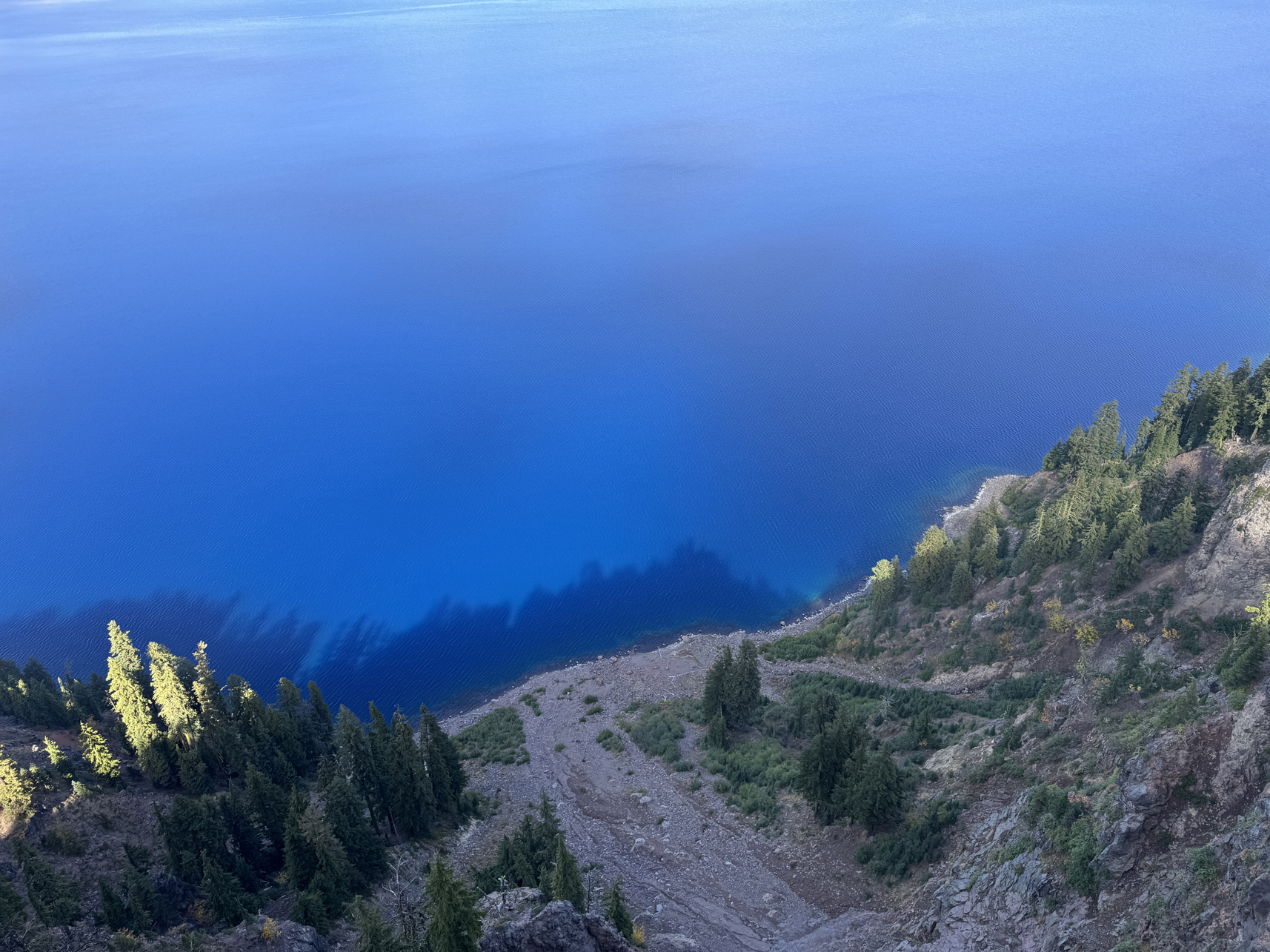
Looking down into the clear blue waters 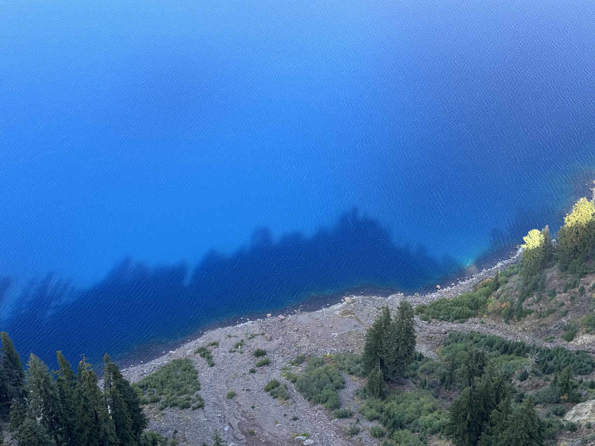
Looking down into the clear blue waters 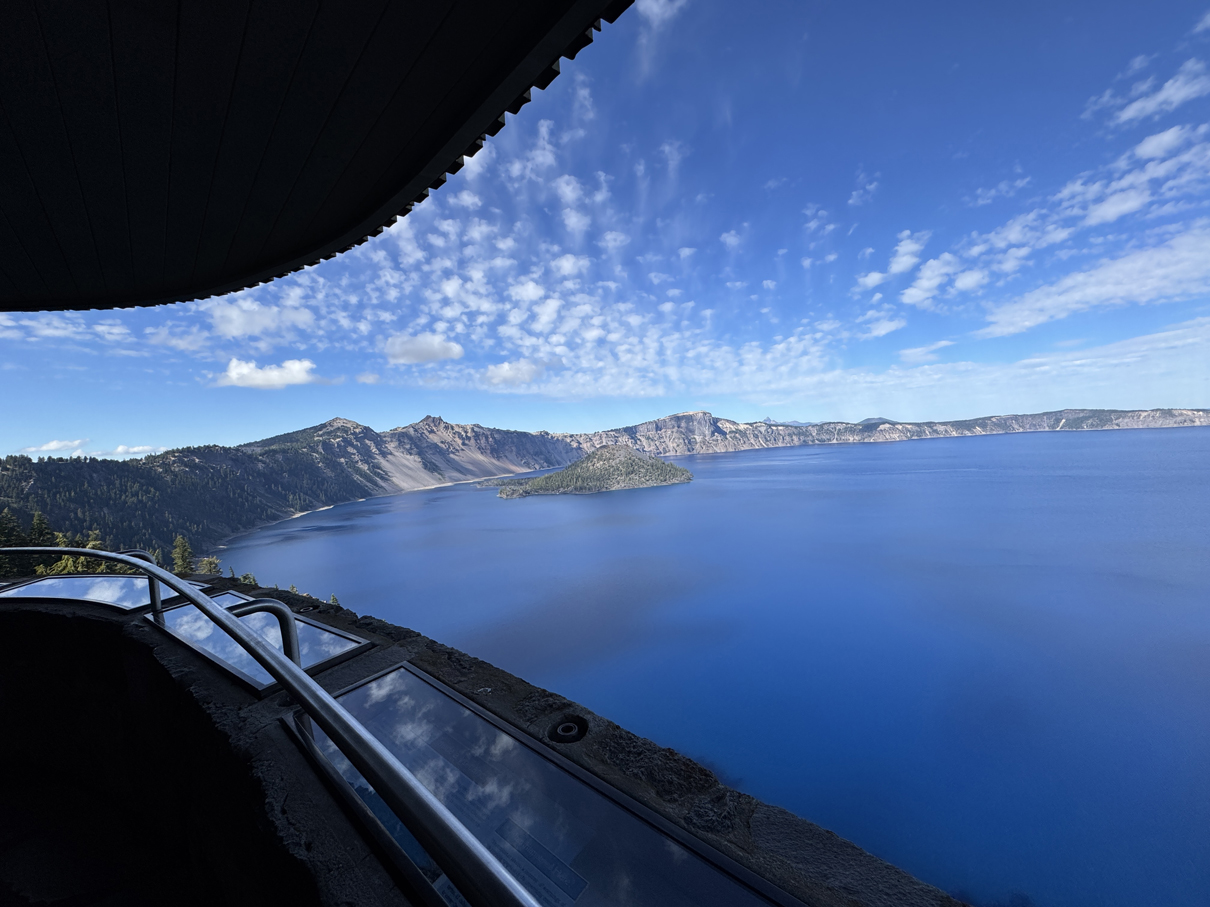
View from within the Info Center 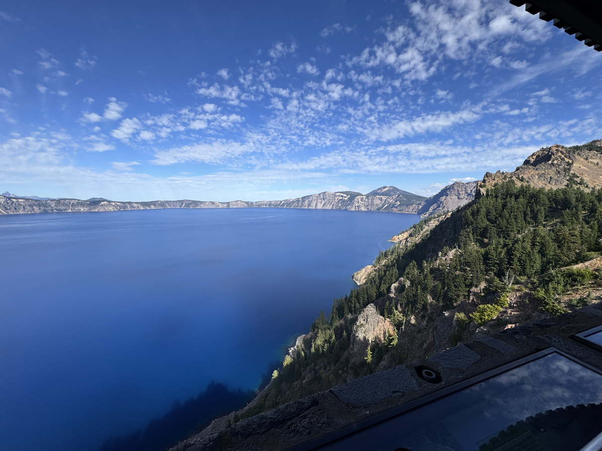
View from within the Info Center 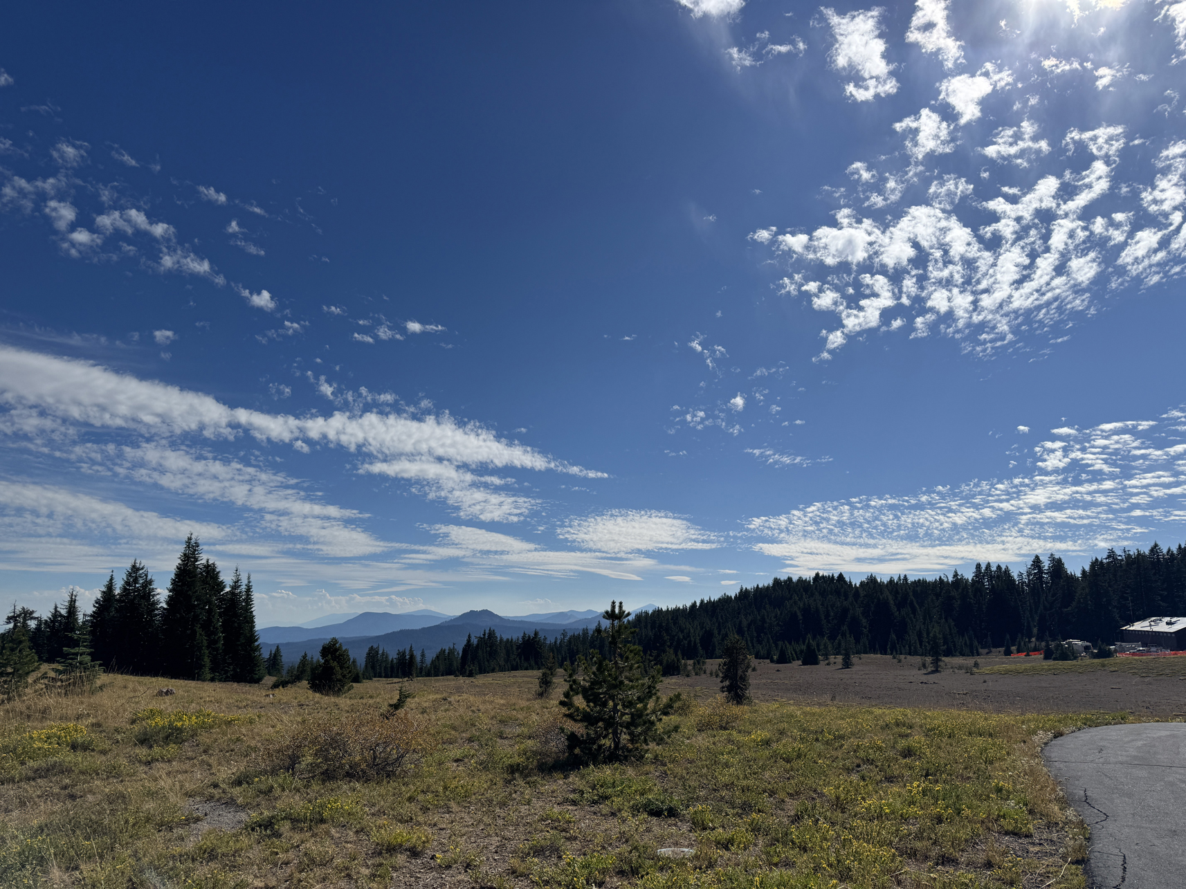
Facing southwest from the Crater Lake rim 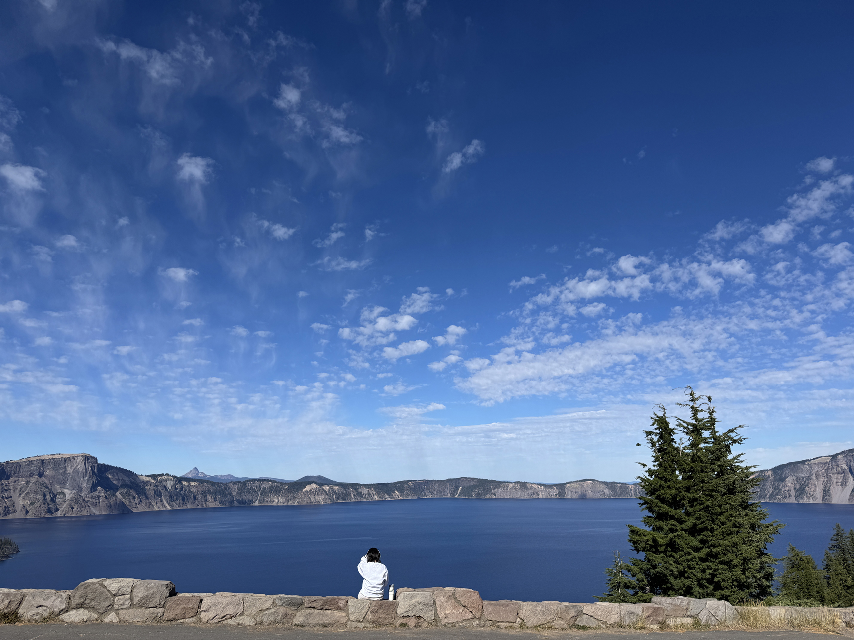
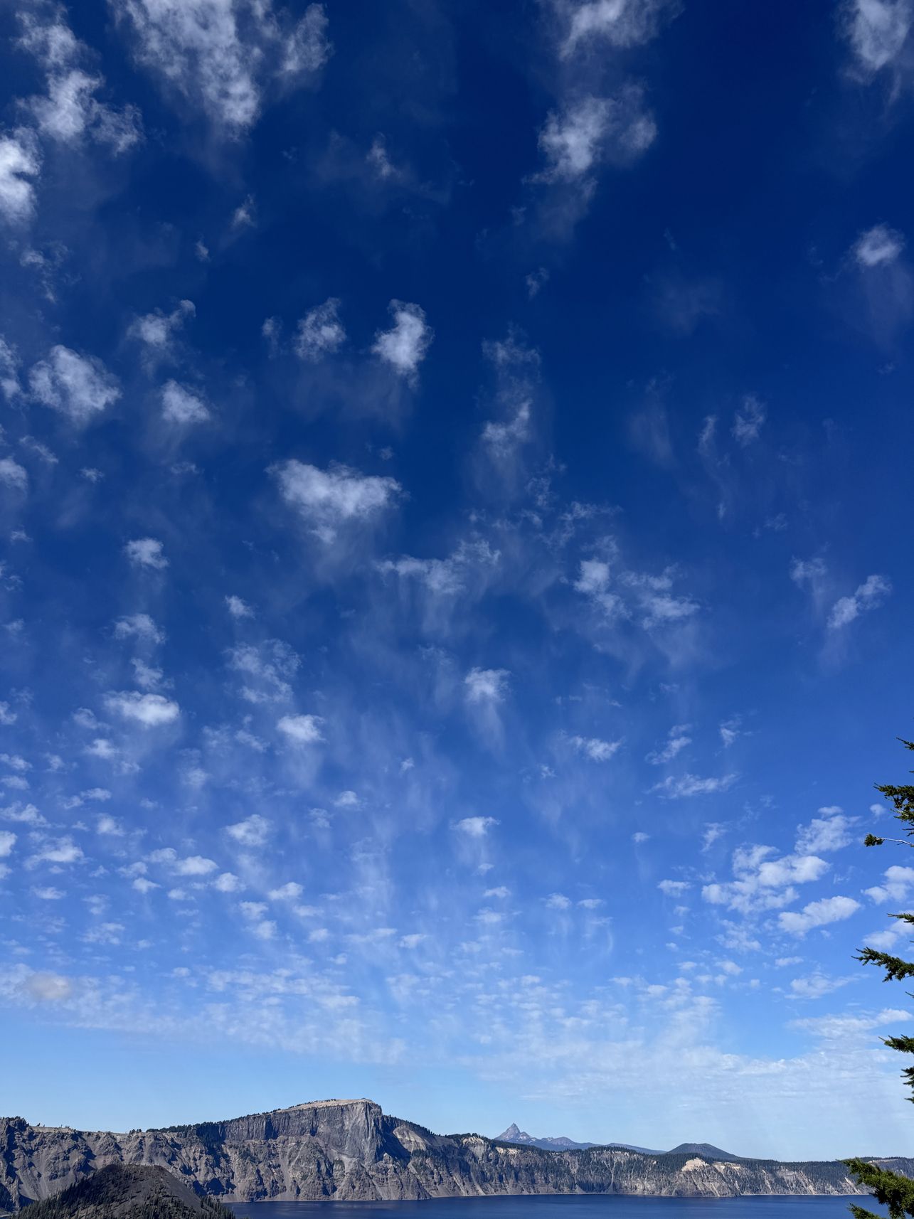
jellyfish 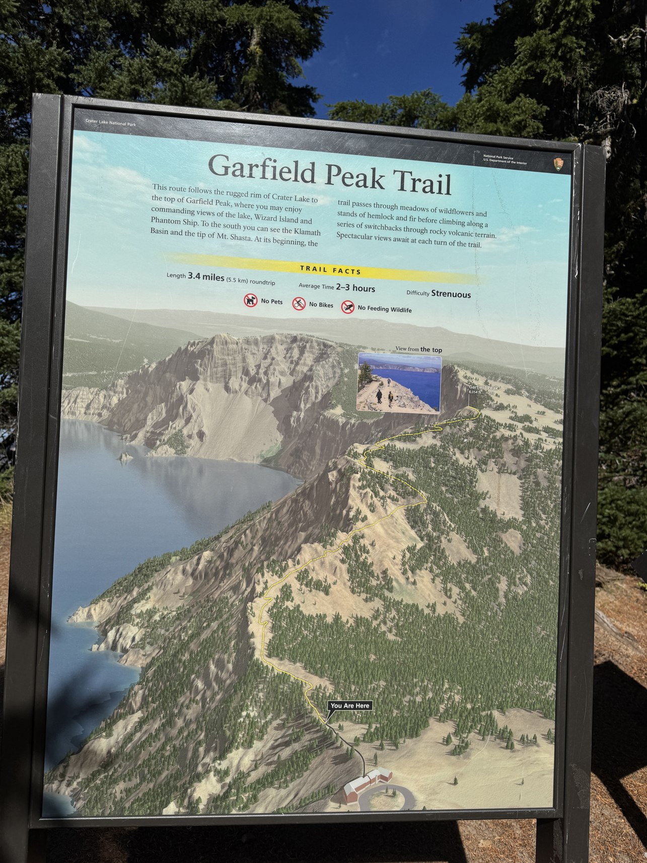
Not mentioned: 1,000ft of elevation change, equivalent of walking up 100 flights of stairs 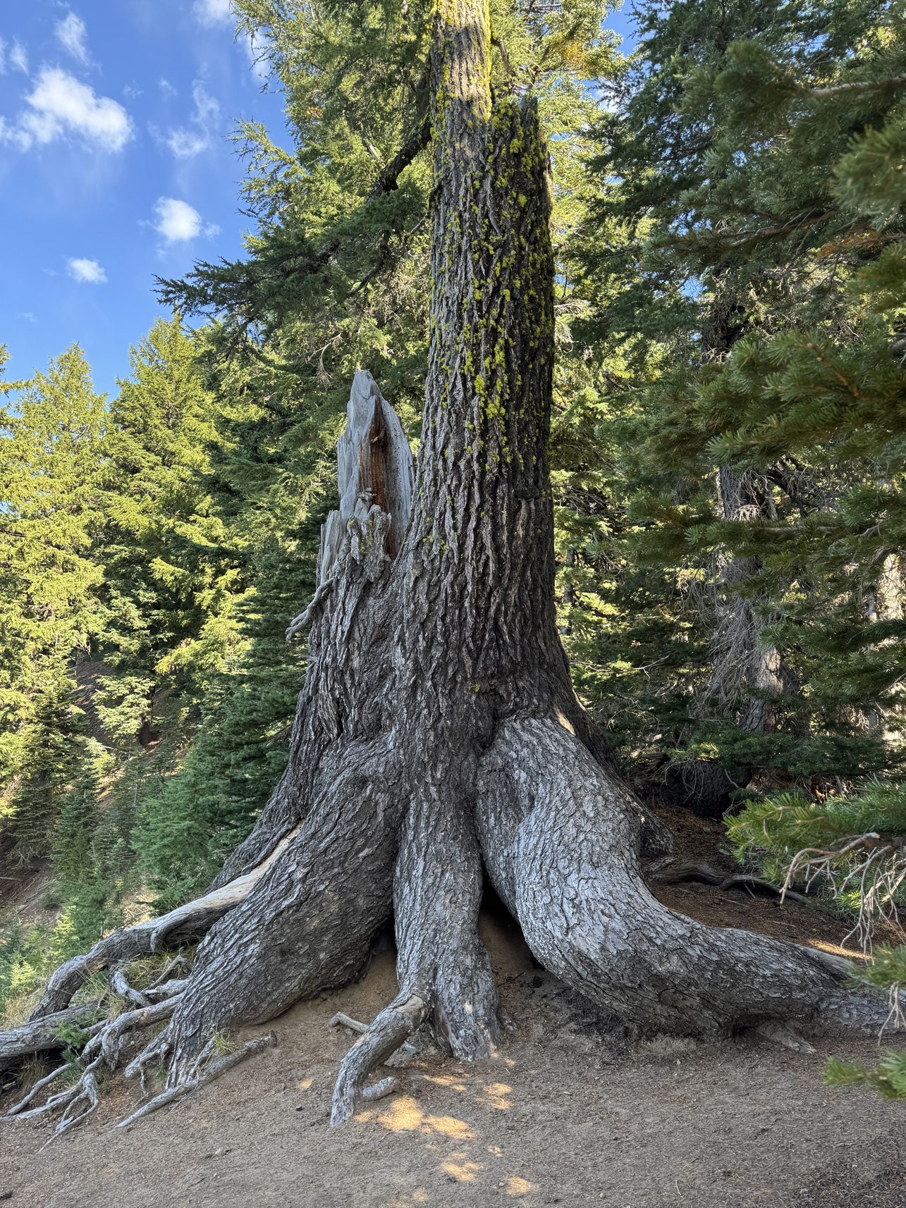
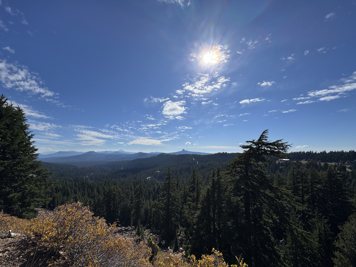
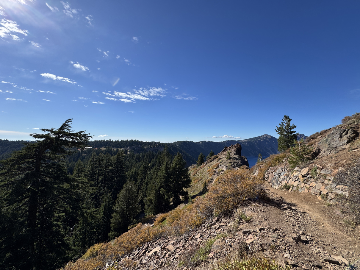
Along Garfield Peak trail 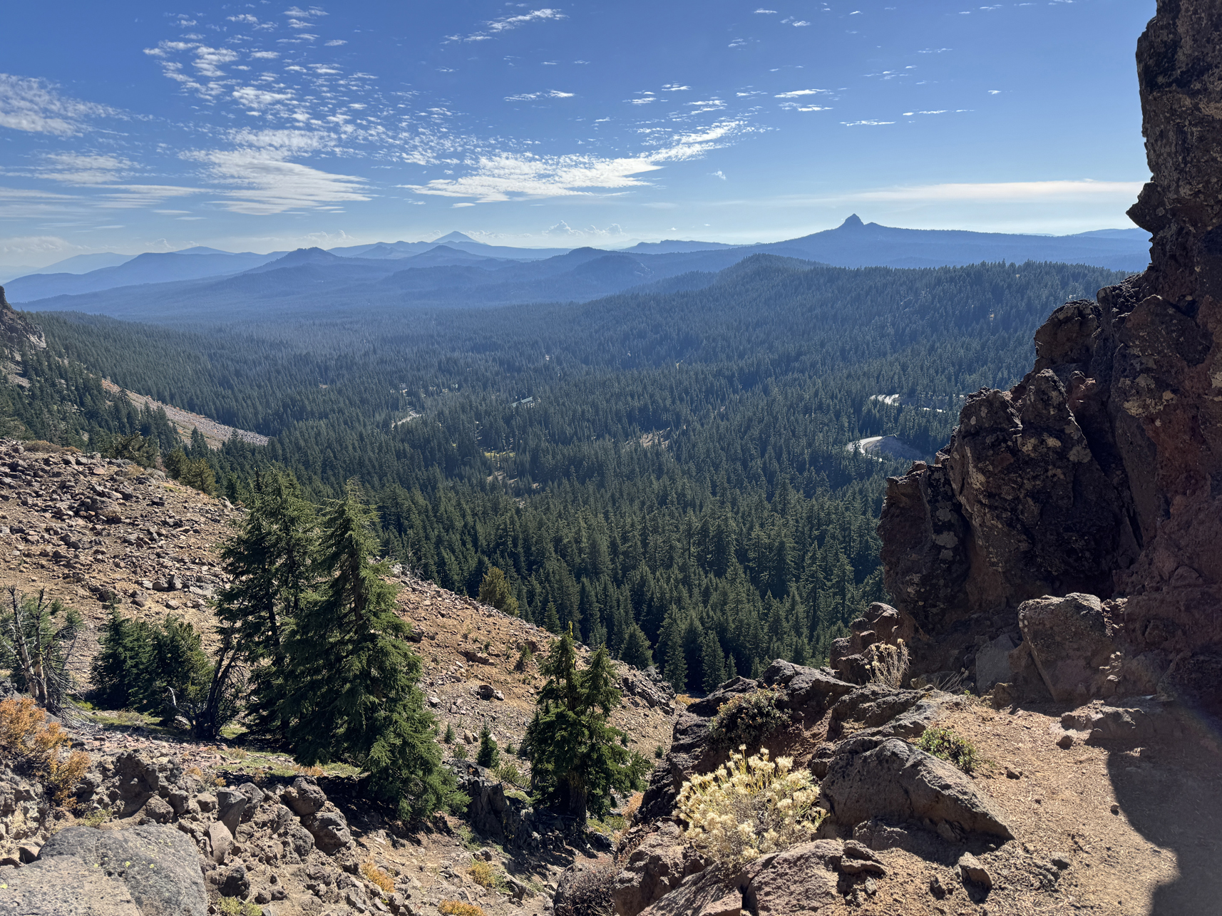
Looking southwest from Garfield Peak trail 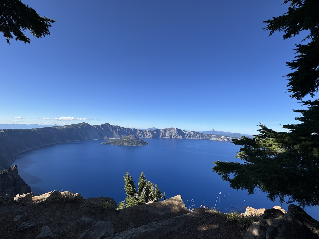
Looking down during climb on Garfield Peak trail 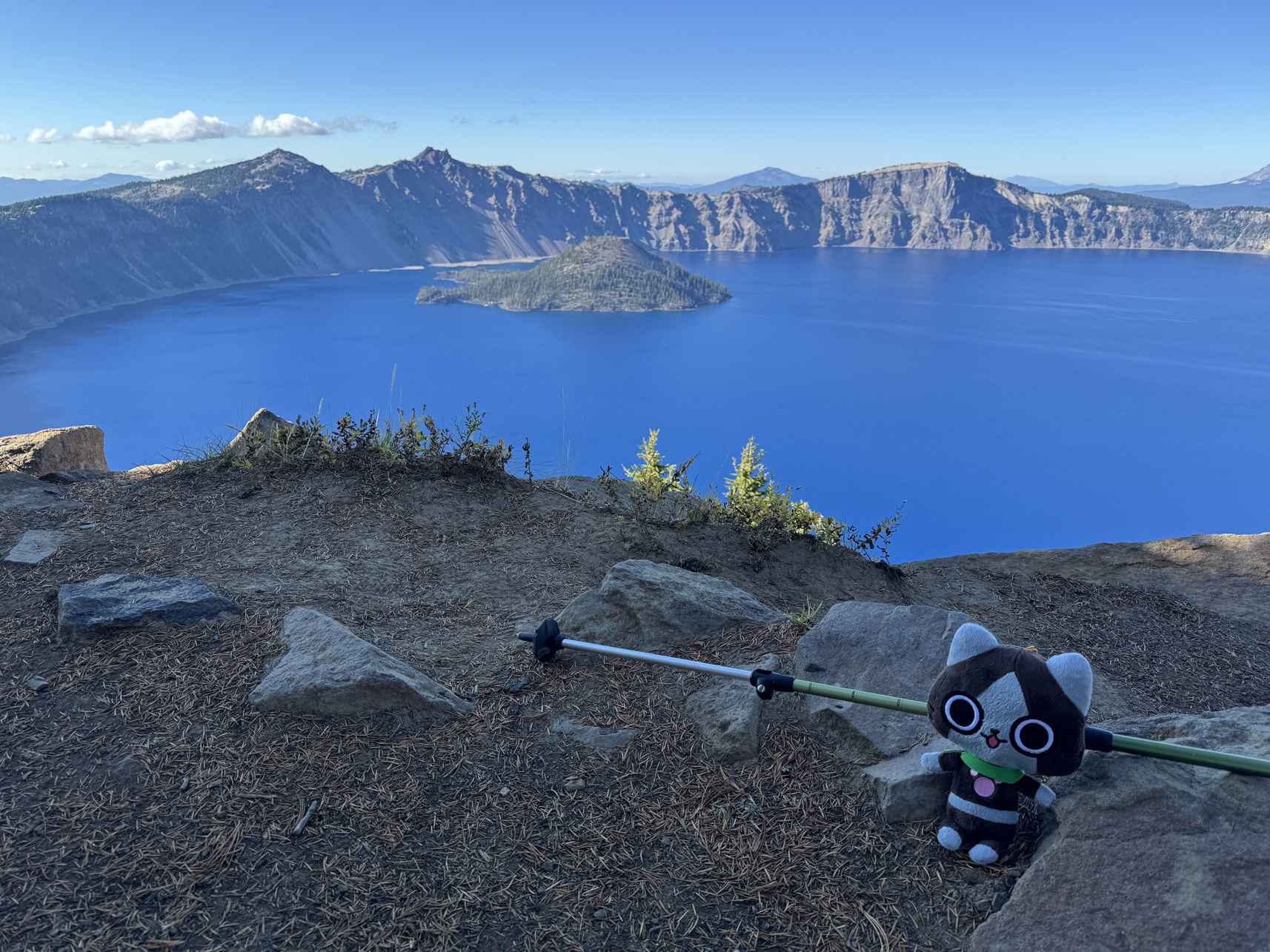
He made it to the top! 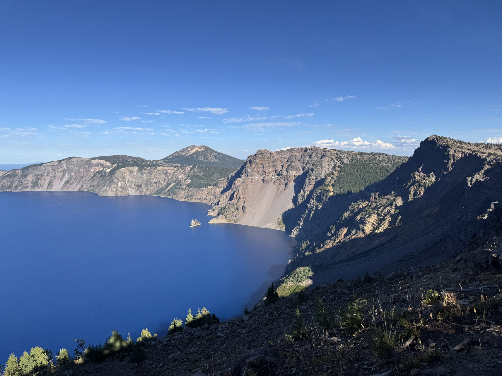
Looking northeast from Garfield Peak trail ascent 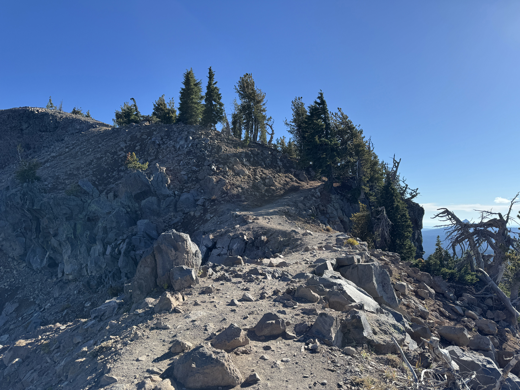
Garfield Peak trail 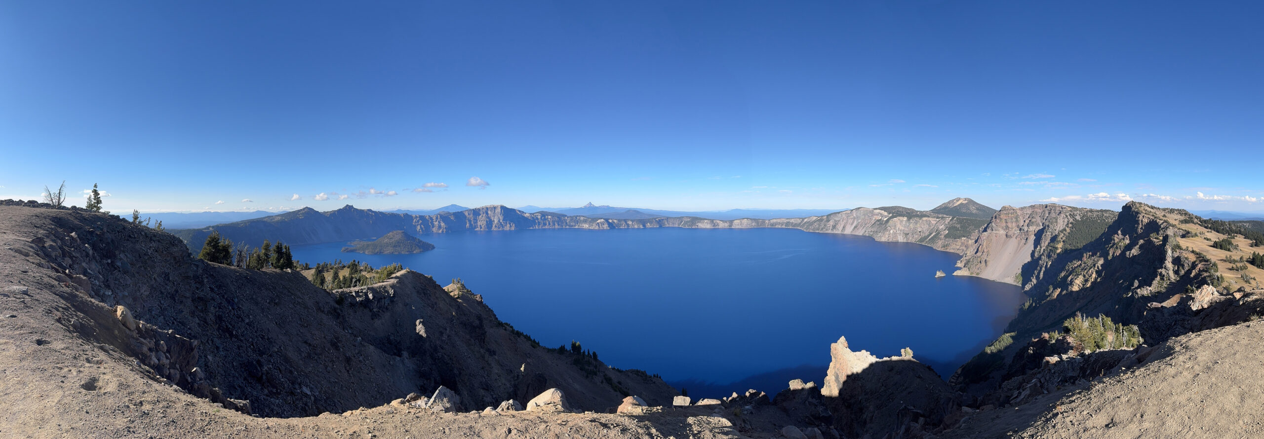
Panorama taken from top of Garfield Peak 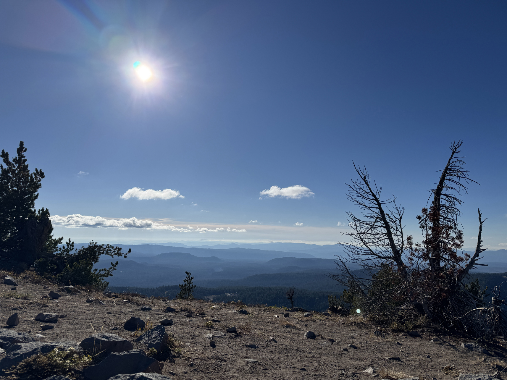
Looking southwest from top of Garfield Peak 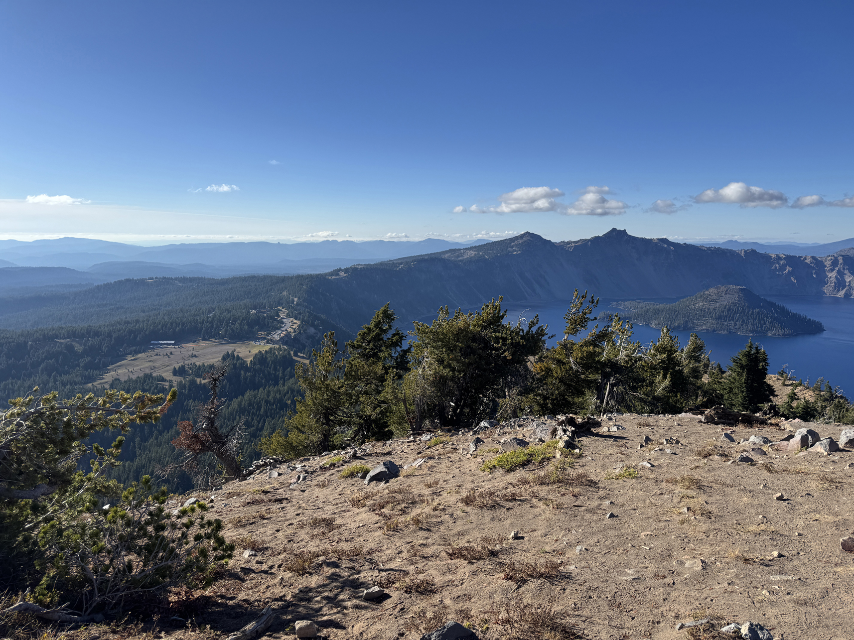
Looking west down onto Visitor Center from Garfield Peak 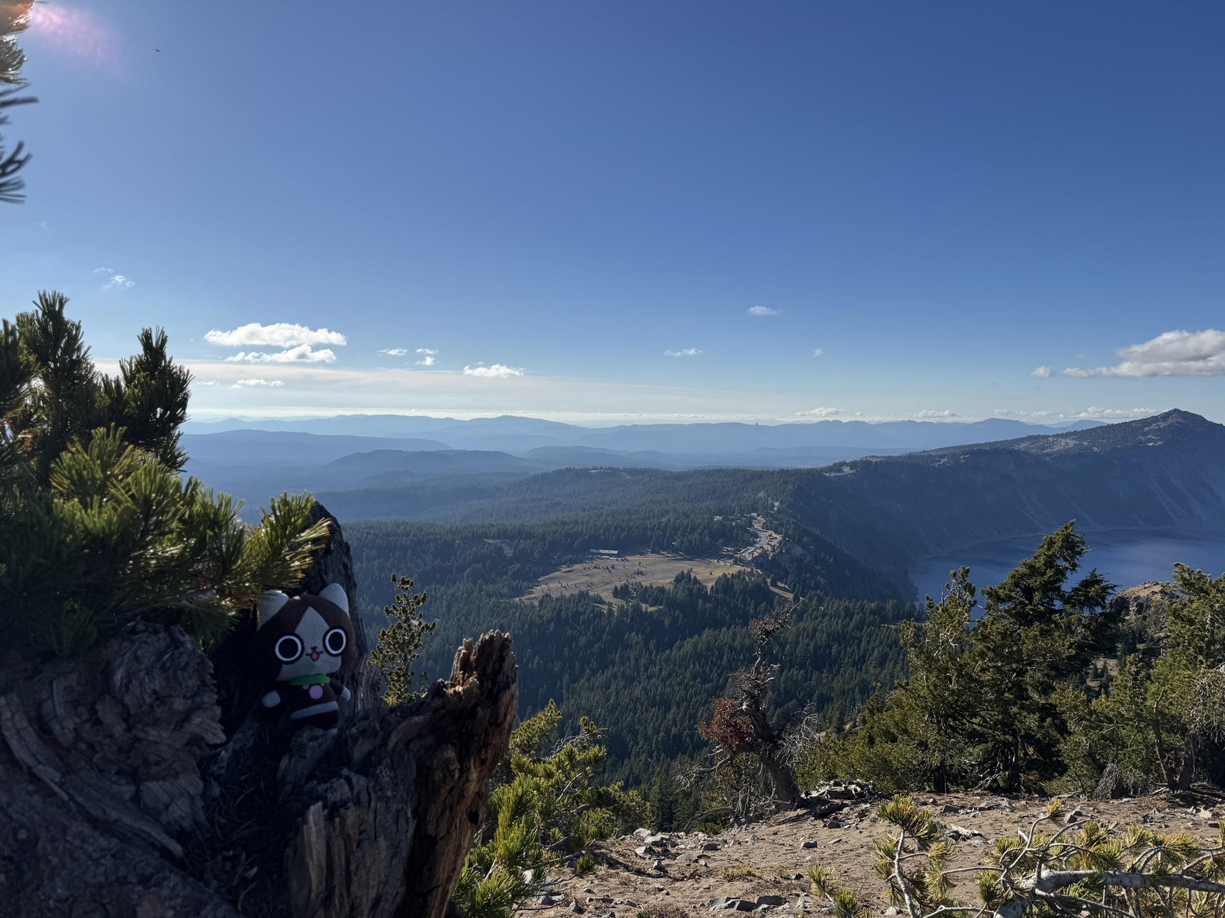
Enjoying the view 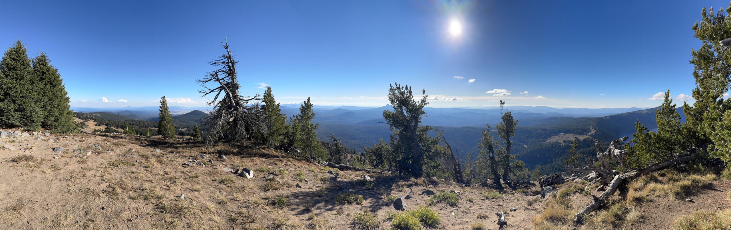
Panorama looking south from Garfield Peak 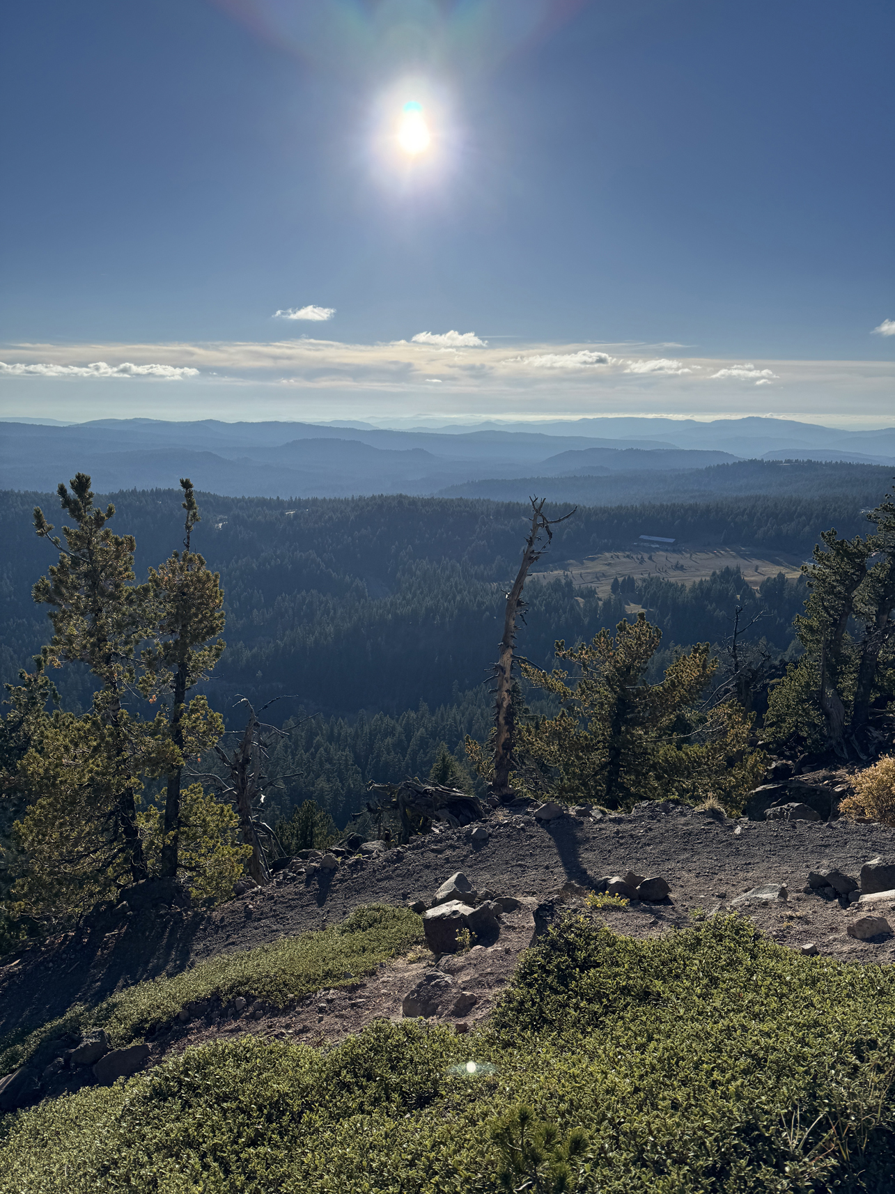
Garfield Peak, facing southwest 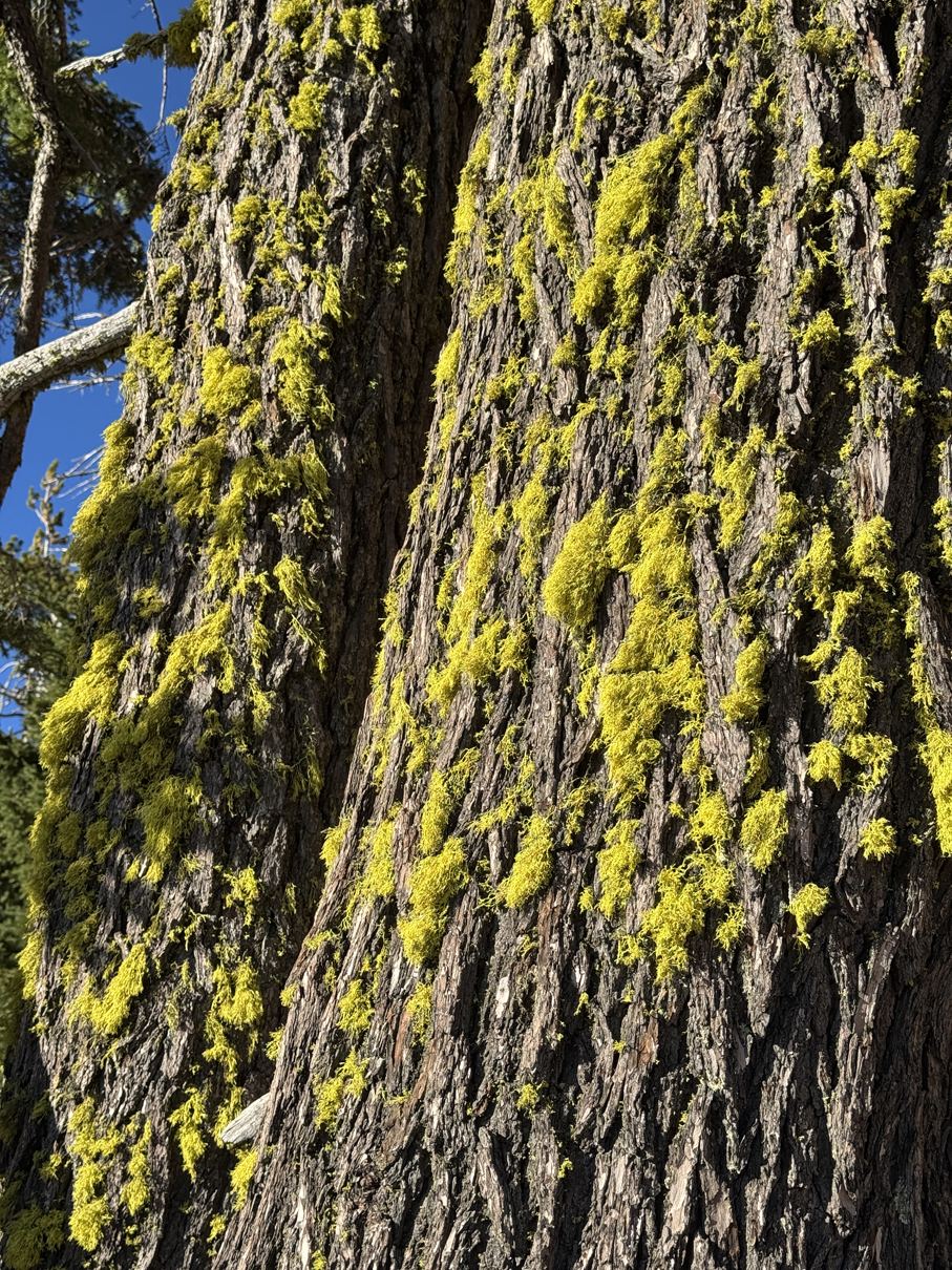
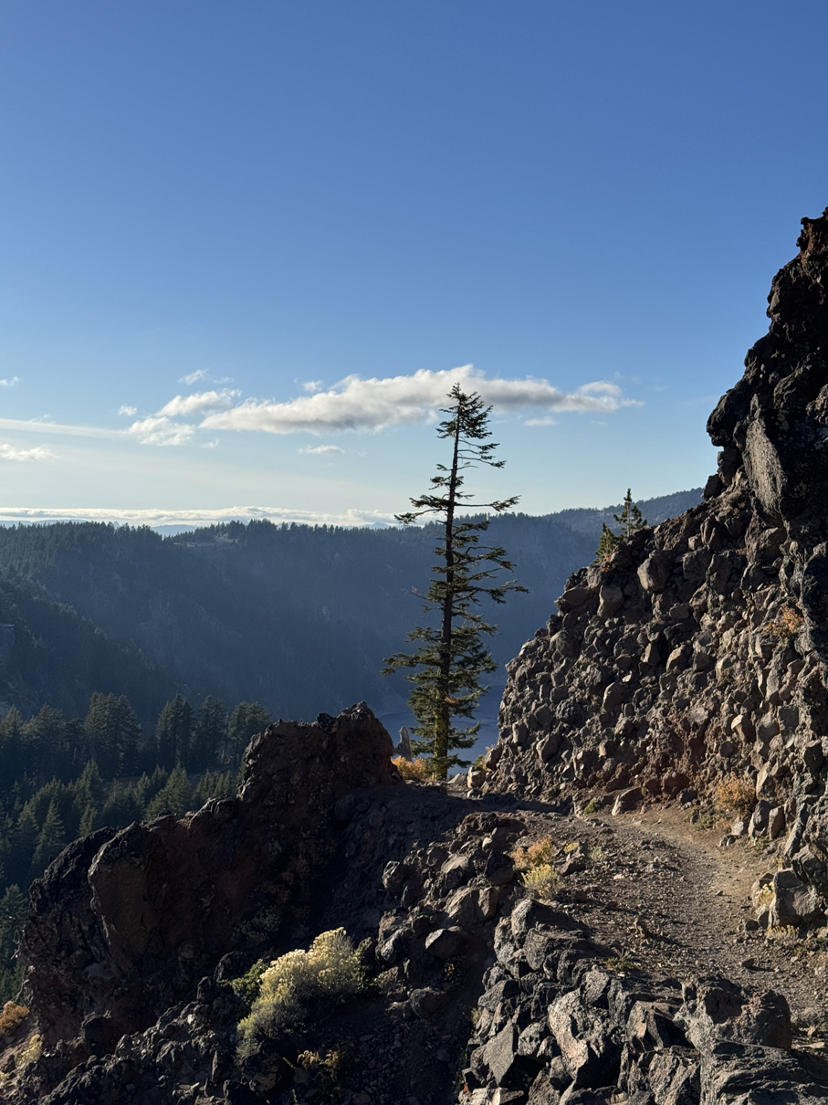
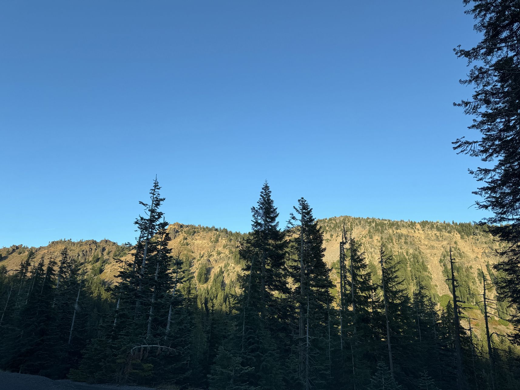
Looking up at Garfield Peak from the road
Overview:
From stay outside Fort Klamath, drove west a few hours to Oregon Caves National Monument. Took the tour, then walked a short trail.
Drove from there to Crescent City (stopped at the border to ensure I wasn’t bringing in any citrus fruits) and walked to the Battery Point Lighthouse.
Journey: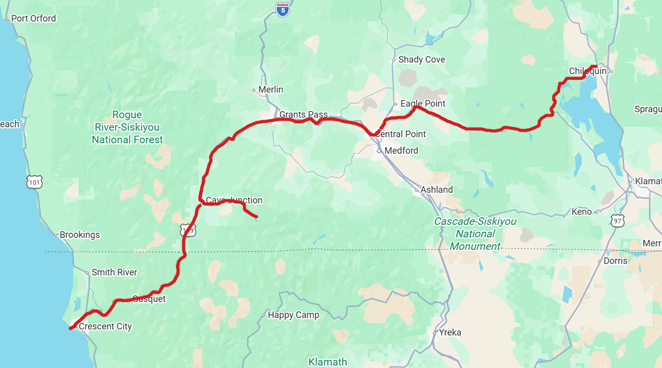
Gallery:
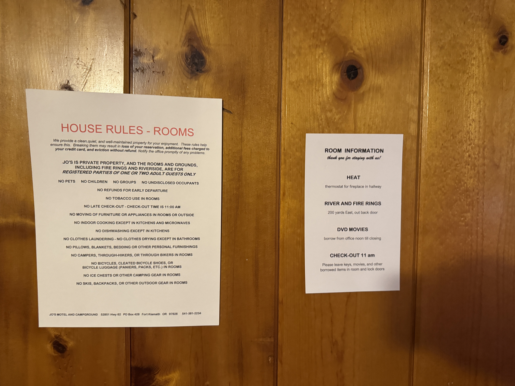
Intense set of rules in Jo’s Motel. NO FUN! 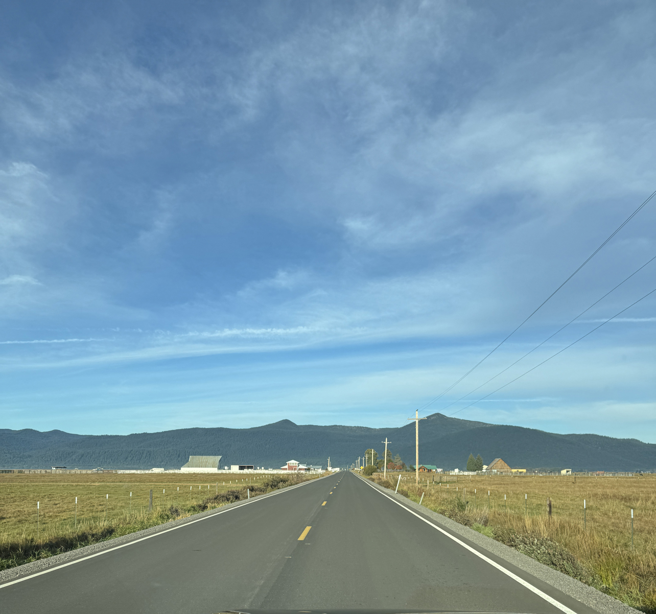
Drive west along Volcanic Legacy Scenic Byway 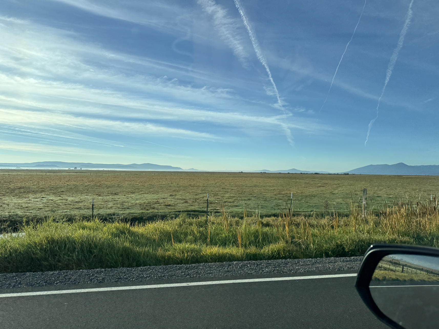
Drive west (facing South) along Volcanic Legacy Scenic Byway 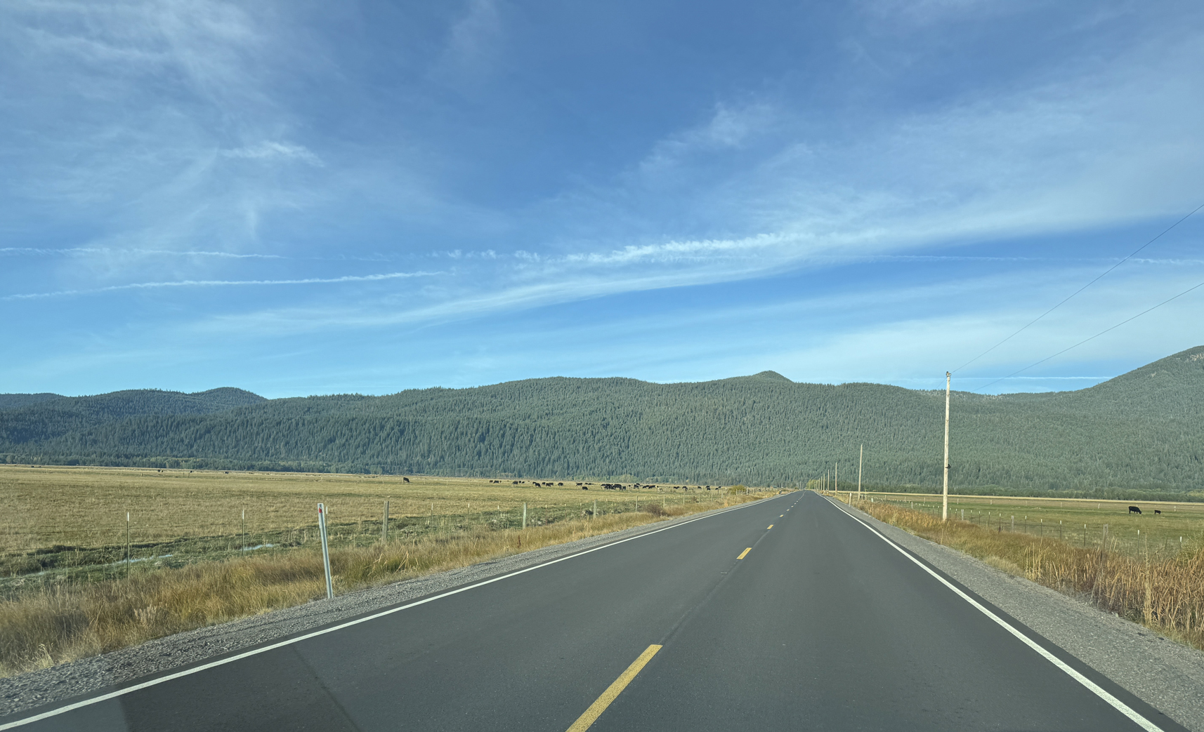
Drive west along Volcanic Legacy Scenic Byway 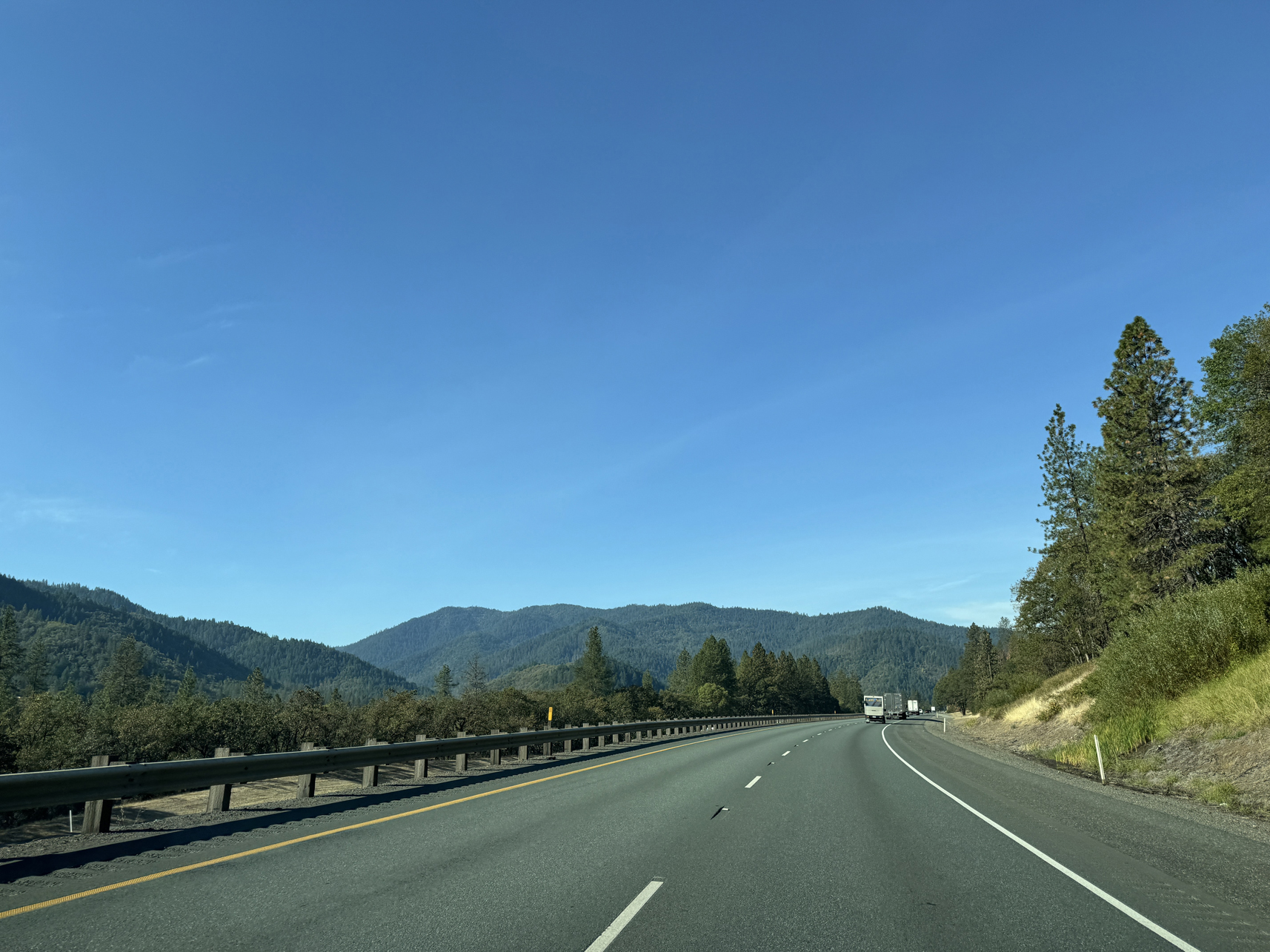
Driving west along 140, toward Medford 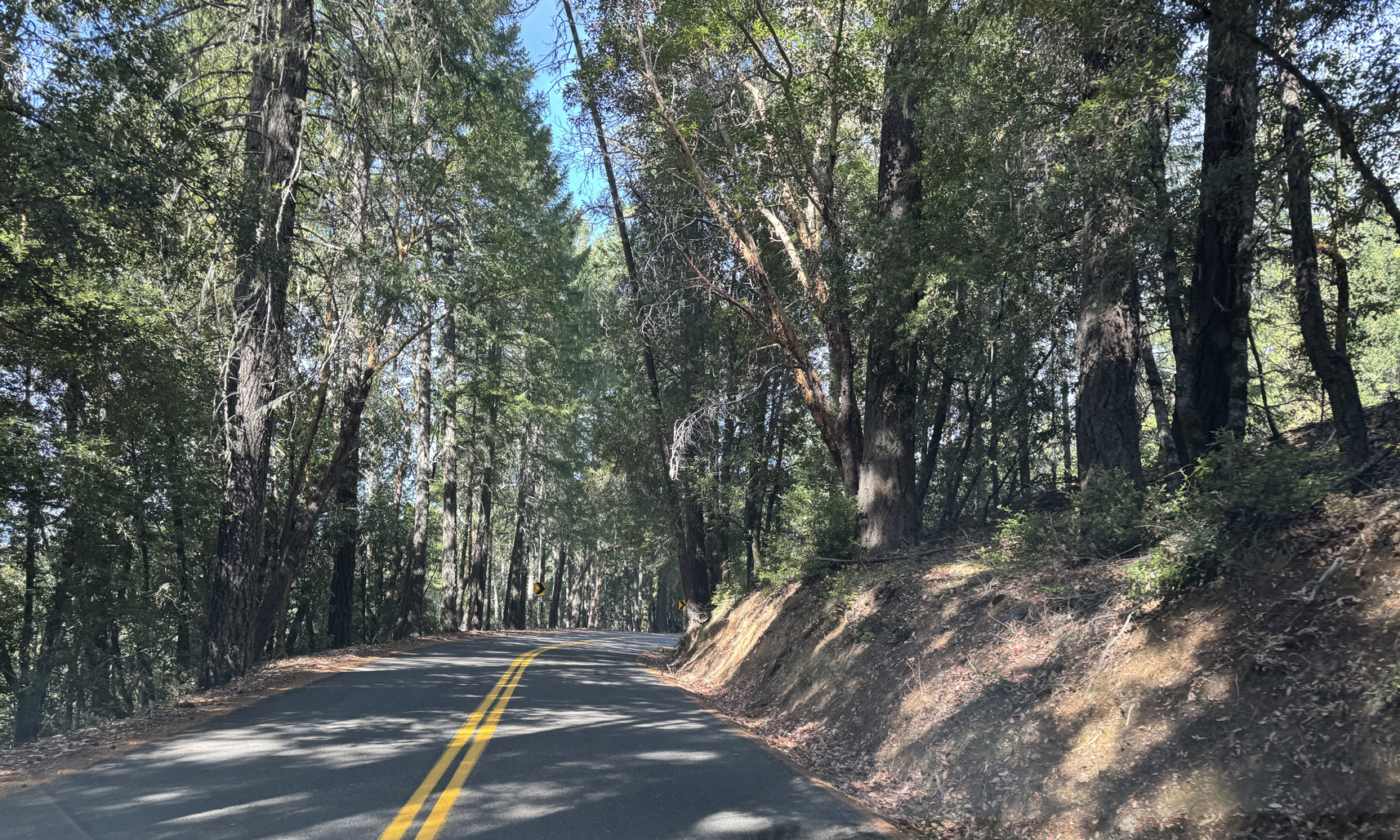
Driving along the super twisty 46 – Caves Hwy toward Oregon Caves 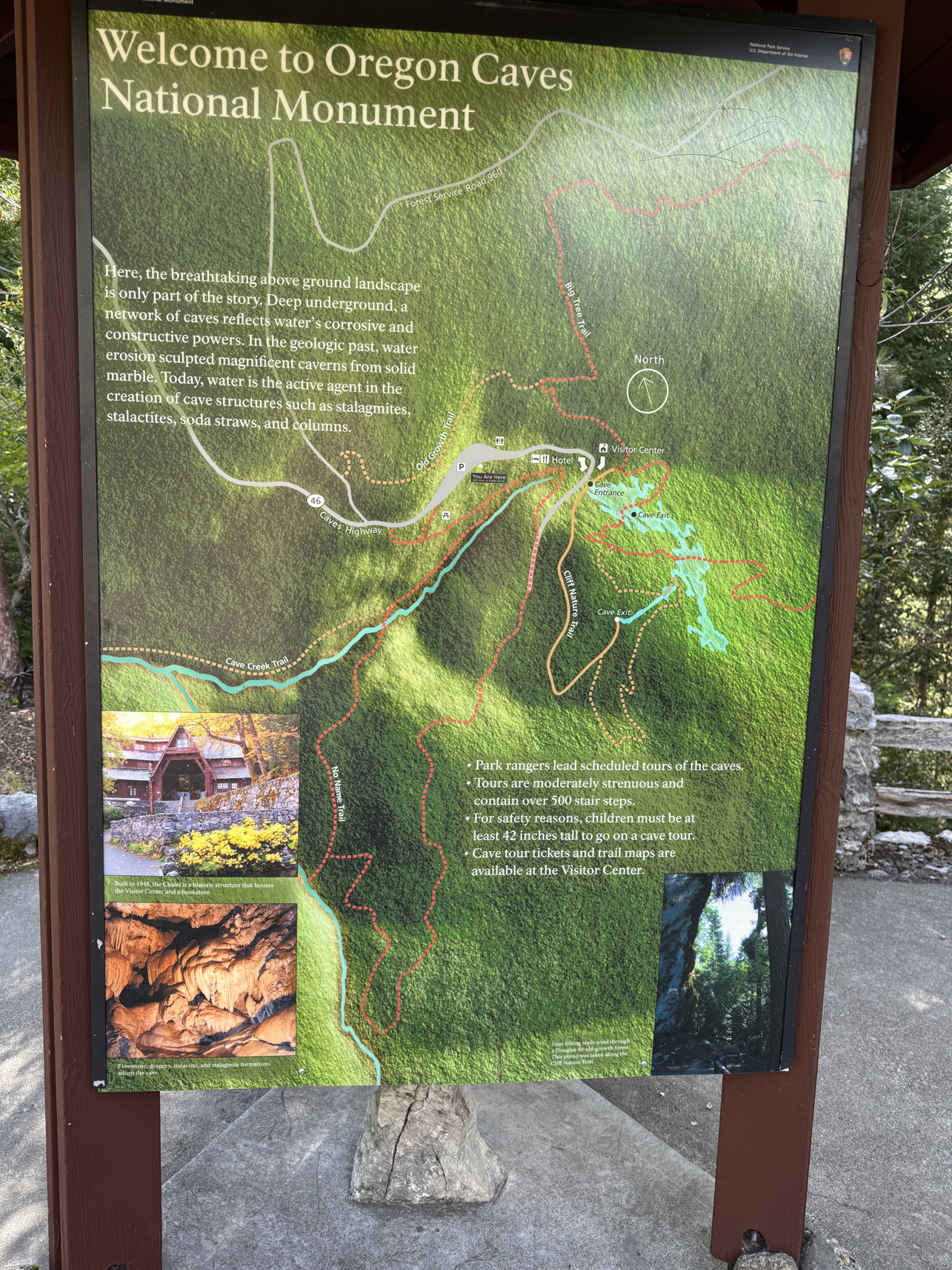
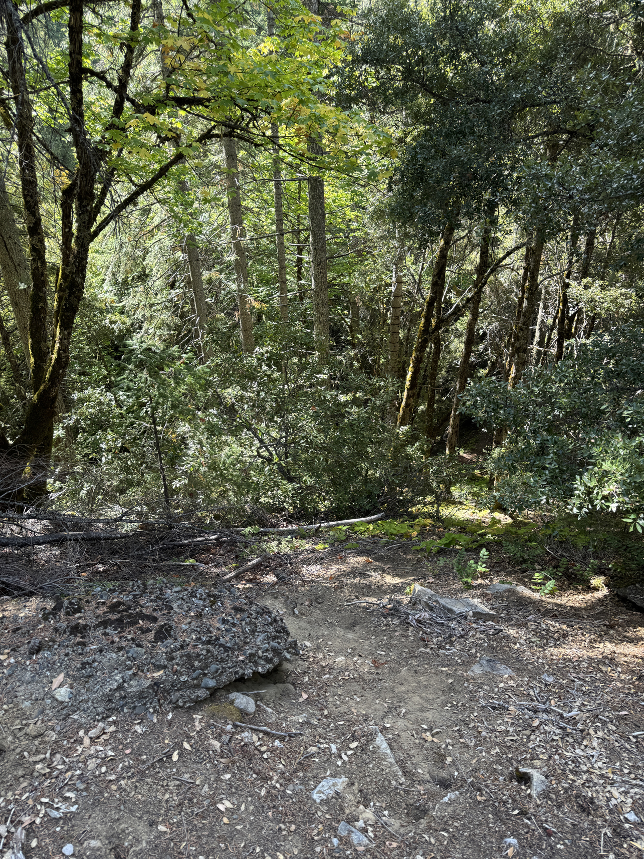
Looking around Oregon Caves site 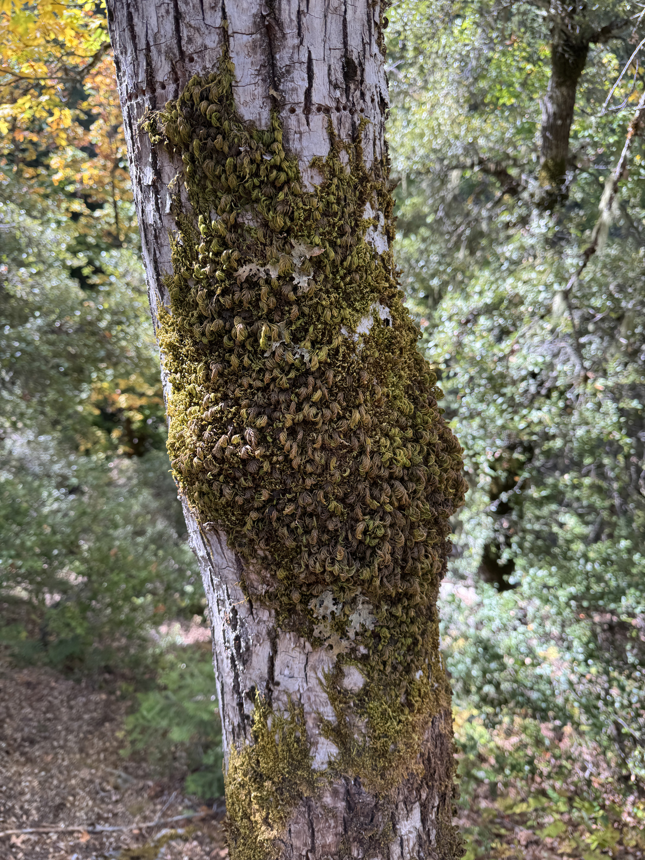
Looking around Oregon Caves site 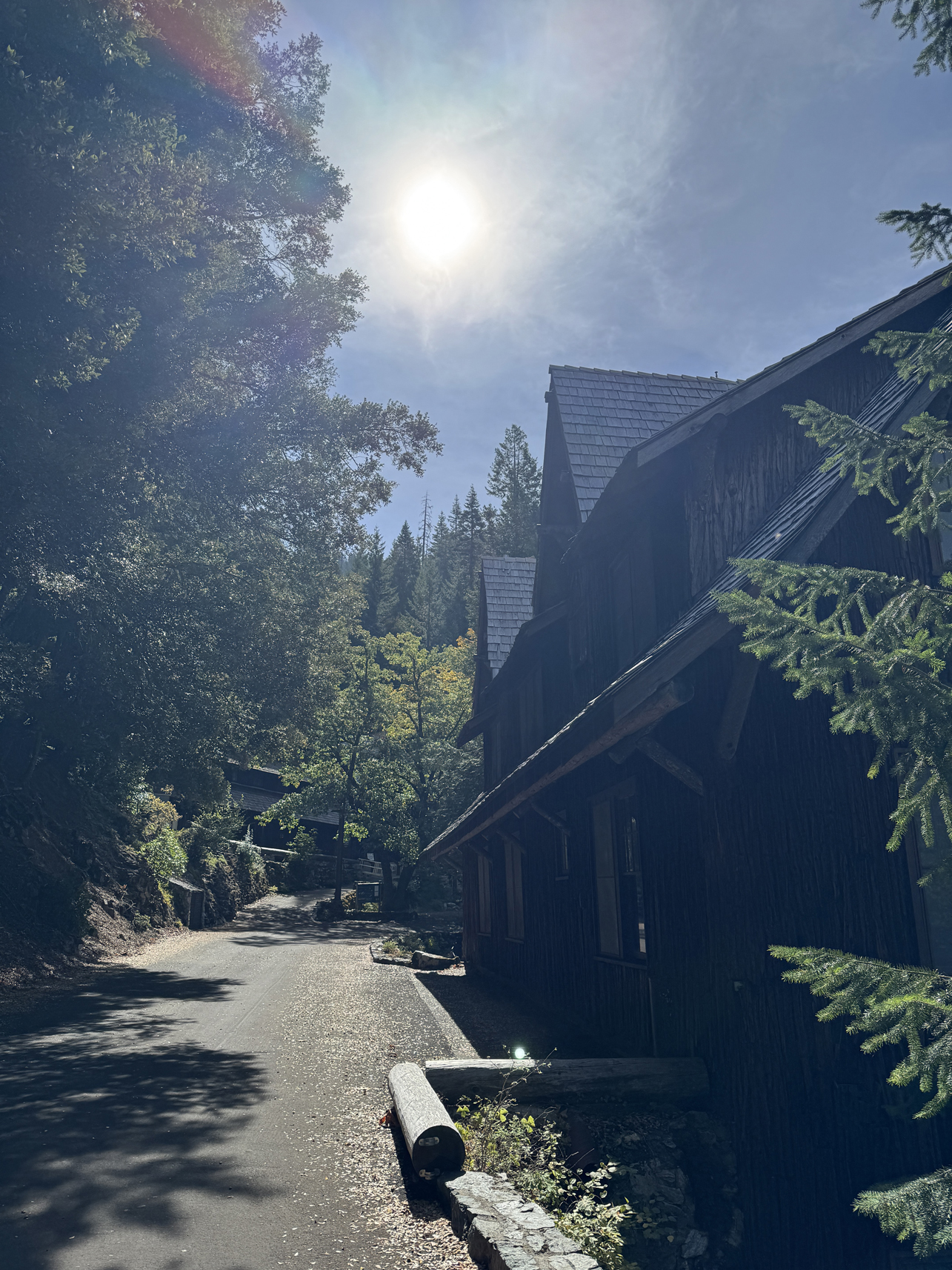
Looking around Oregon Caves site 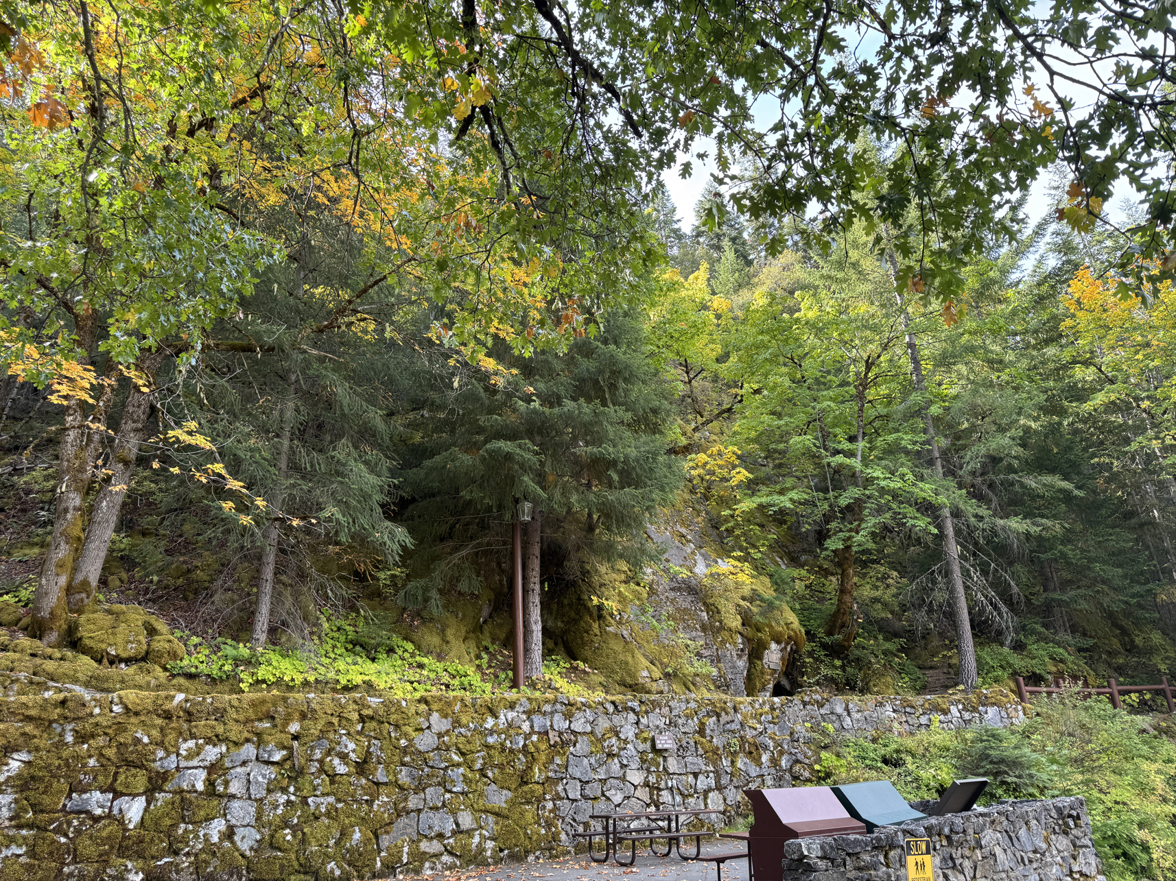
Looking around Oregon Caves site (cave entrance directly in middle) 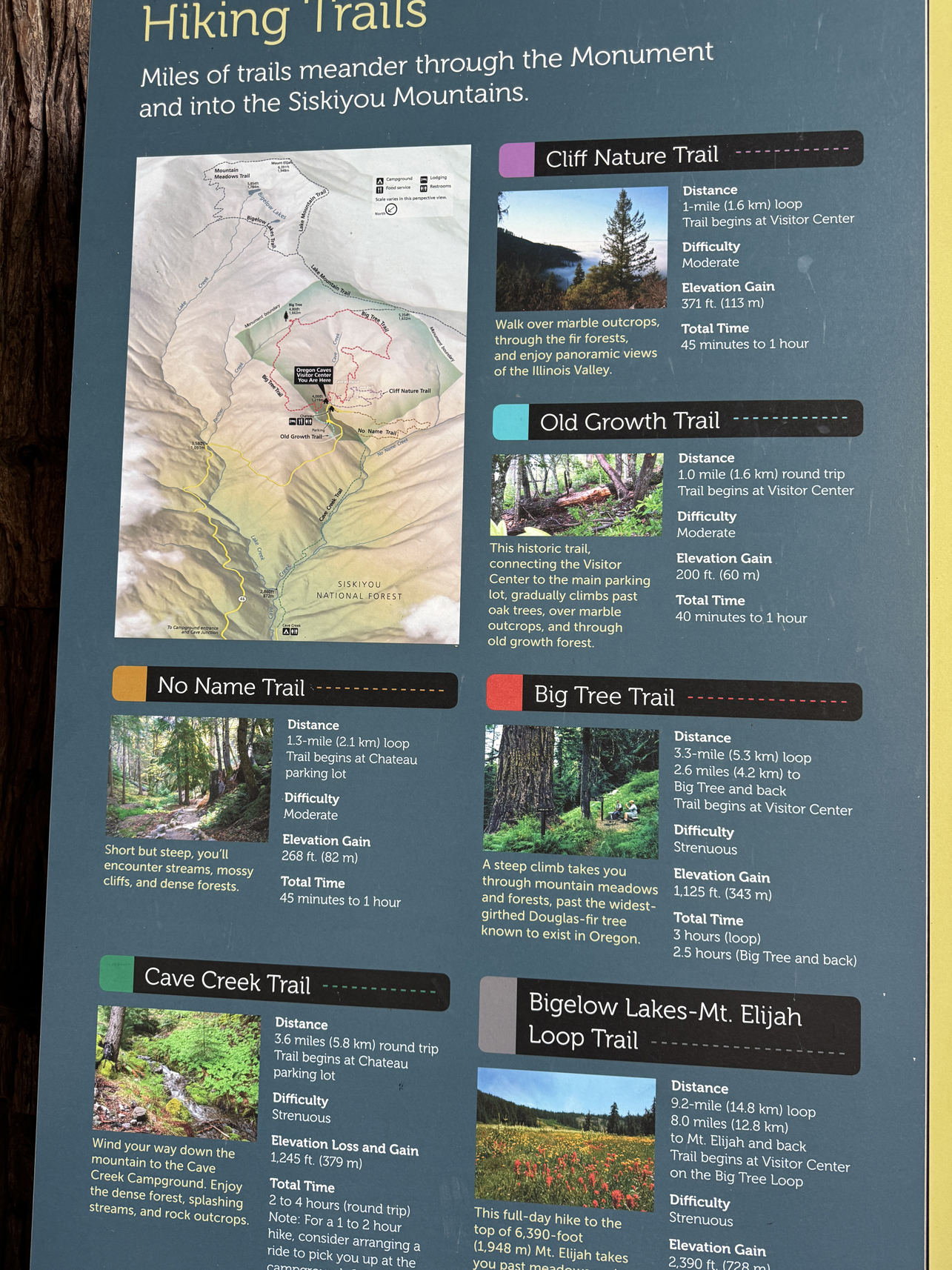
Map of trails. I walked Cliff Nature Trail. 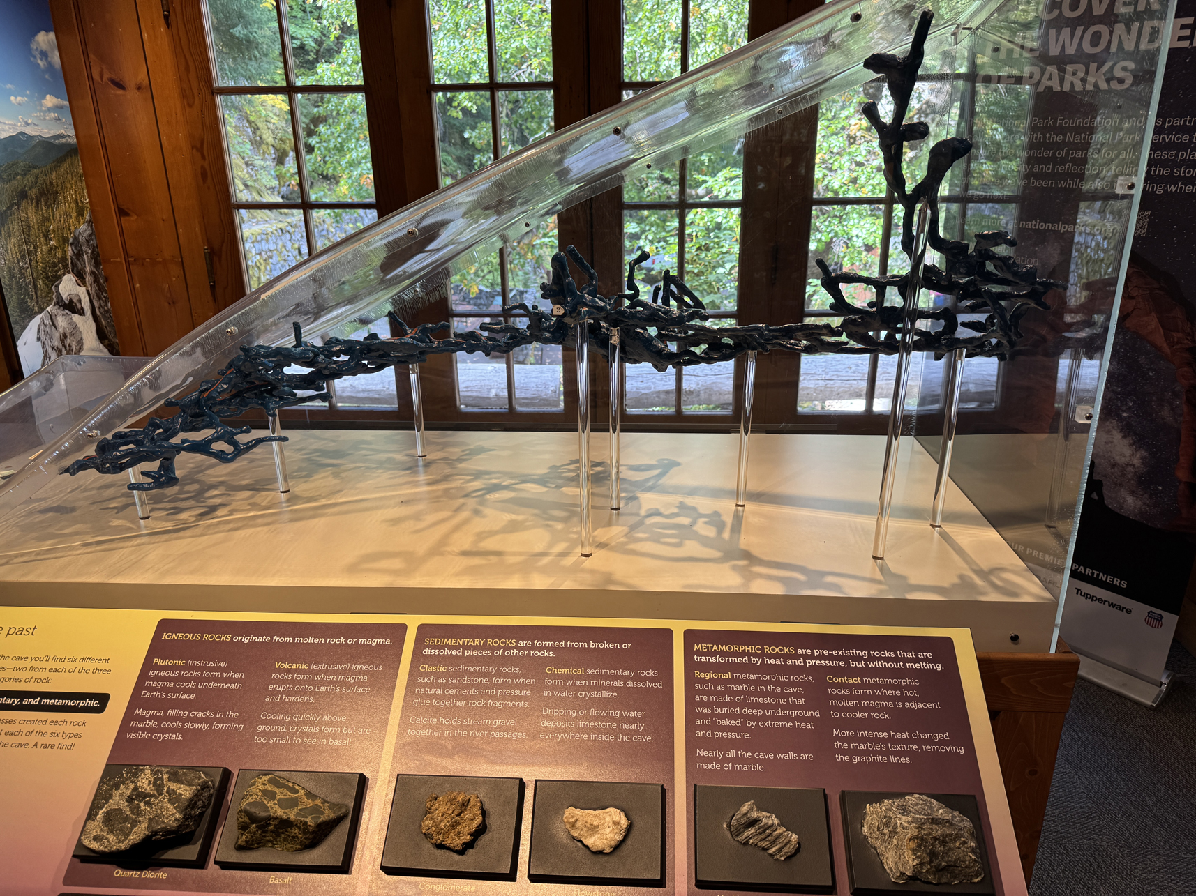
Model of the Oregon Caves stretch 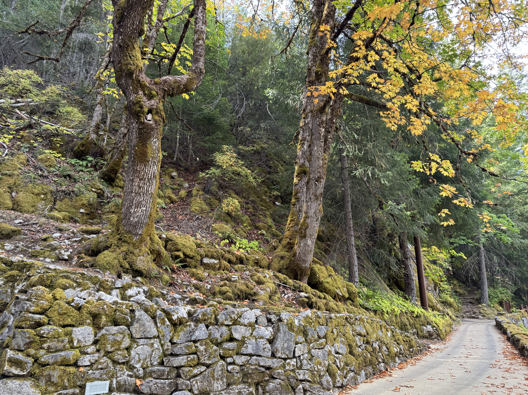
Looking around Oregon Caves site 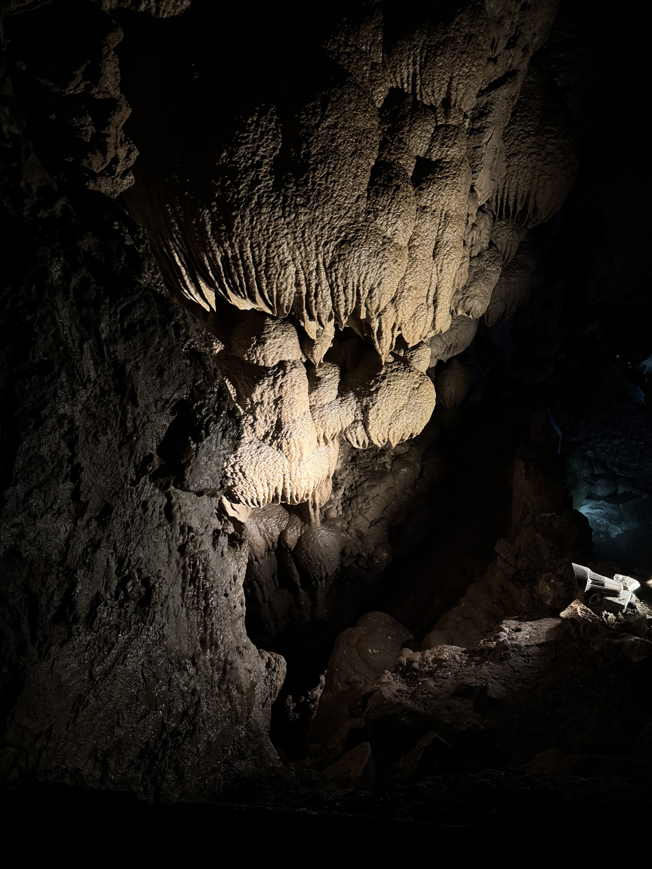
Formation inside Oregon Caves 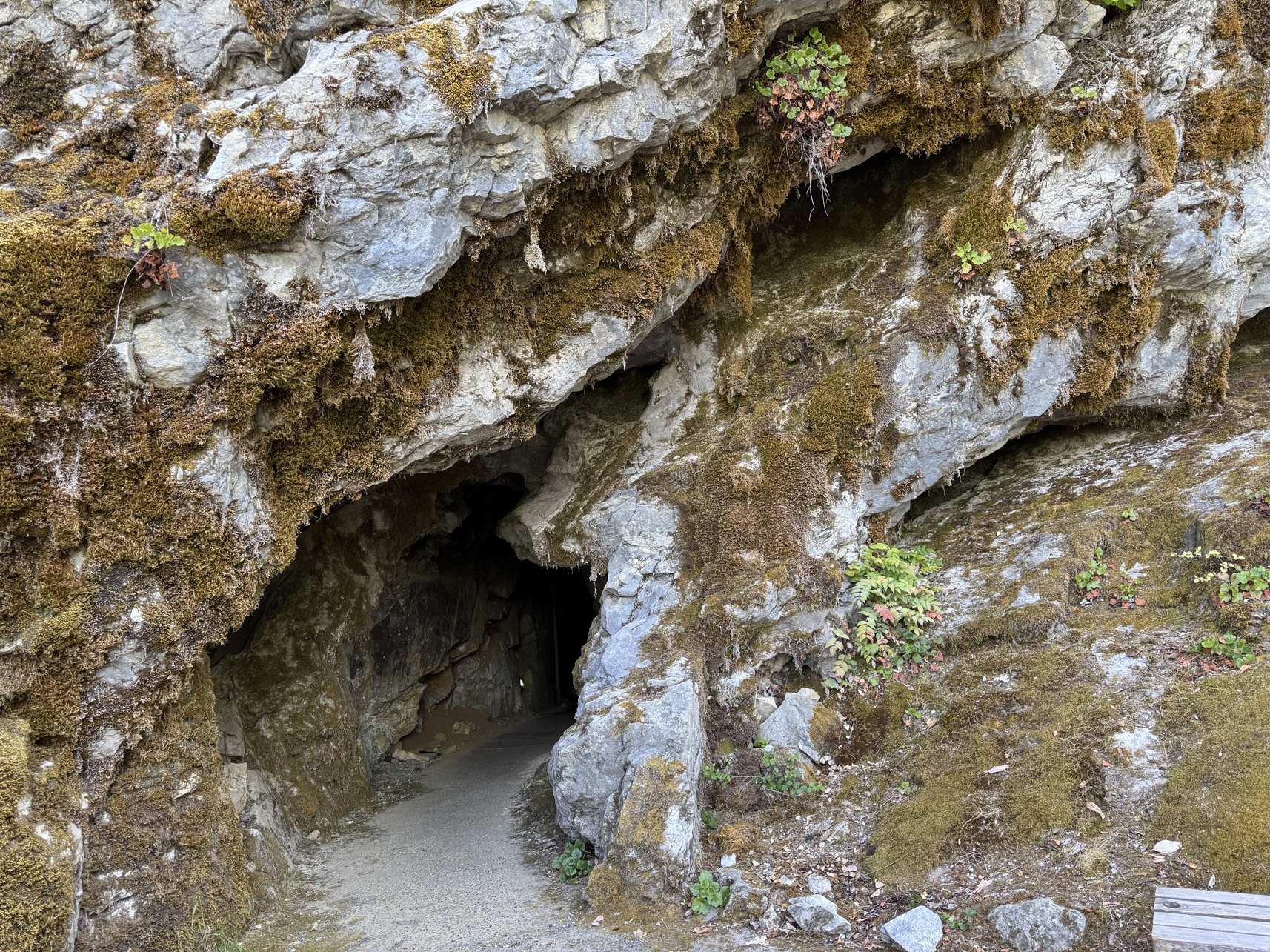
Exit of Oregon Caves 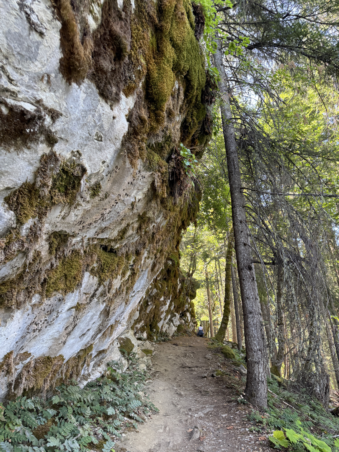
Walking along Cliff Nature Trail 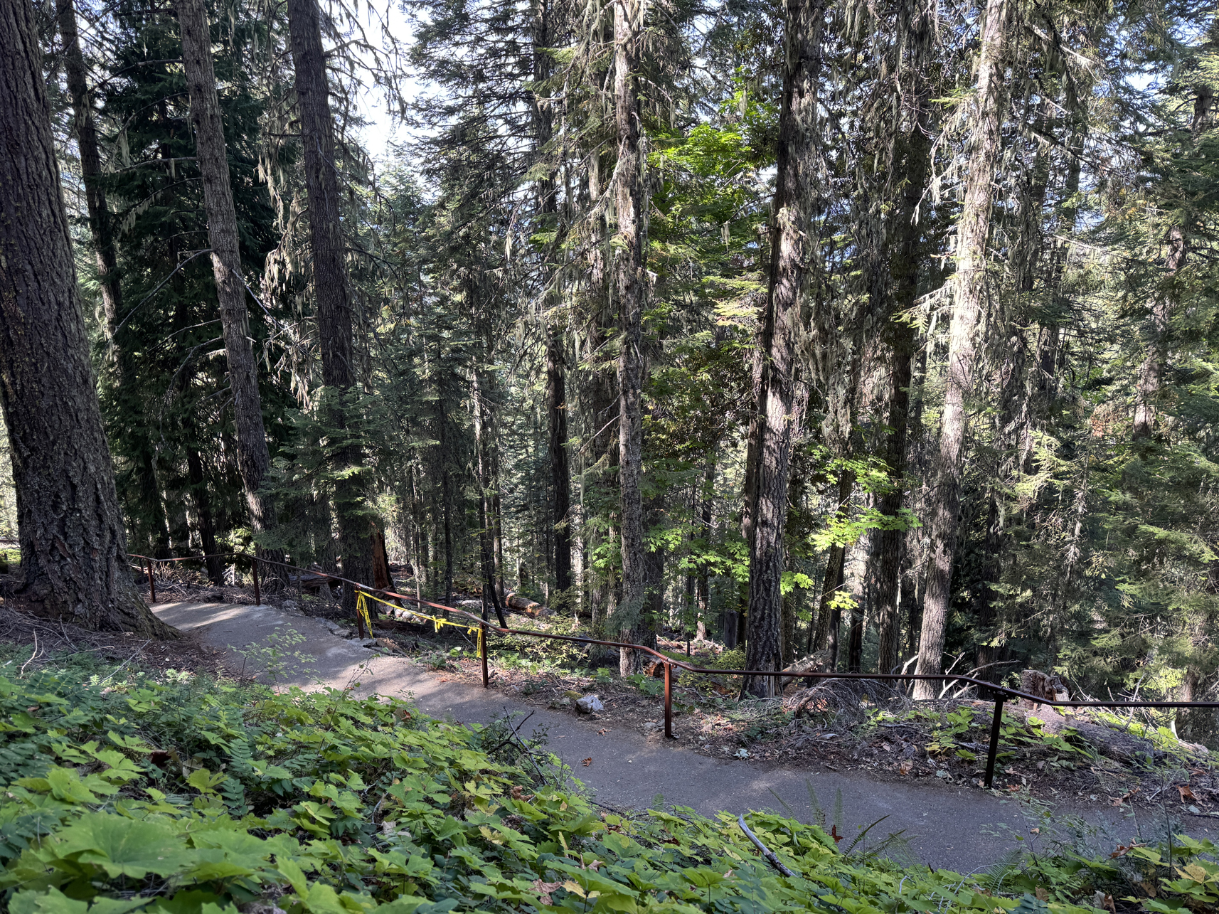
Walking along Cliff Nature Trail 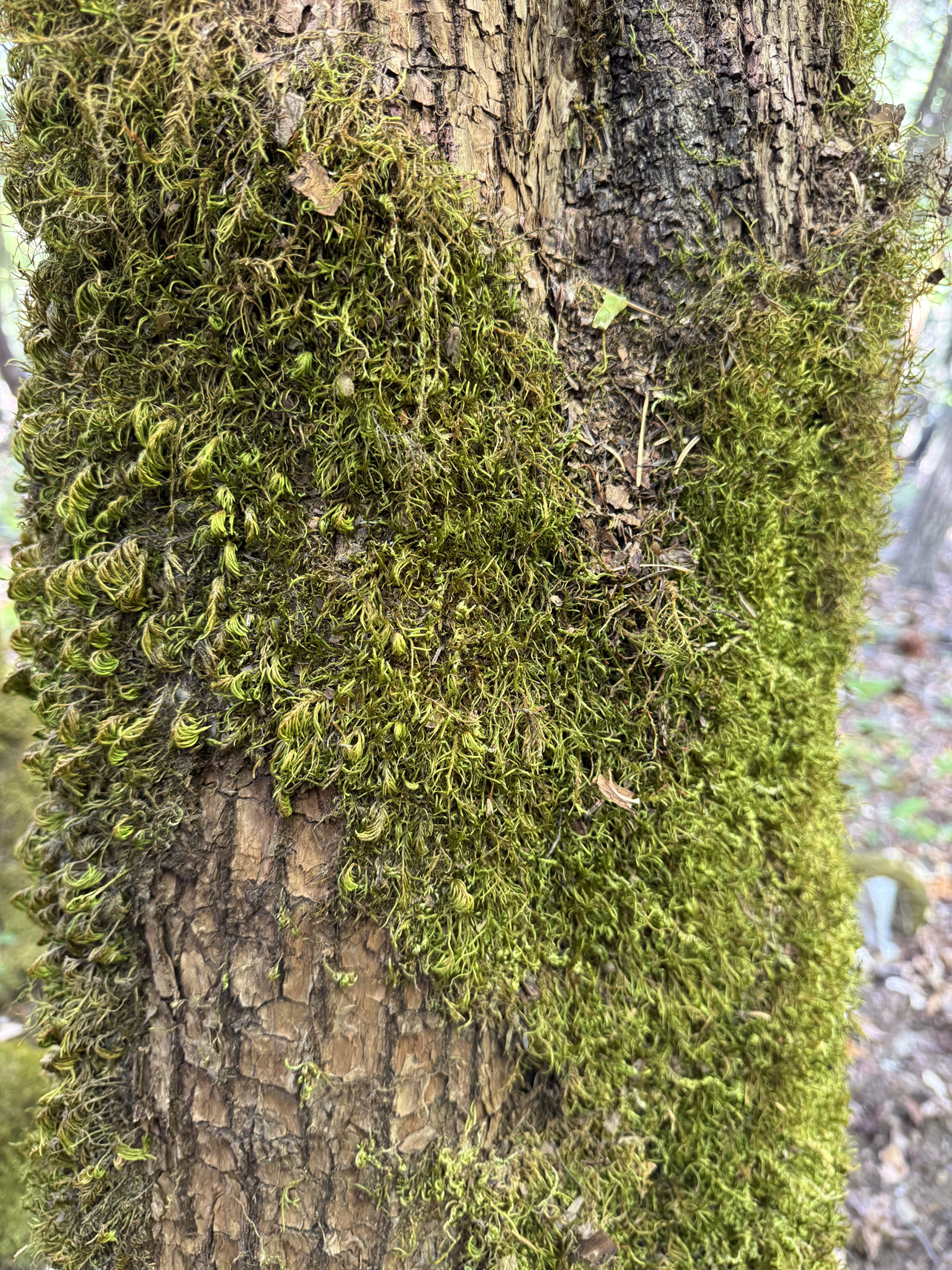
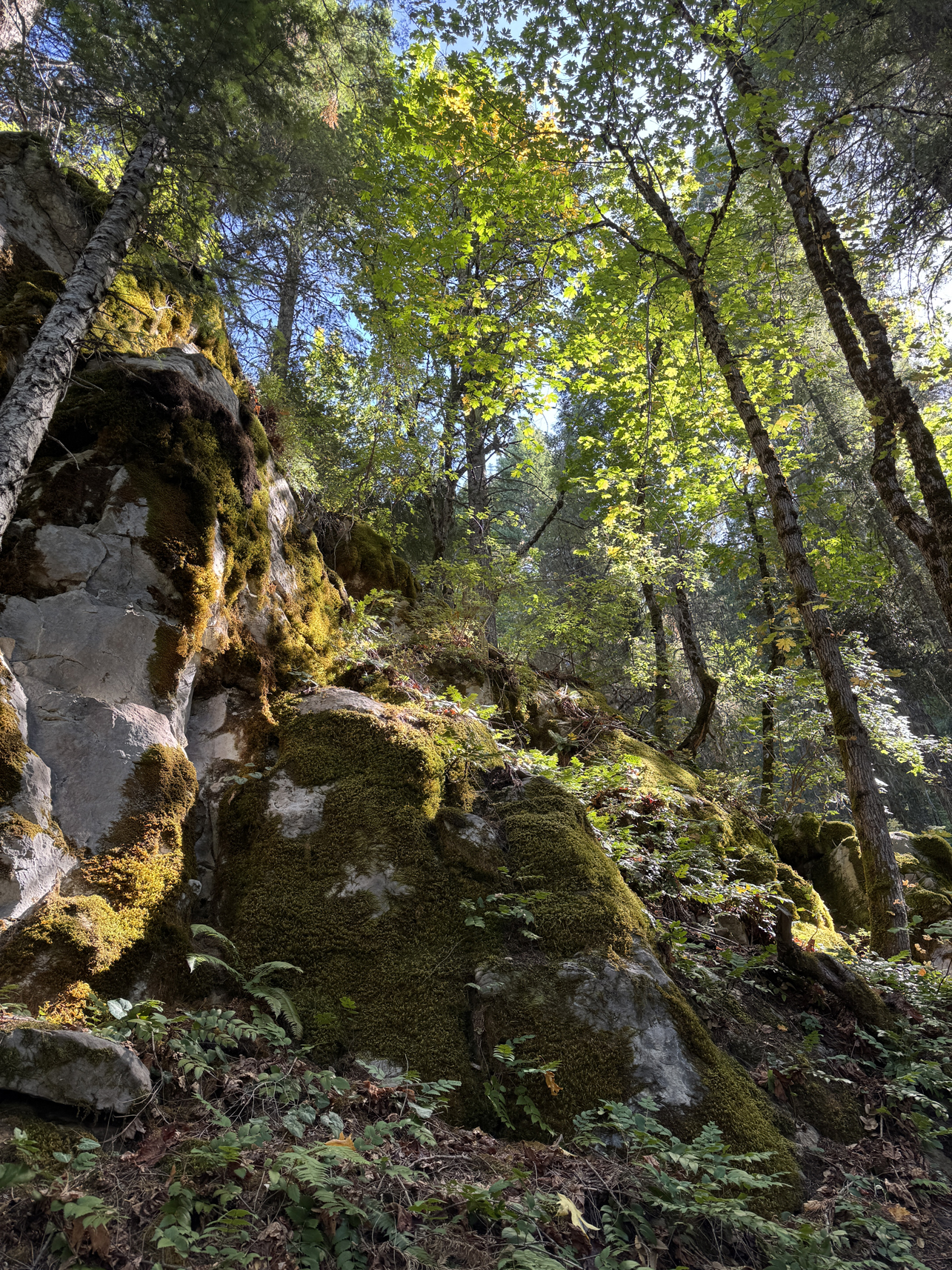
Walking along Cliff Nature Trail 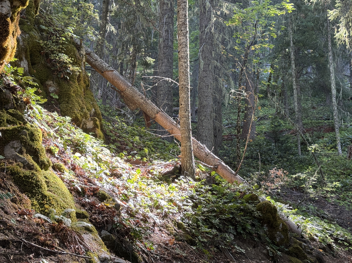
Walking along Cliff Nature Trail 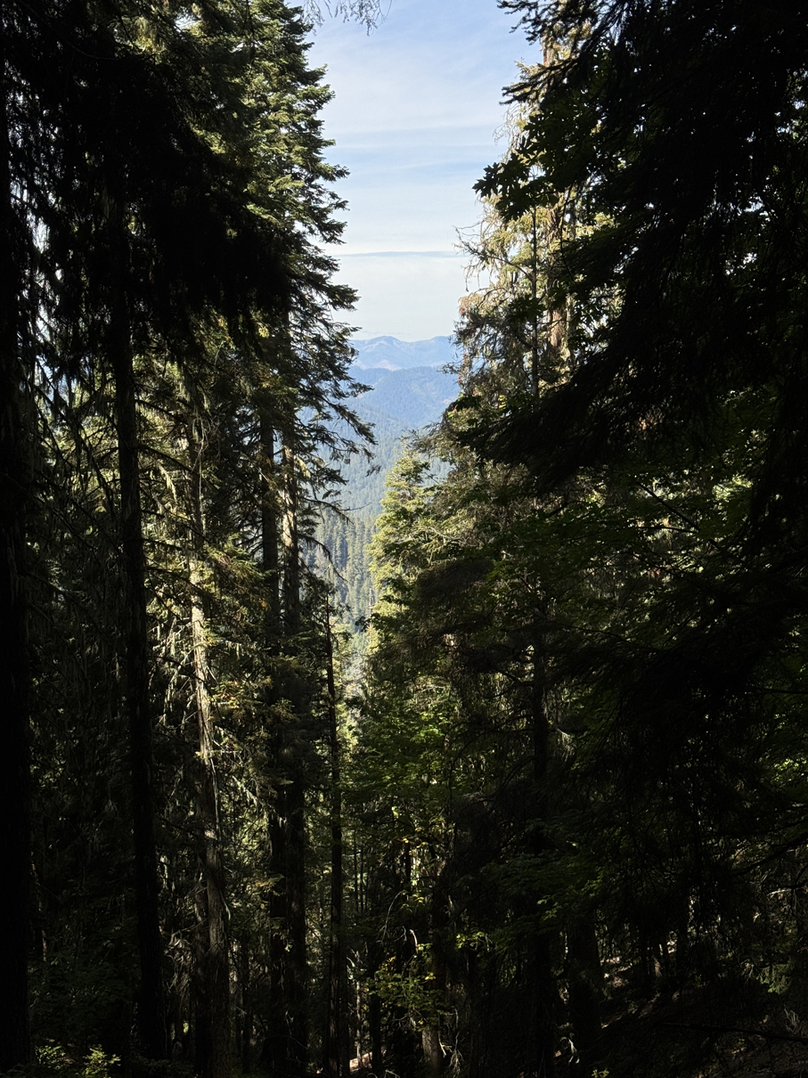
Walking along Cliff Nature Trail, looking North 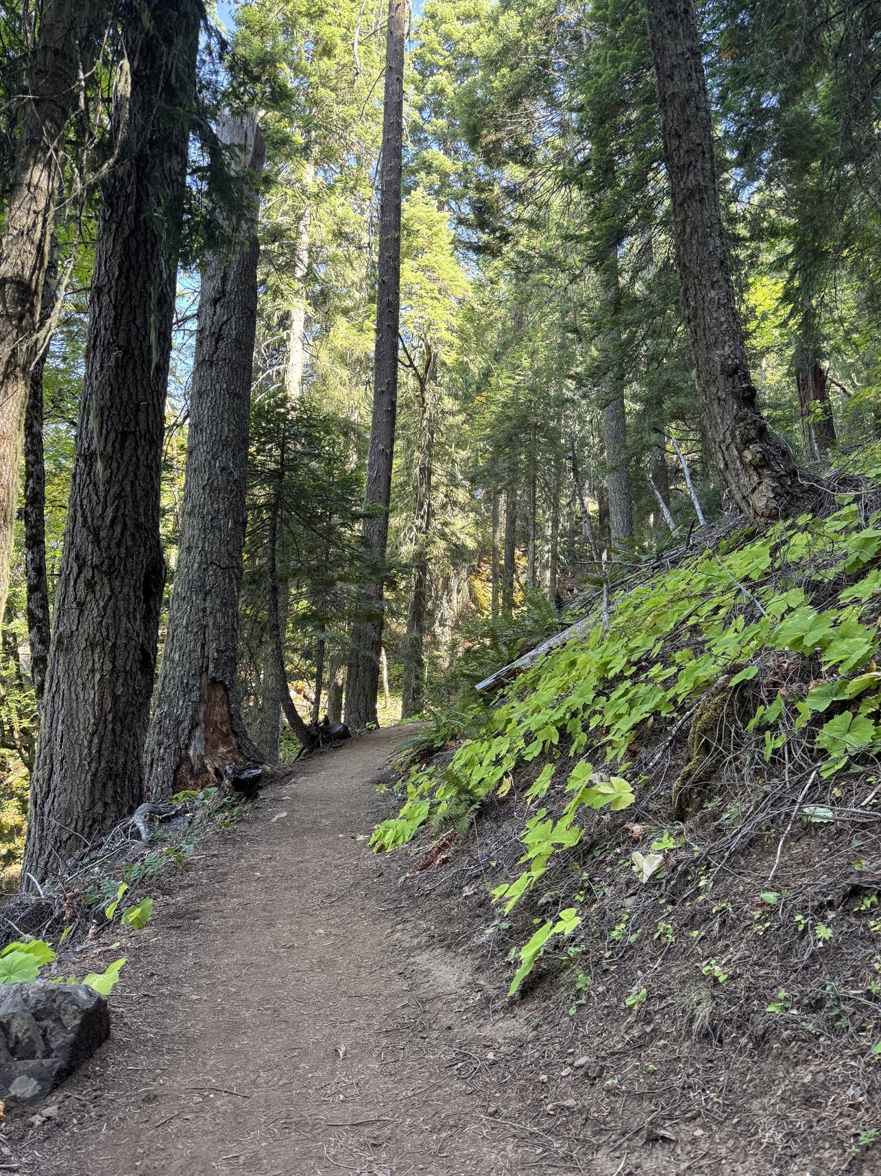
Walking along Cliff Nature Trail 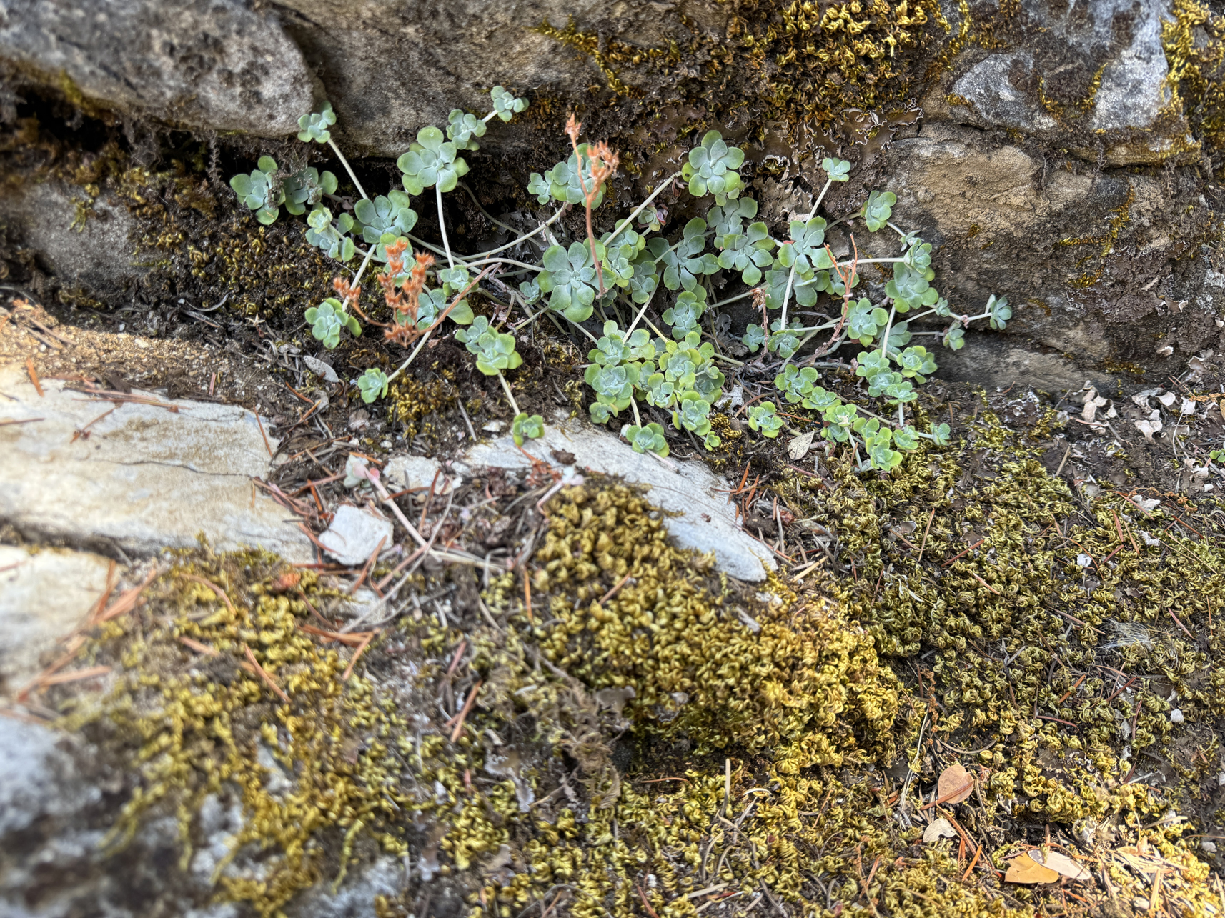
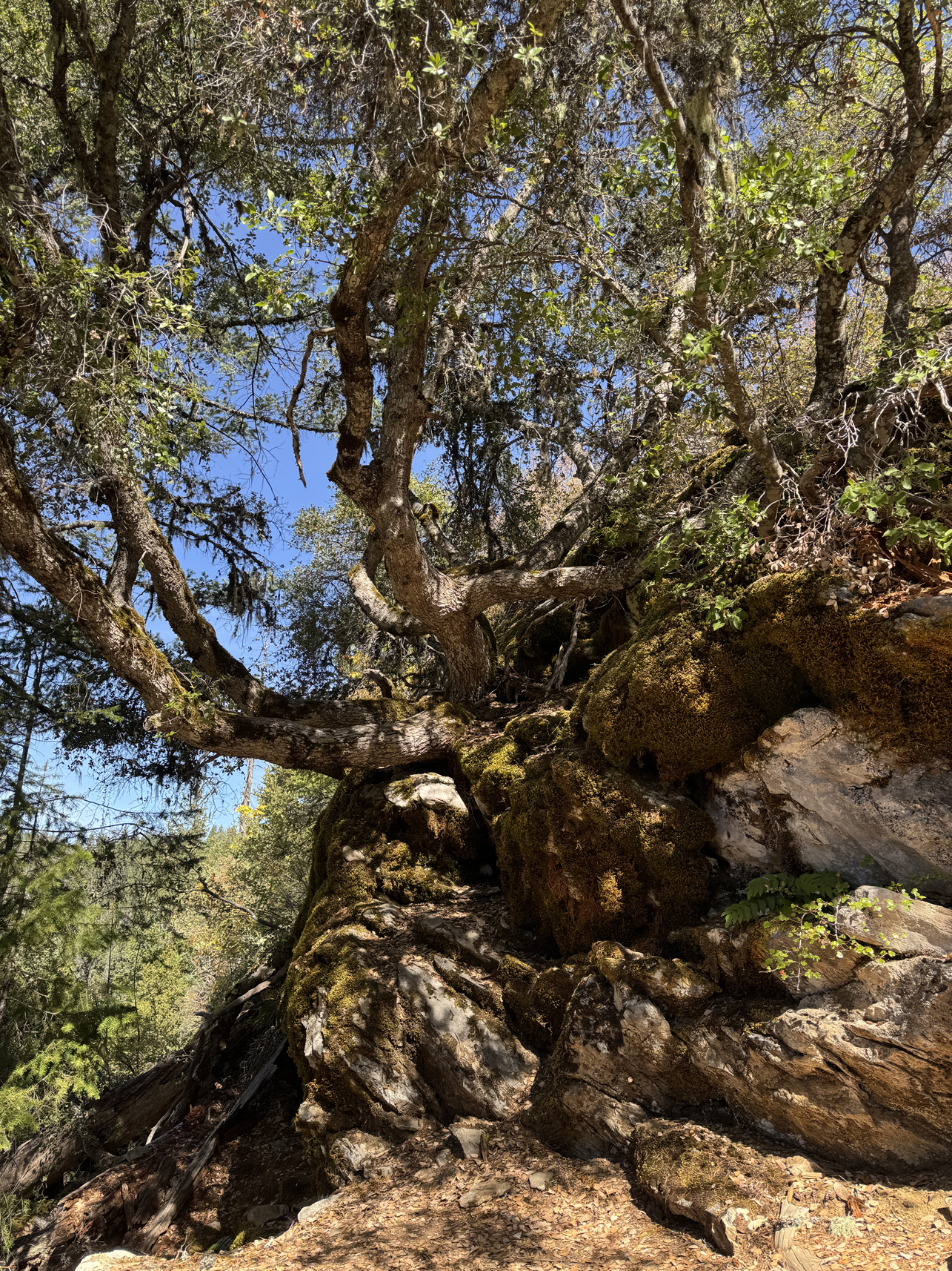
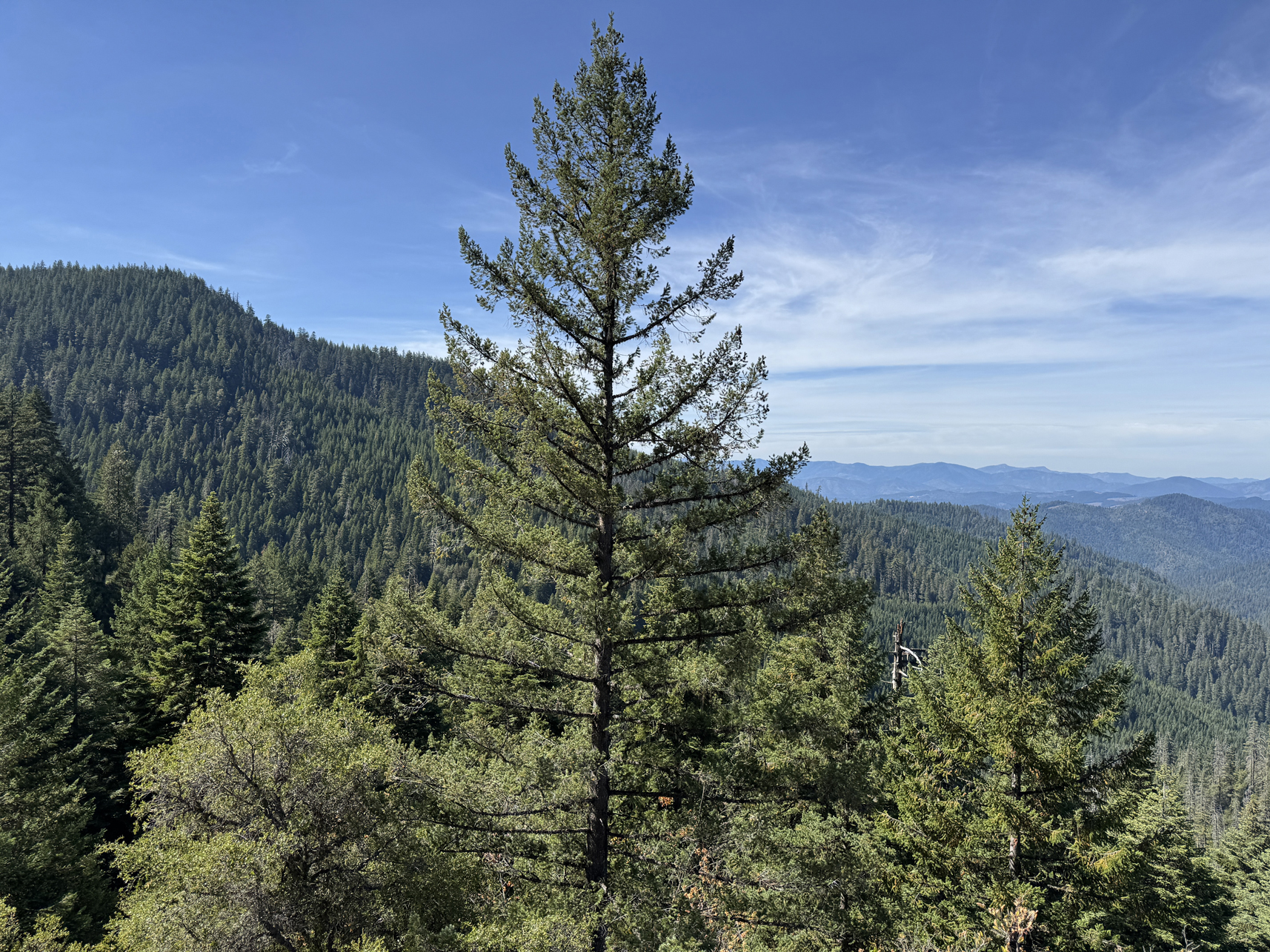
Walking along Cliff Nature Trail, facing West 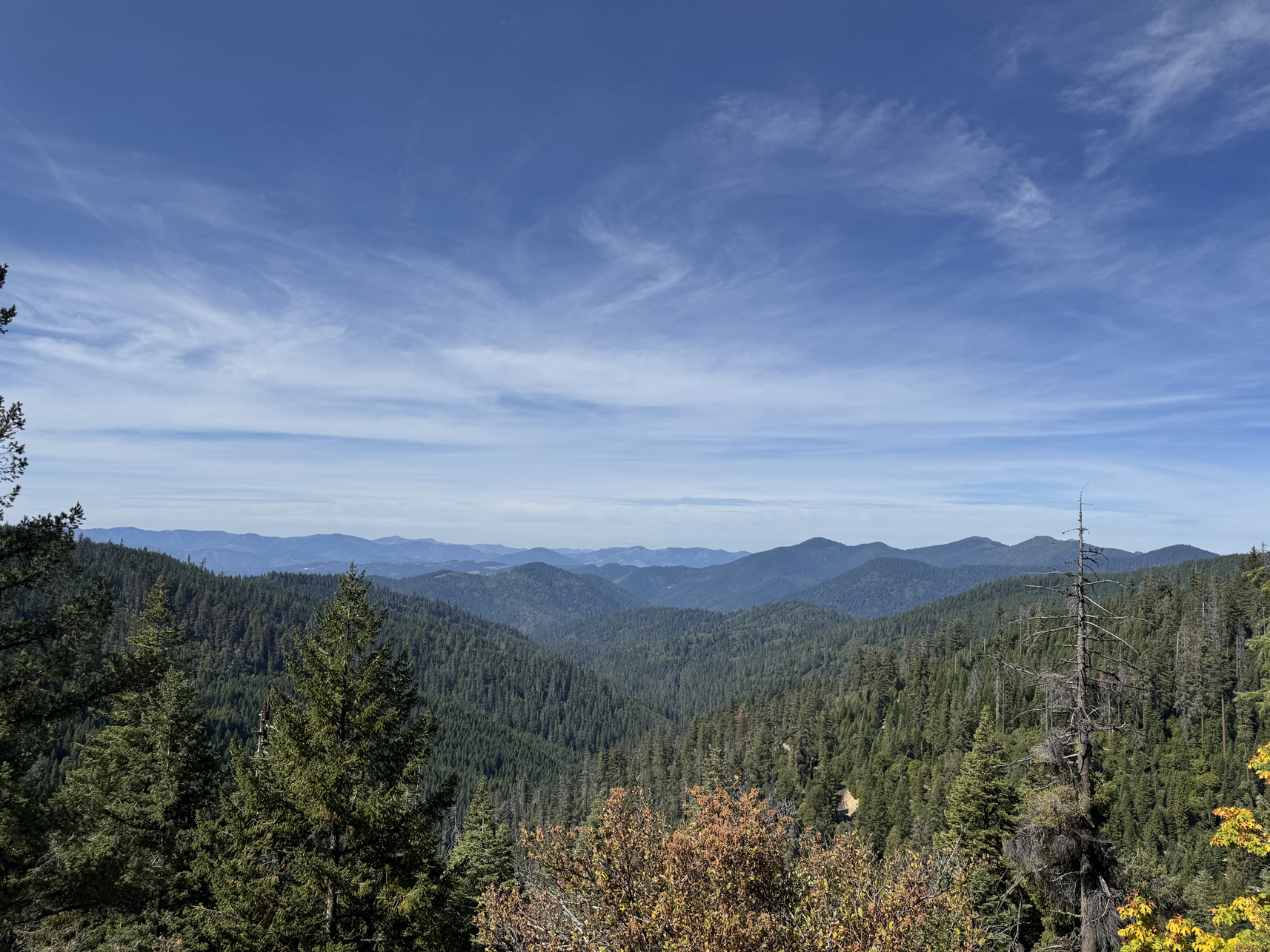
Walking along Cliff Nature Trail, facing North 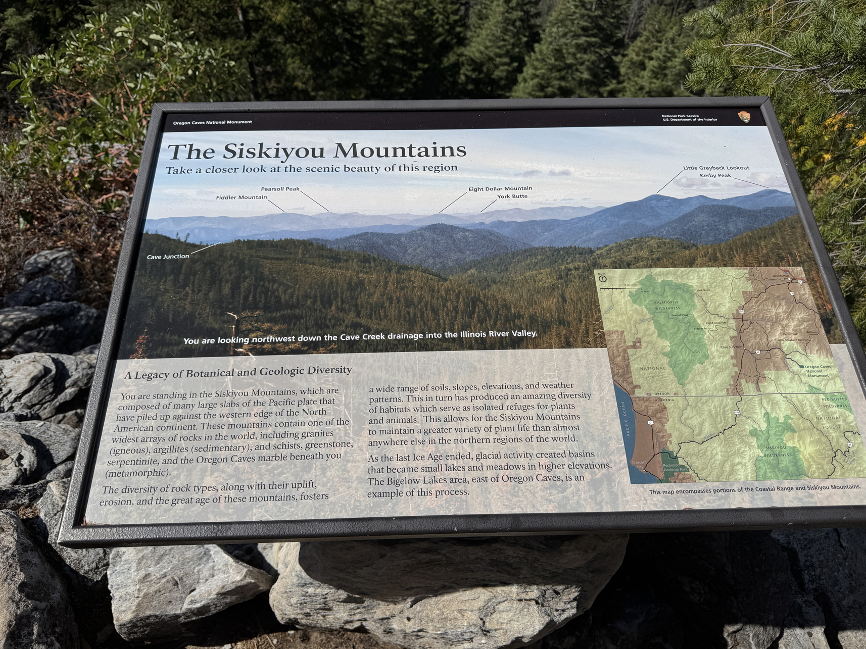
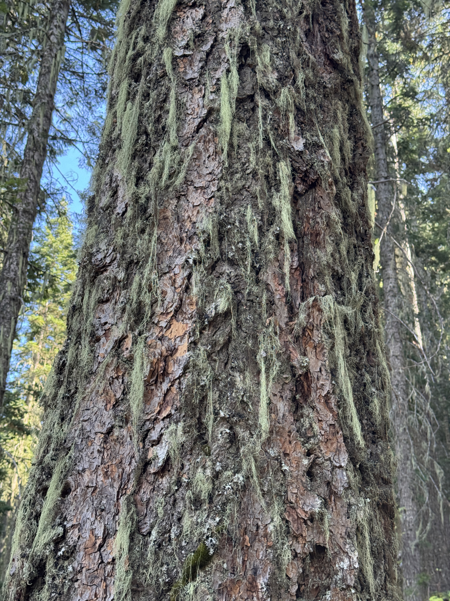
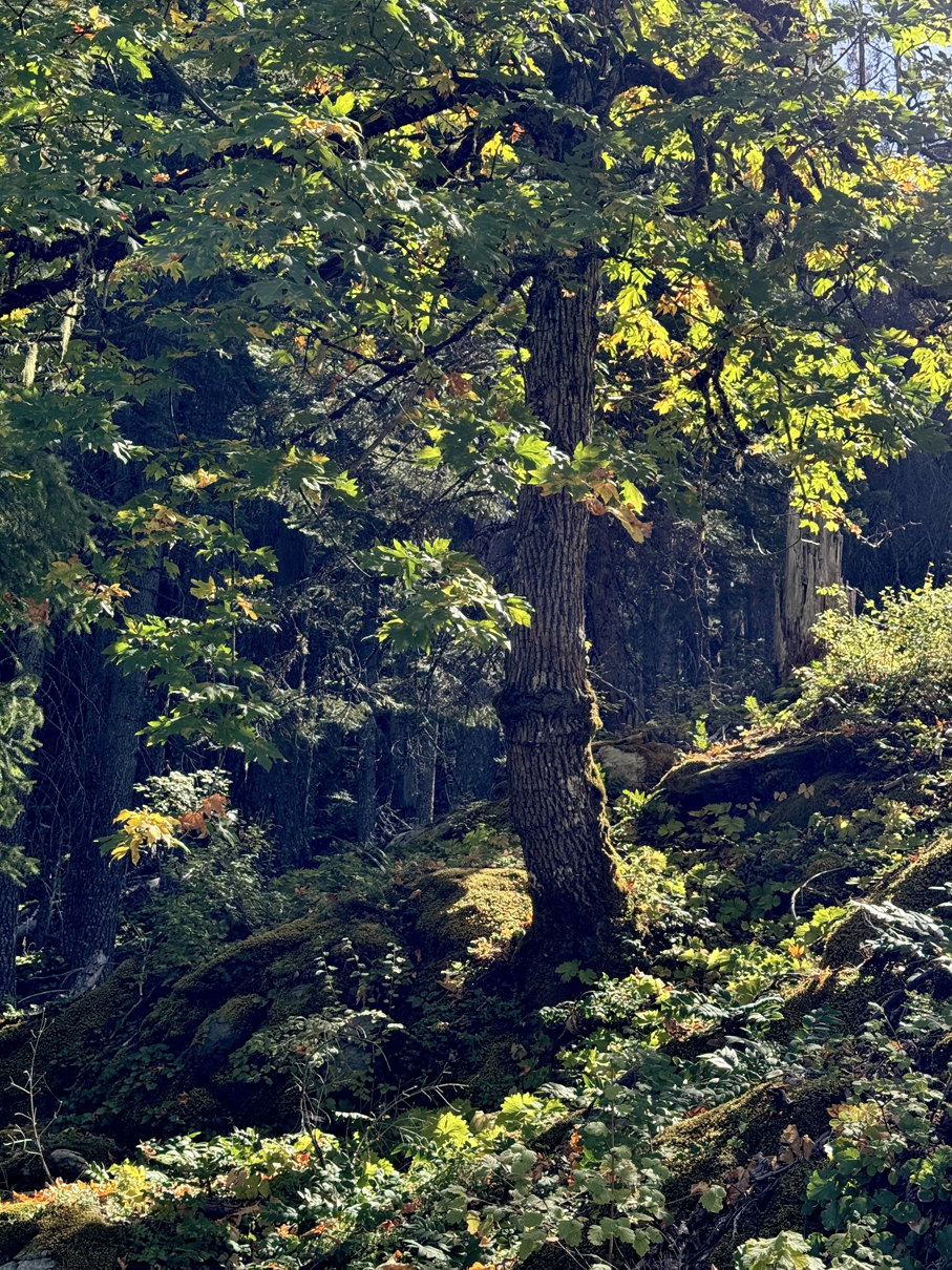
Walking along Cliff Nature Trail 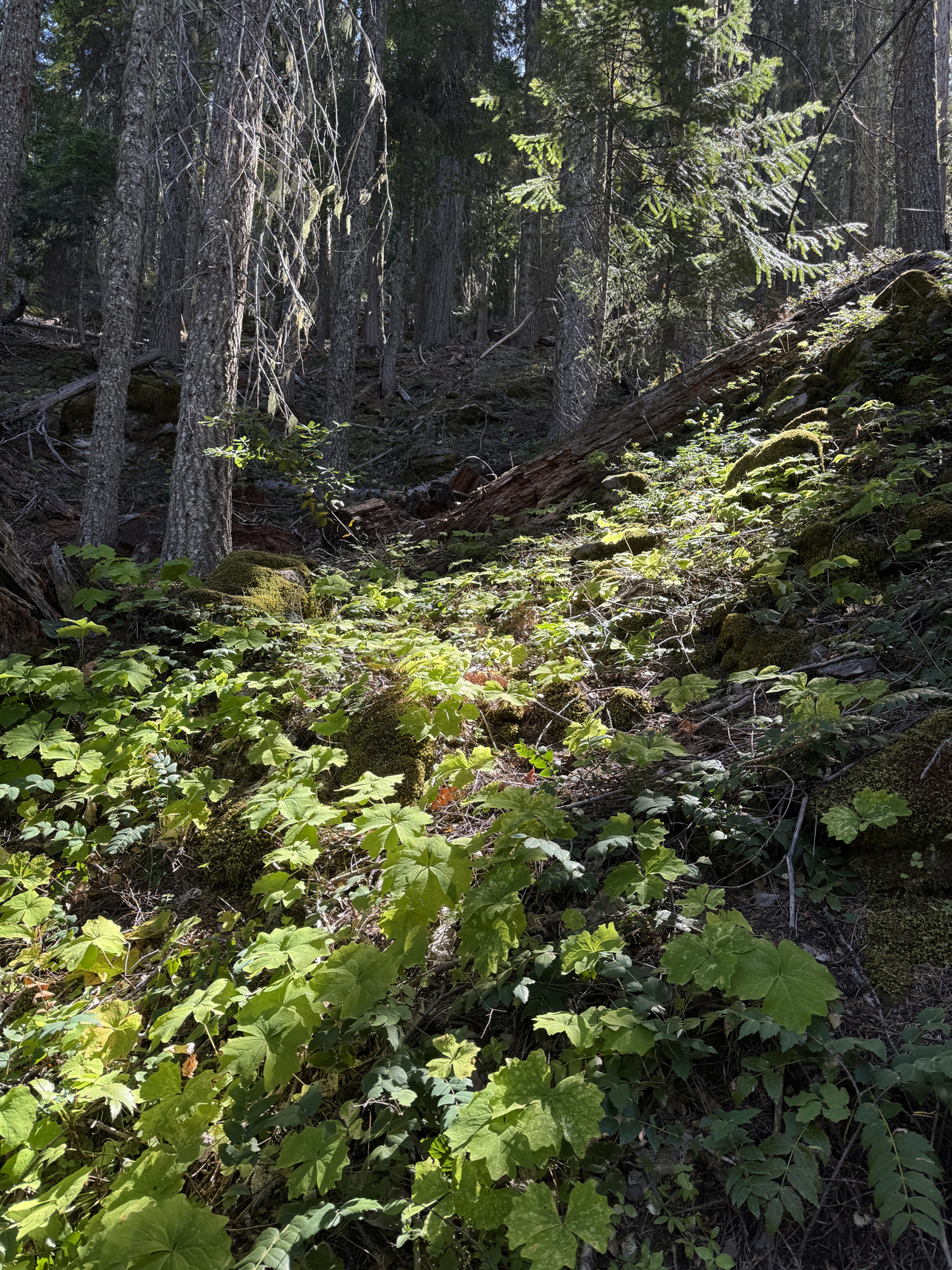
Walking along Cliff Nature Trail 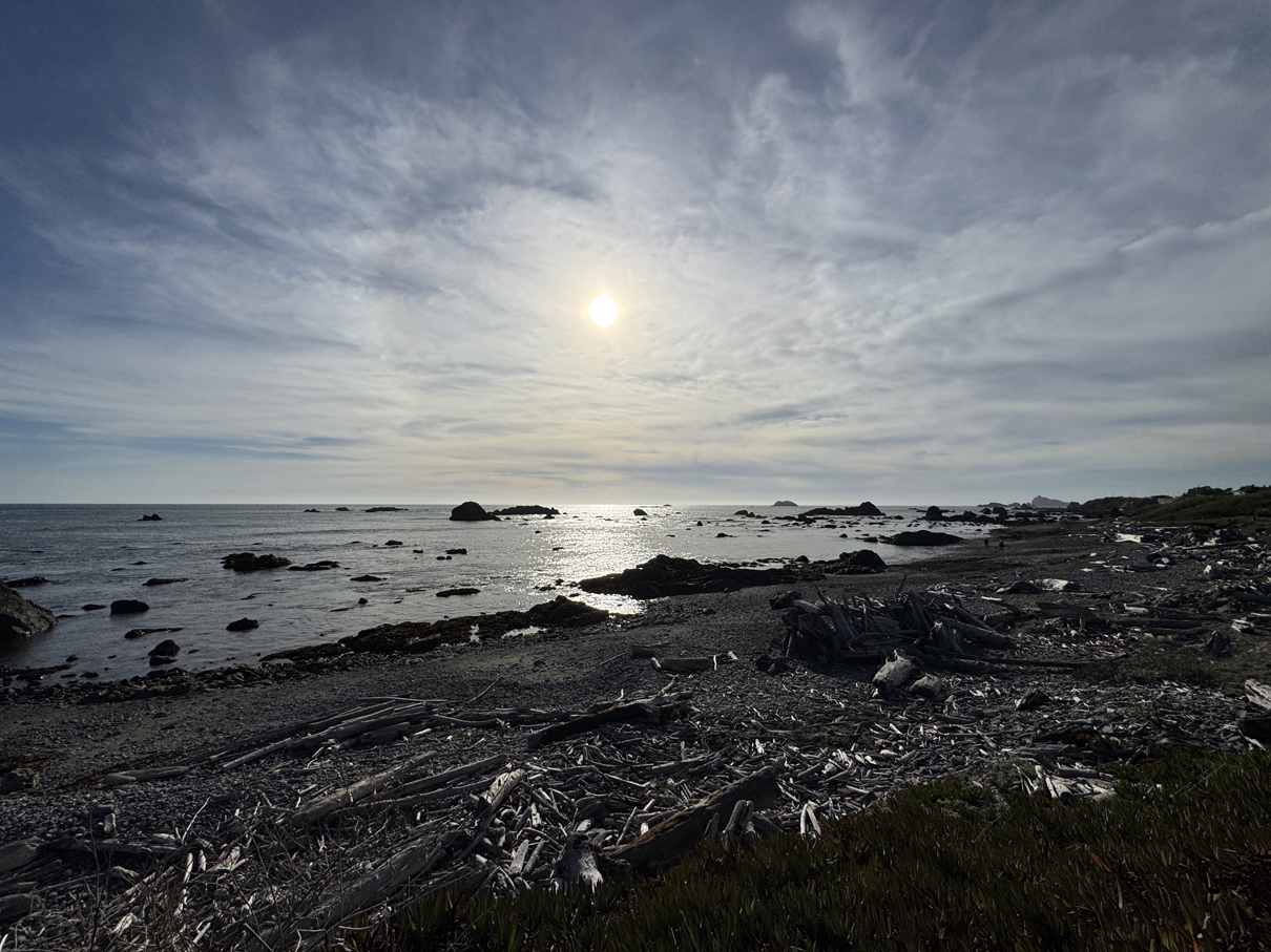
Beach west of Crescent City 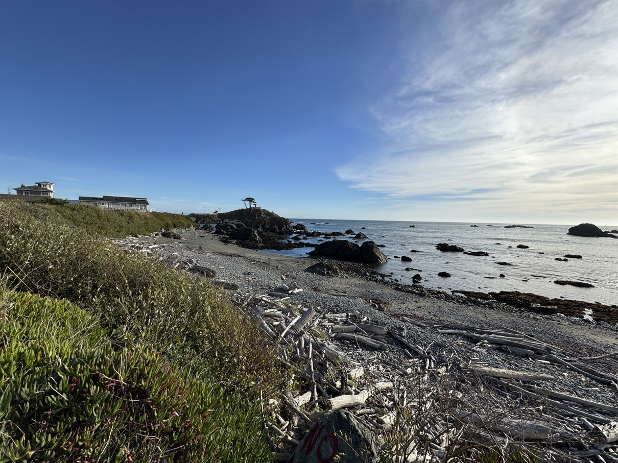
Beach west of Crescent City, facing southwest toward Battery Point 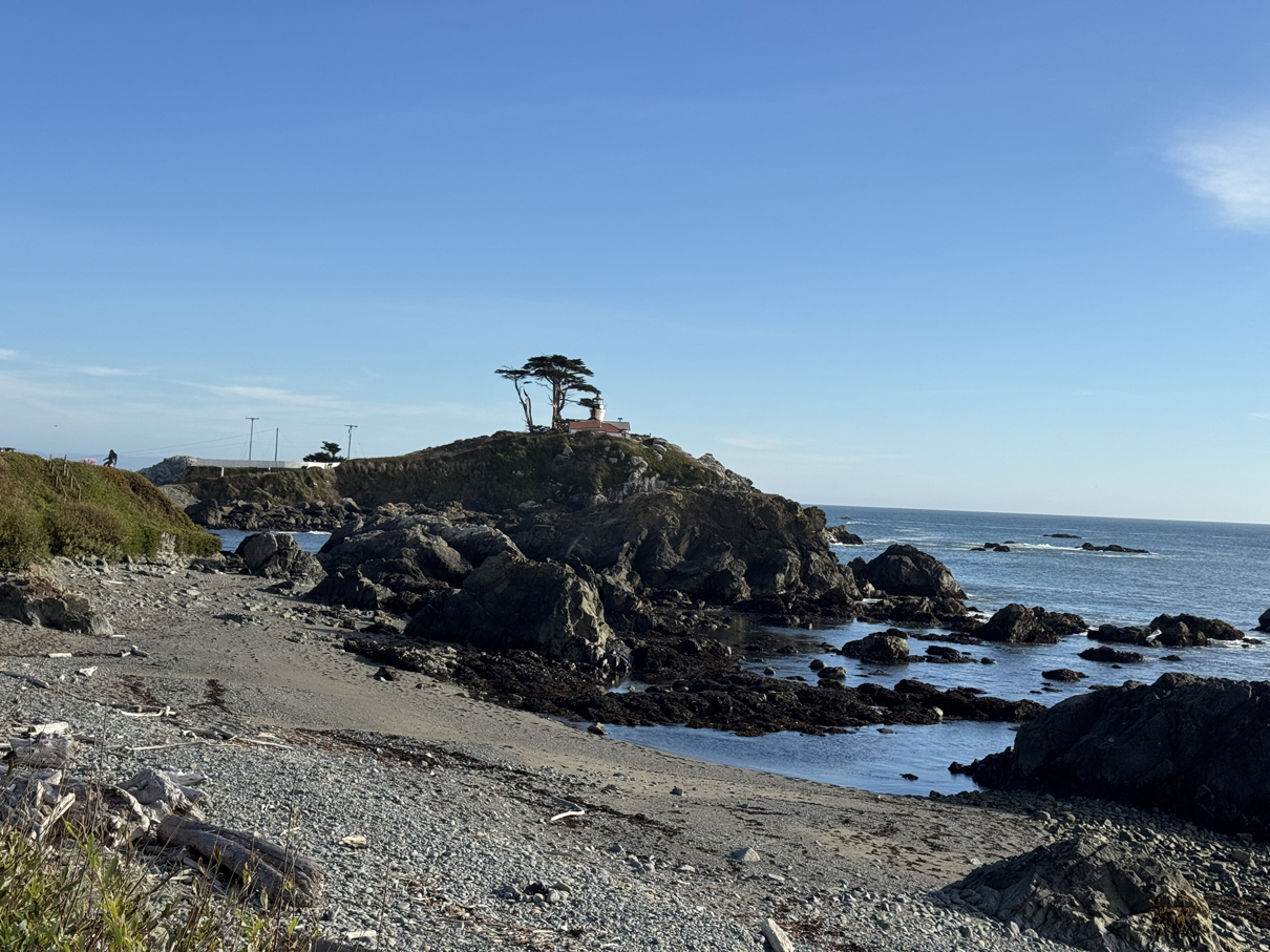
Battery Point Lighthouse 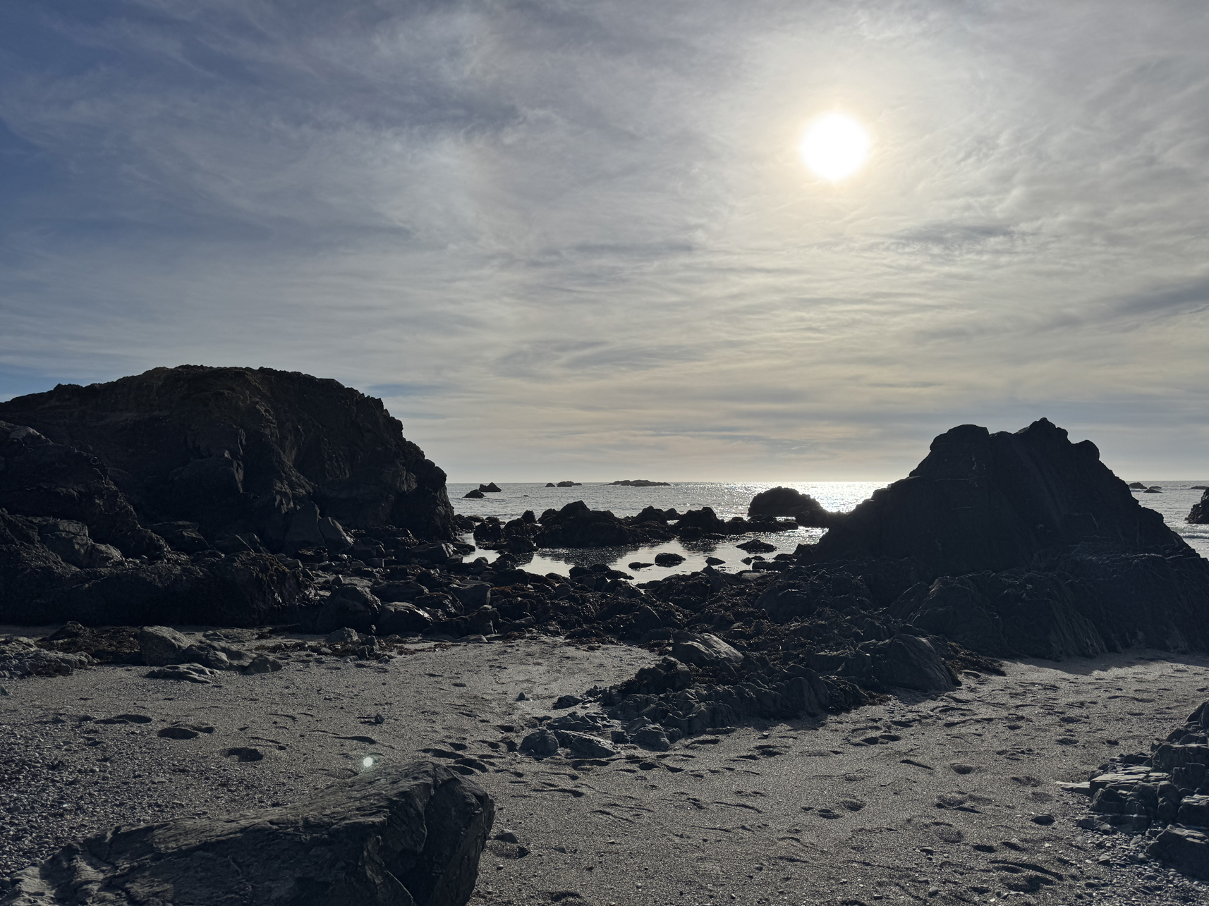
Beach west of Crescent City, facing West 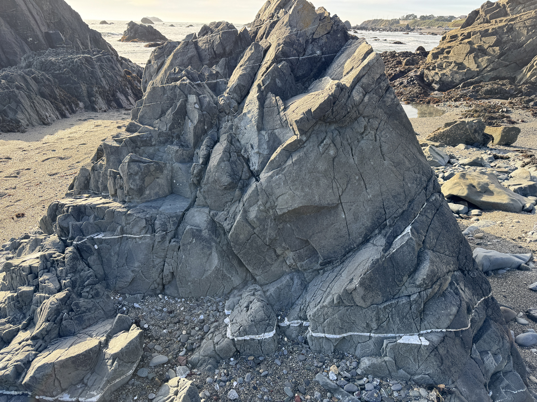
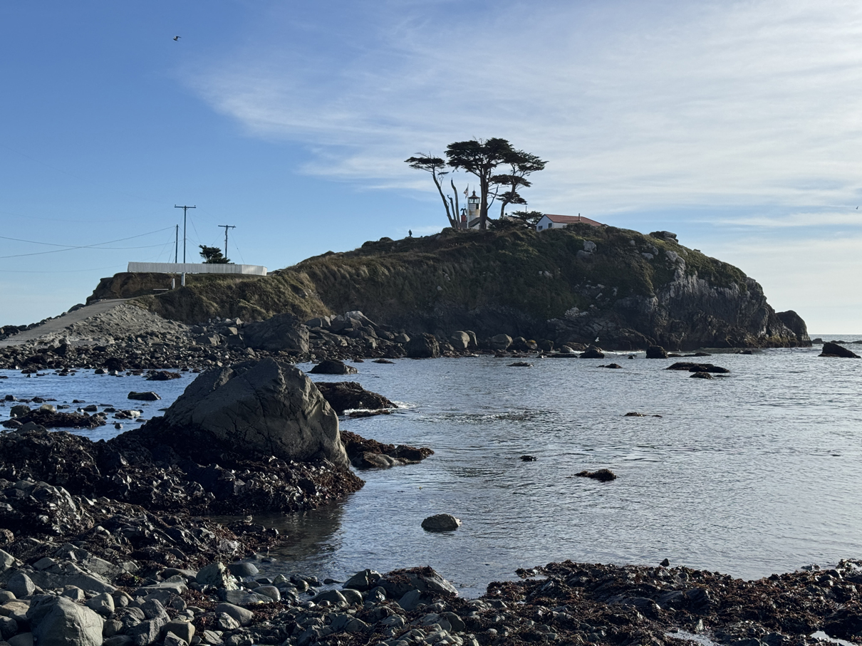
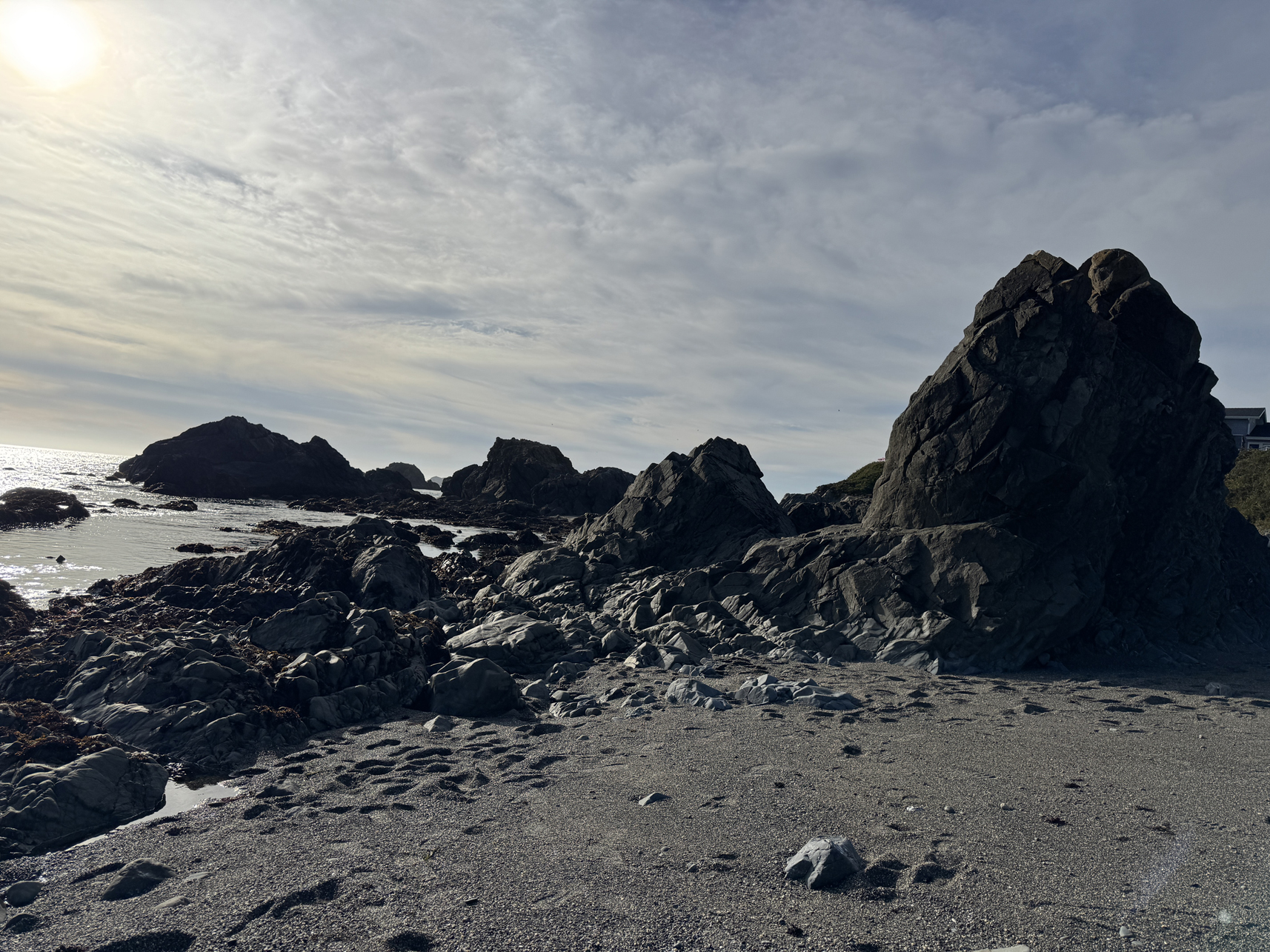
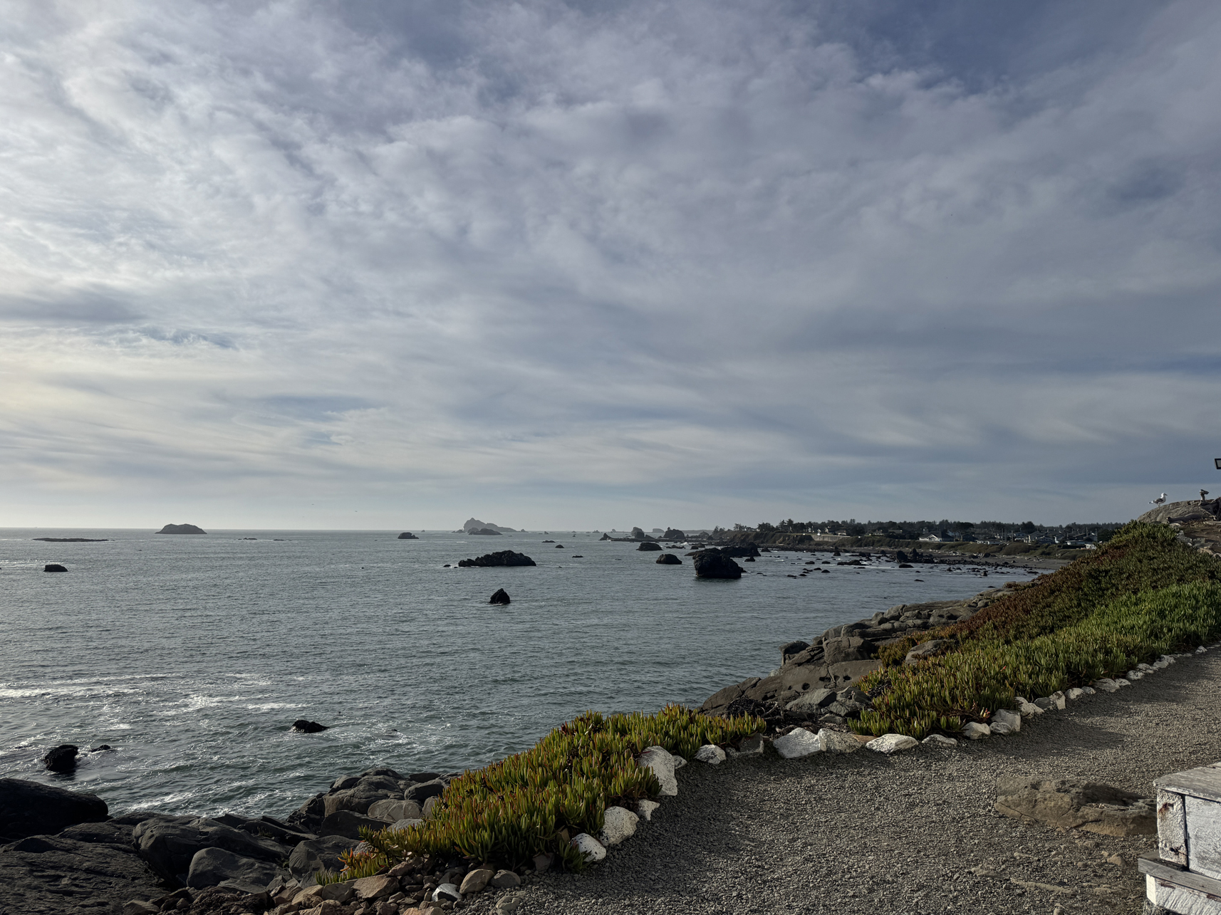
View from northside of Battery Point, looking north 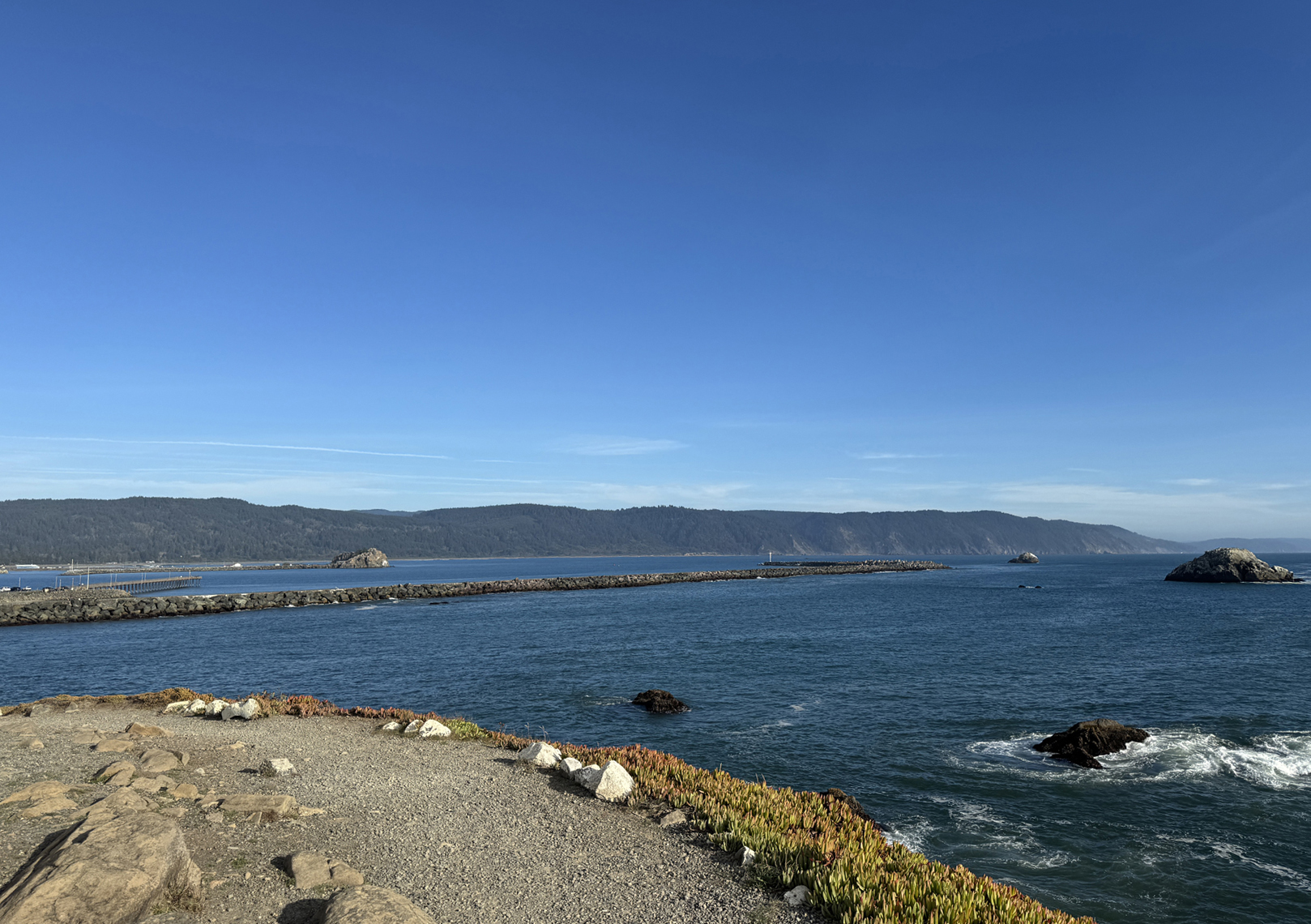
View from Battery Point, looking south 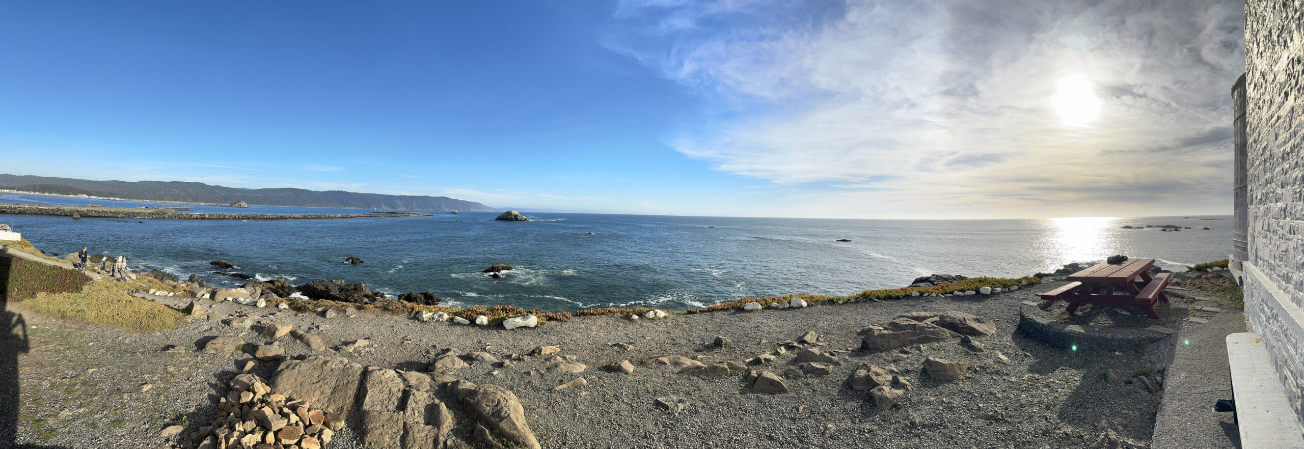
Panoramic view from Battery Point, facing west 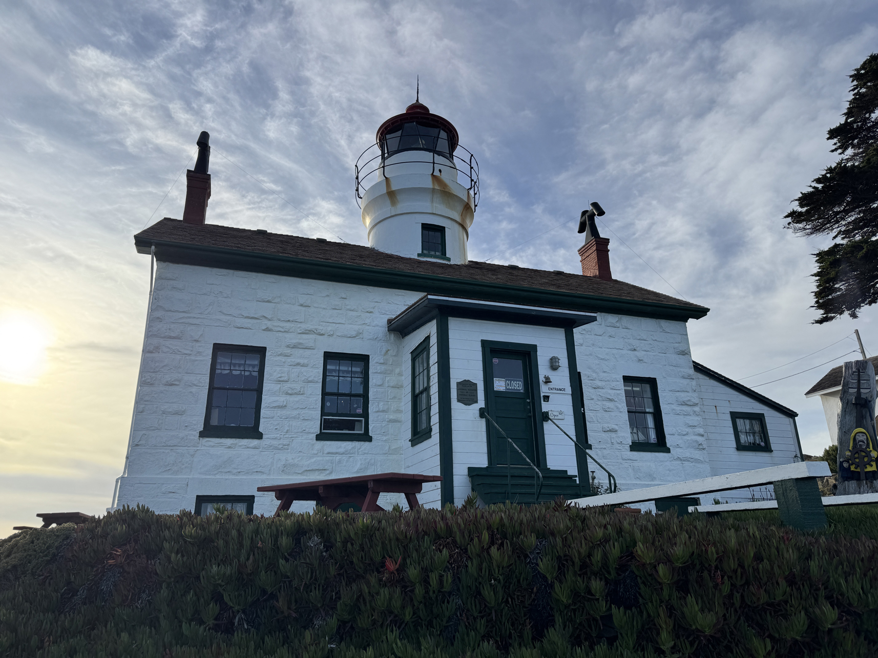
Battery Point lighthouse 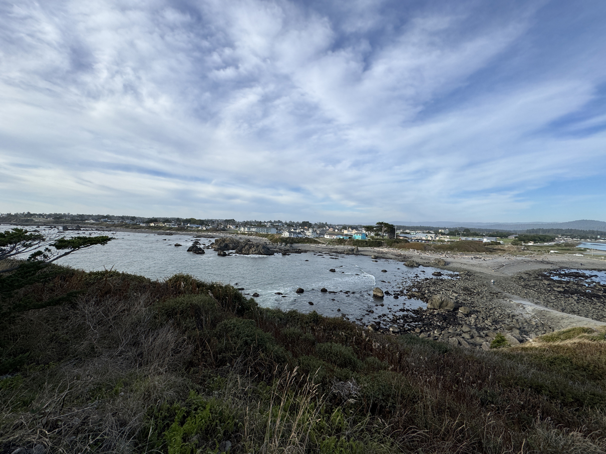
View from Battery Point, looking at Crescent City 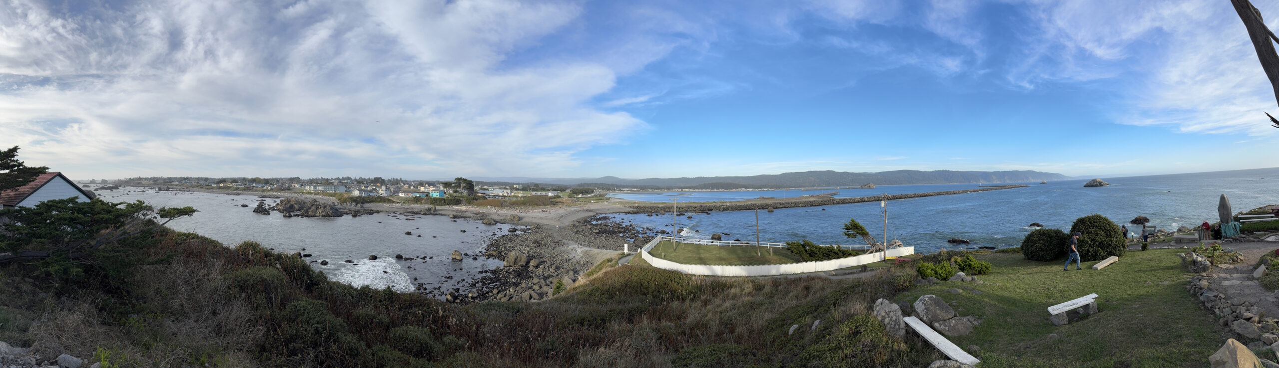
Panorama of Crescent City from Battery Lighthouse 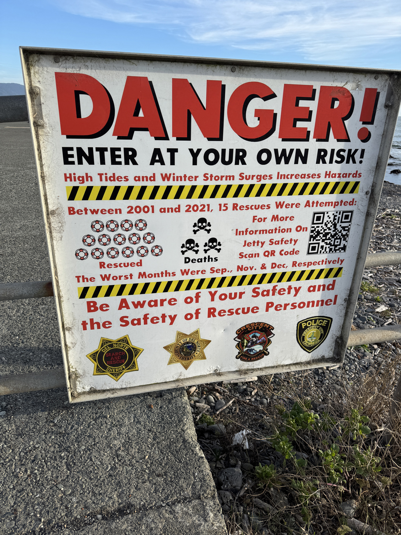
Sign outside a jetty in Crescent City 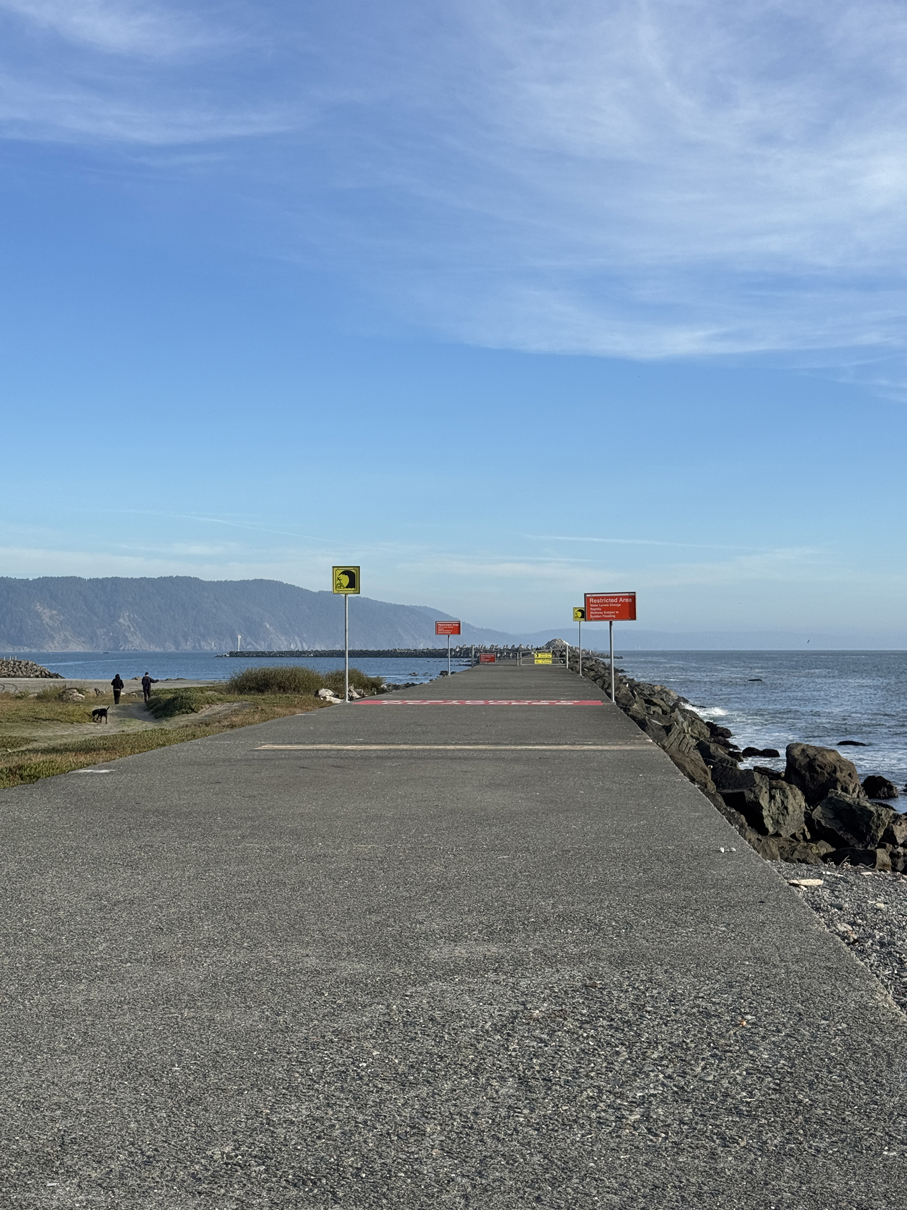
Danger Jetty 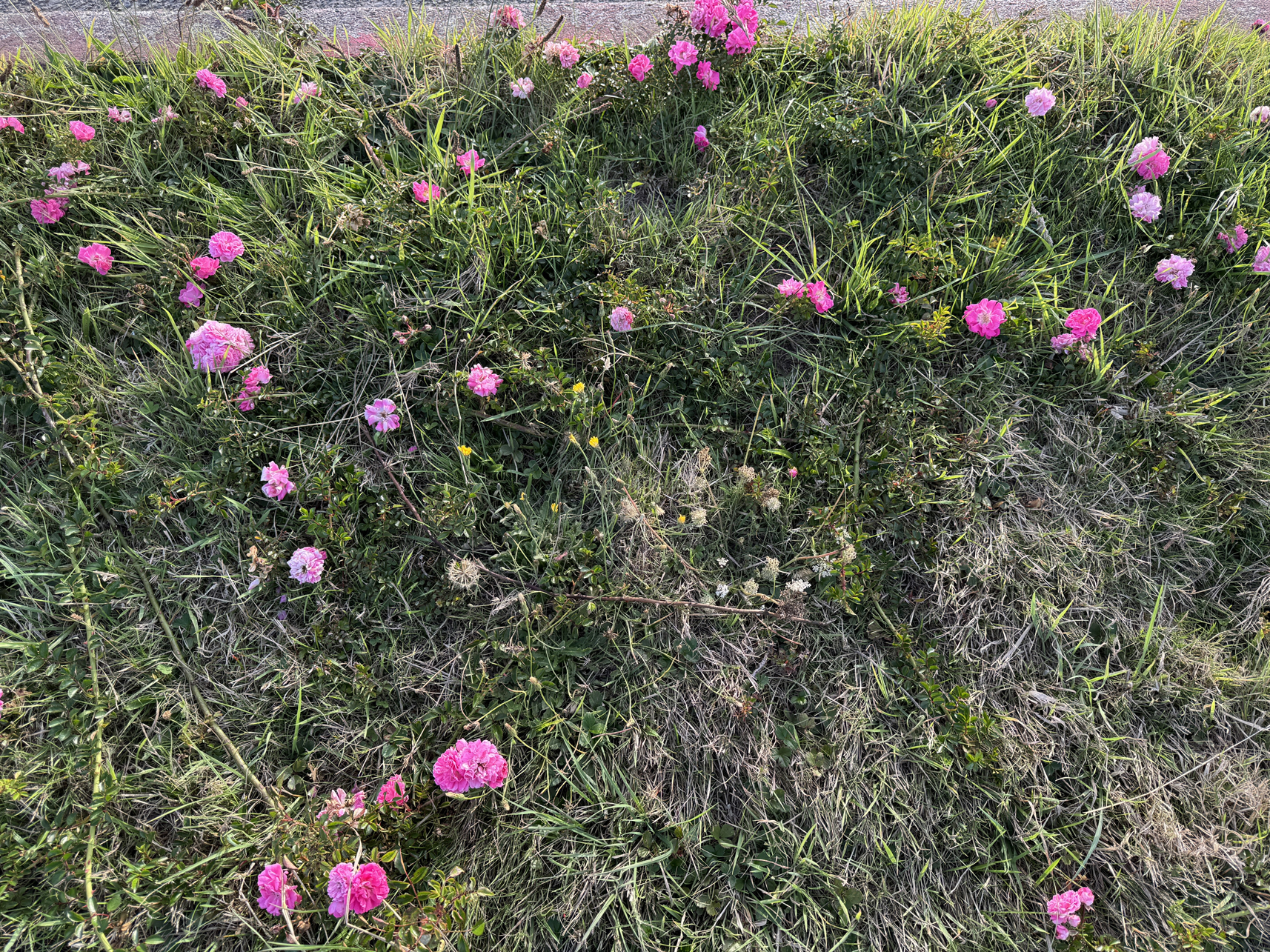
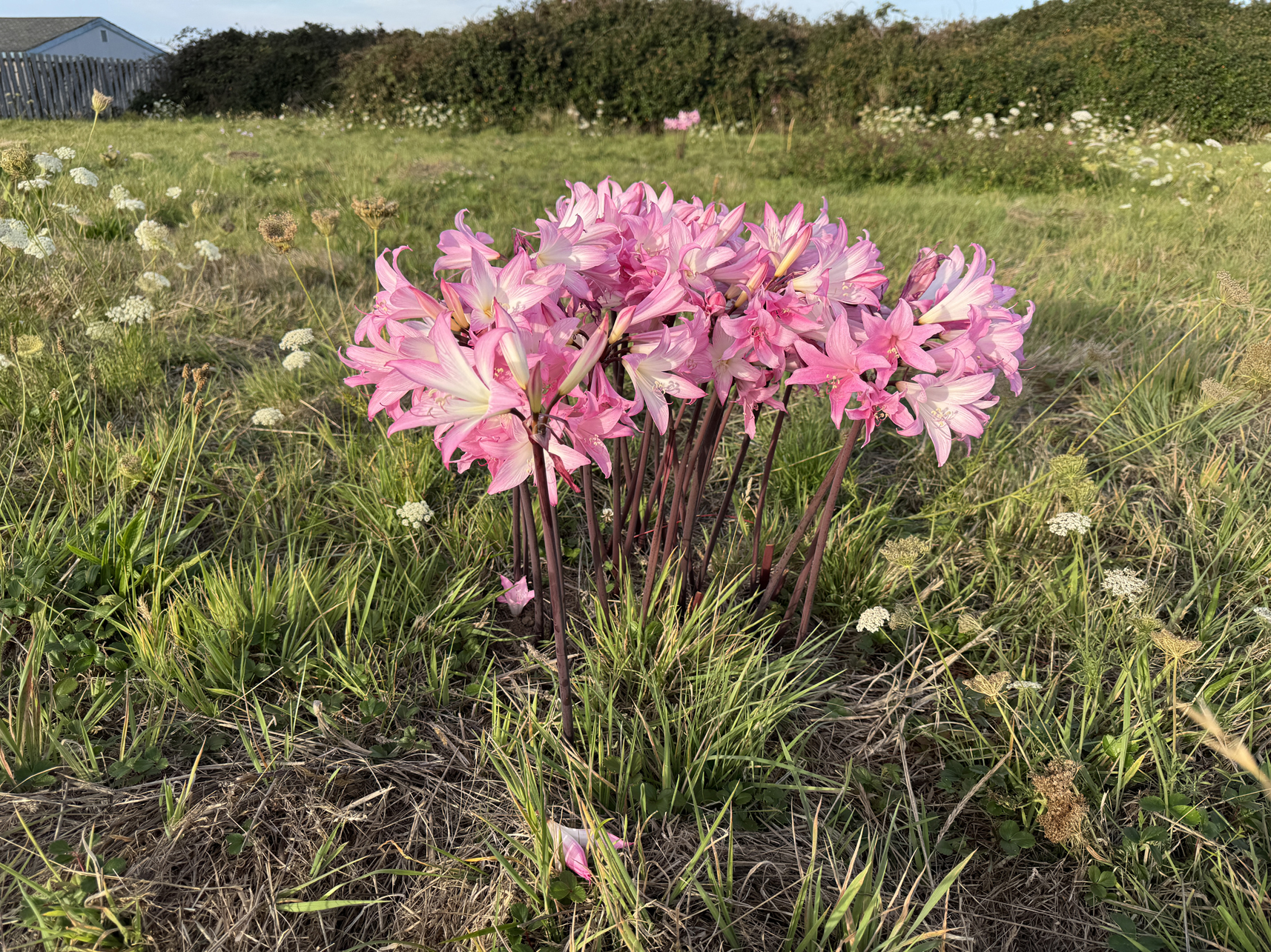
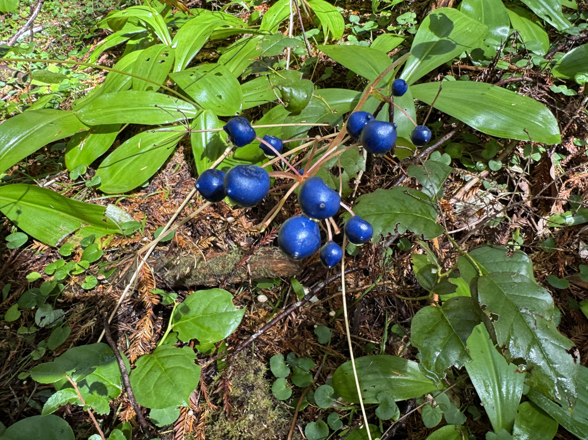
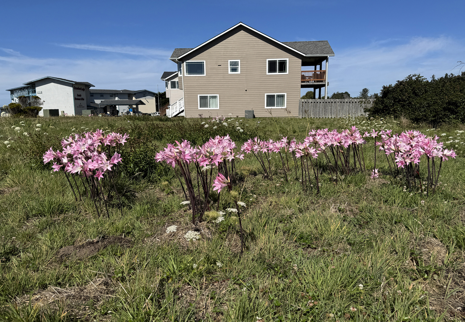
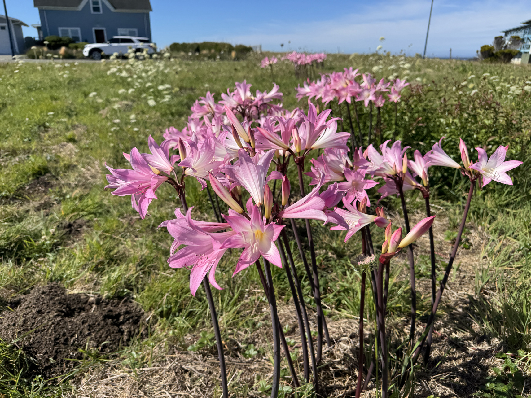
Little patches of these were around the beach in Crescent City
Overview:
First proper visit to Redwood National Park.
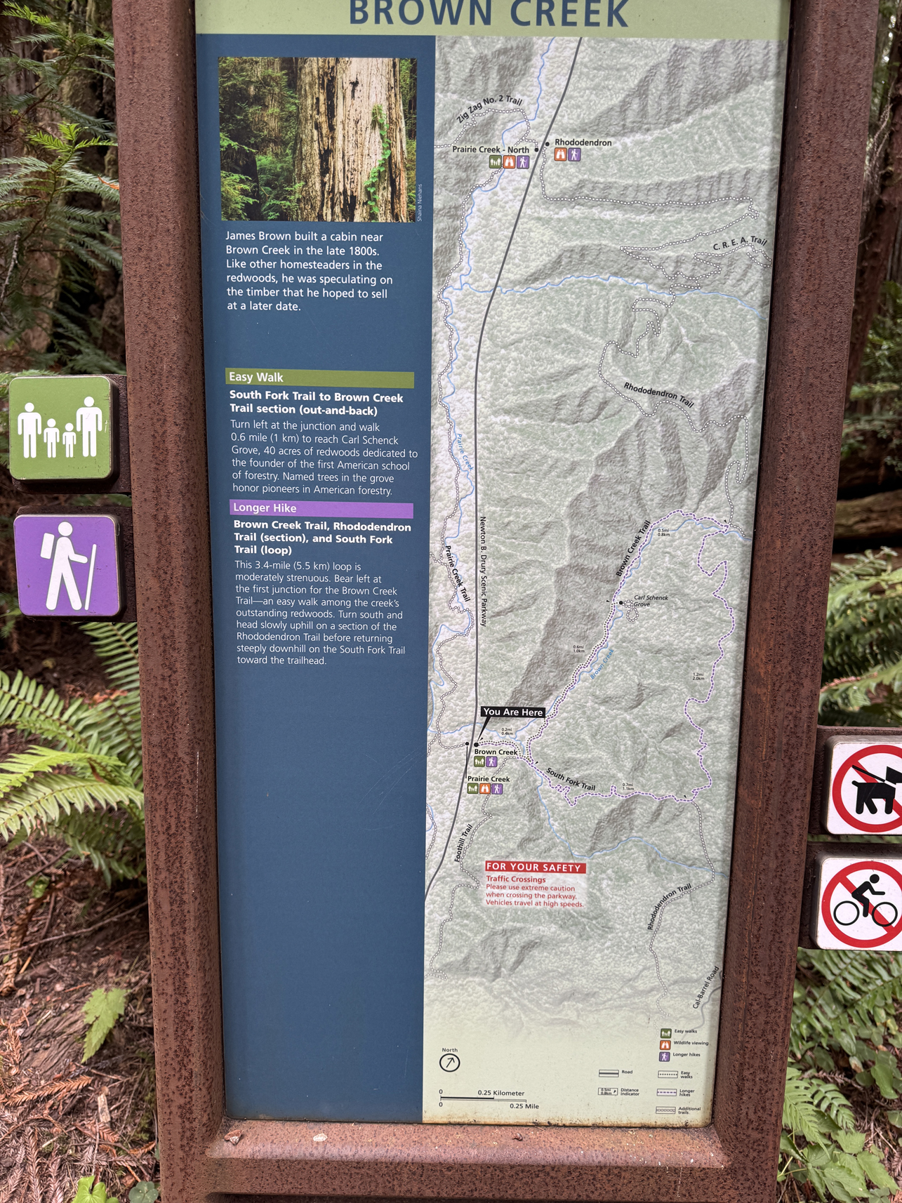
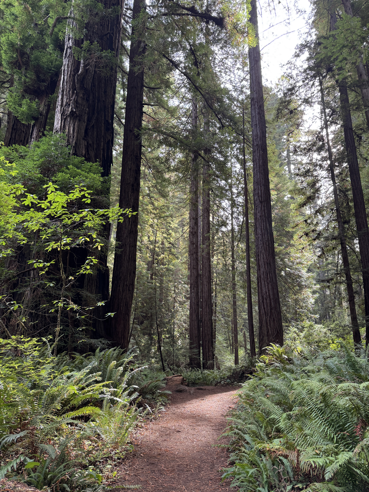
Went to Prairie Creek Visitor Center to get trail advice, then walked the South Fork > Rhododendron Trail > Brown Creek Trail.
Journey: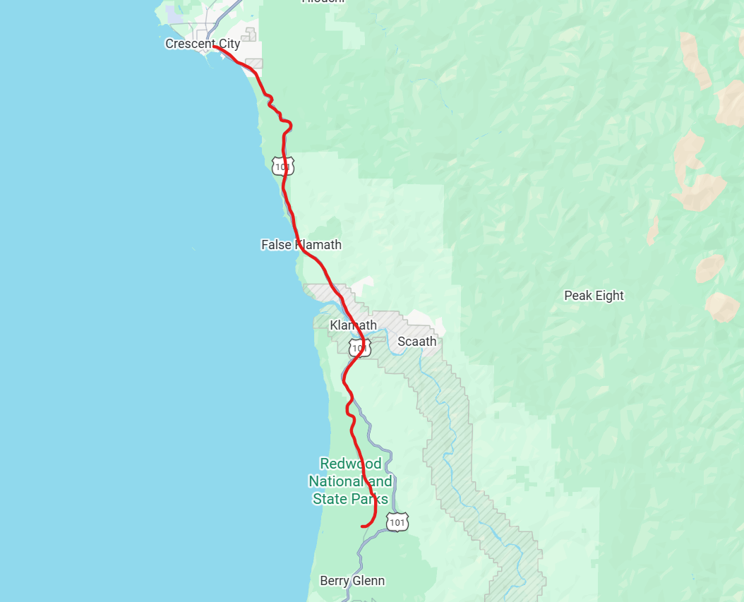
Drive to Prairie Creek.
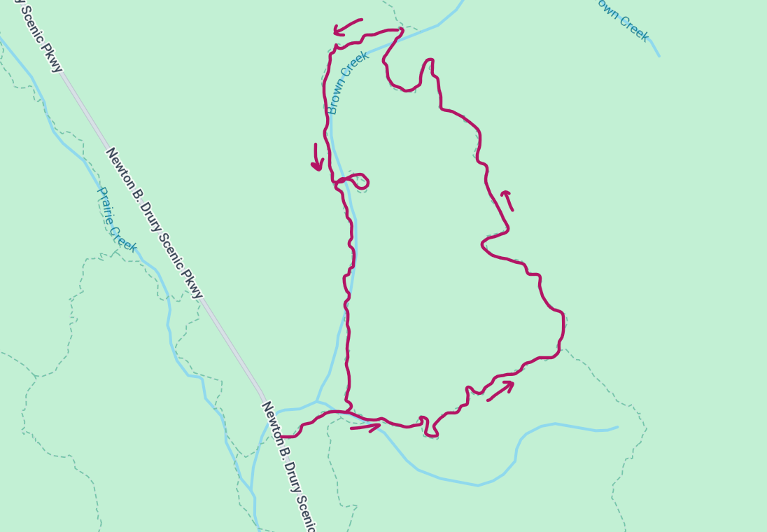
Path through trails.
Gallery:
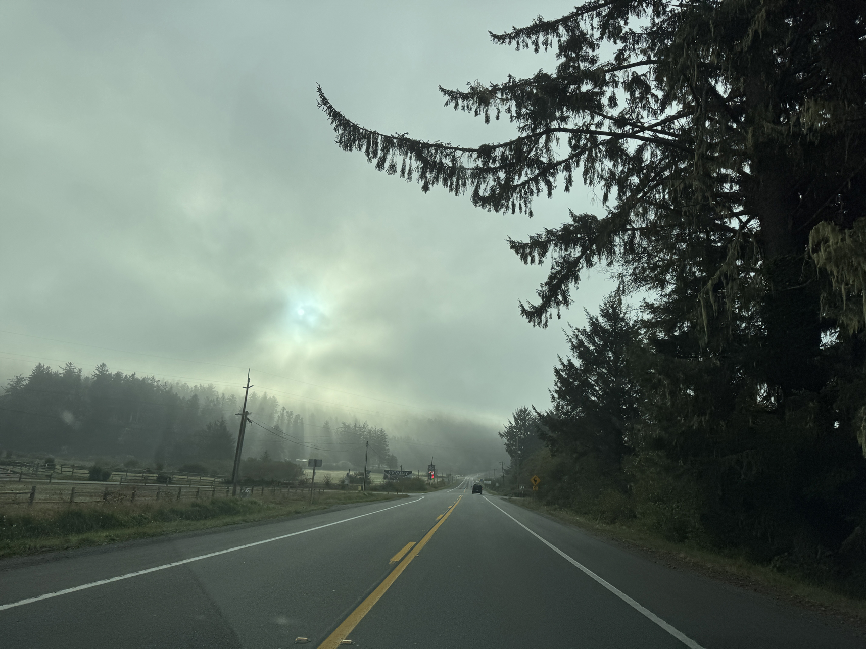
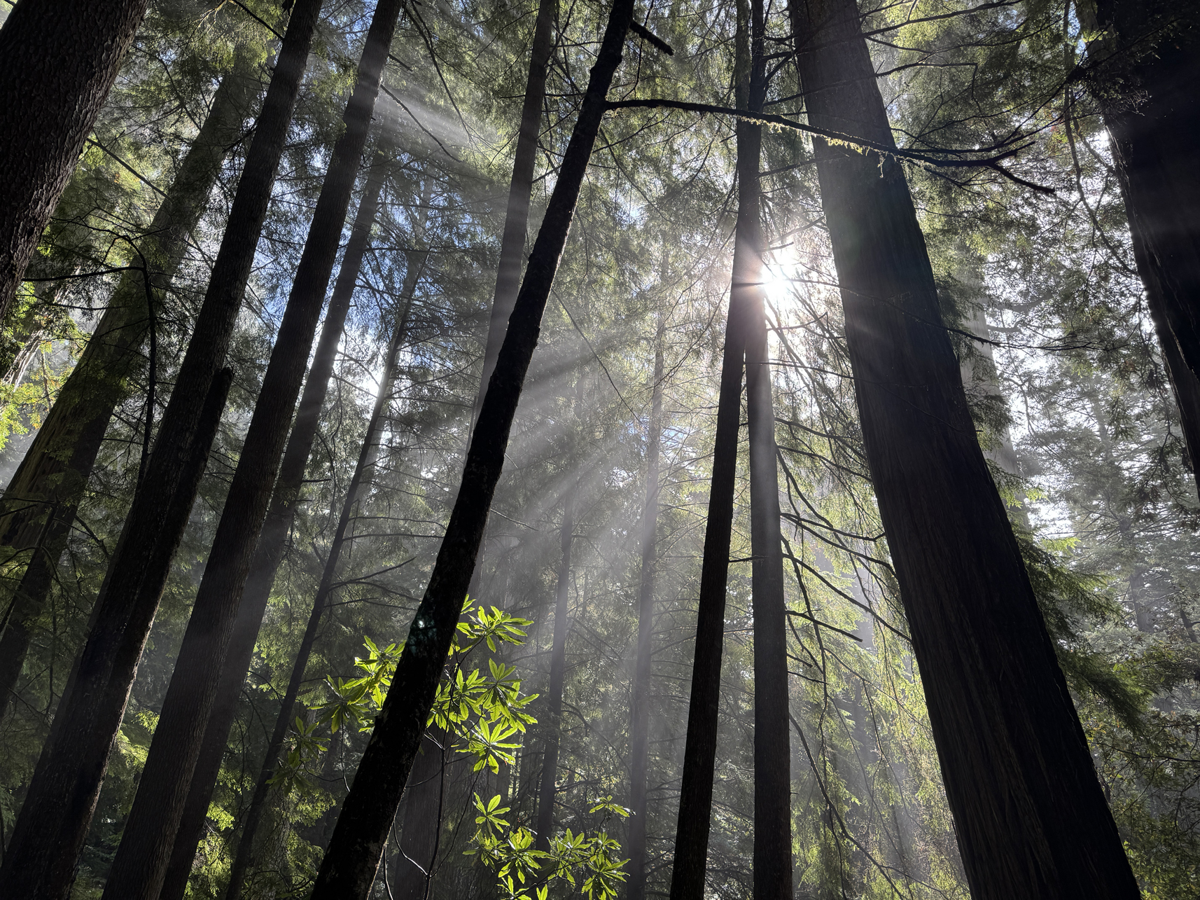
Morning fog south of Crescent City 
Little kits found in visitor centers 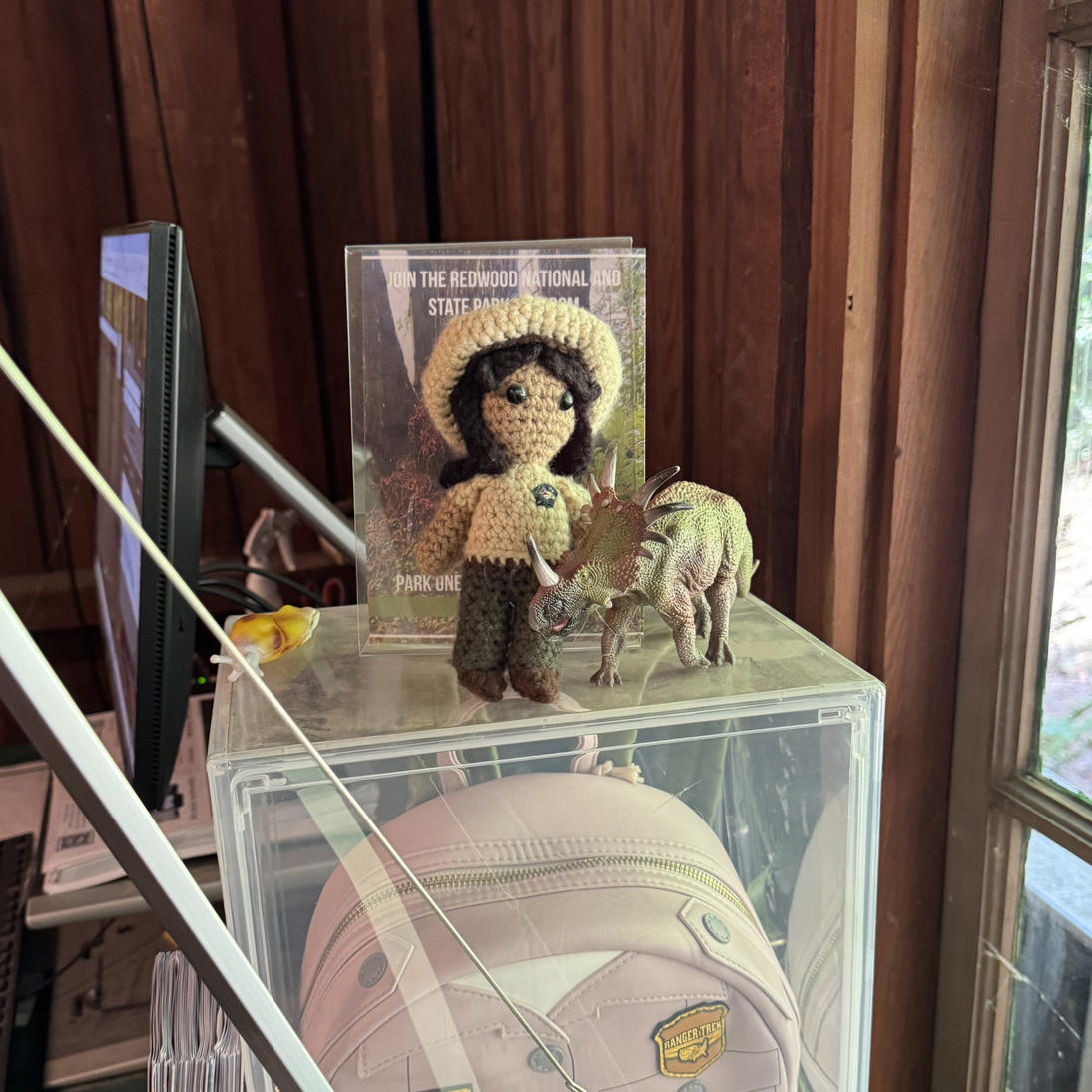
Completed crochet ranger in visitor center 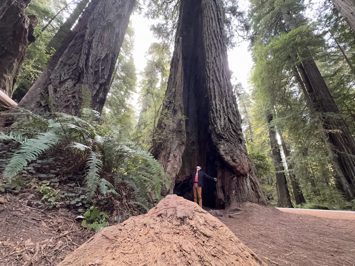
Me inside tree at Brown Creek Trl trailhead 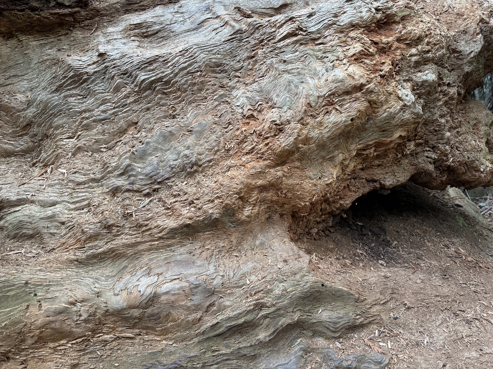
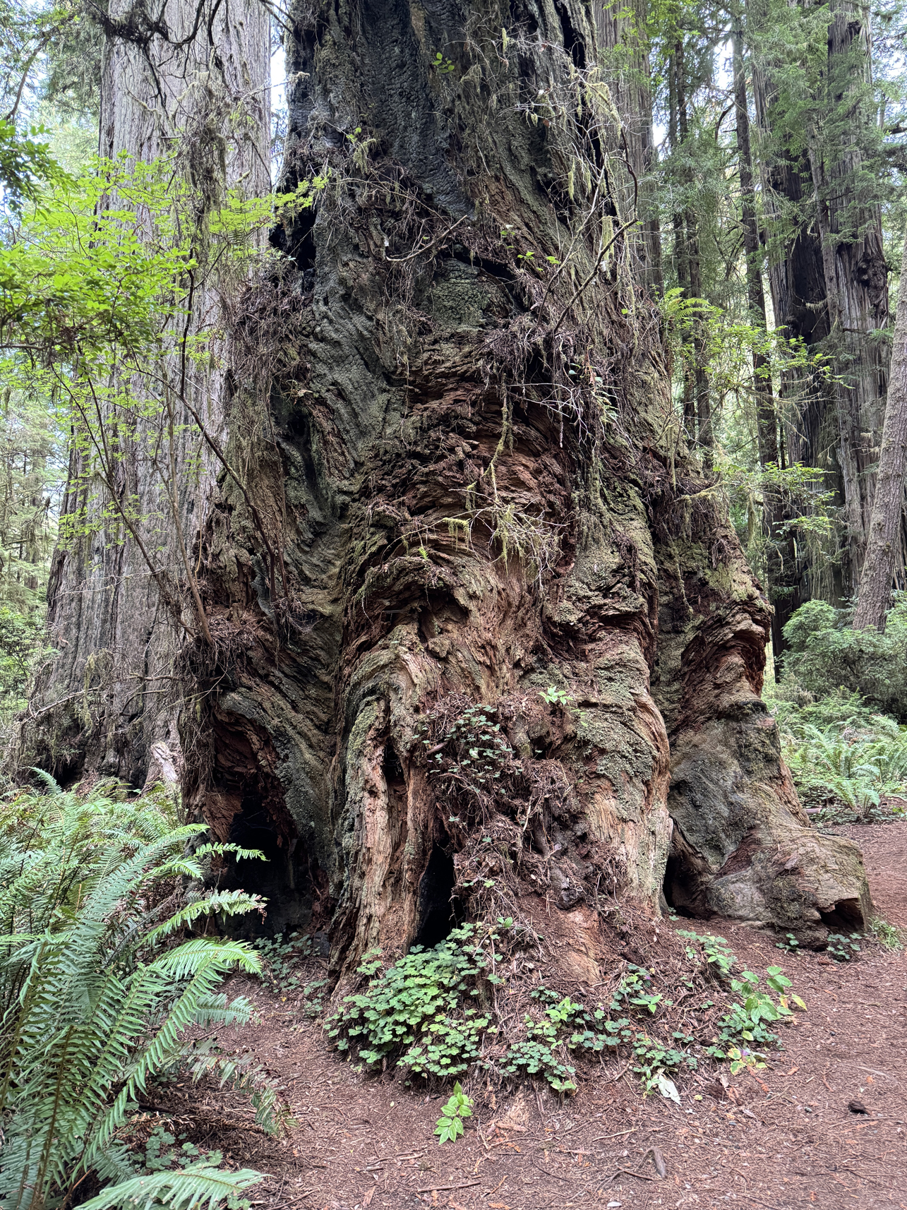
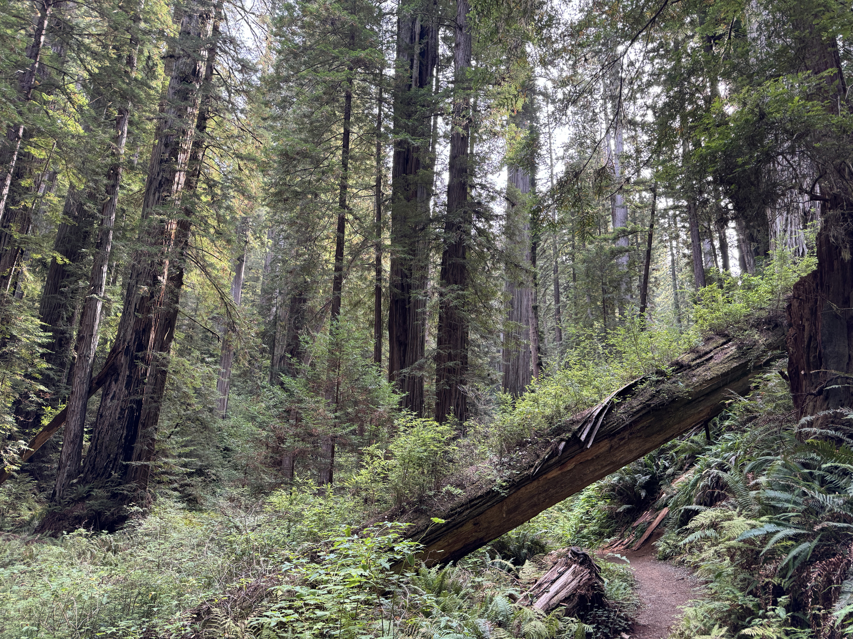
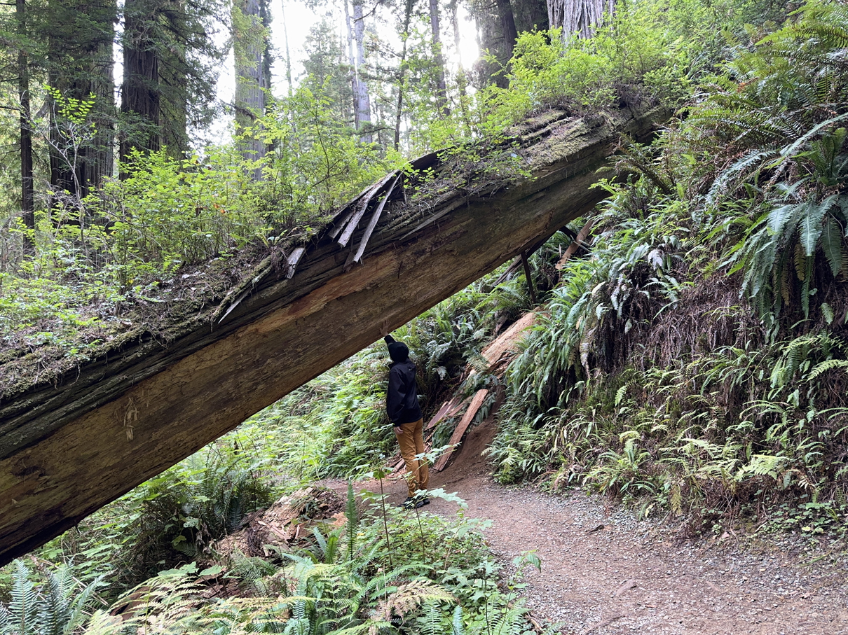
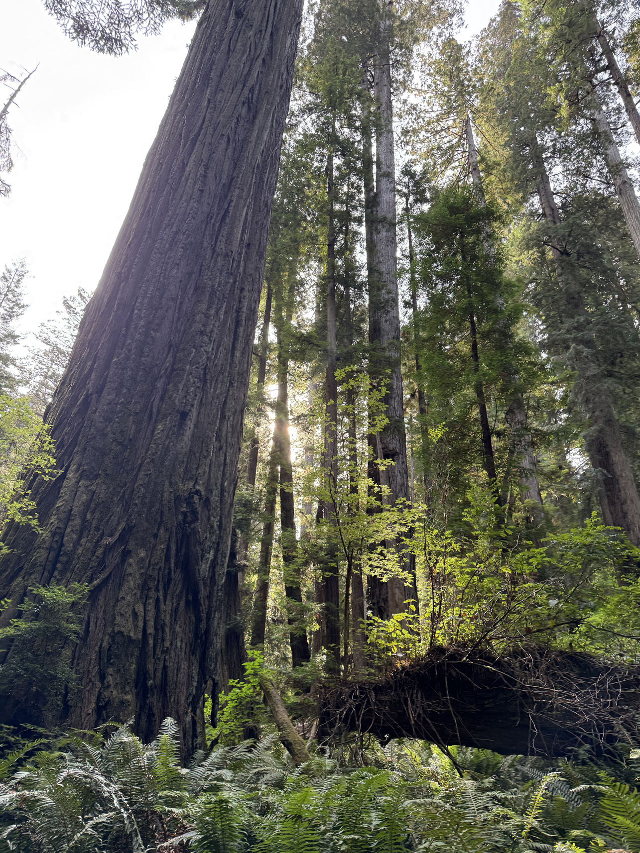
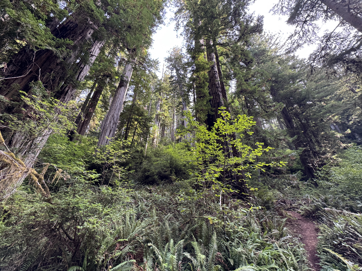
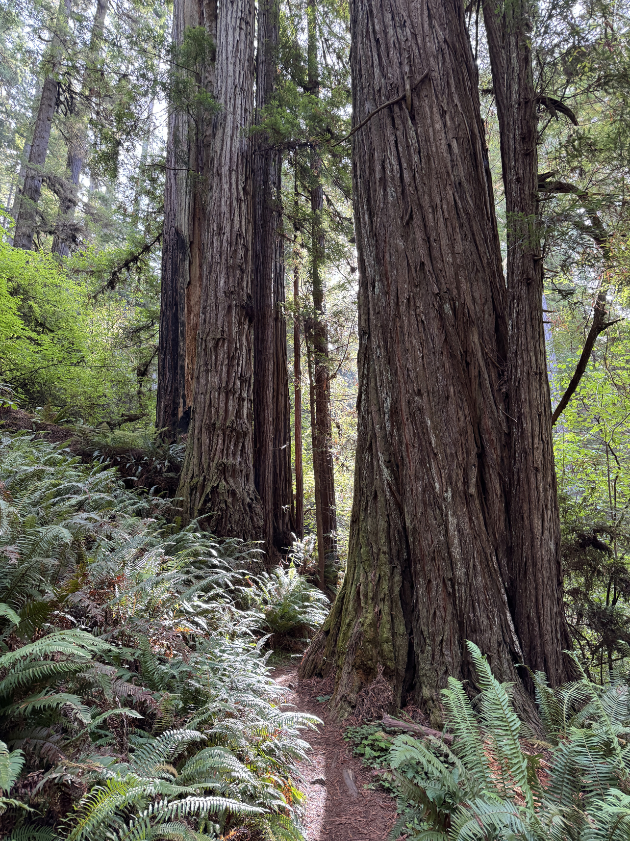
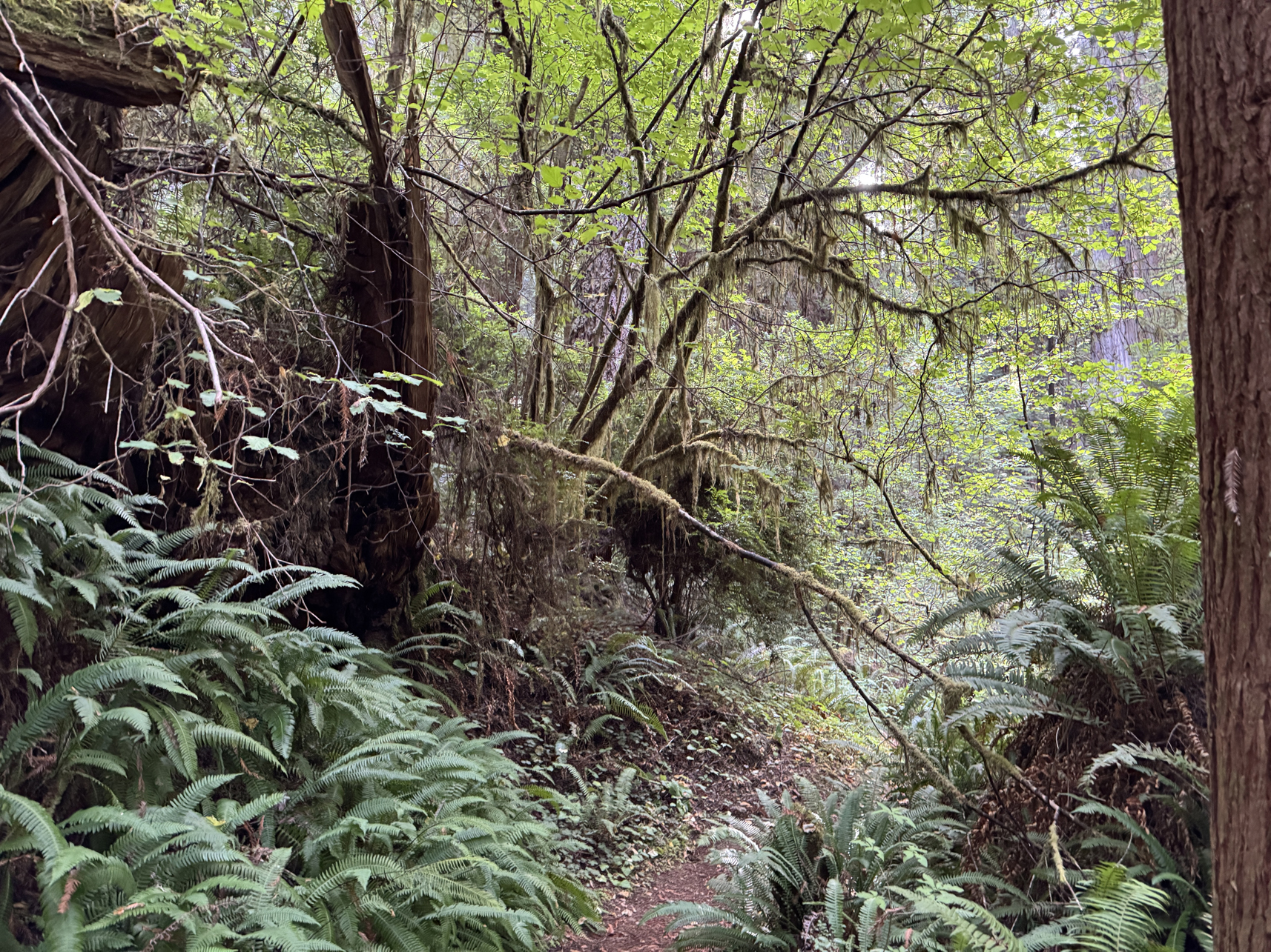
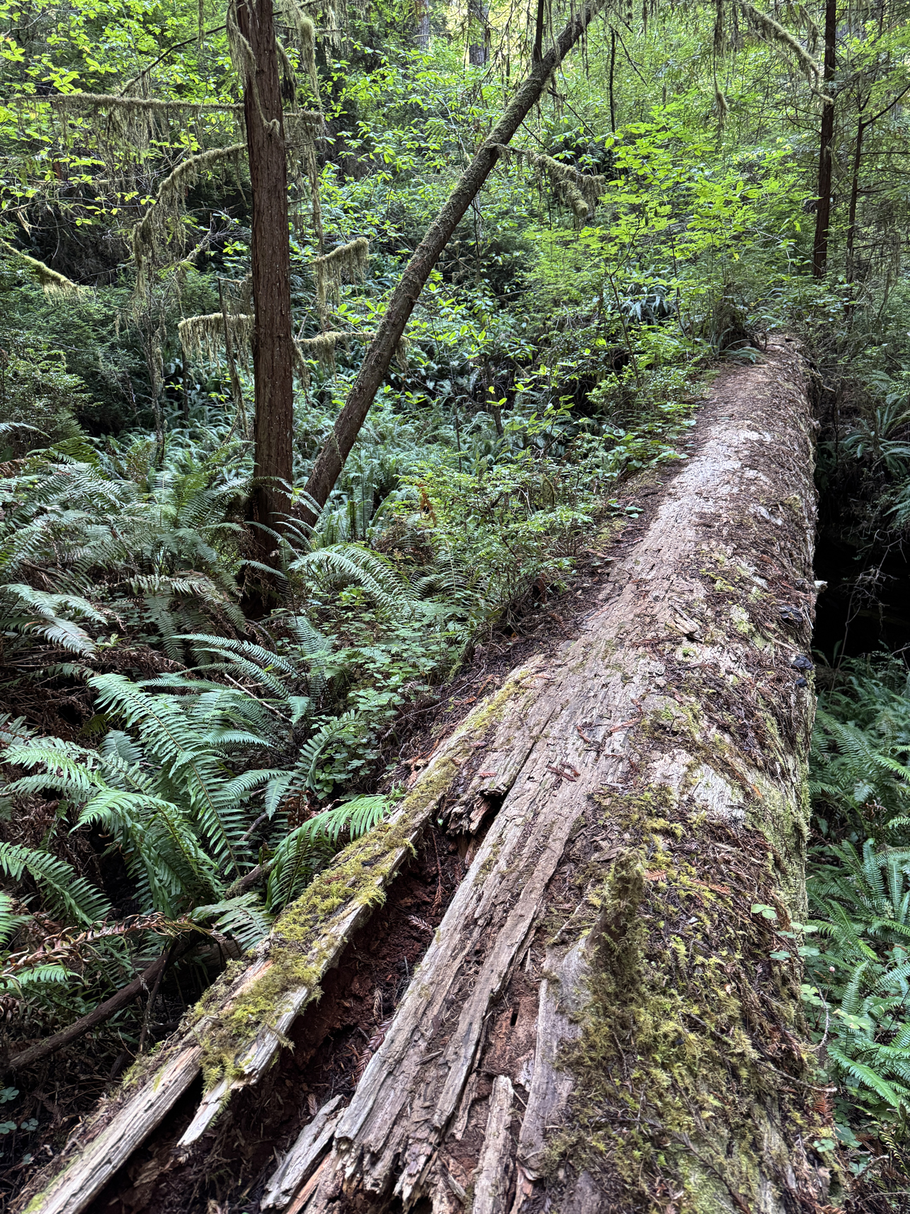
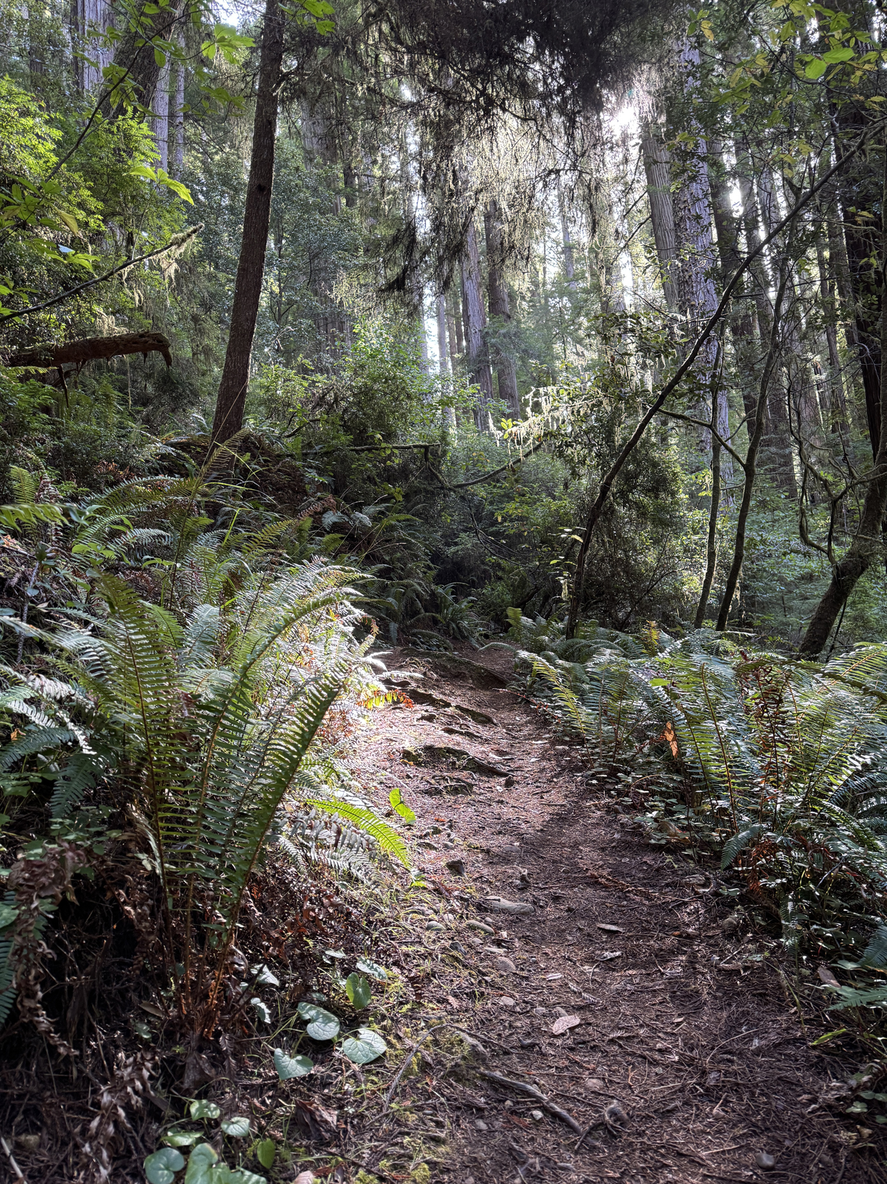
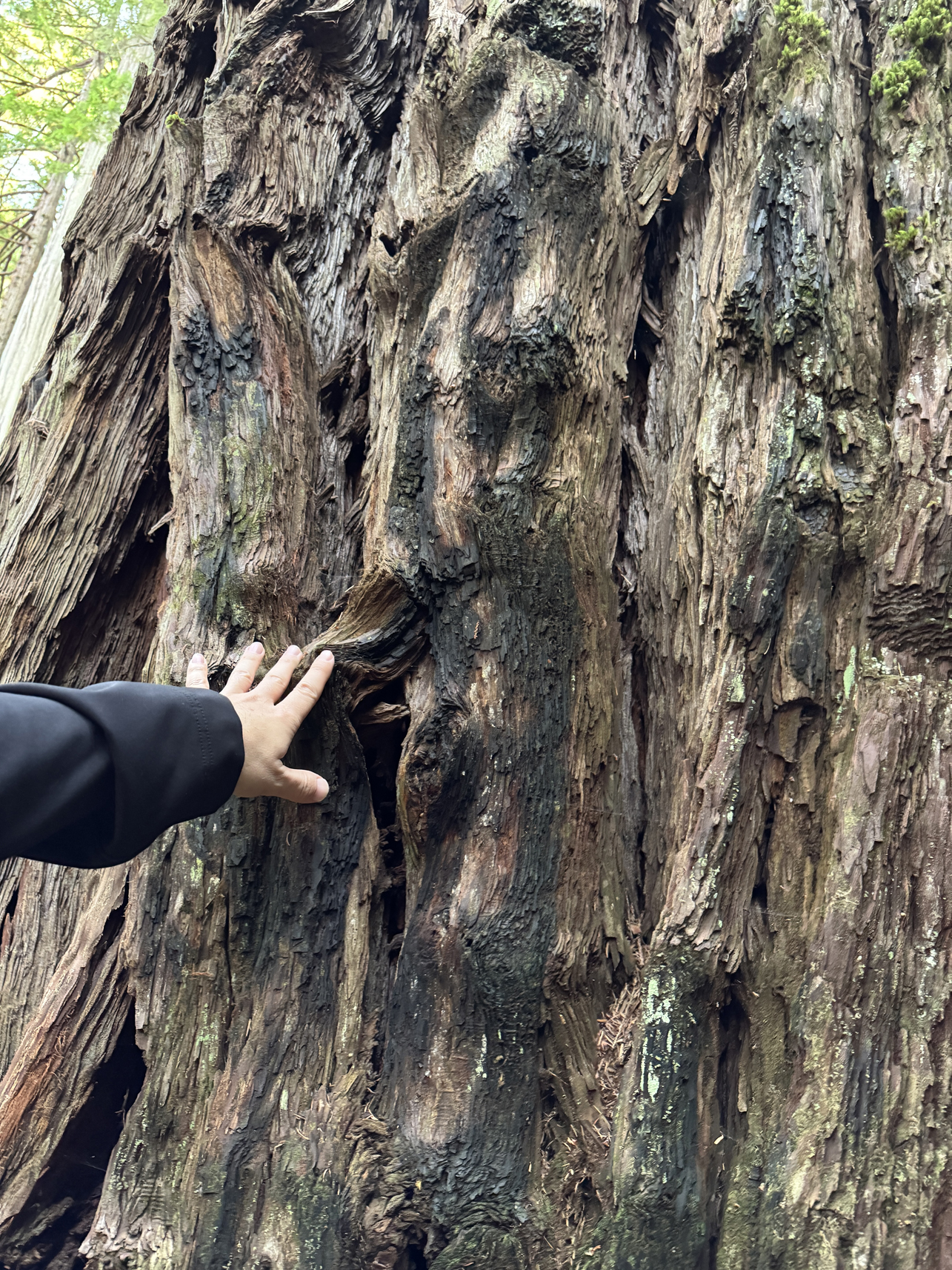
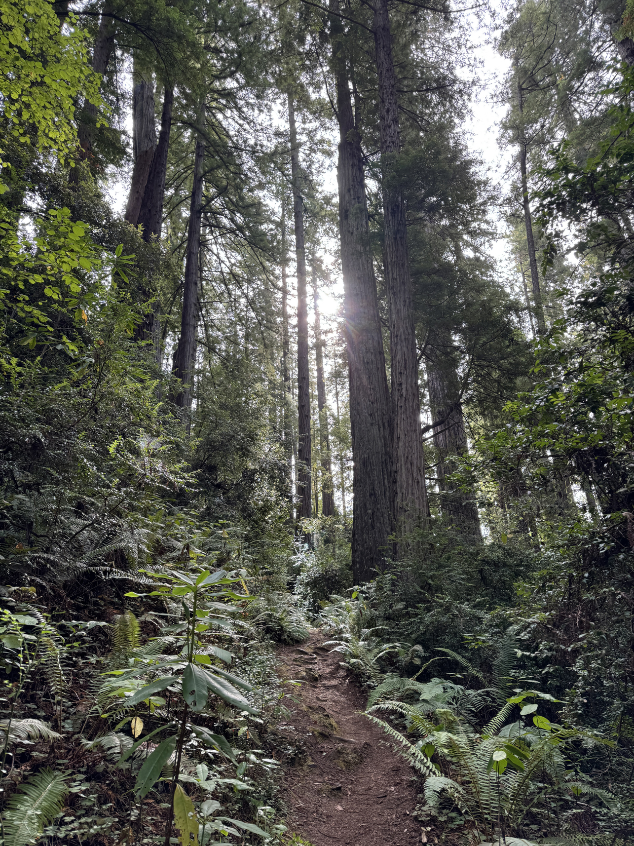
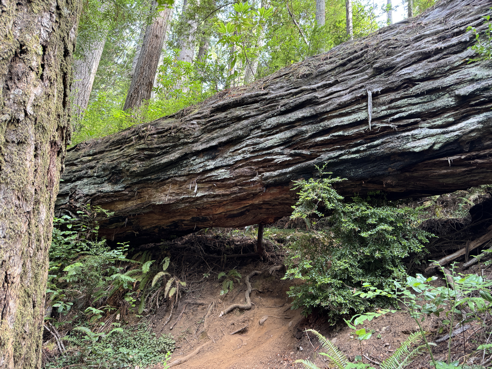
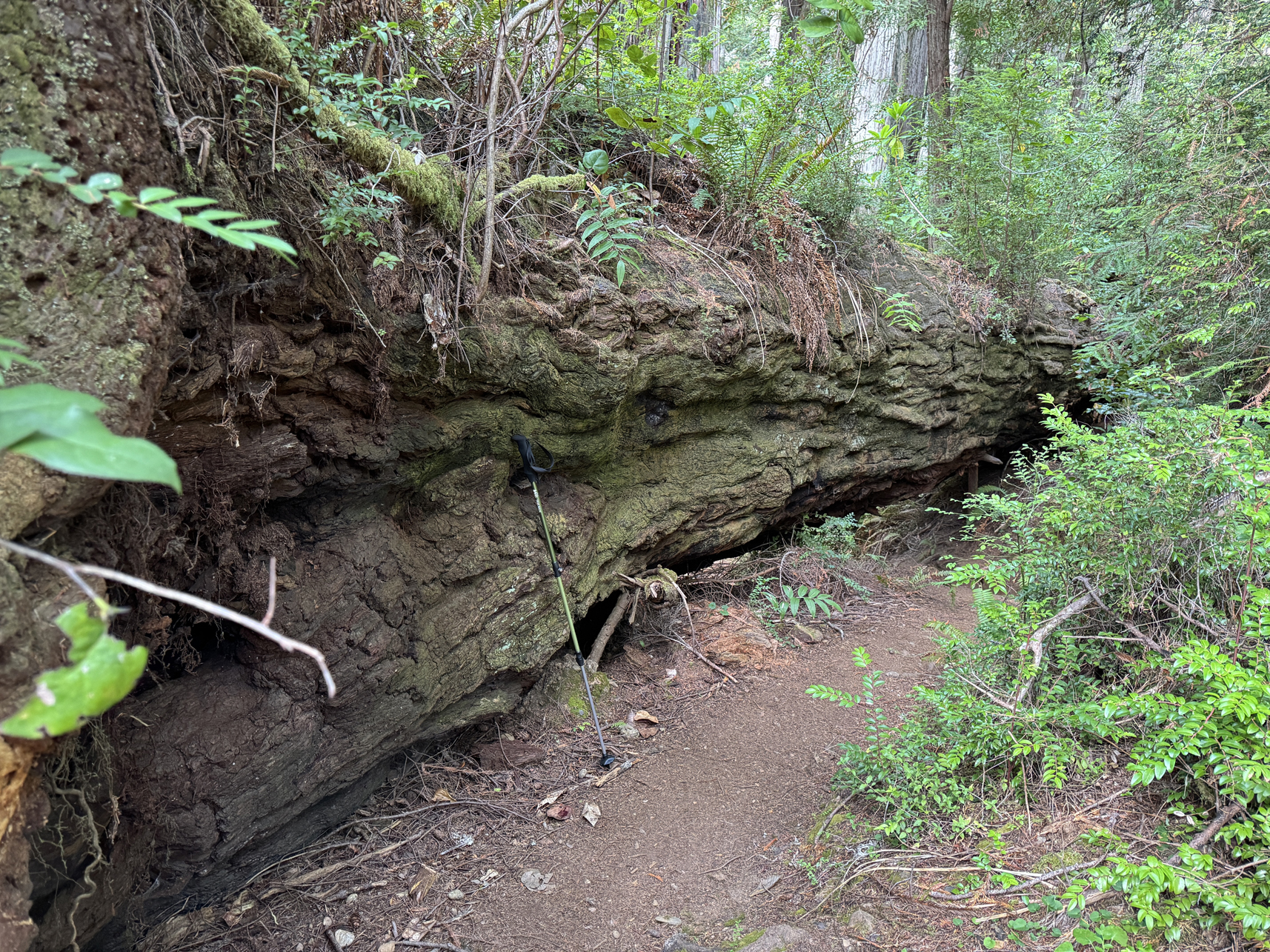
Hiking stick about 4′ 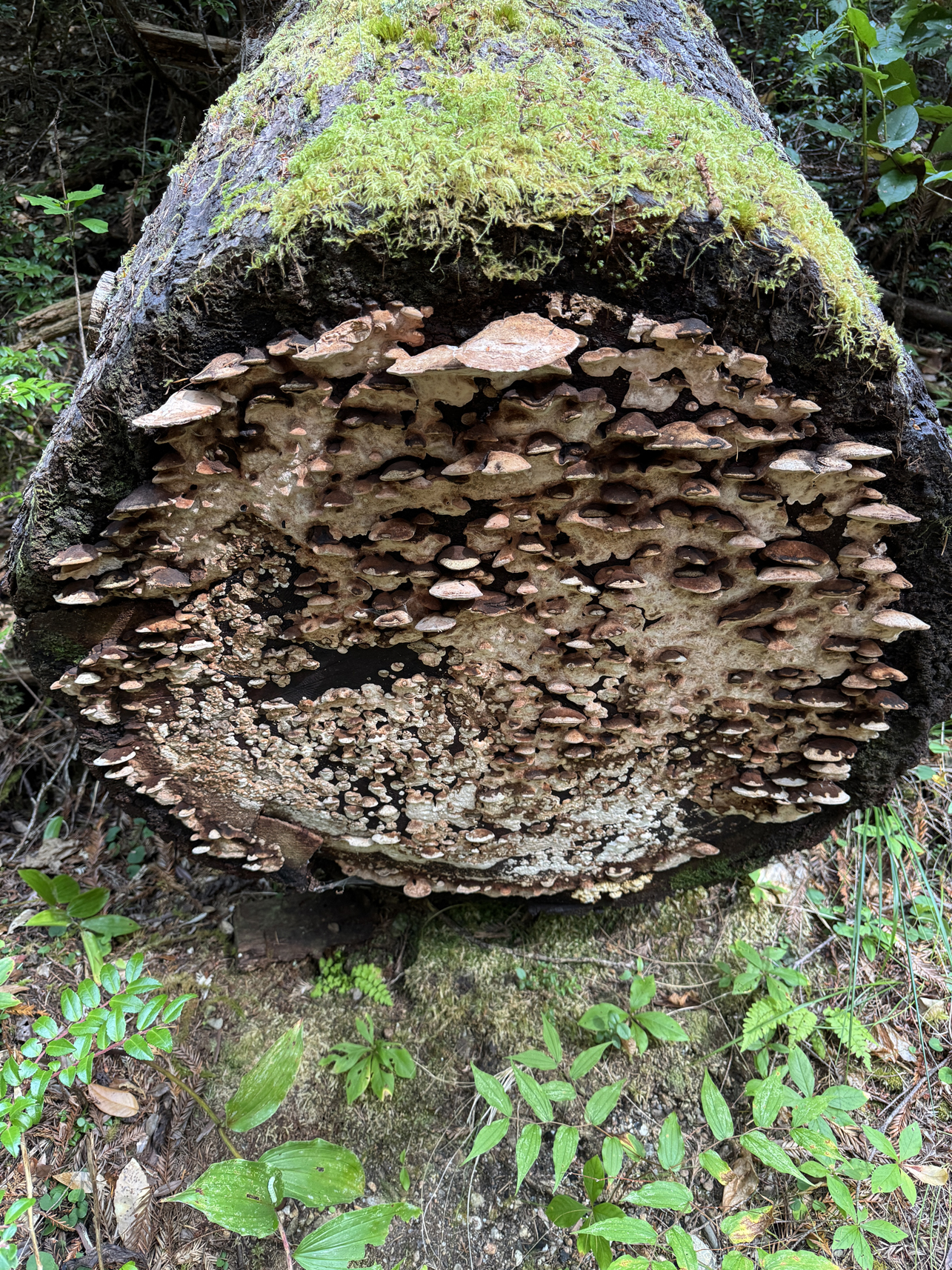
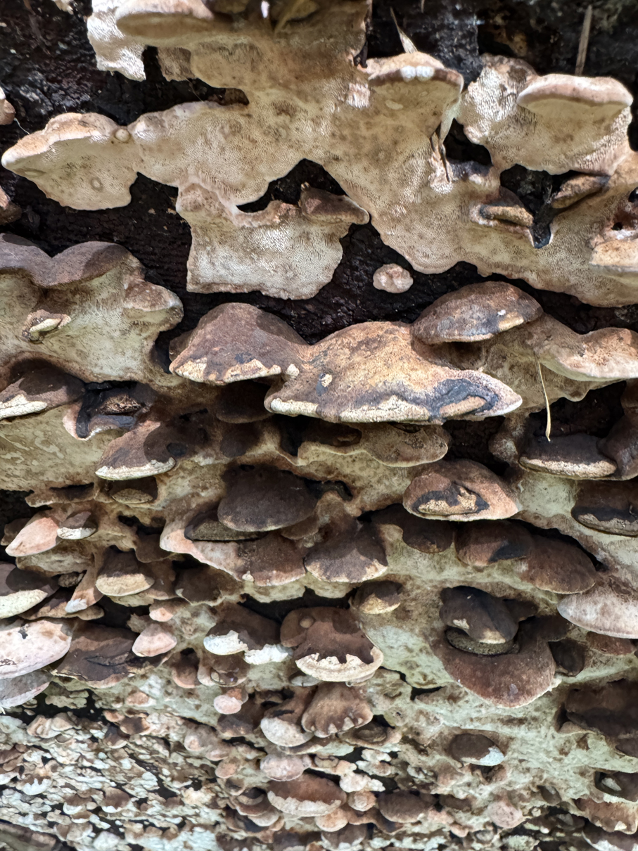
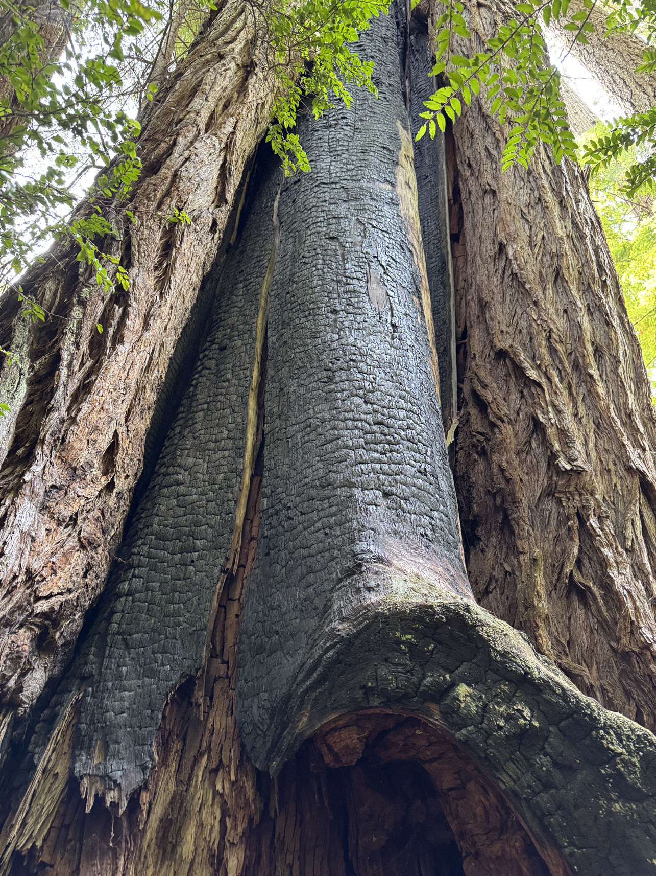
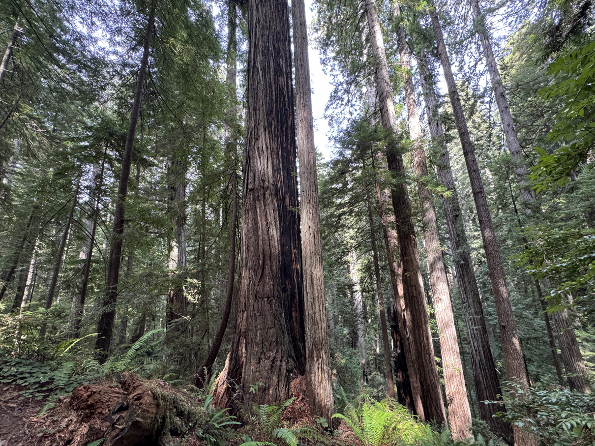
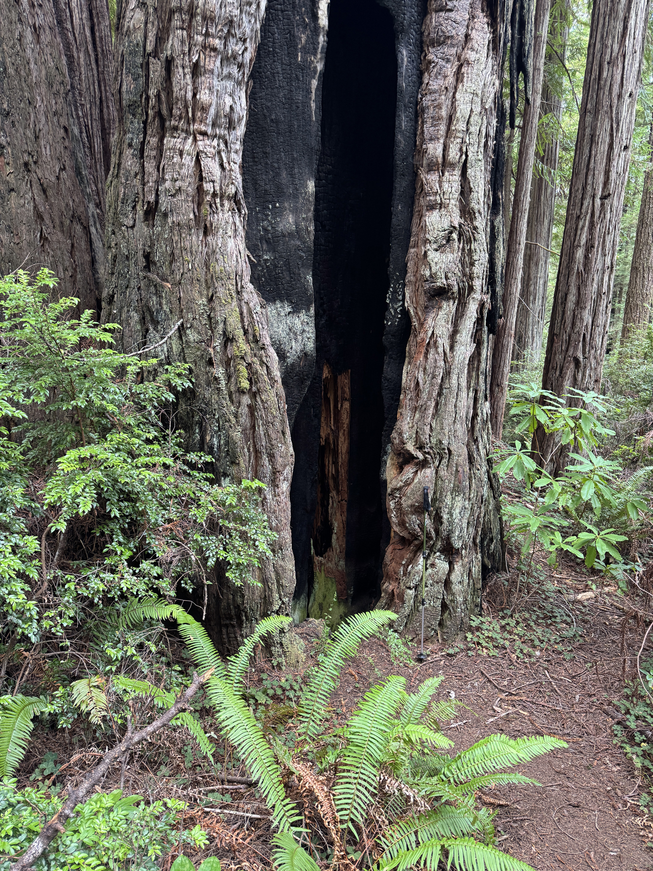
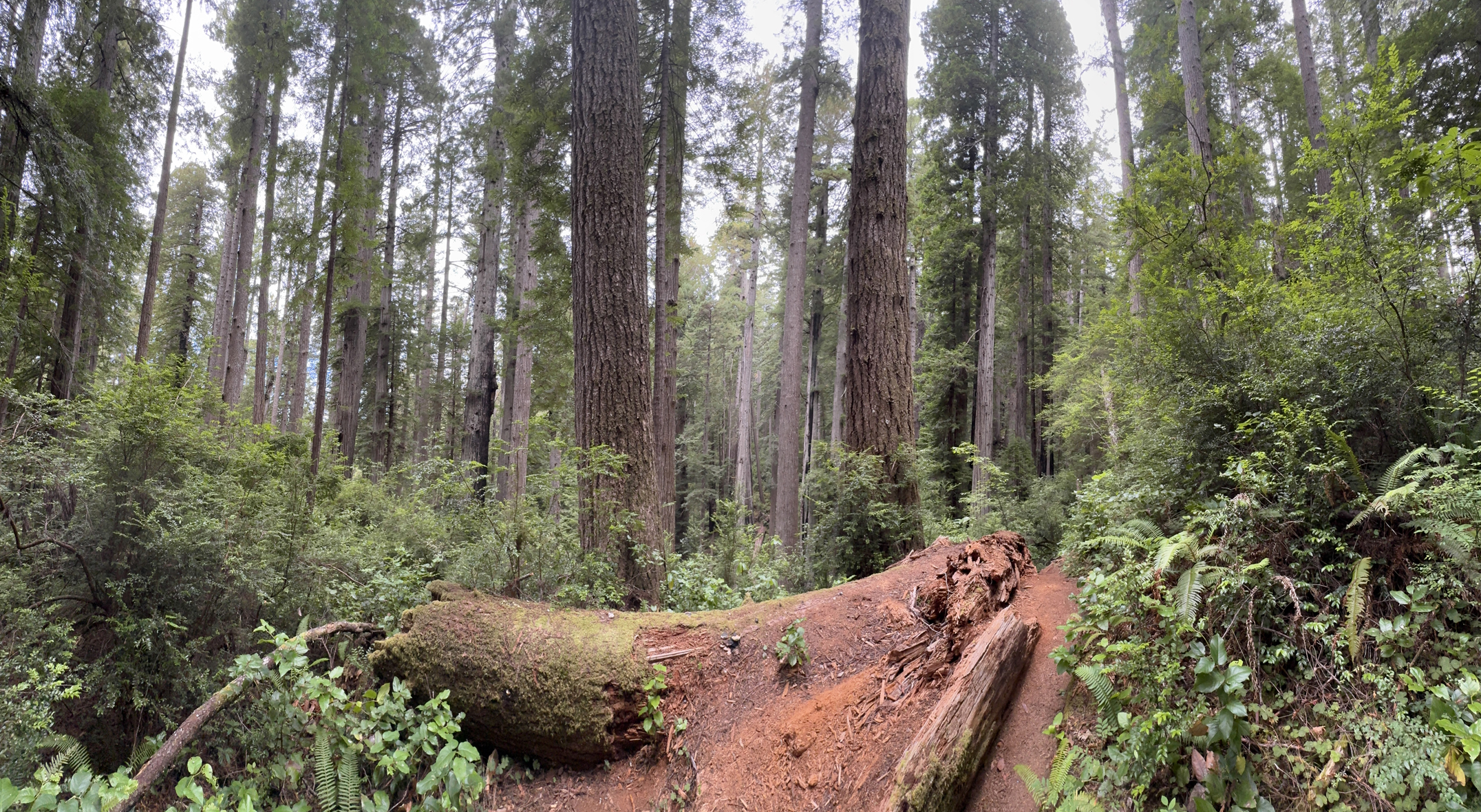
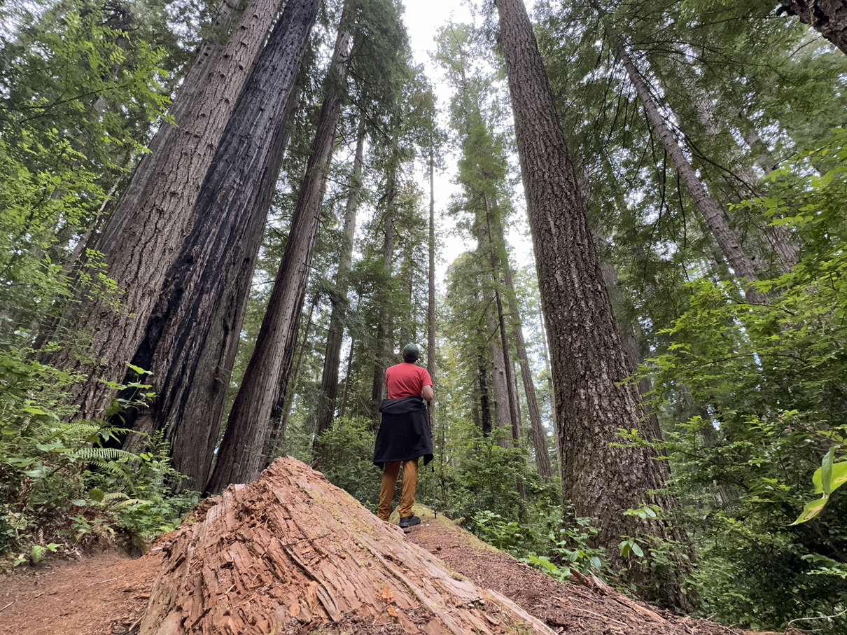
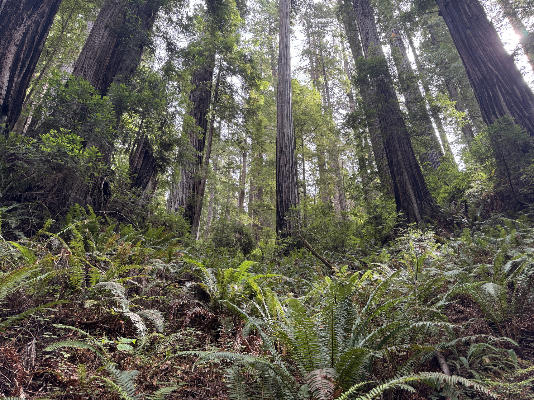
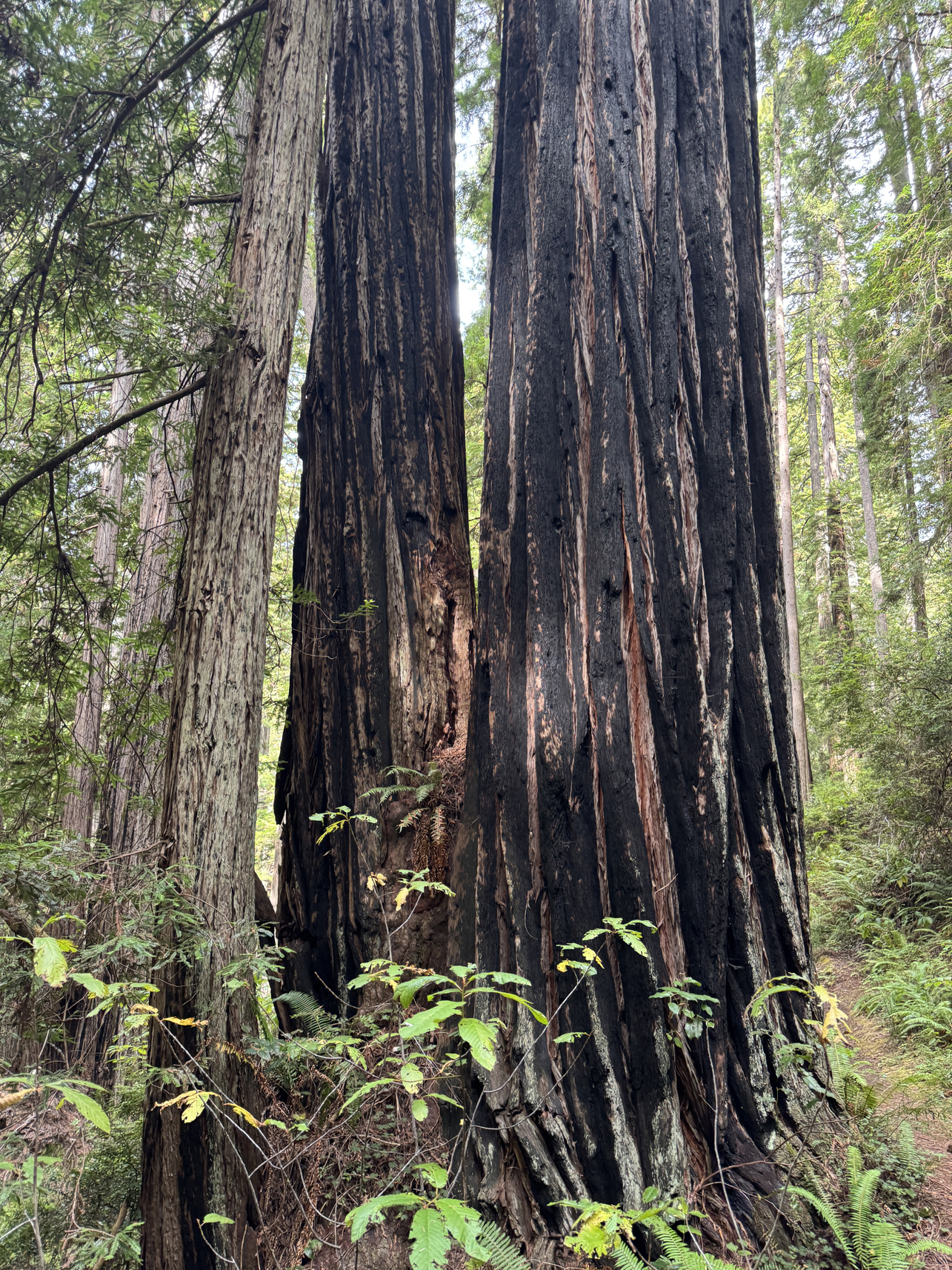
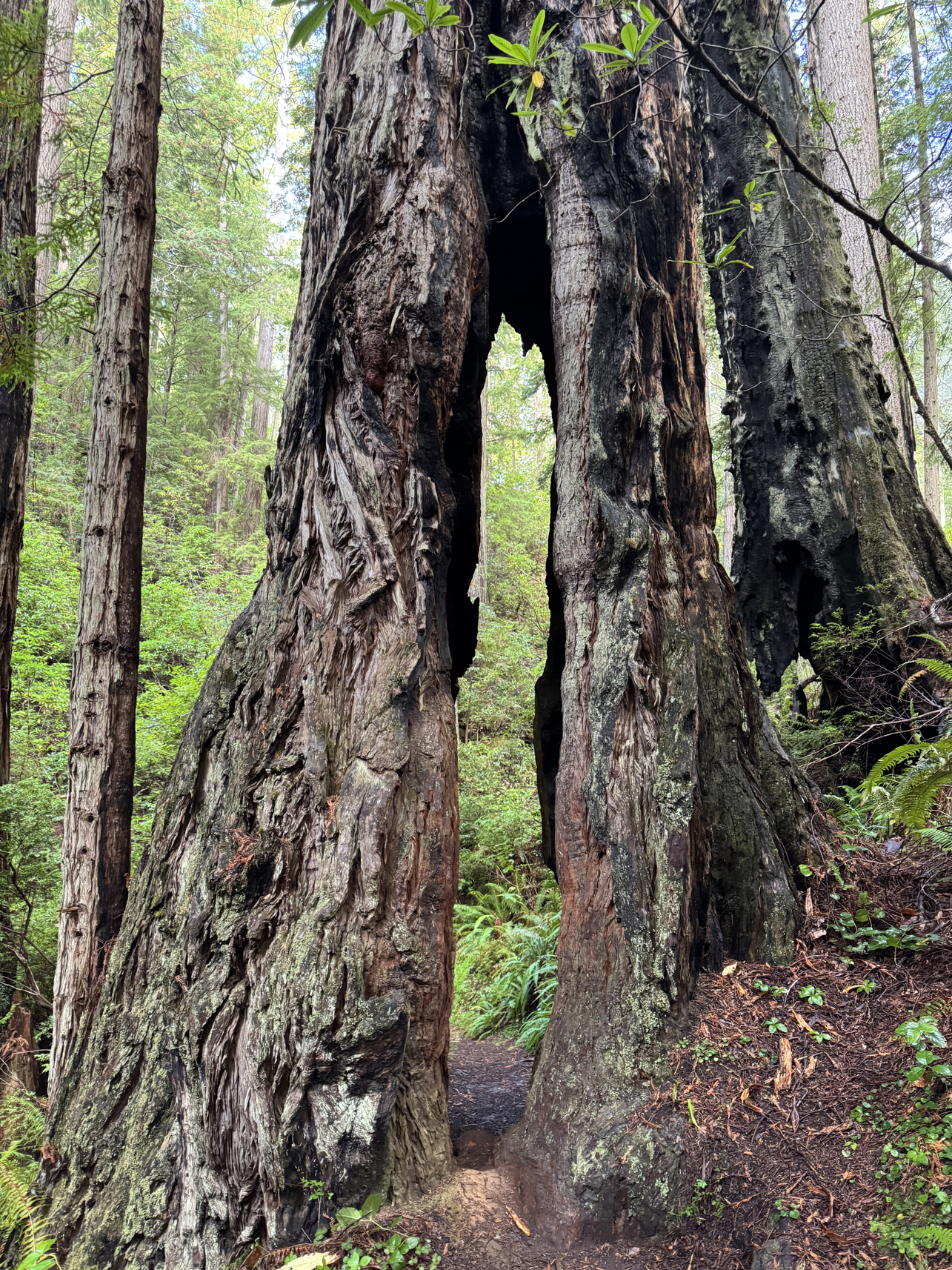
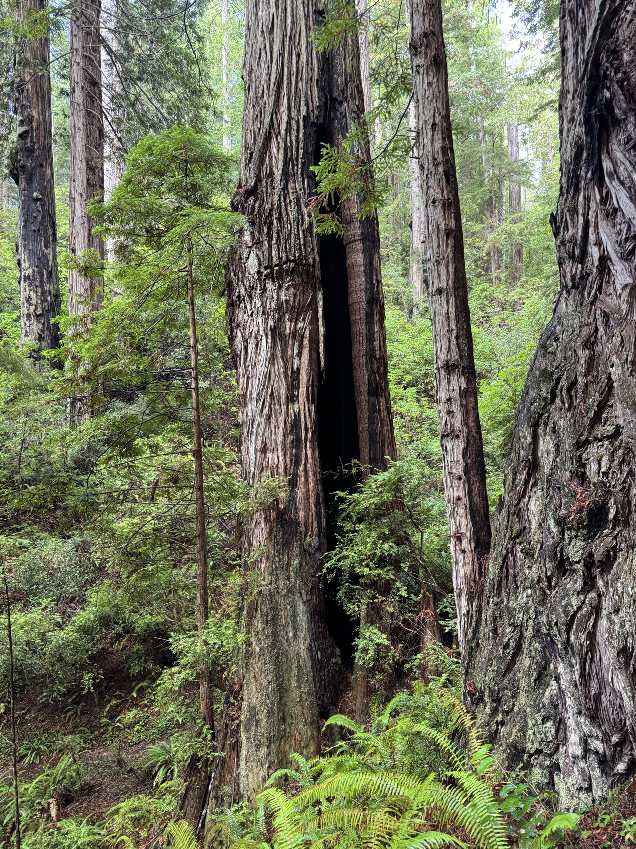
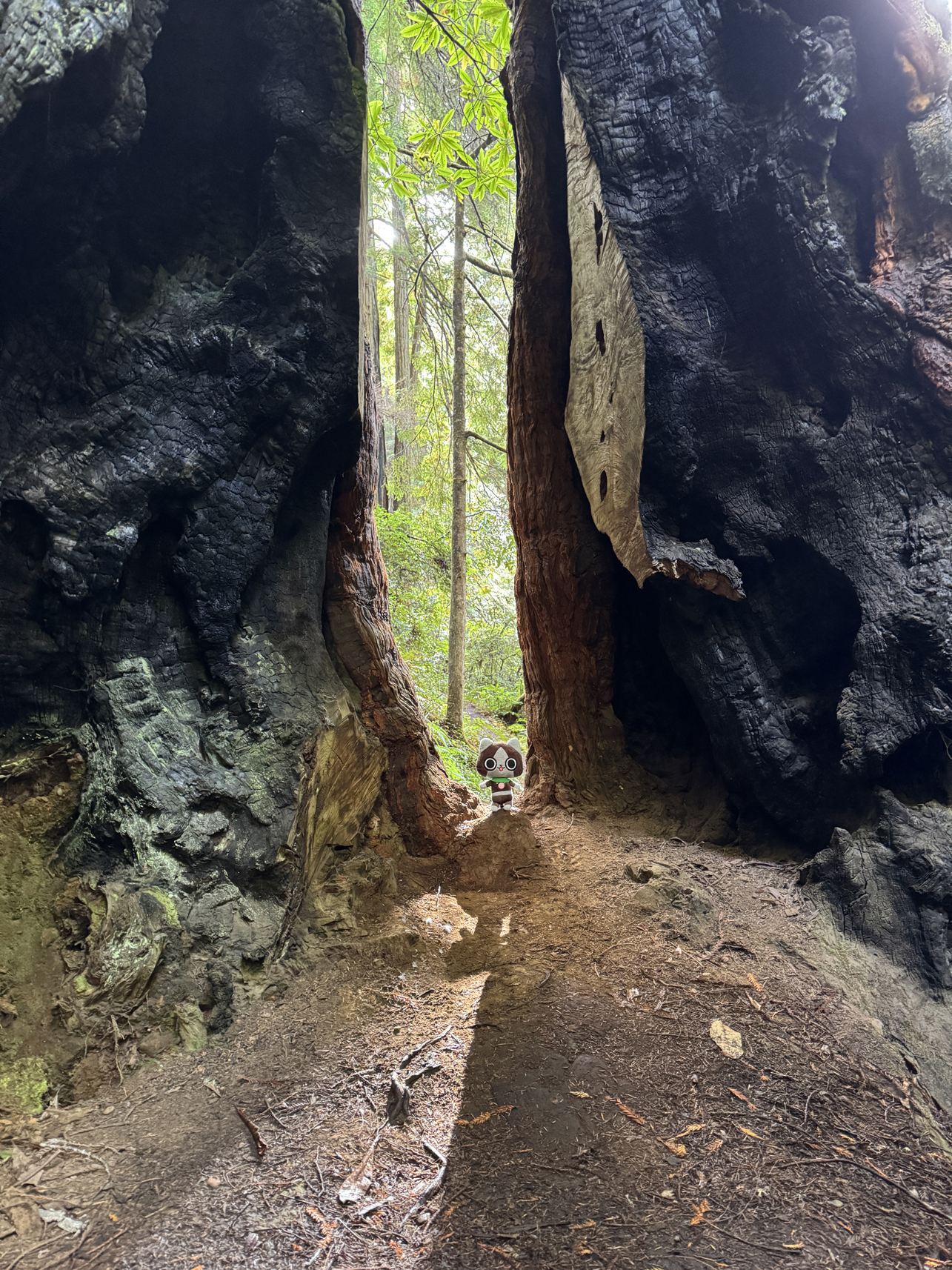
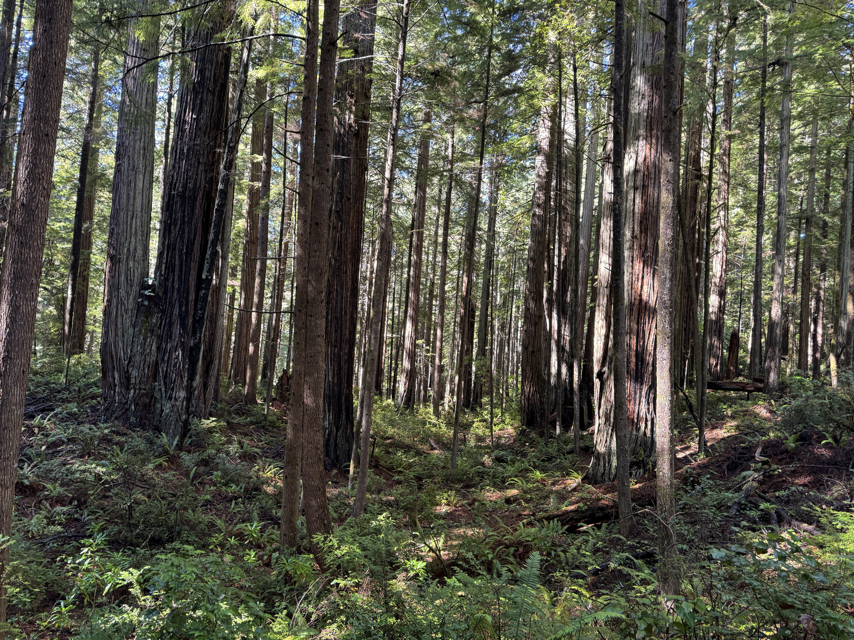
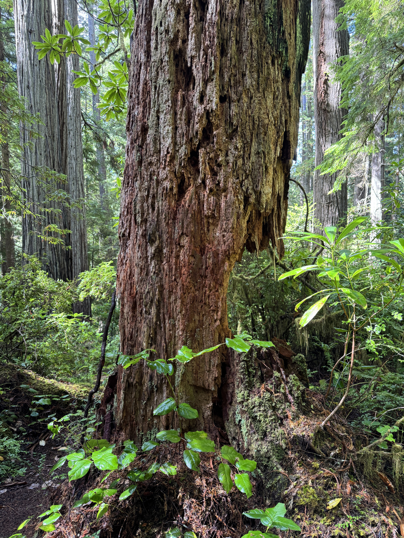
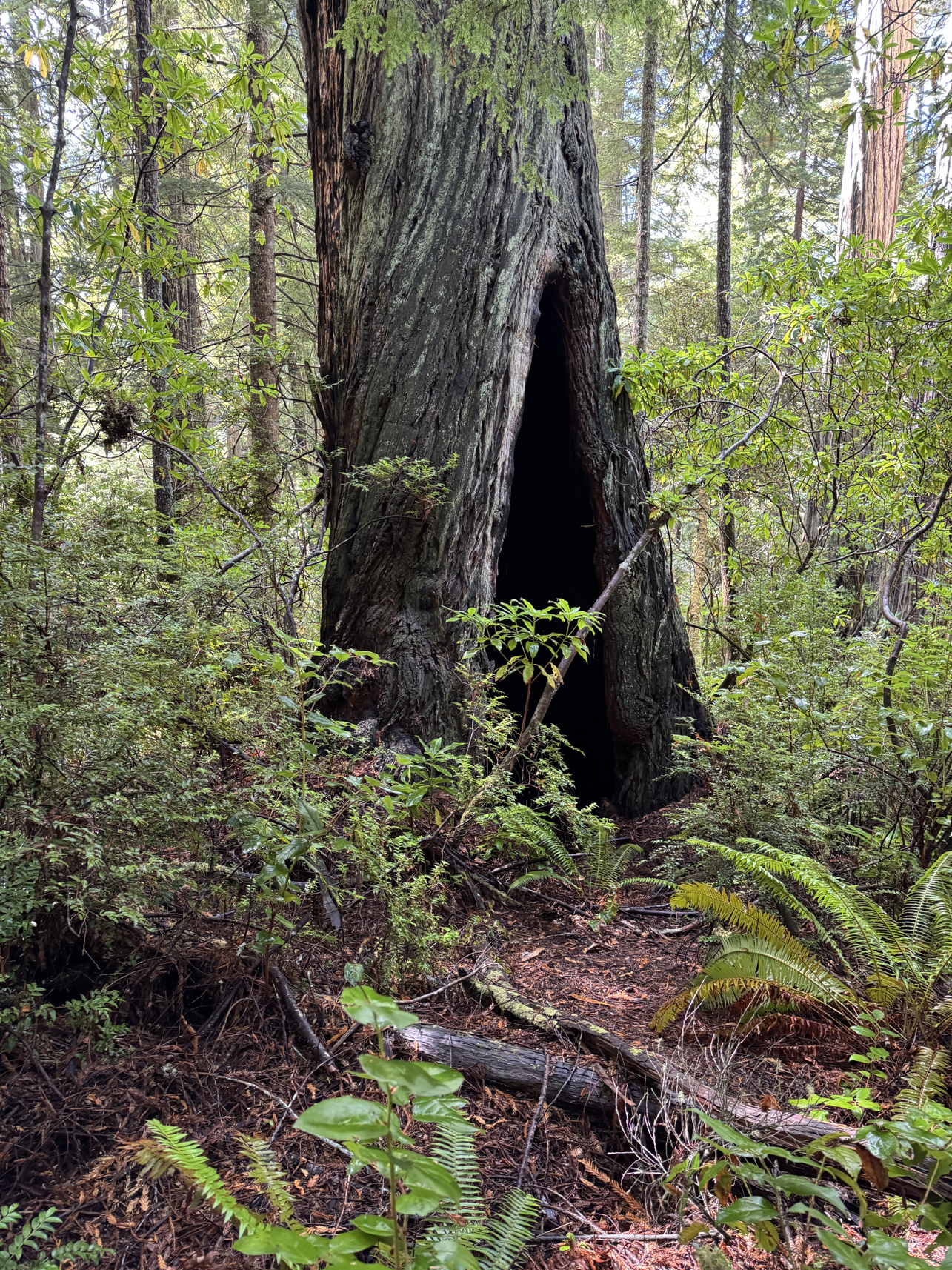
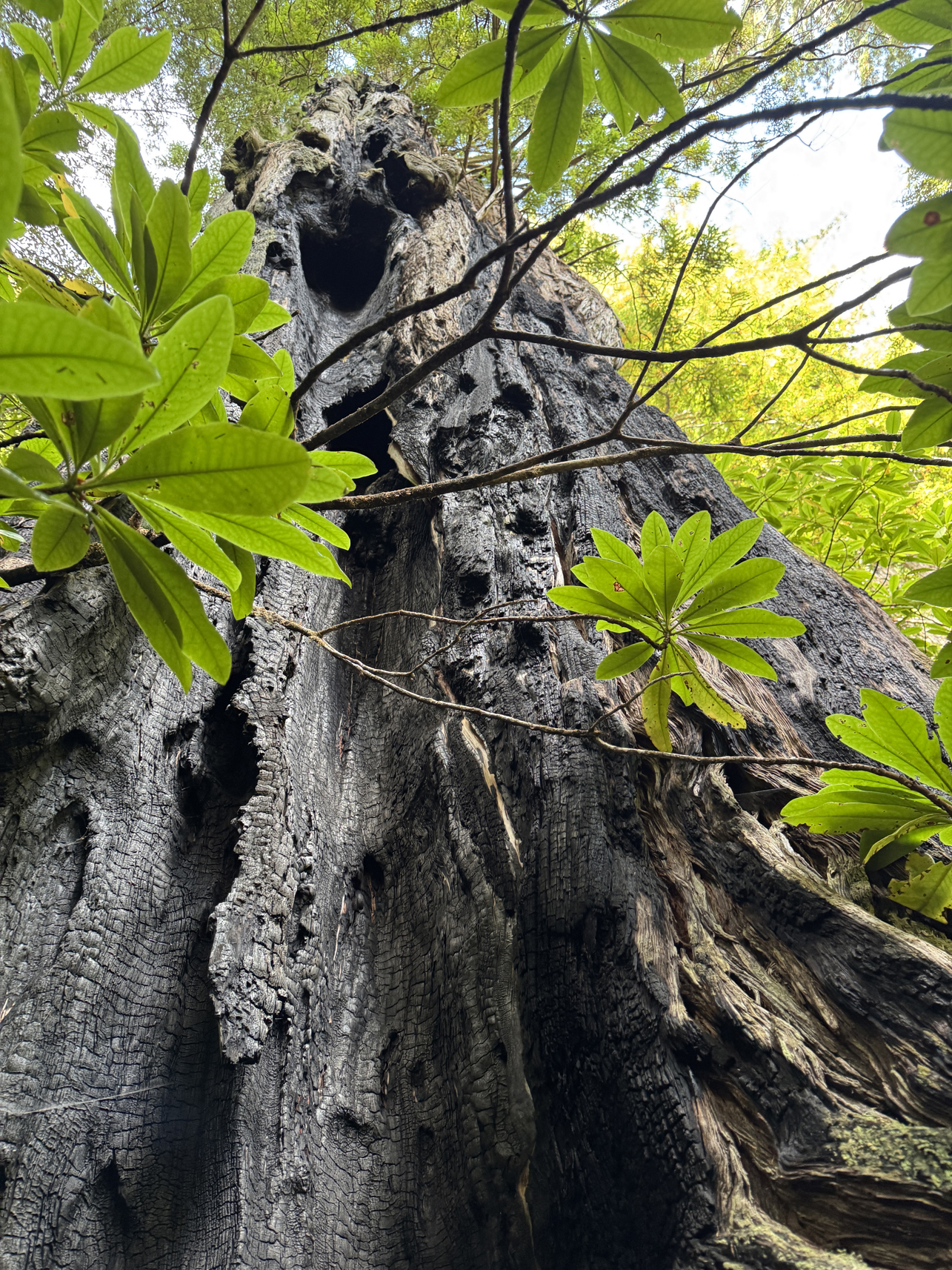
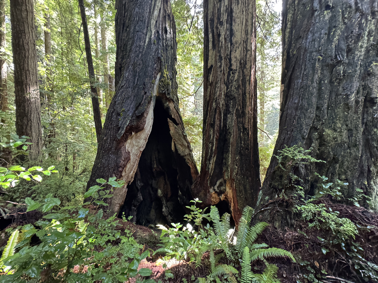
Several older trees had burned sections from old fire 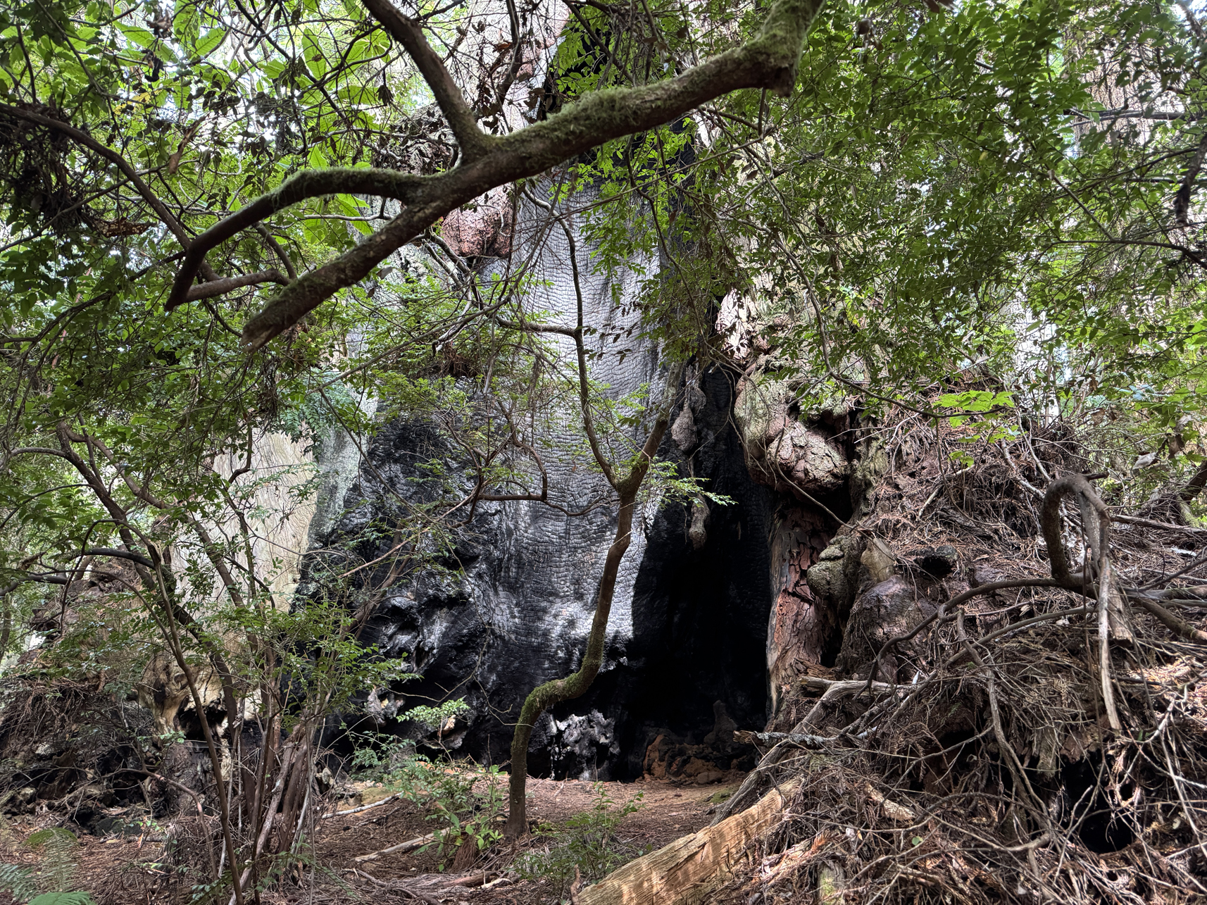
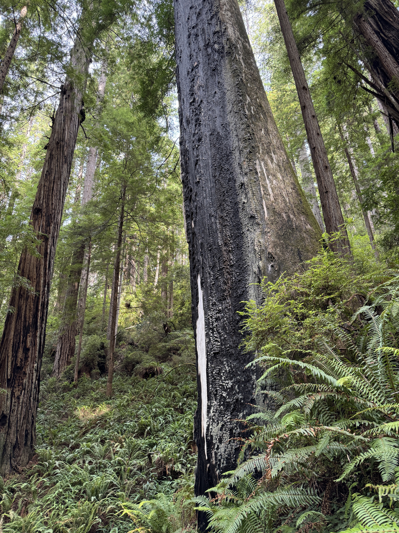
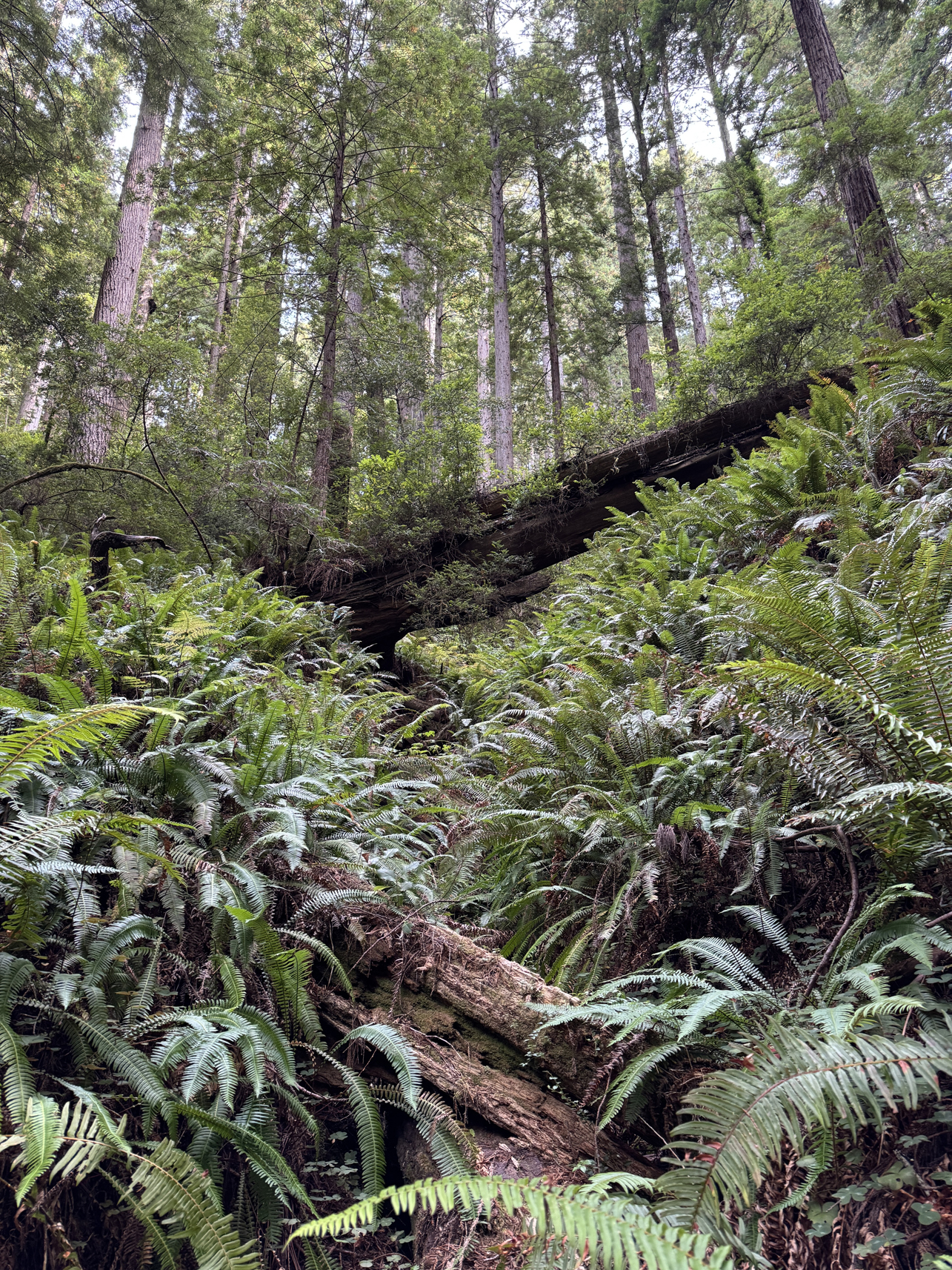
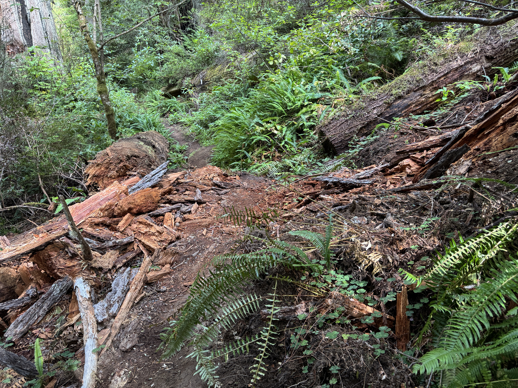
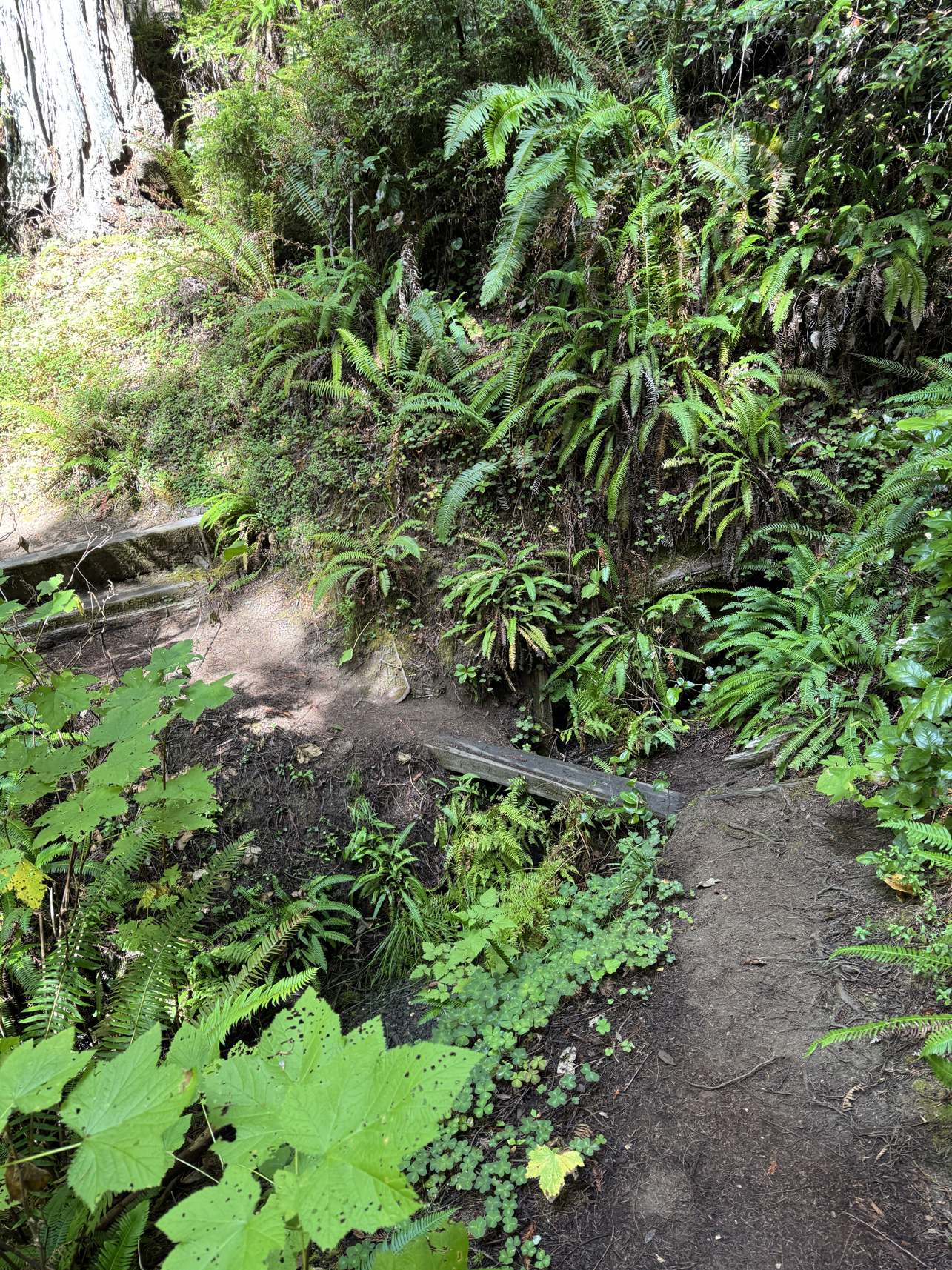
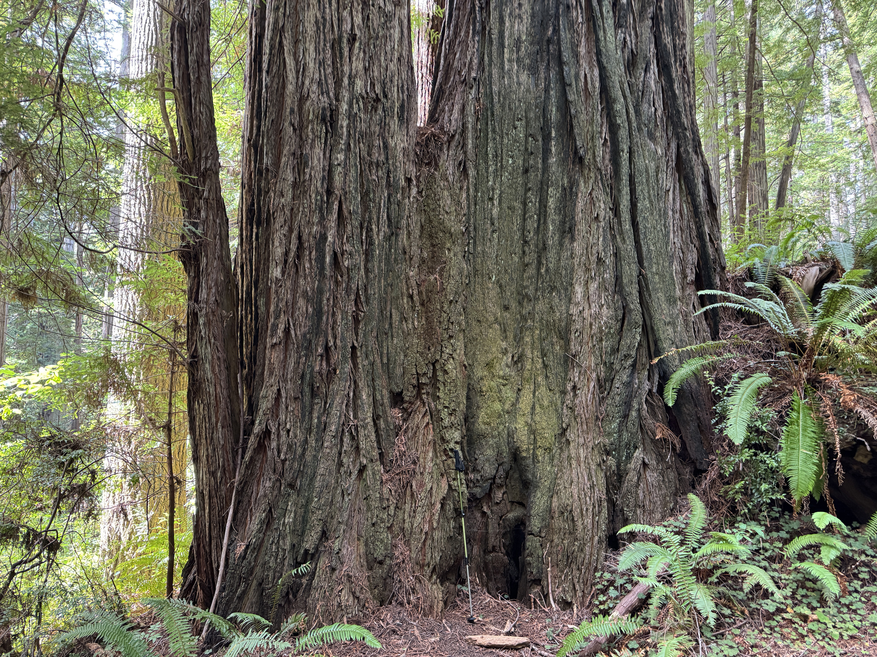
Hiking stick around 4′ 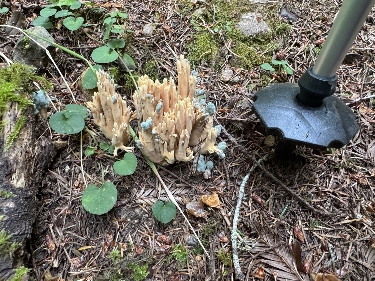
4′ hiking stick 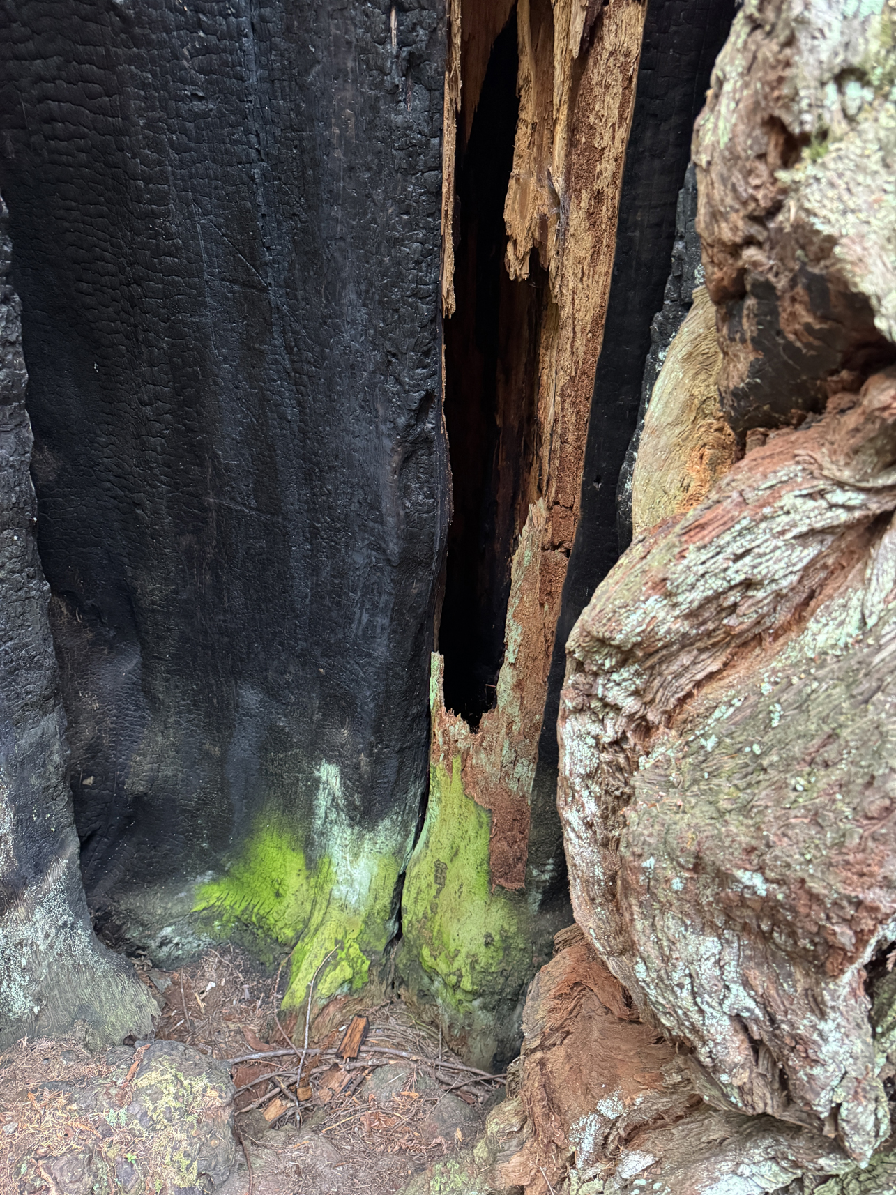
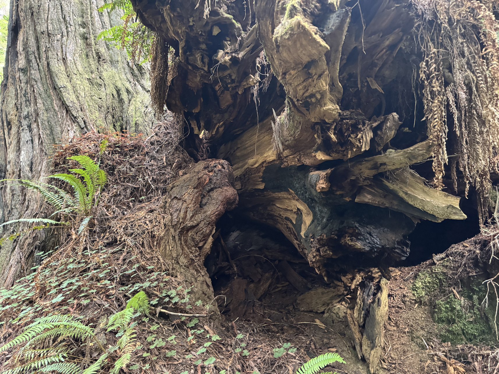
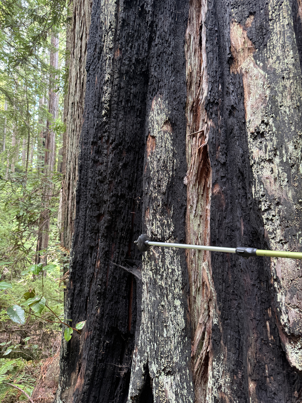
Old fire damage. Silver portion of hiking stick around 1 foot 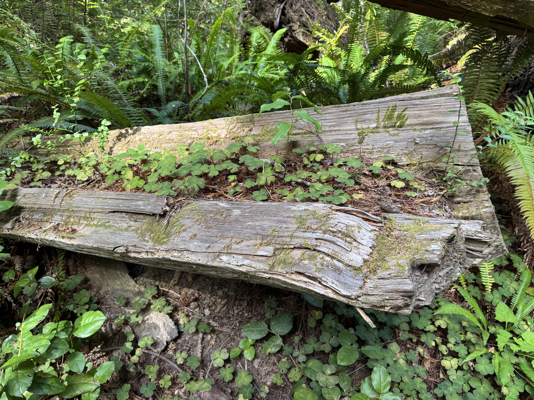
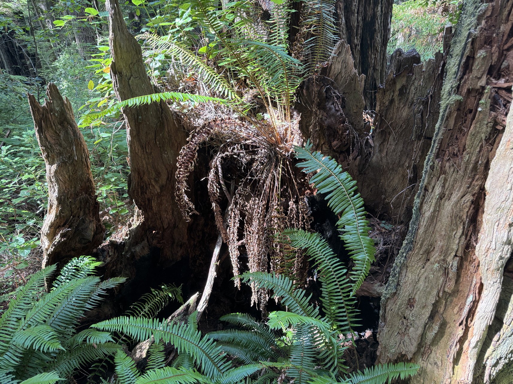
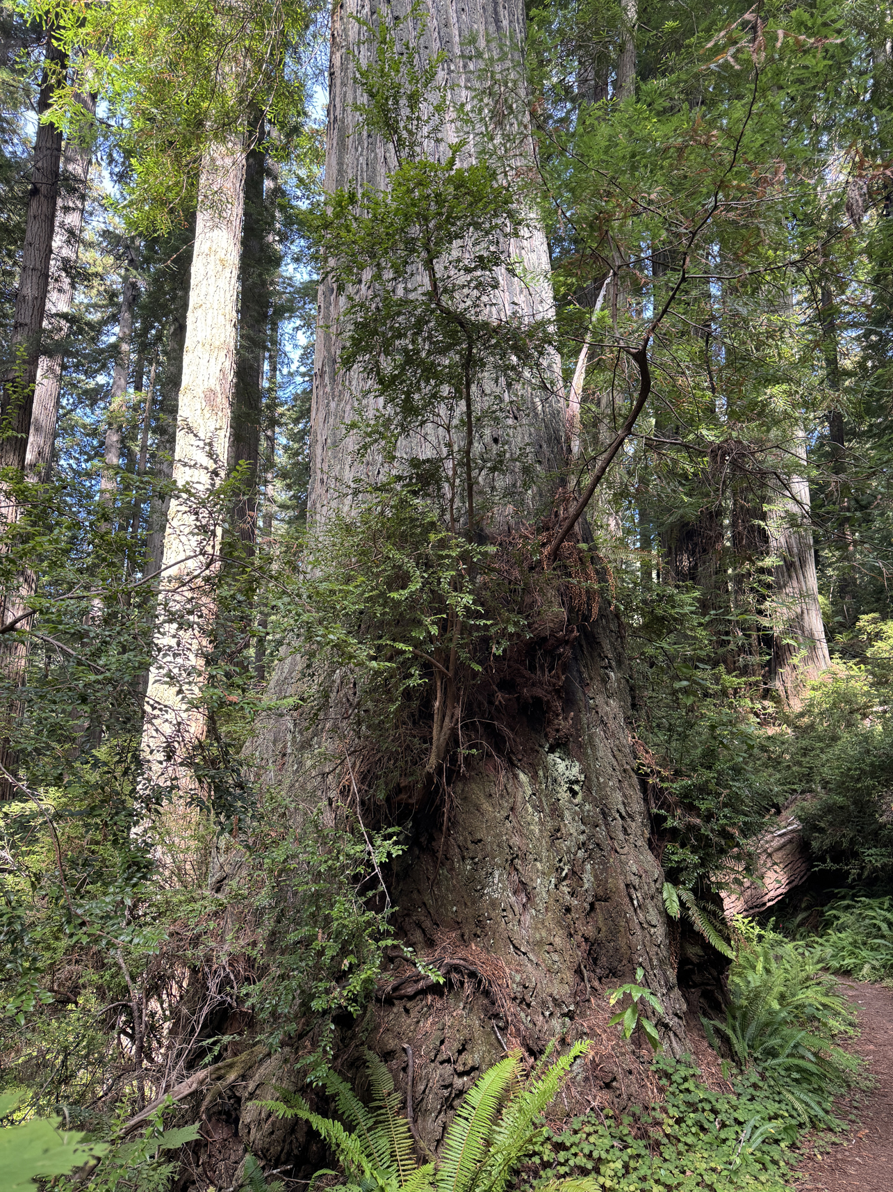
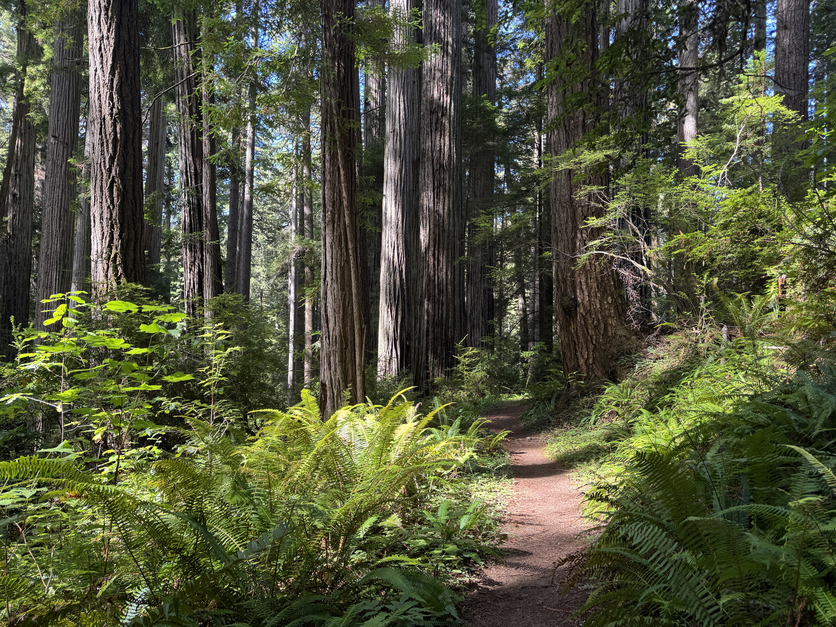
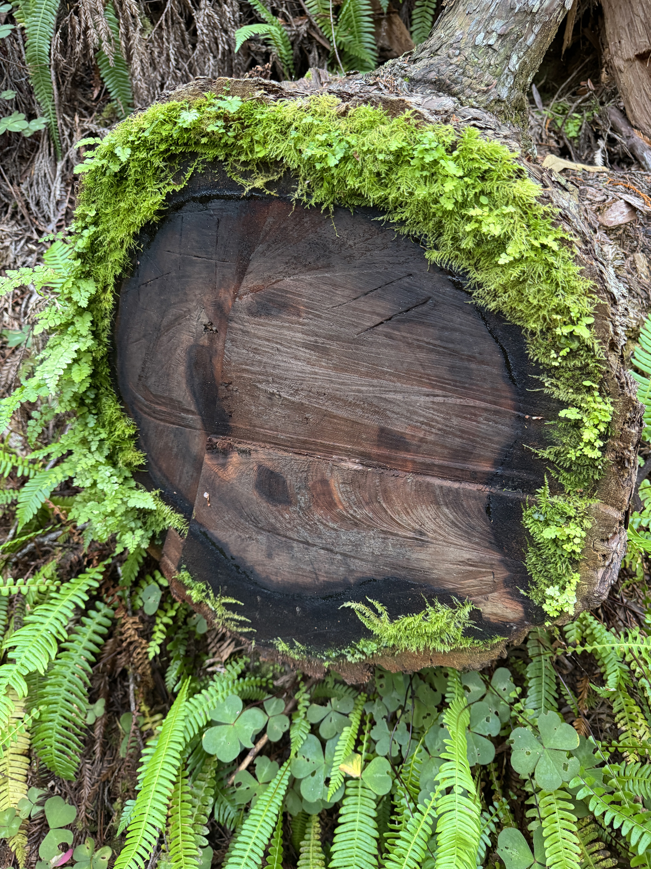
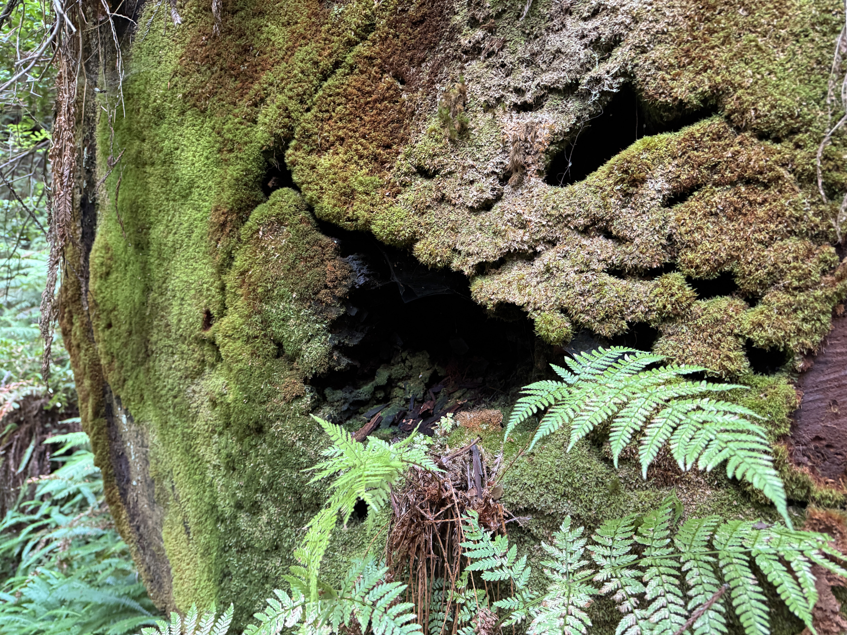
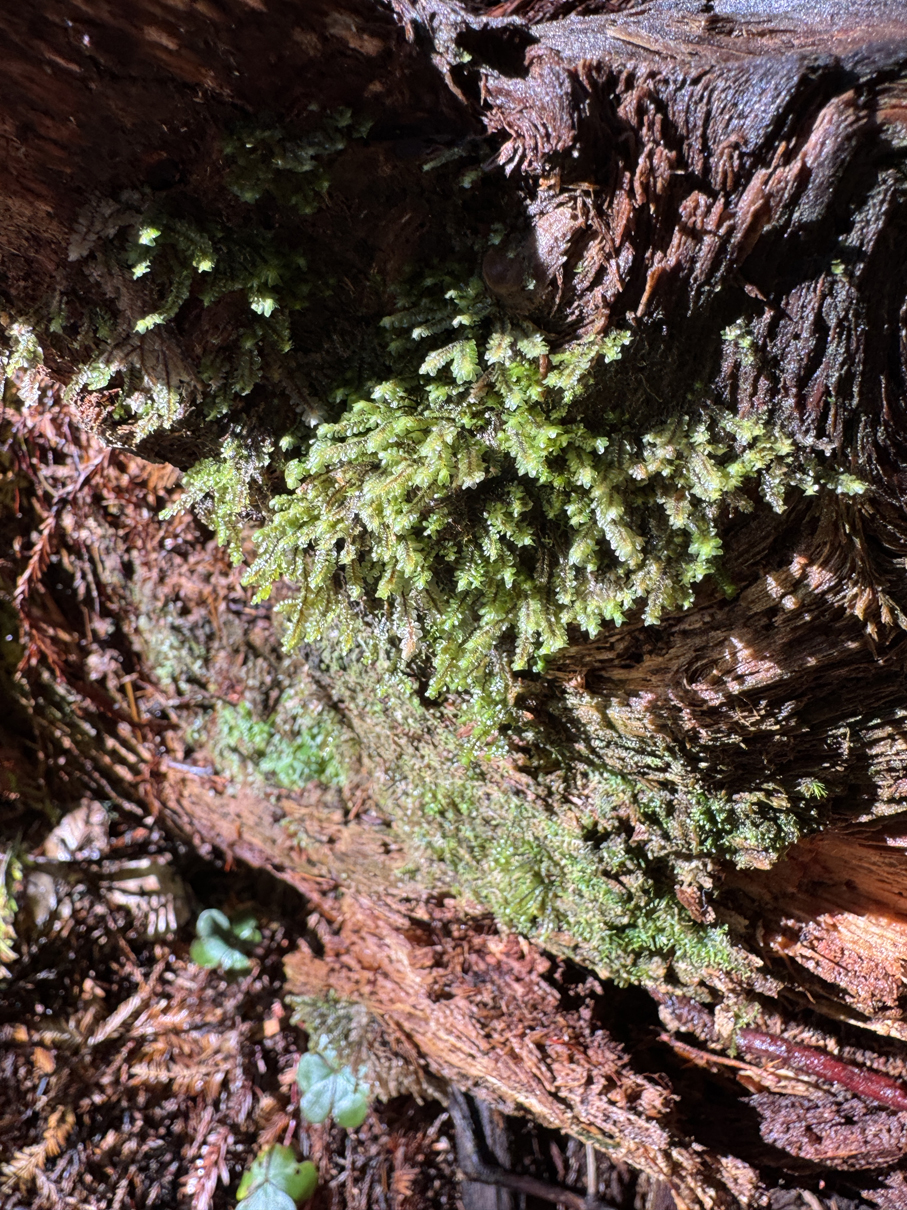
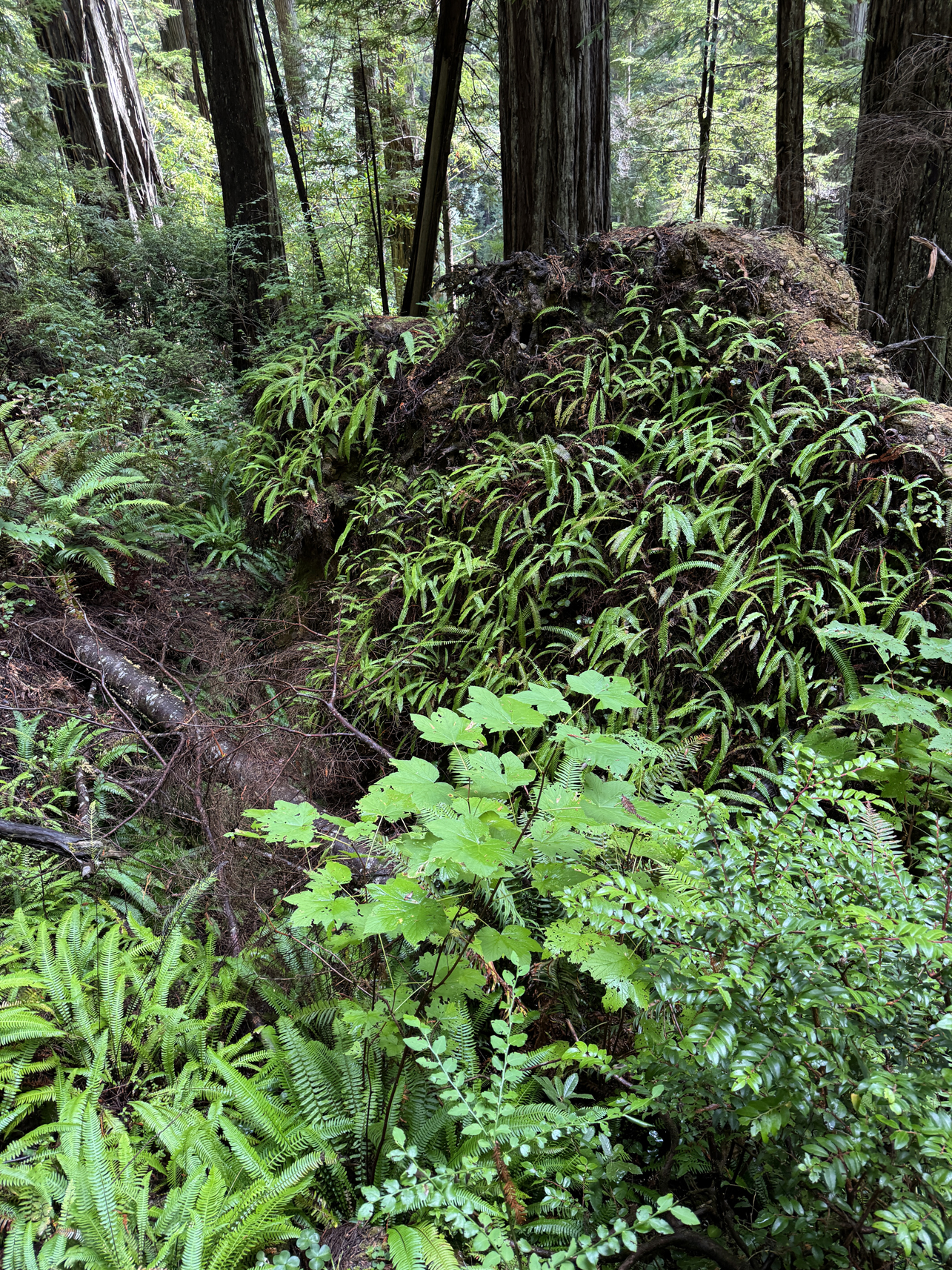
Plantlife seemed to like the gap between heartwood and bark 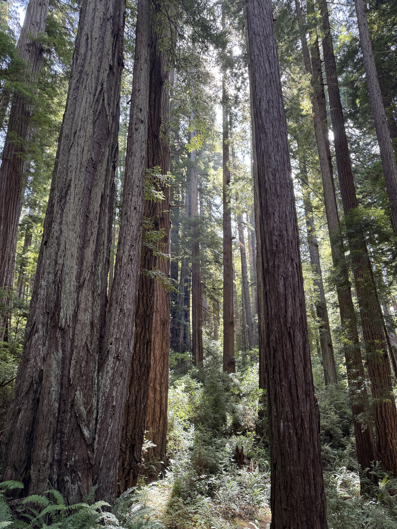
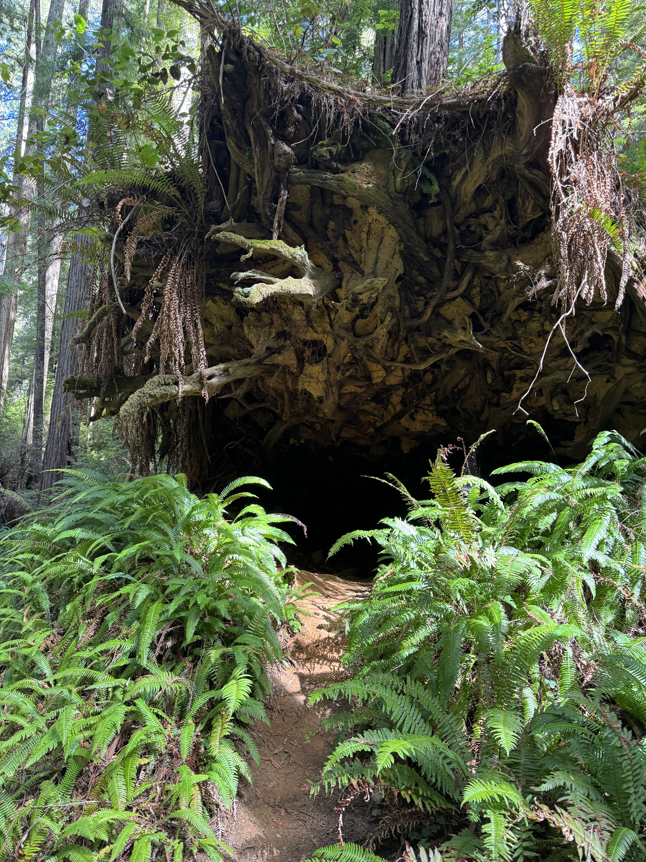
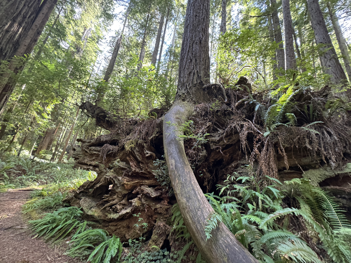
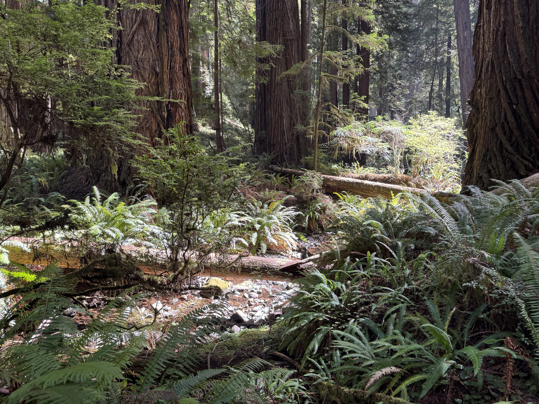
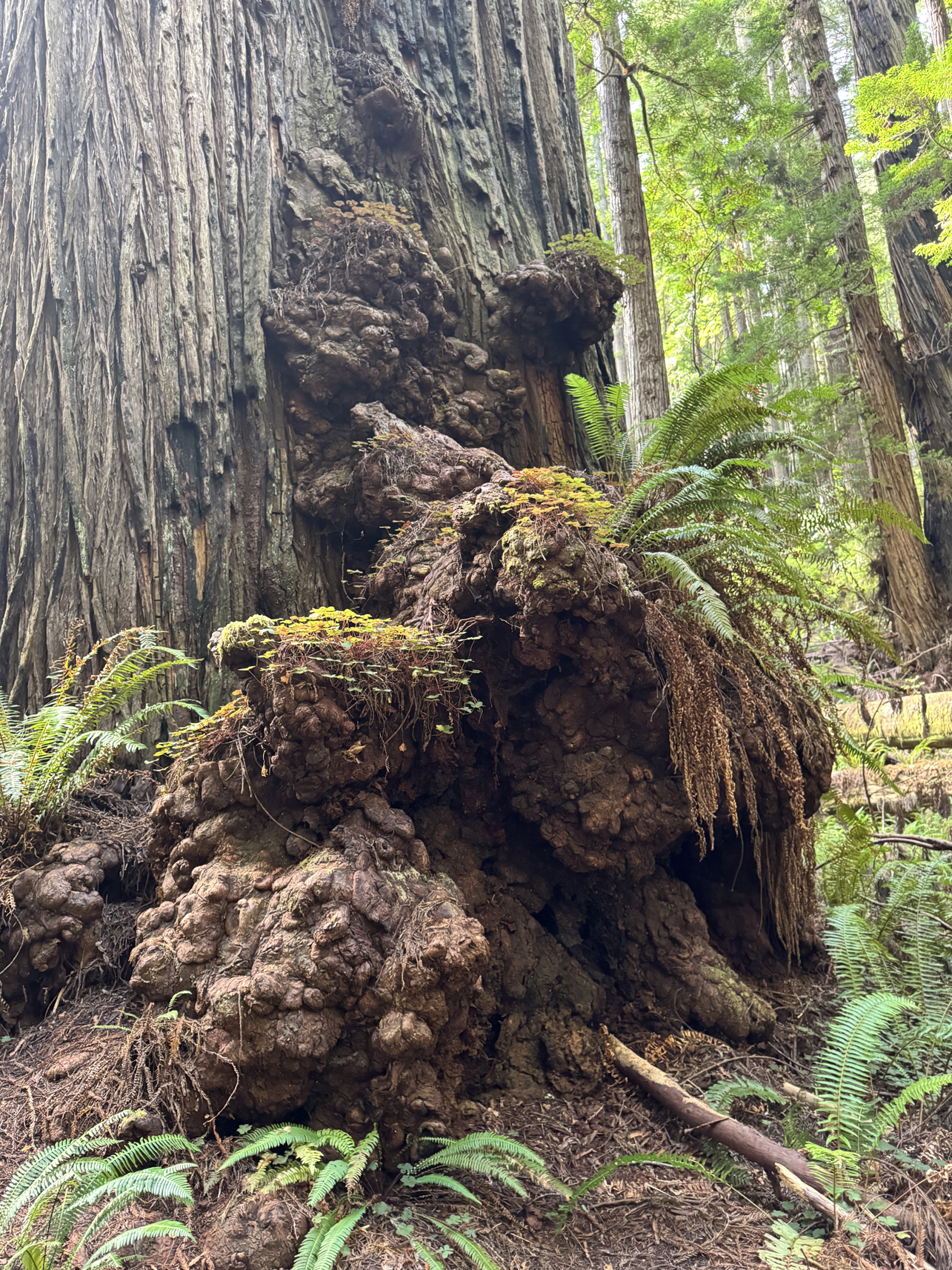
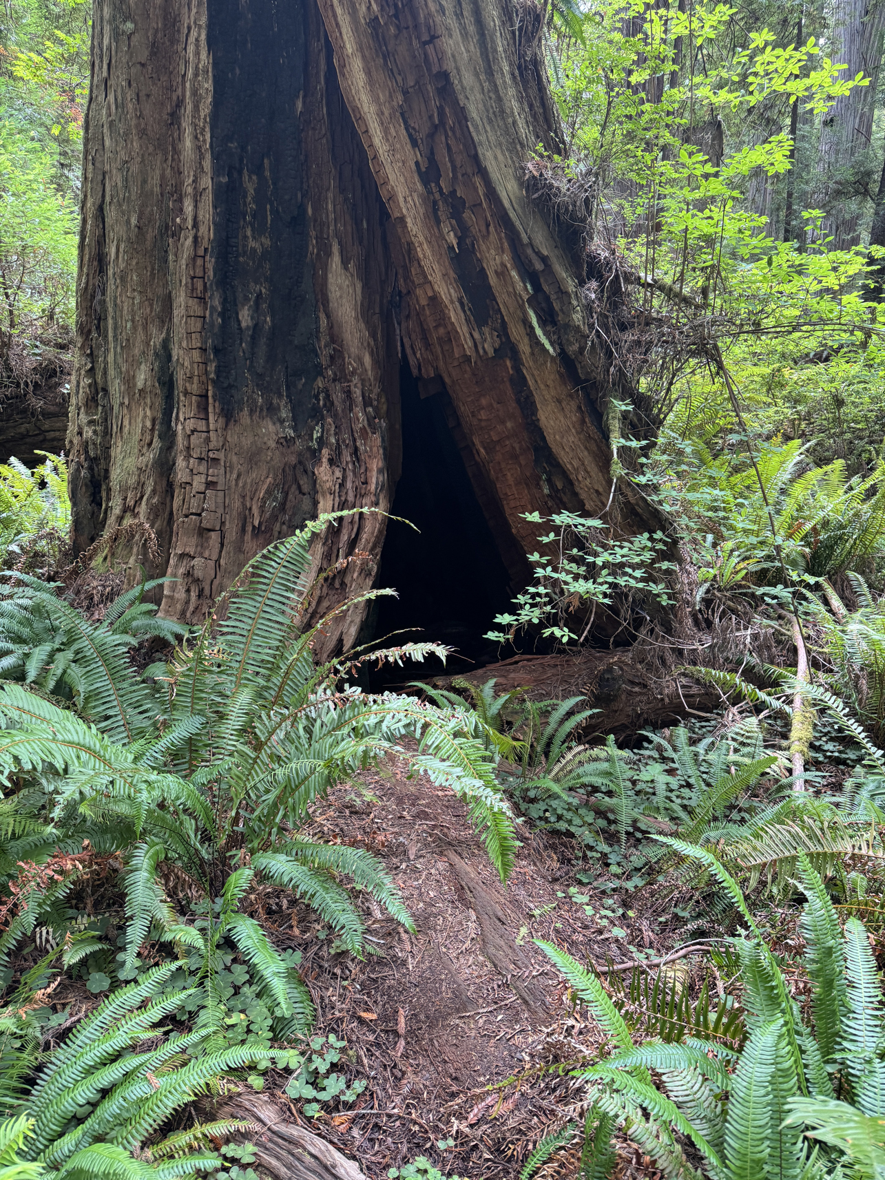
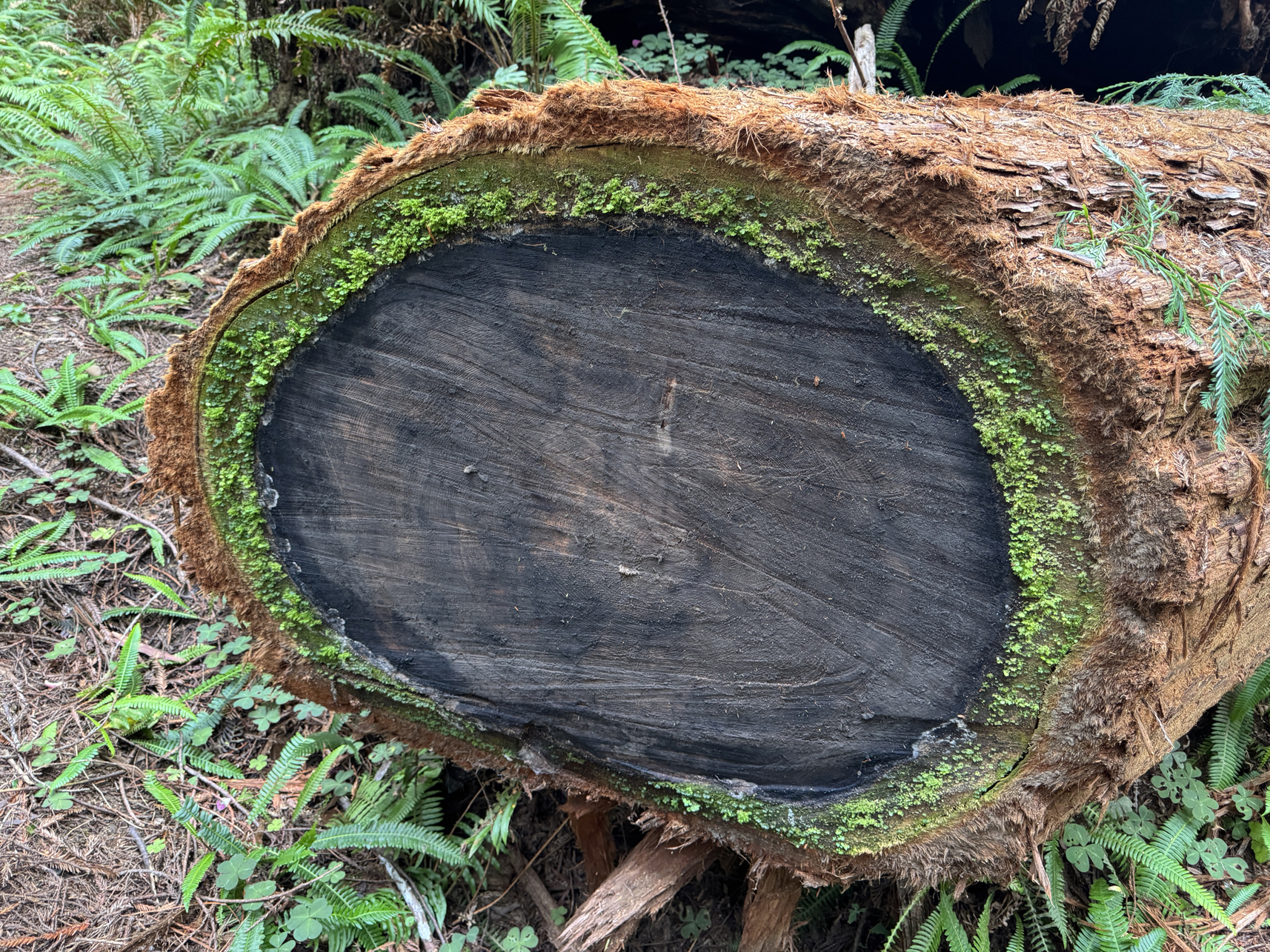
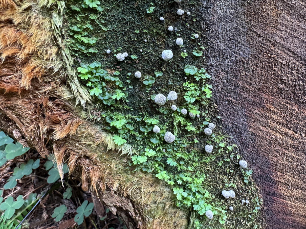
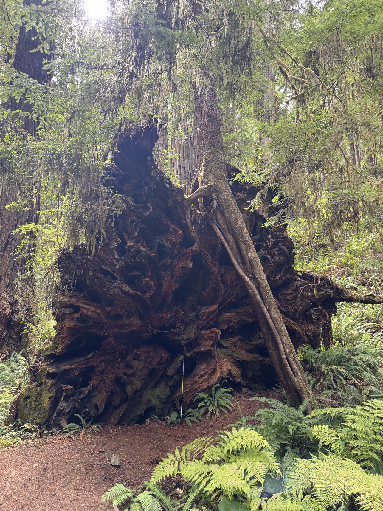
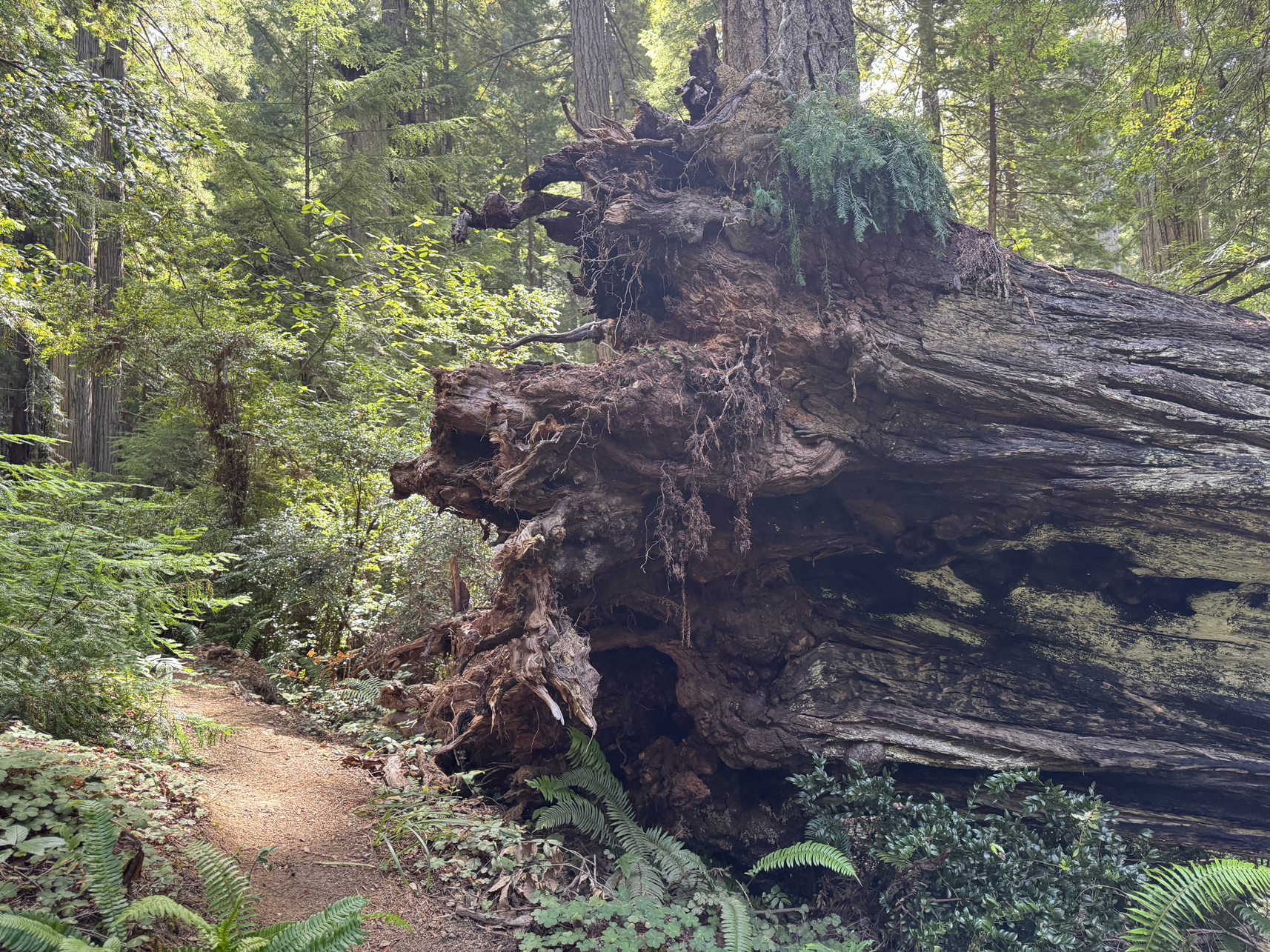
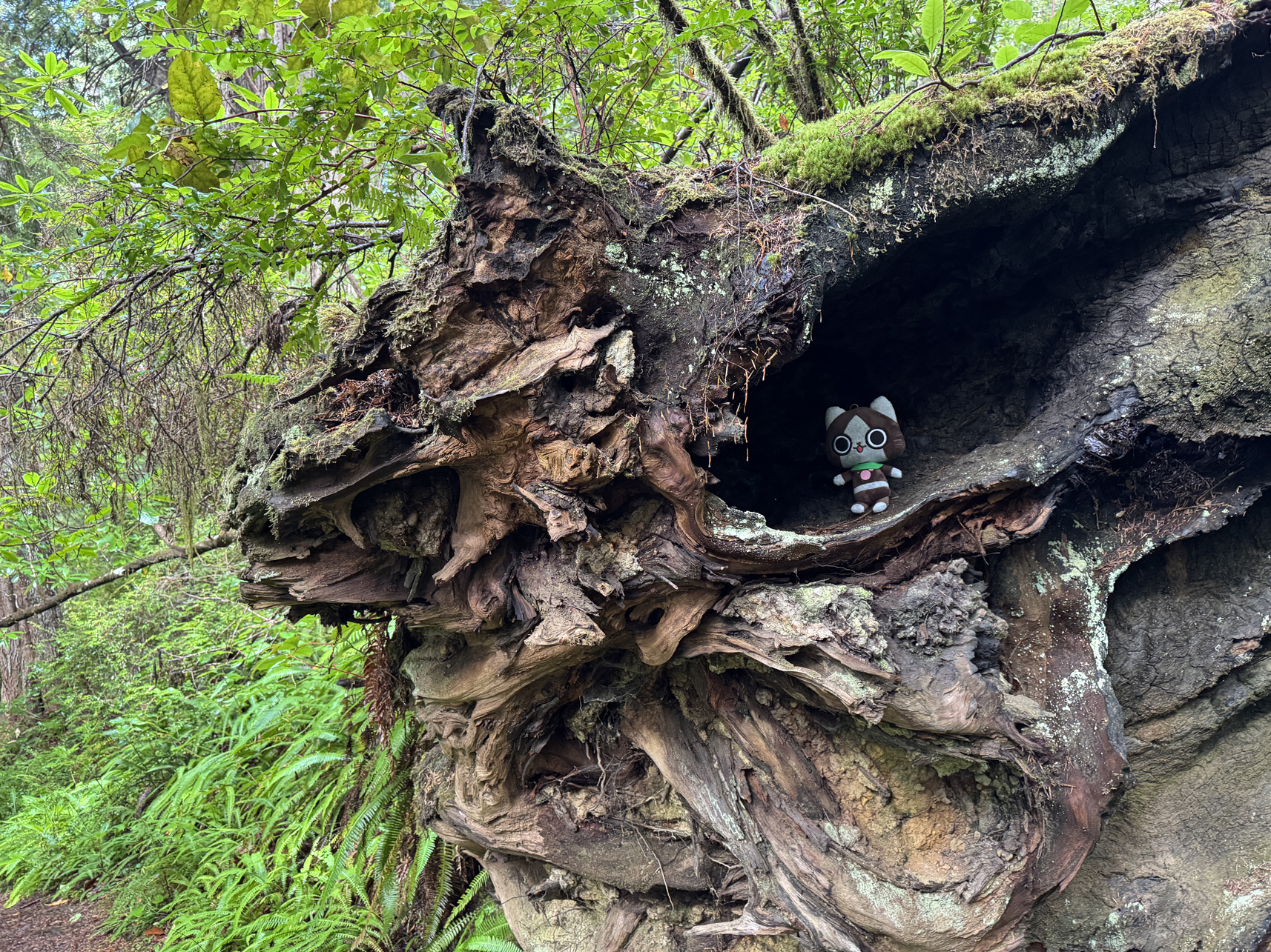
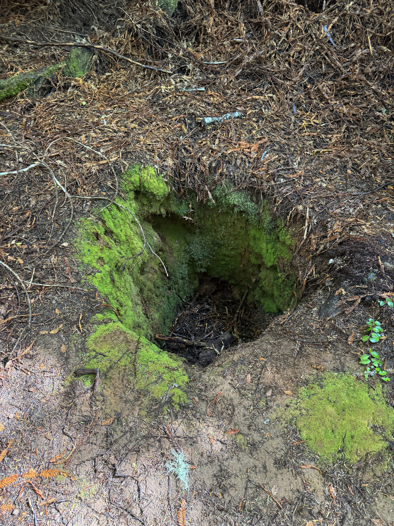
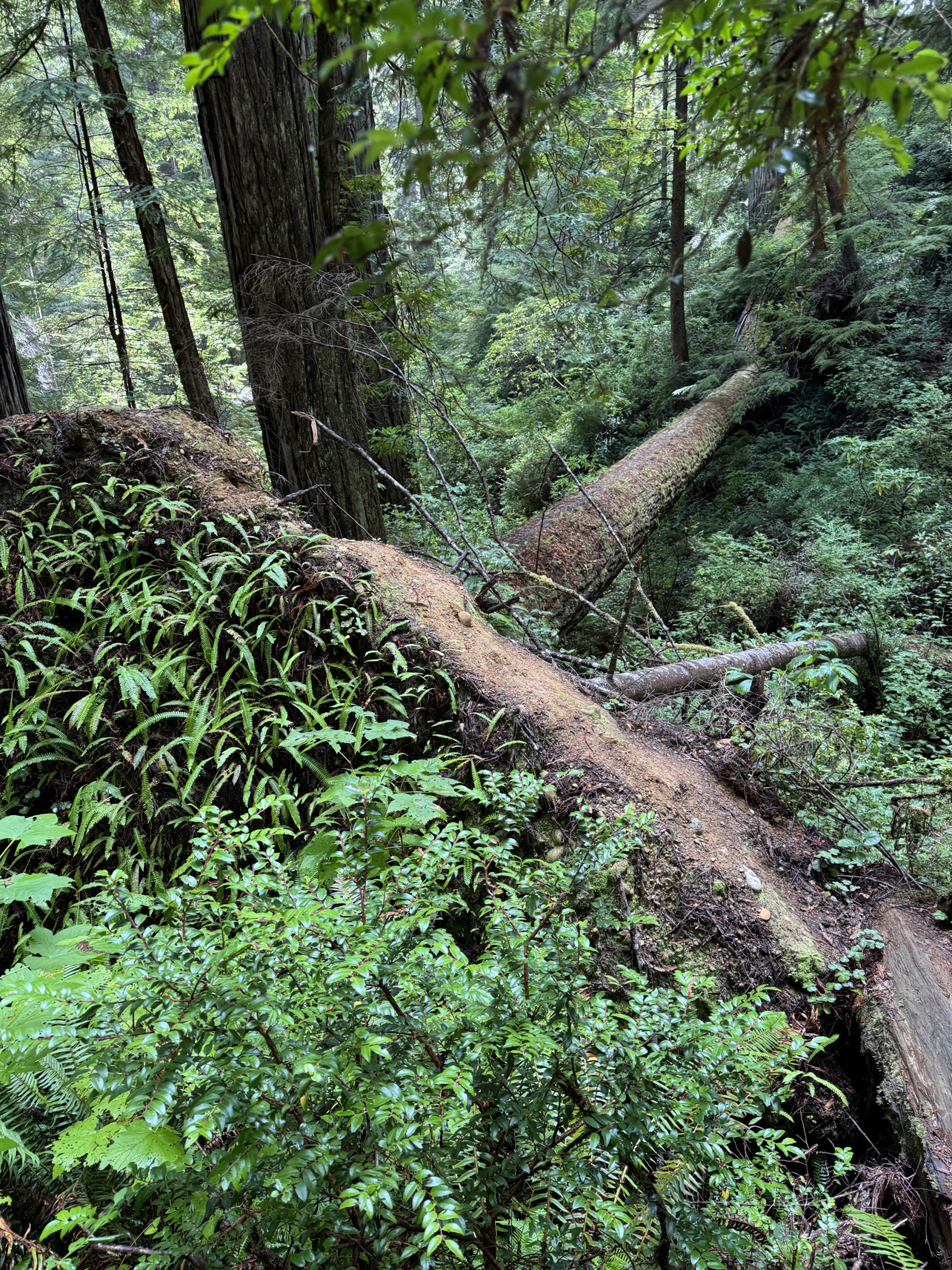
Upturned roots of tree. Hiking stick 4′ long 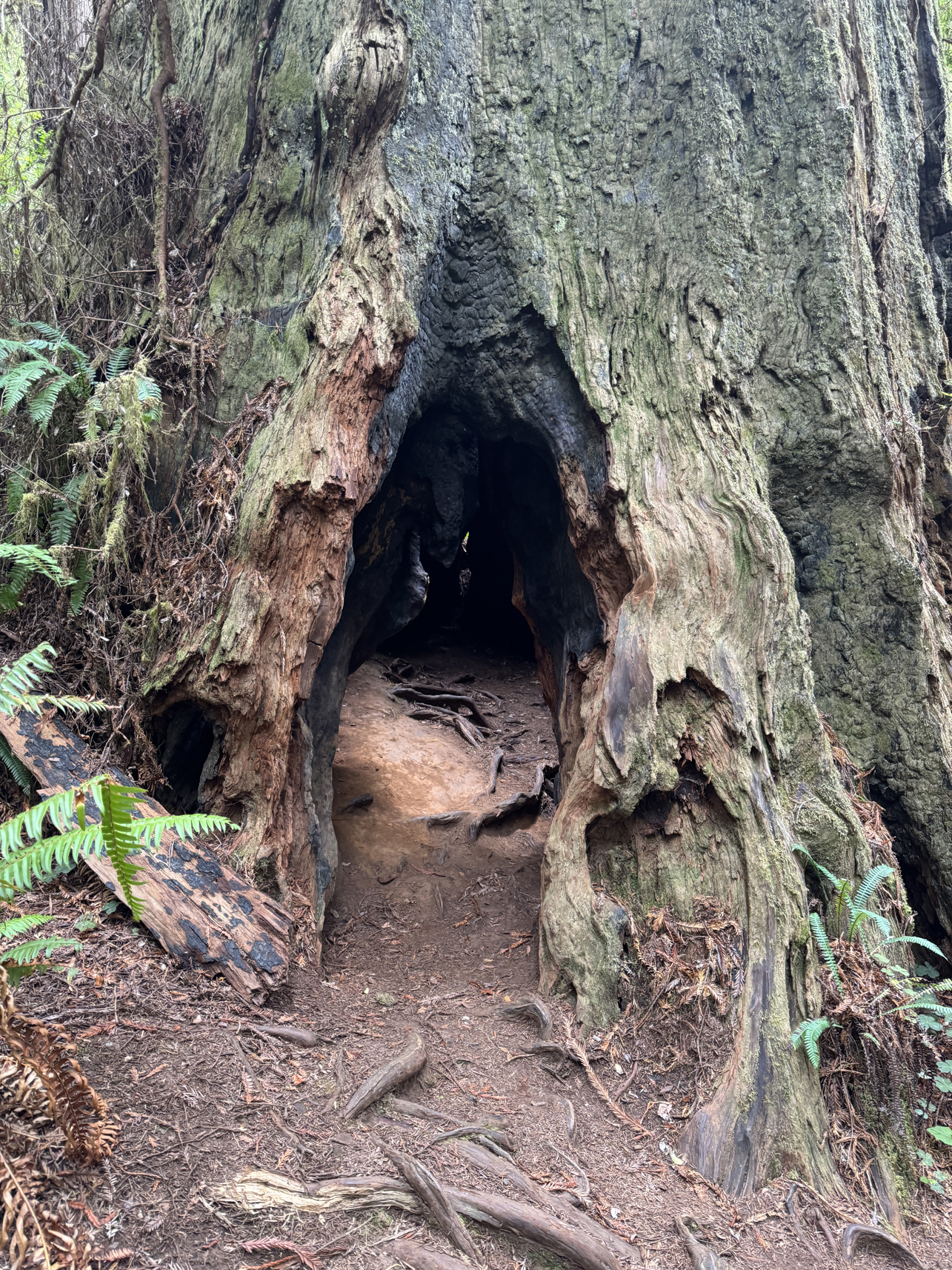
Hollowed trunk allowing sunlight in
Overview:
Second day visiting Redwood National Park.
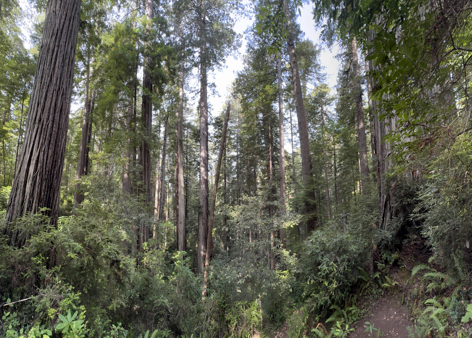
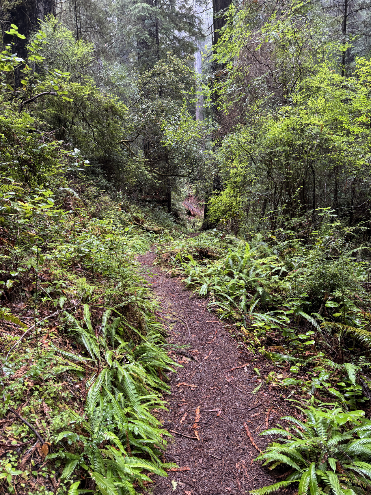
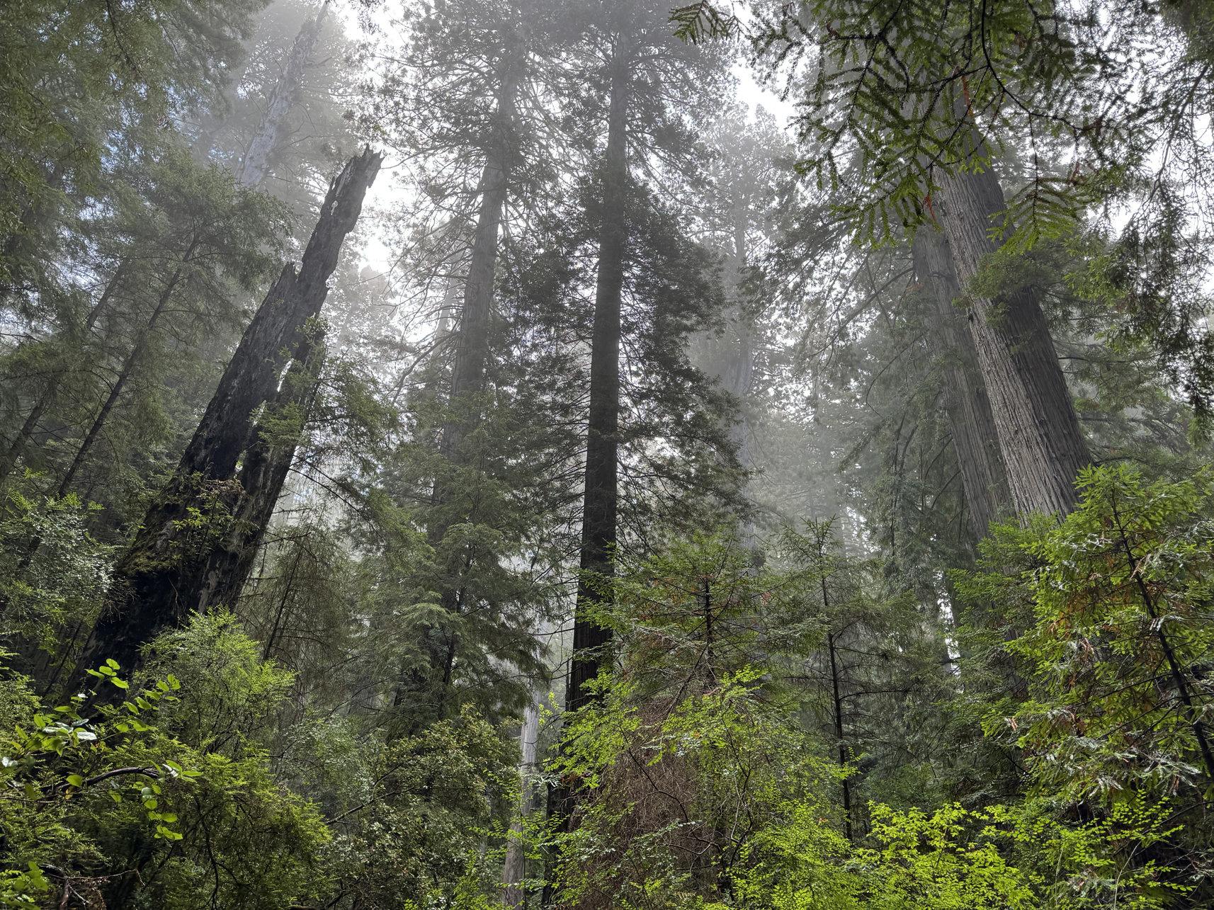
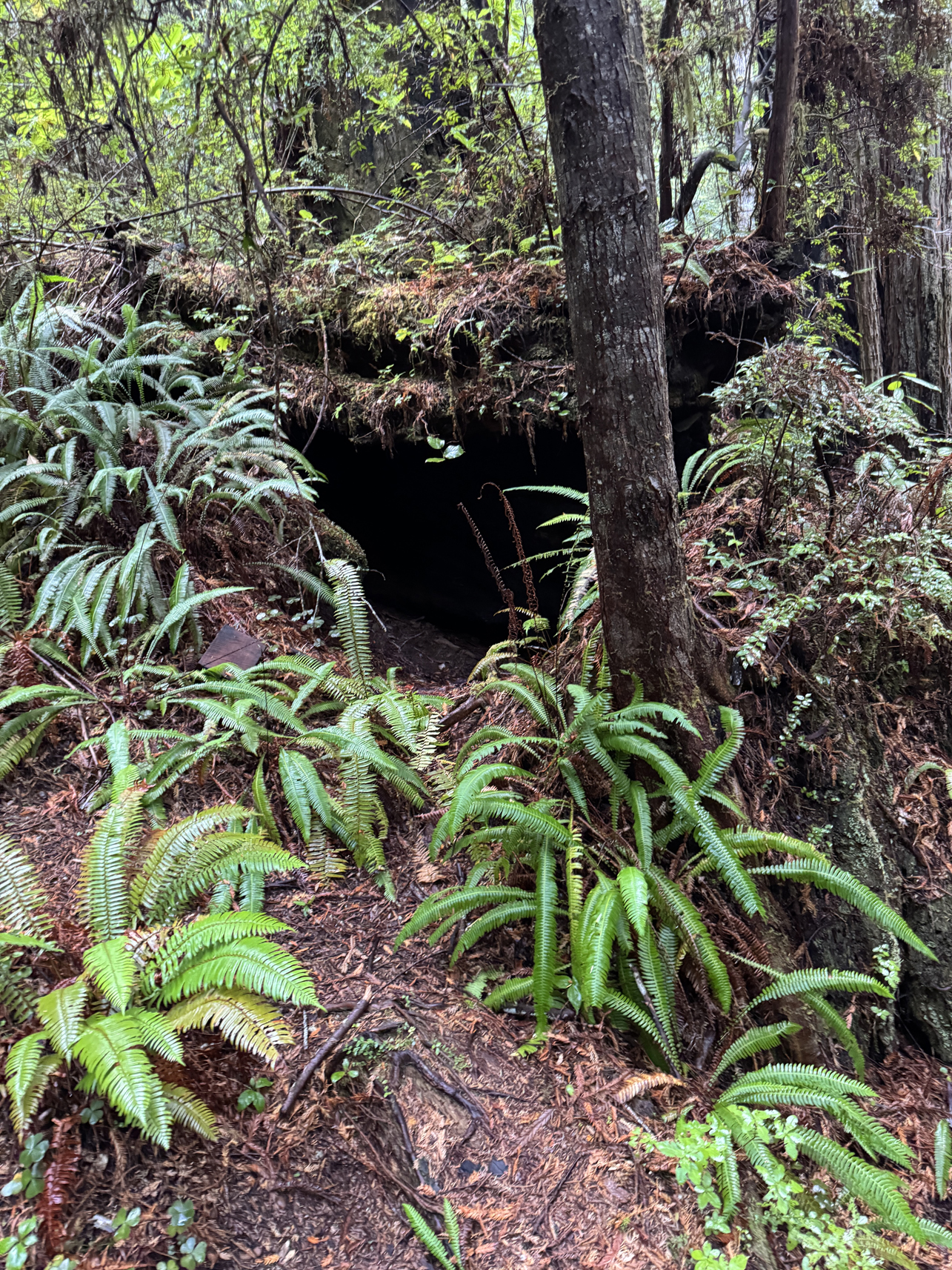
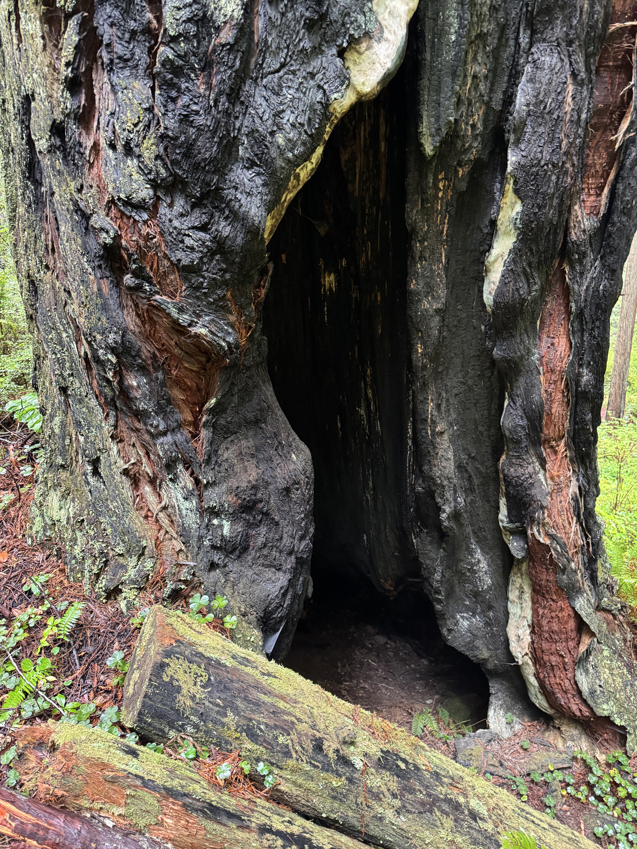
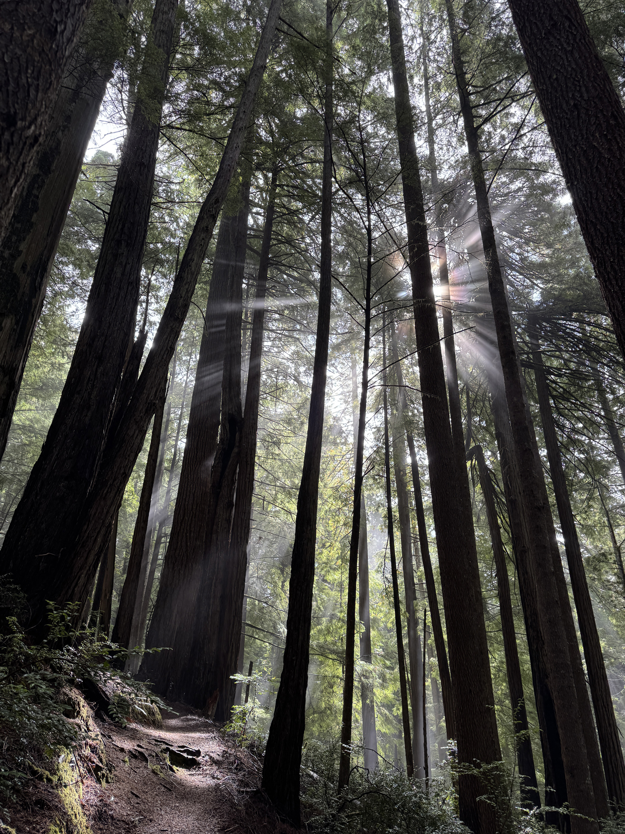
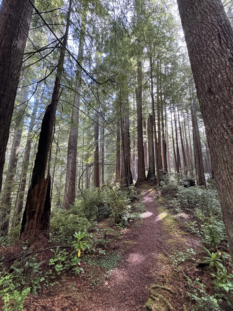
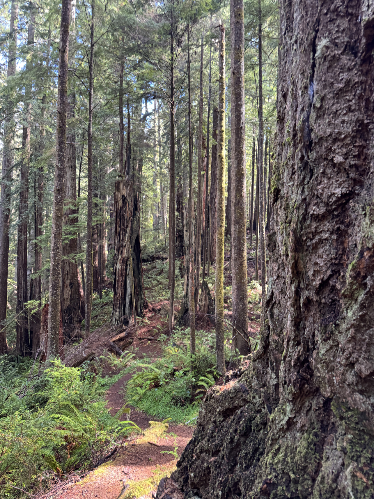
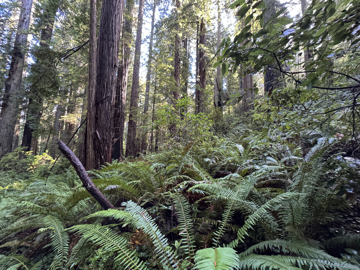
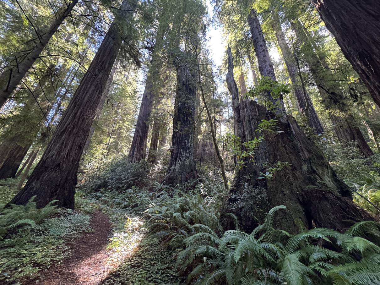
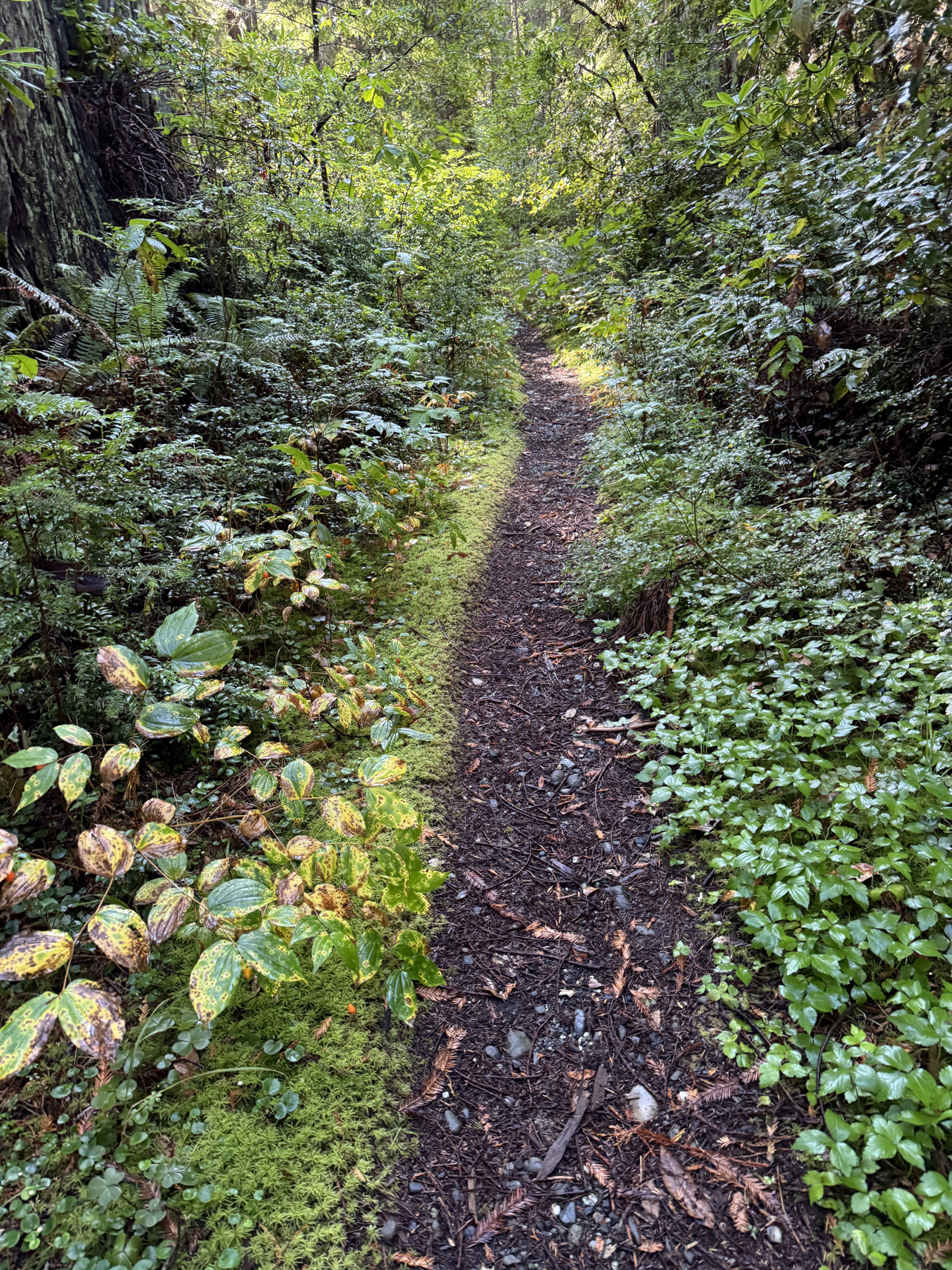
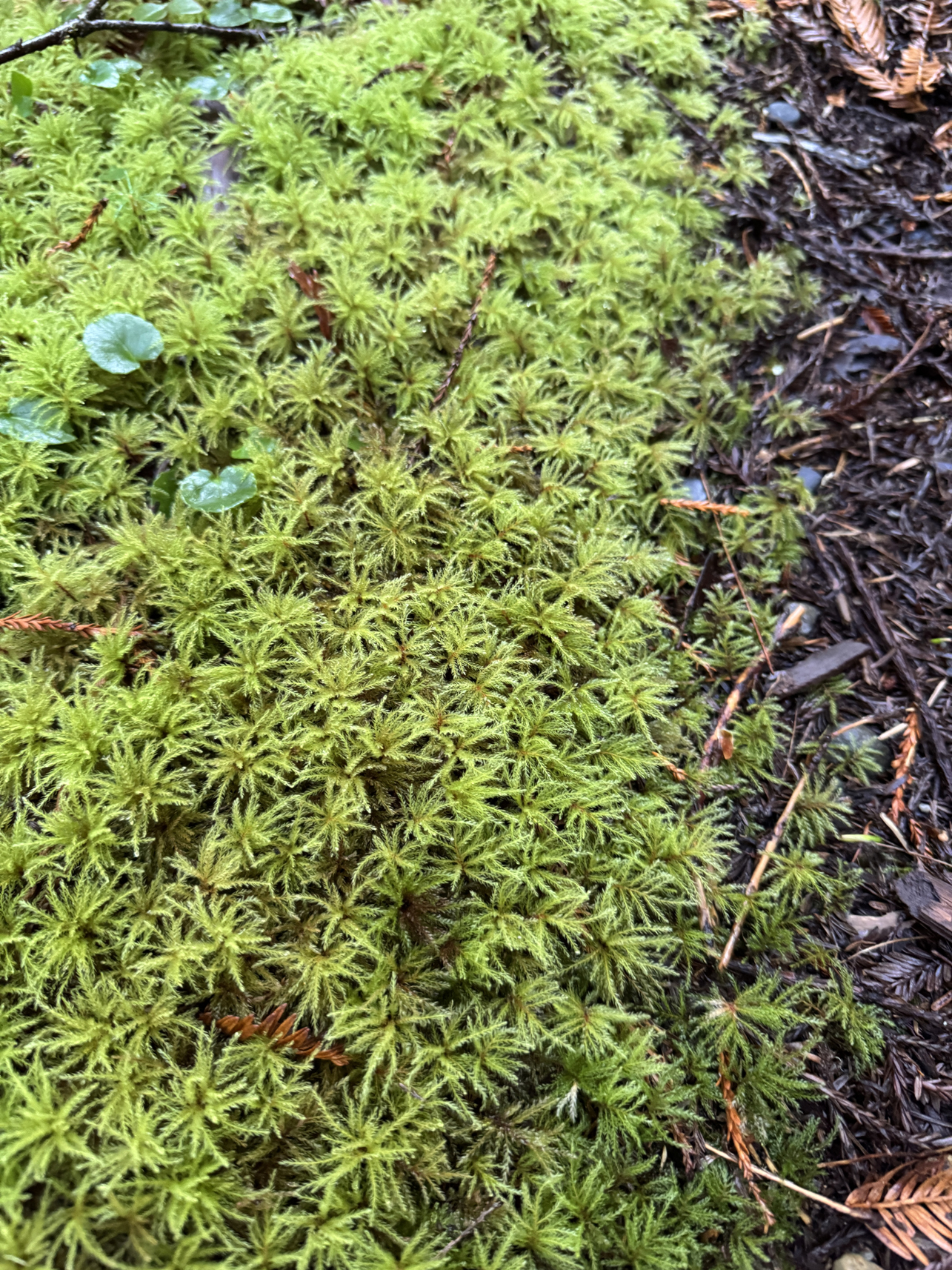
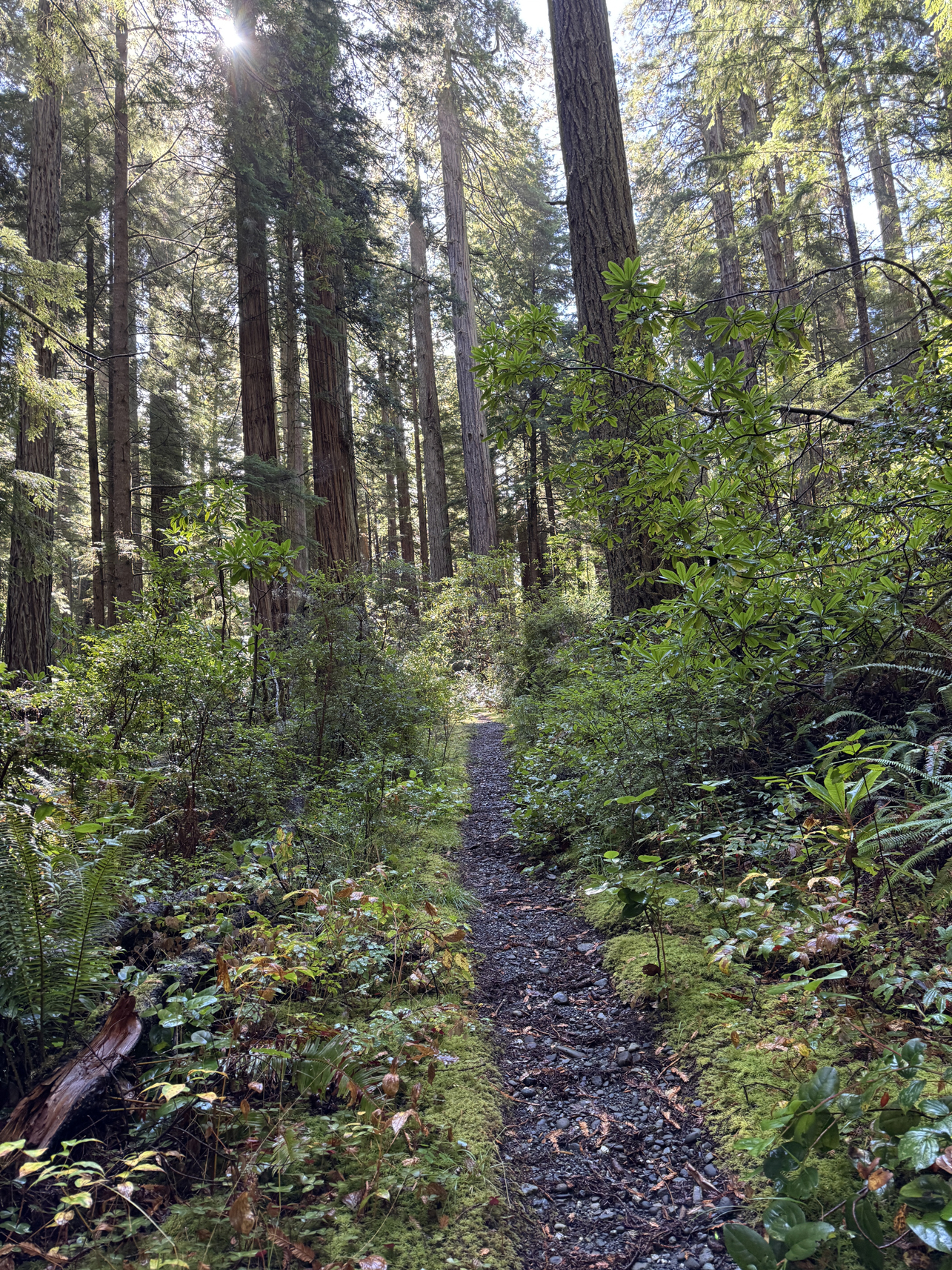
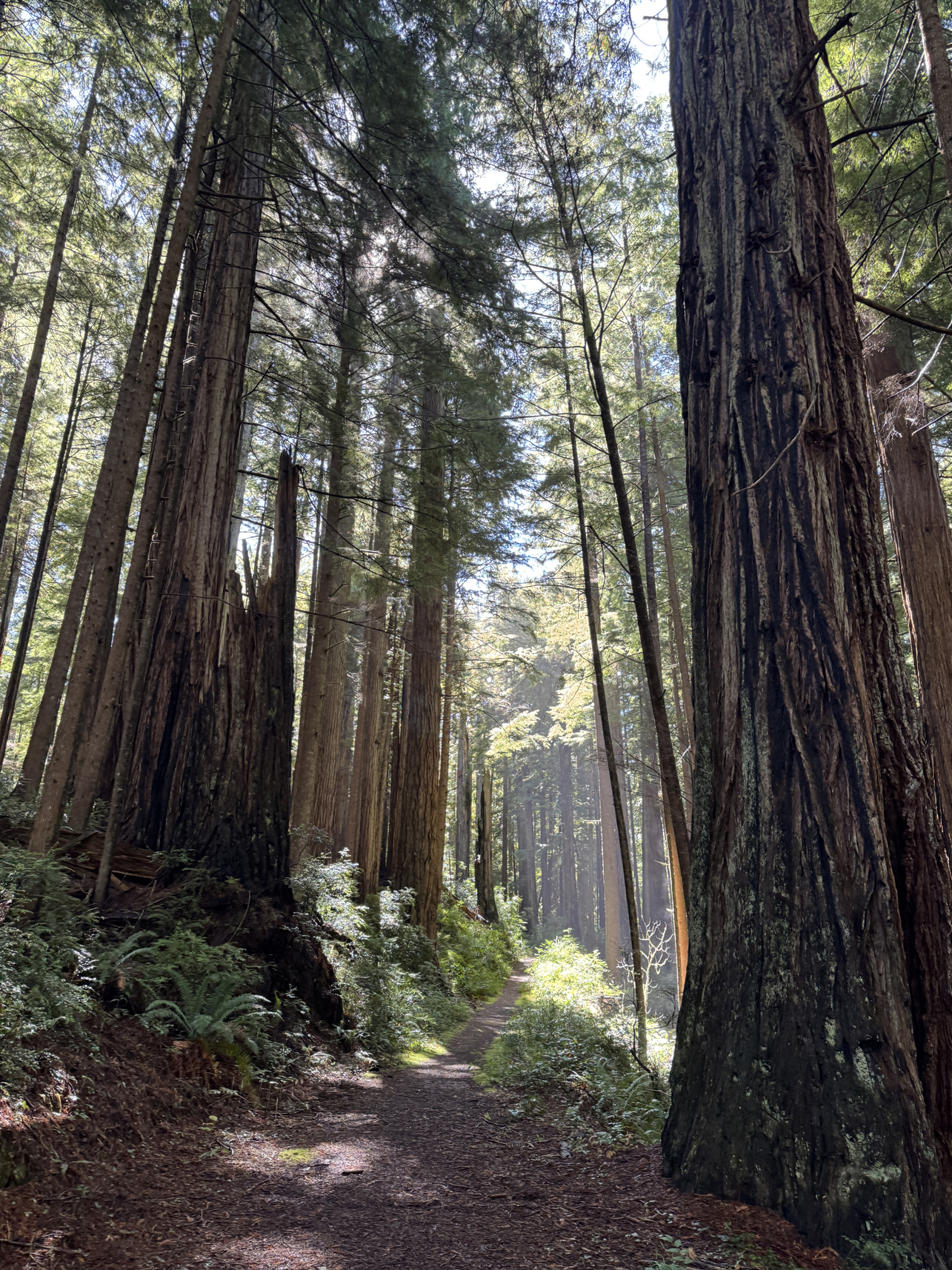
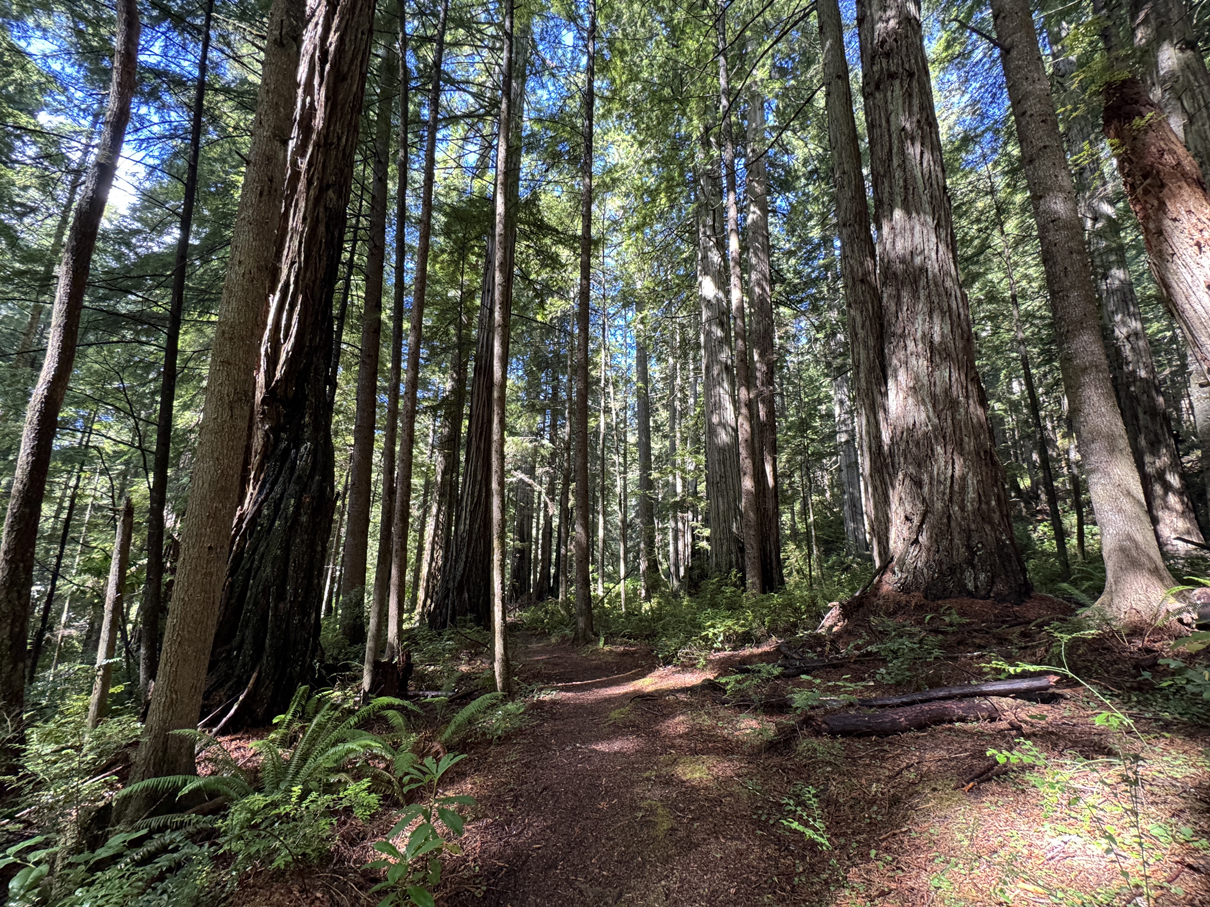
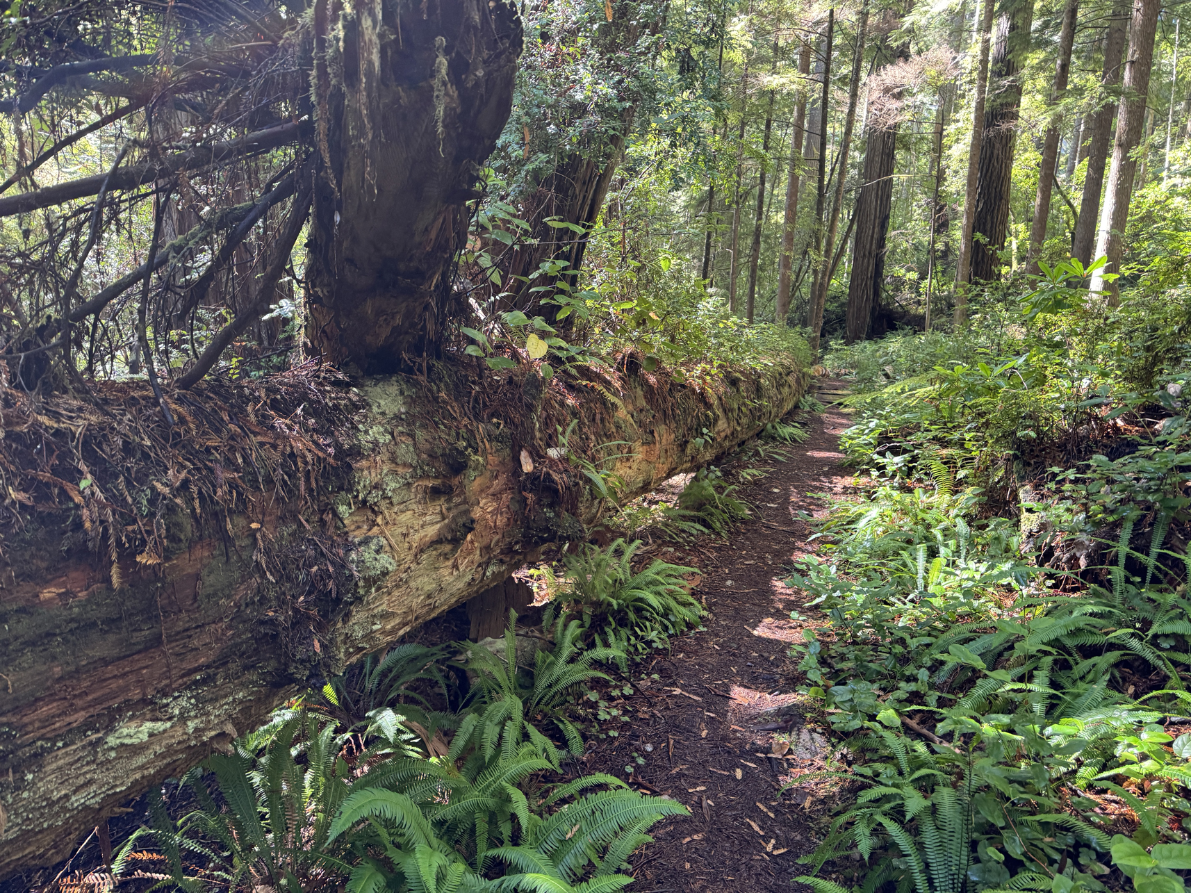
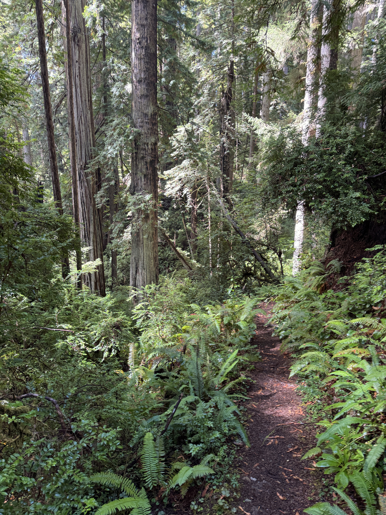
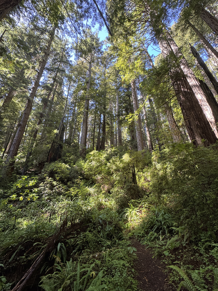
Drove straight to the Hope Creek > Ten Taypo Trail. The night before it had rained heavily for a couple of hours, so the air was misty and the sounds of water dripping through leaves was the only sound I could hear during the hike. Out of all of the hikes I would do during the trip, this trail was the nicest (partly due to the post-rain environment) and had some of the largest trees.
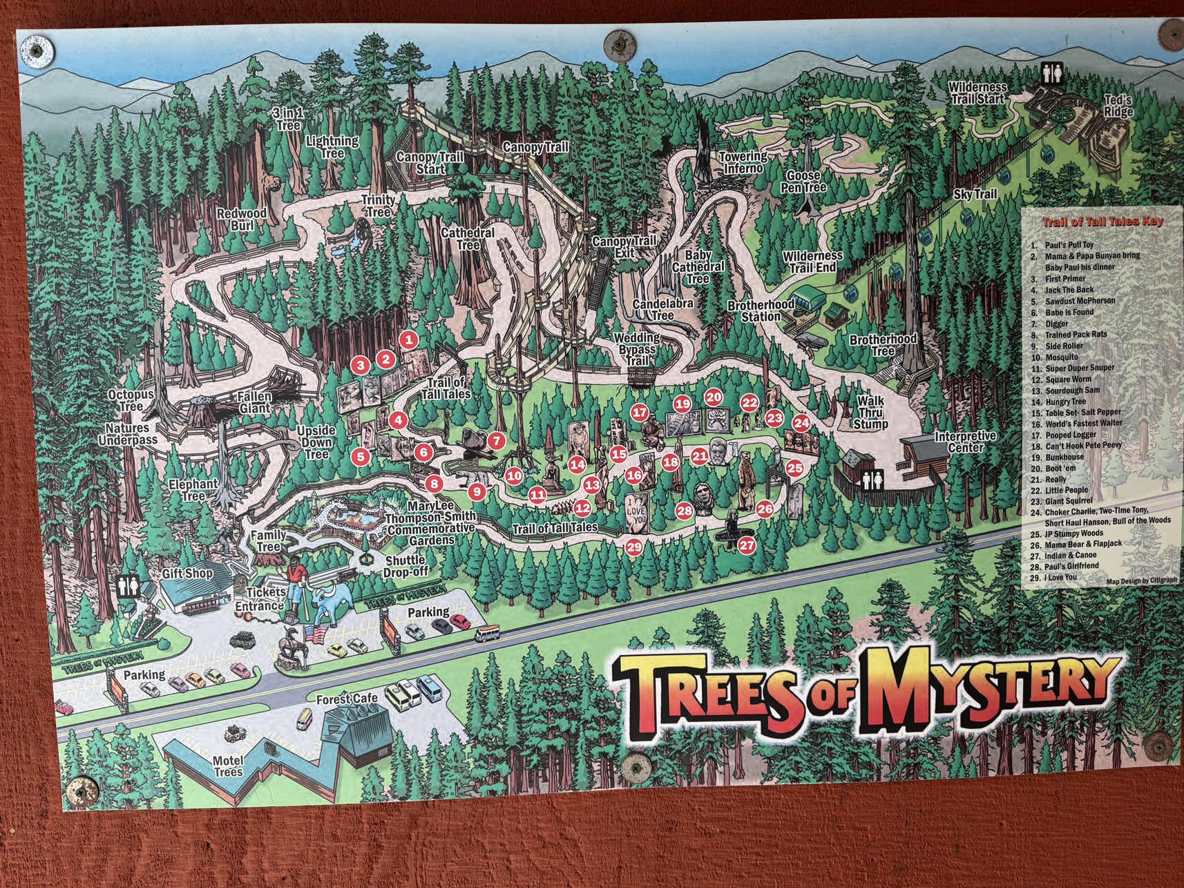
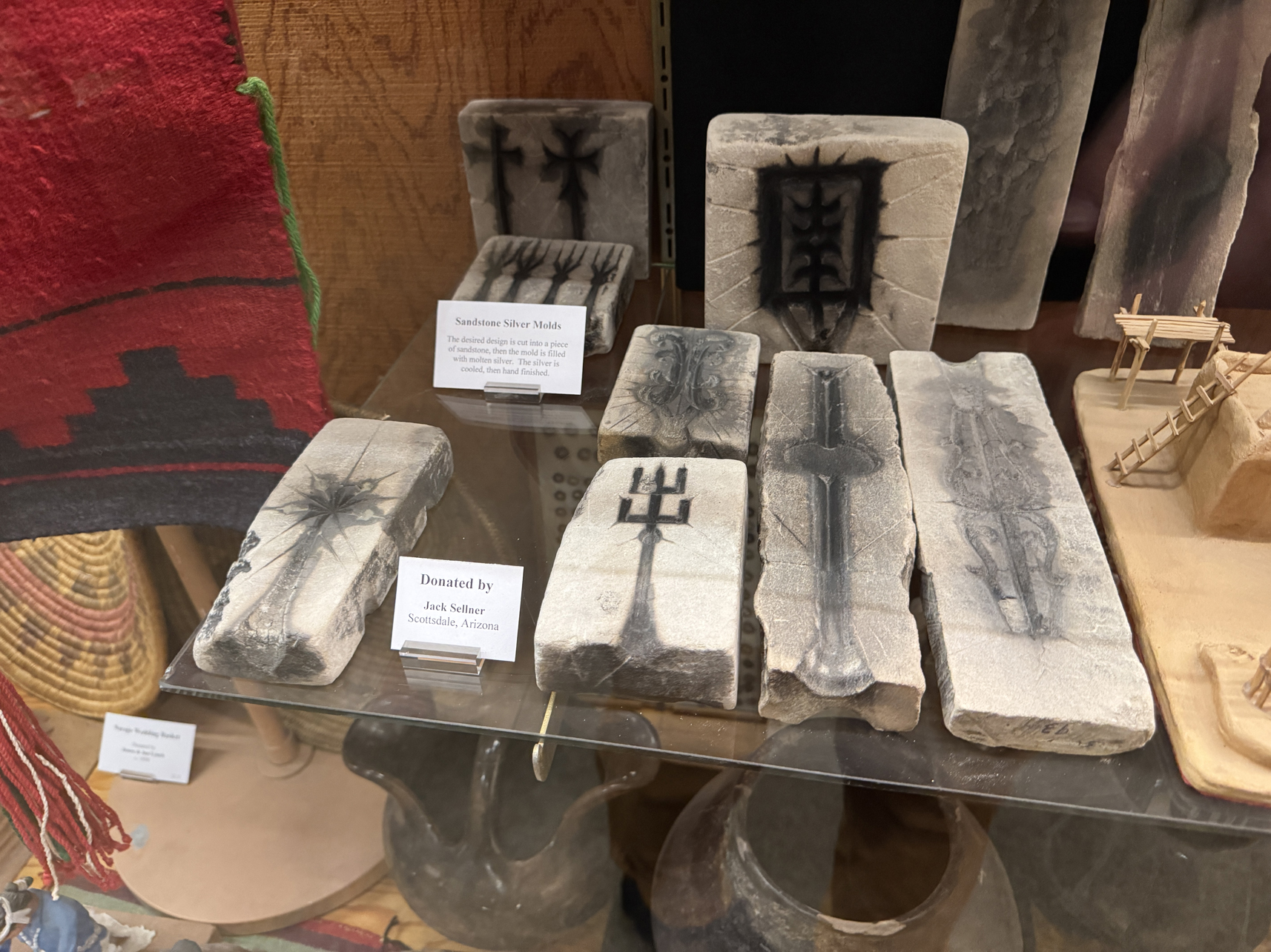
On the way back to Crescent City I stopped at the Trees of Mystery park and walked through their Native American mini-museum.
Back in Crescent City I drove down to the Crescent Beach Overlook / Coastal Trail to watch a west coast sunset.
Journey: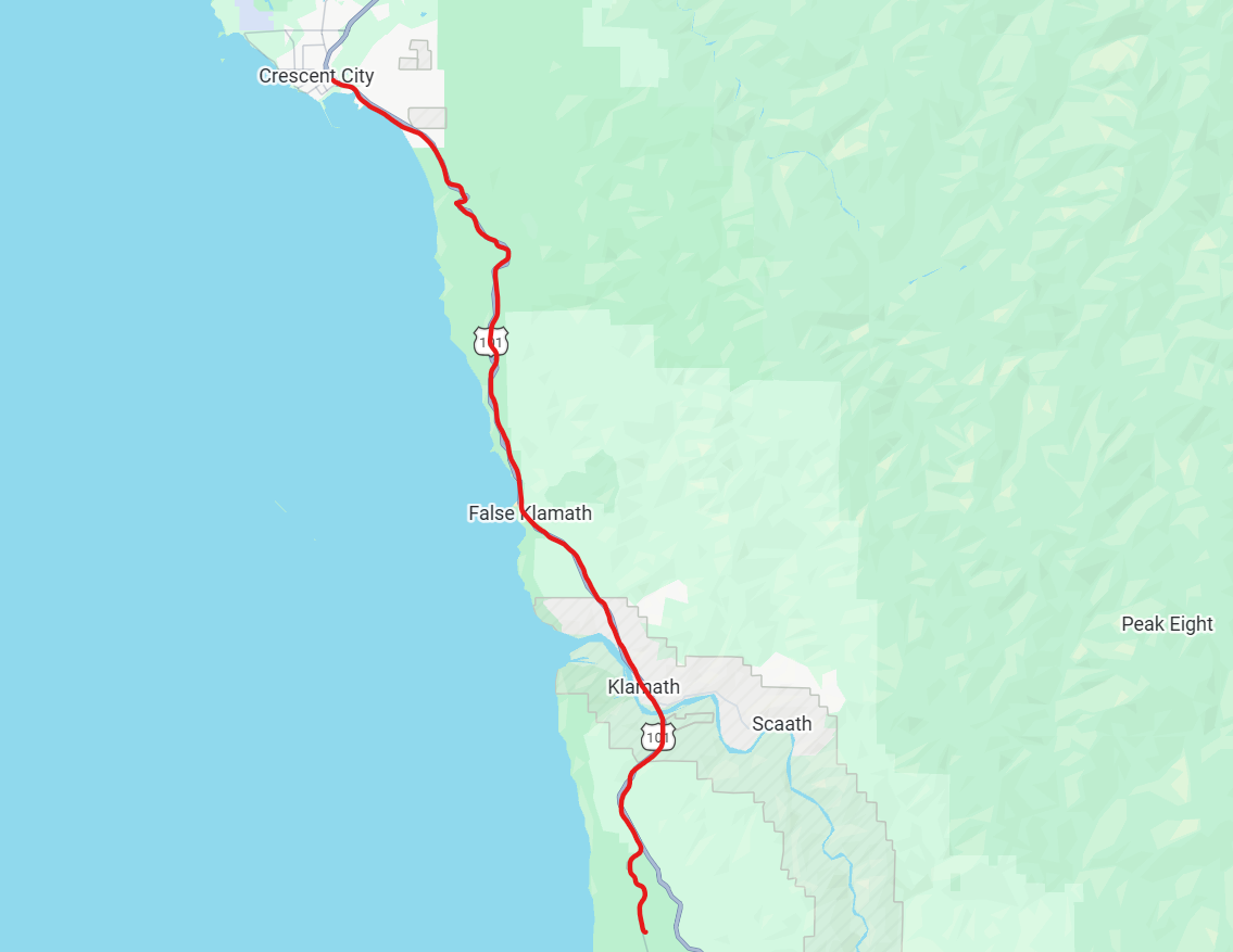
Drive down to the trailhead.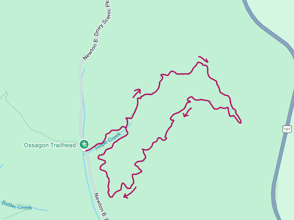
Hope Creek > Ten Taypo trail route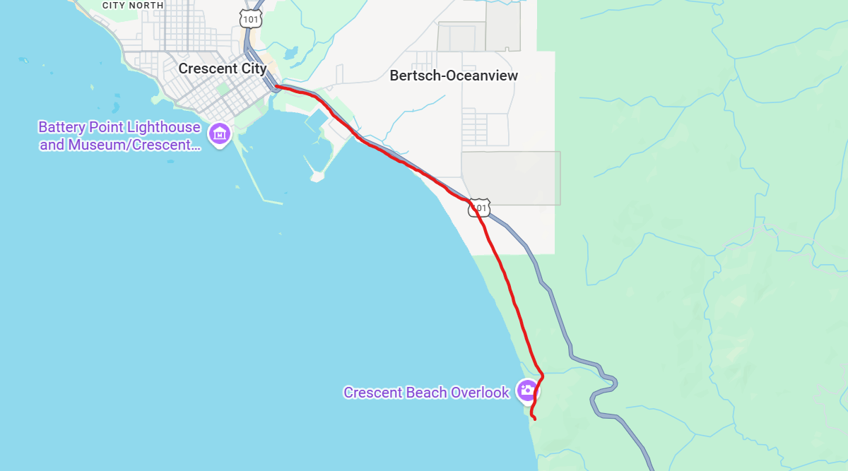
Drive to Crescent Beach Overlook
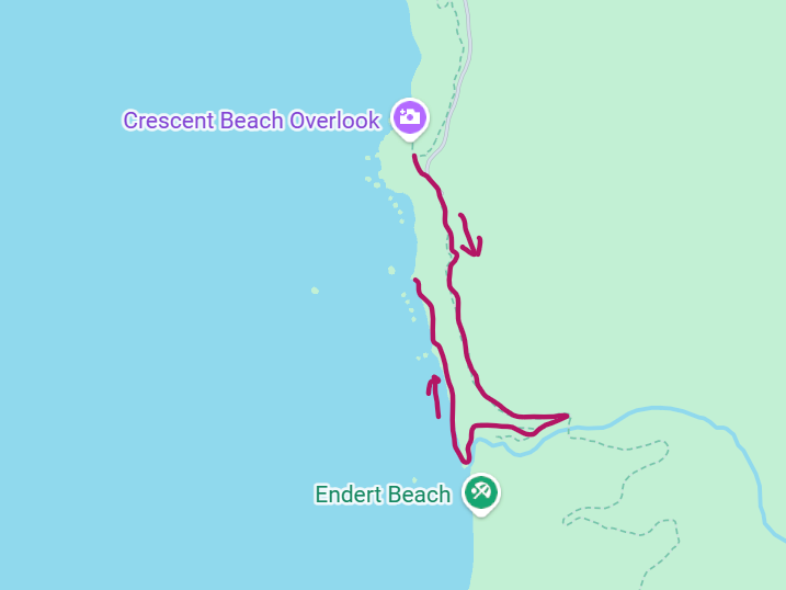
Walk down to the beach along the Coastal Trail
Gallery:
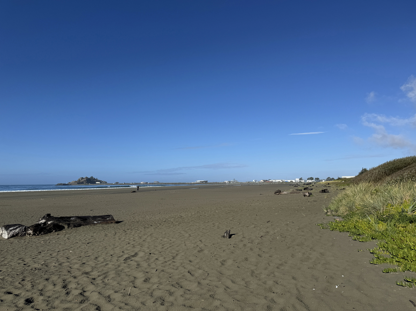
Beach north of Crescent City, facing north 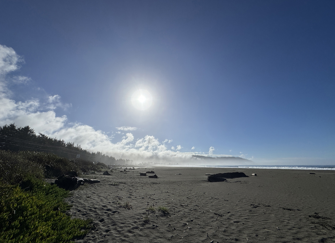
Beach north of Crescent City, facing south 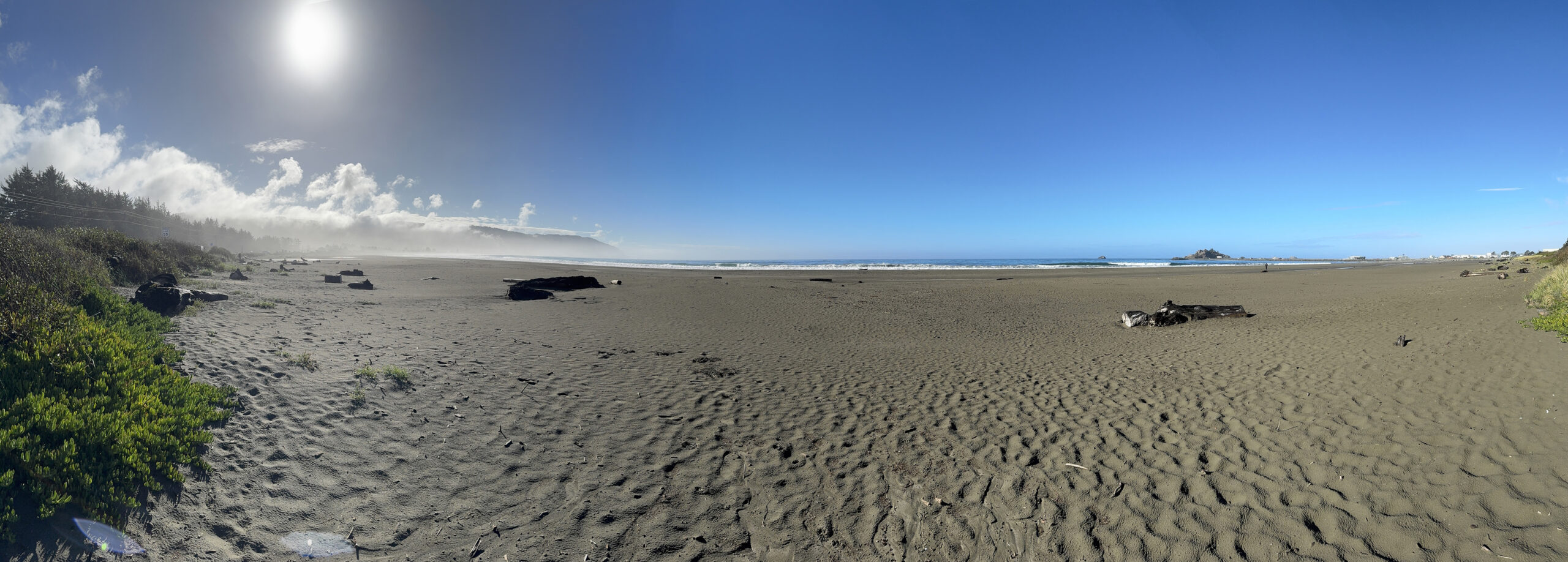
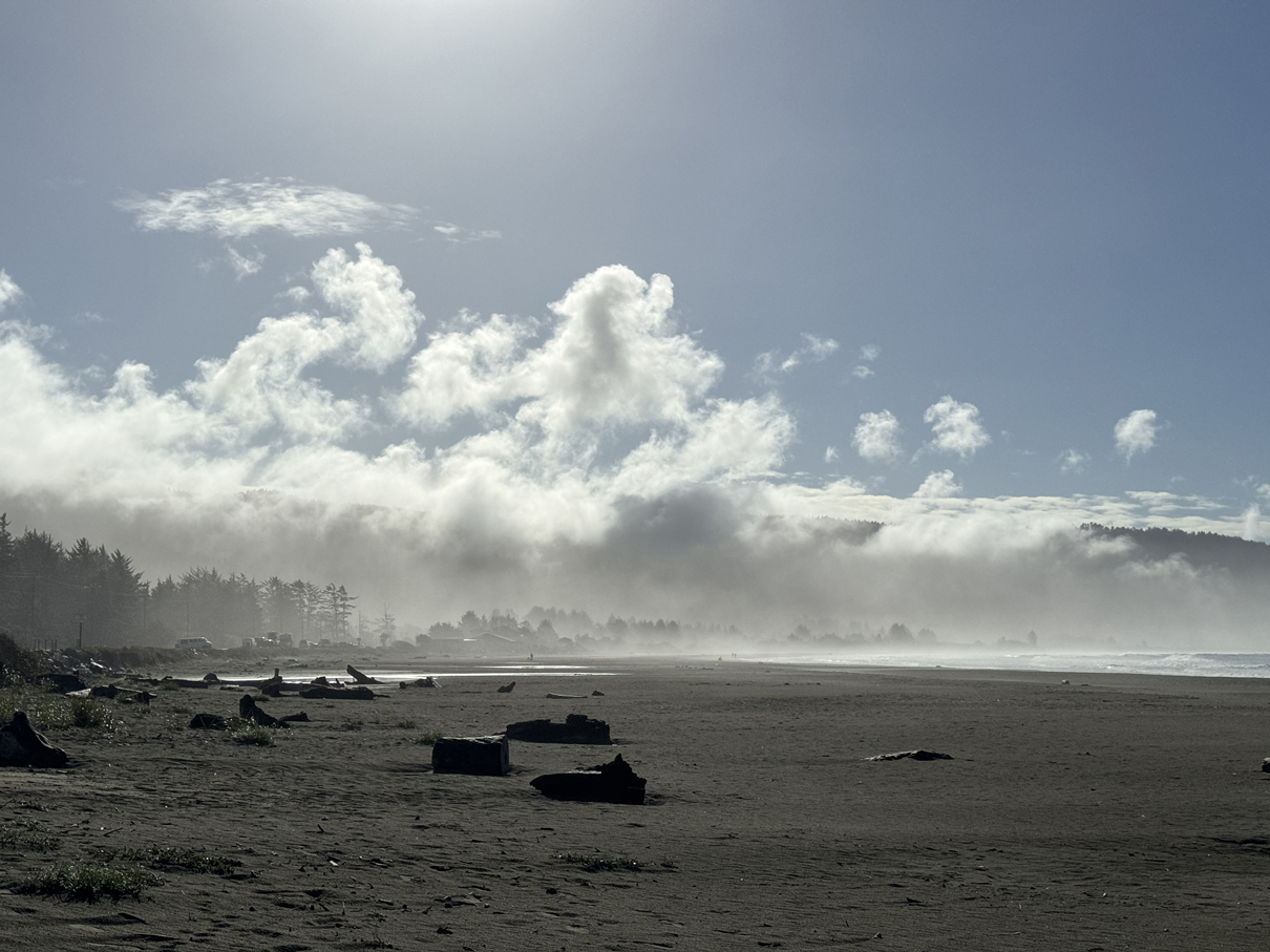
Morning fog rolling off mountains south of Crescent City 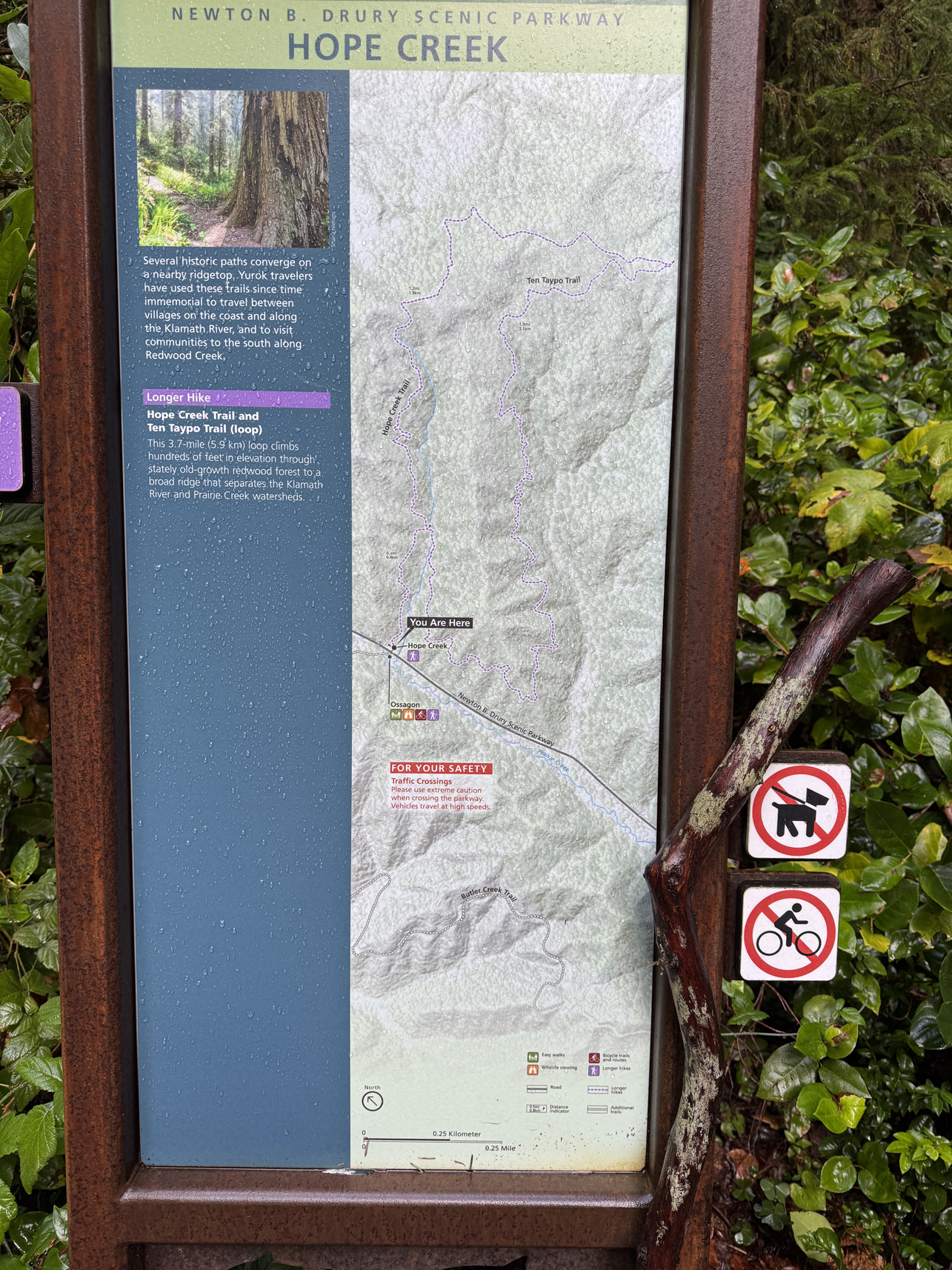
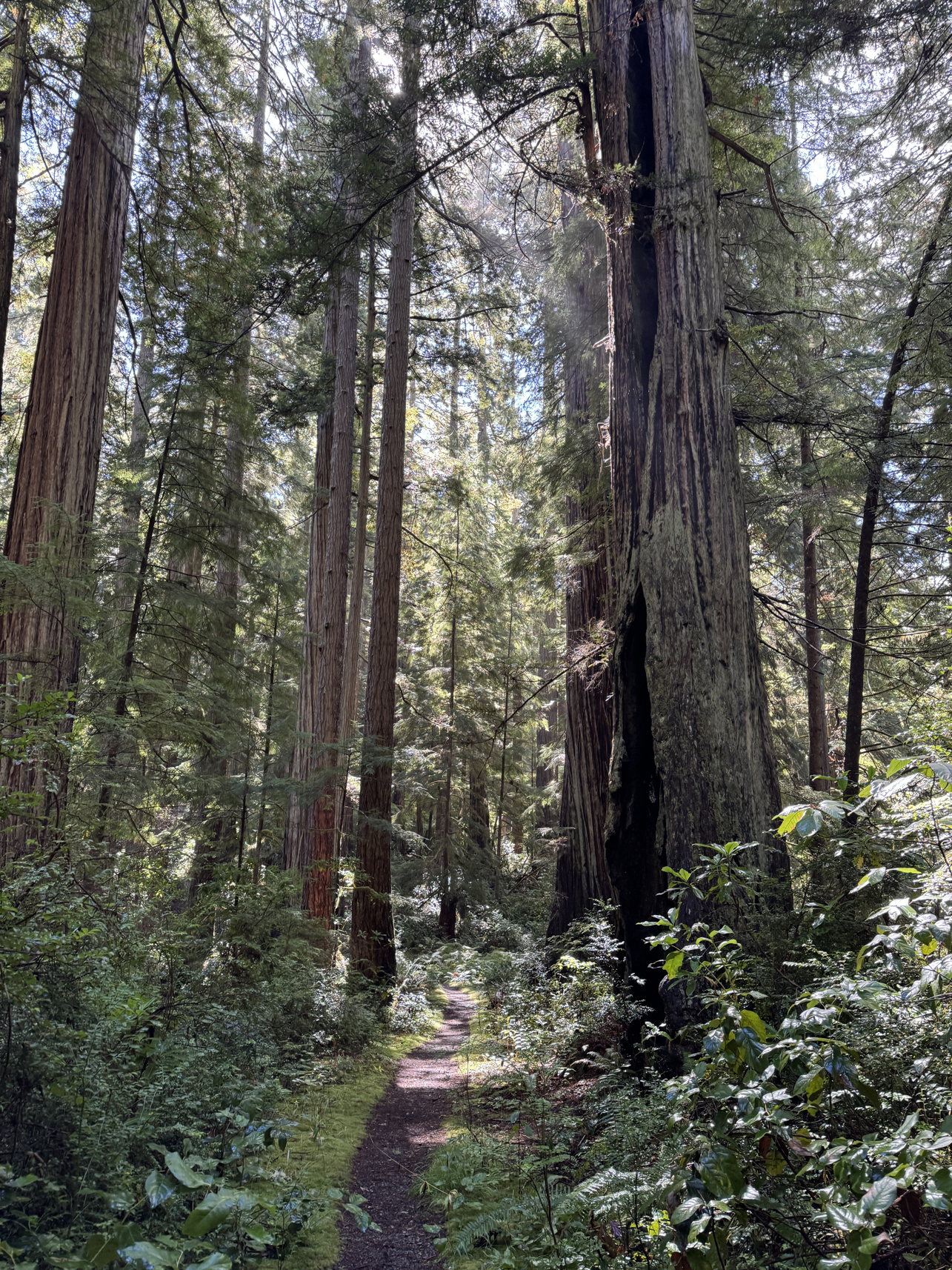
Beginning Hope Creek / Ten Taypo Trail 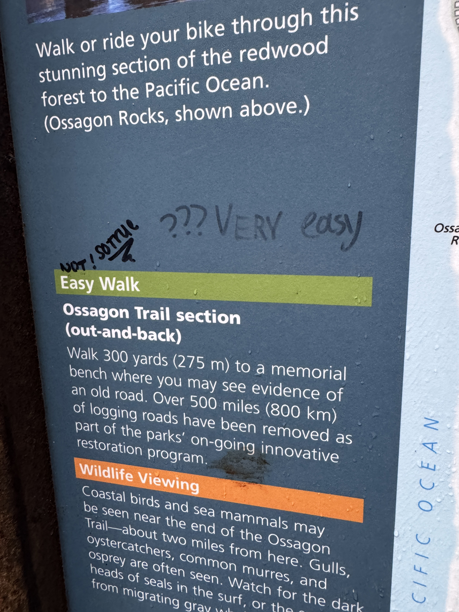
Why do so many people carry markers? 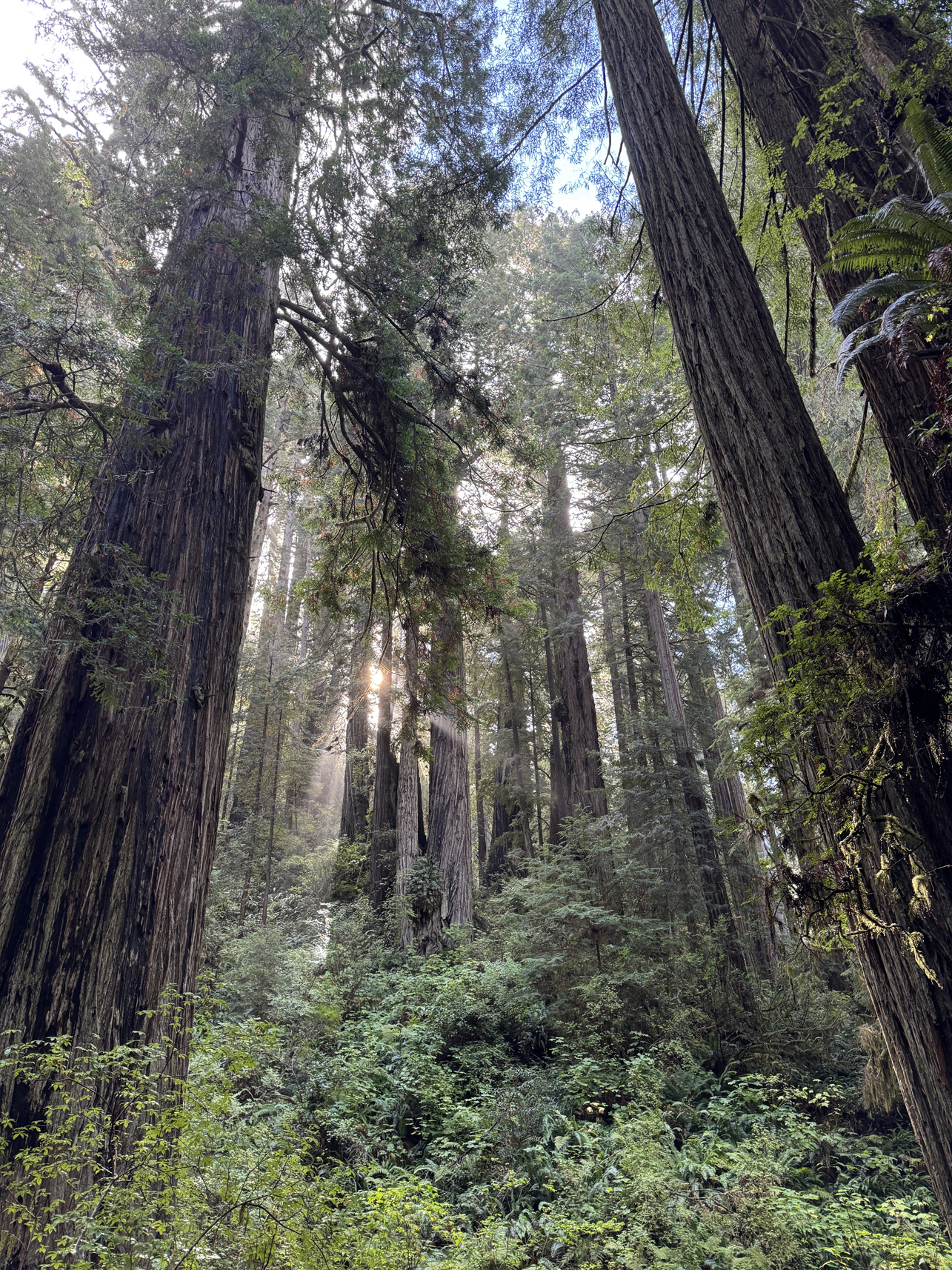
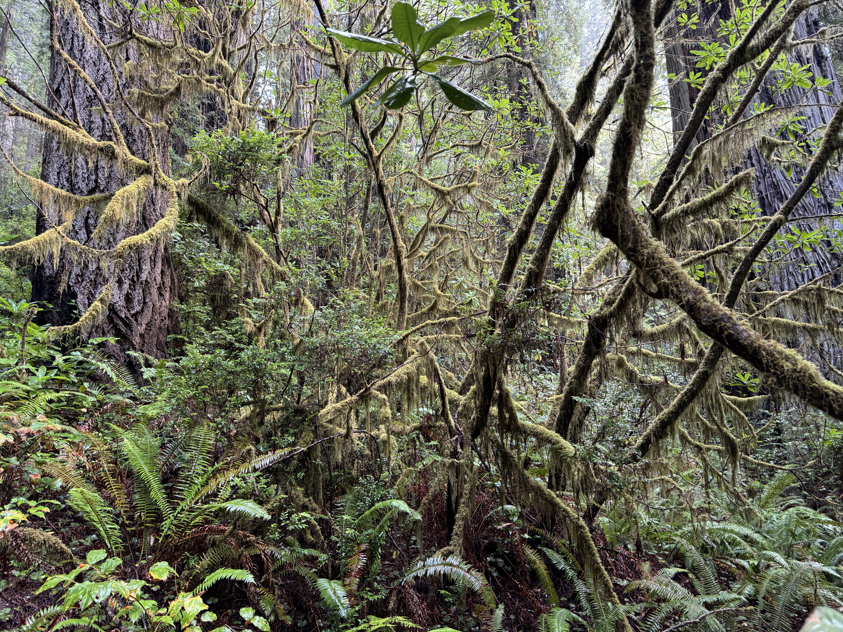
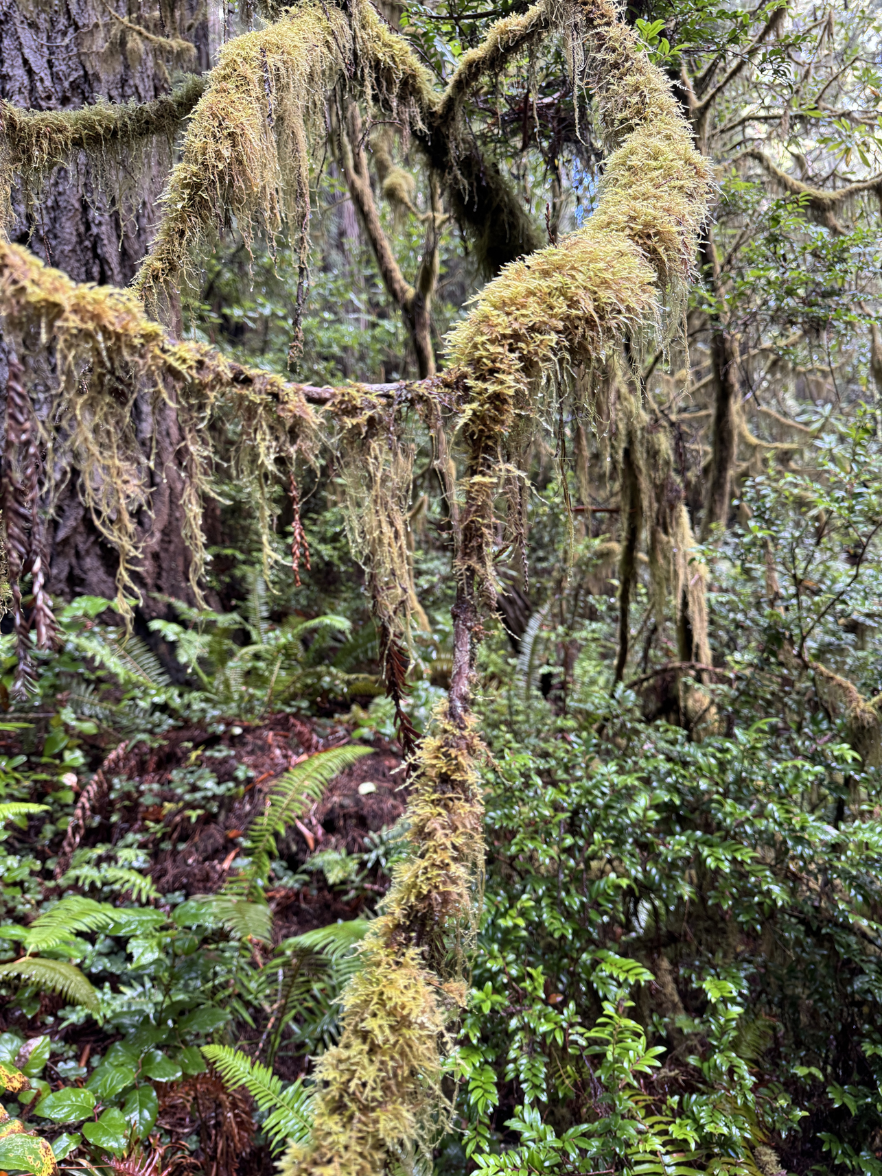
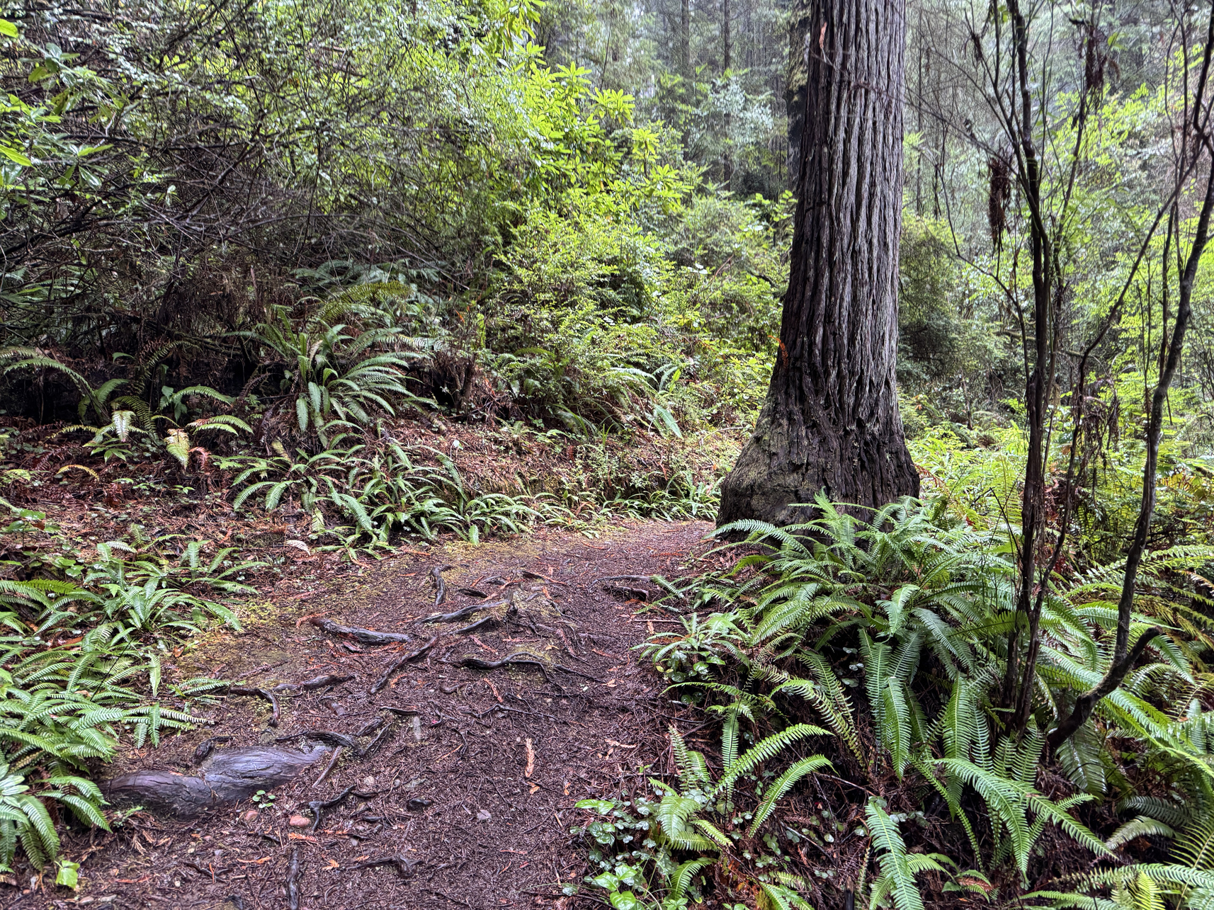
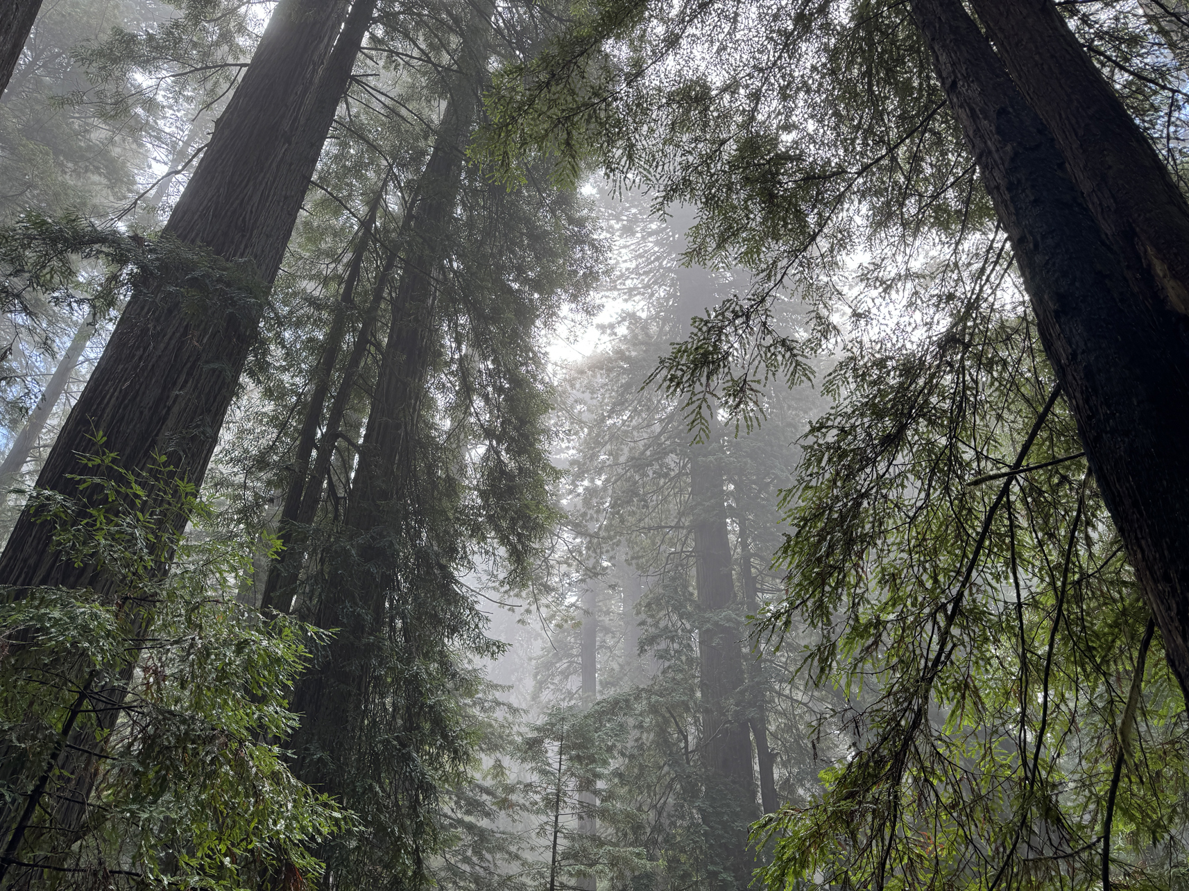
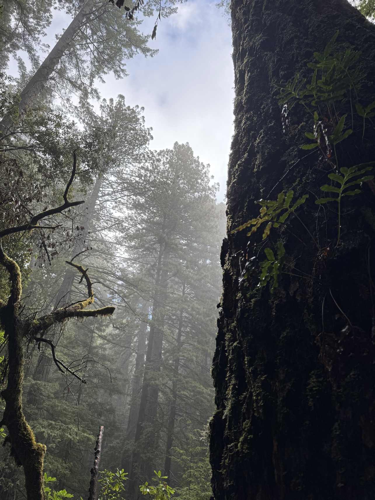
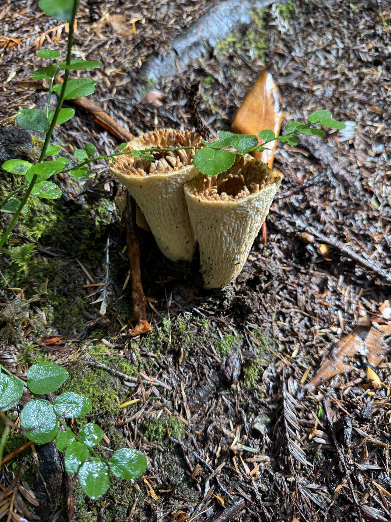
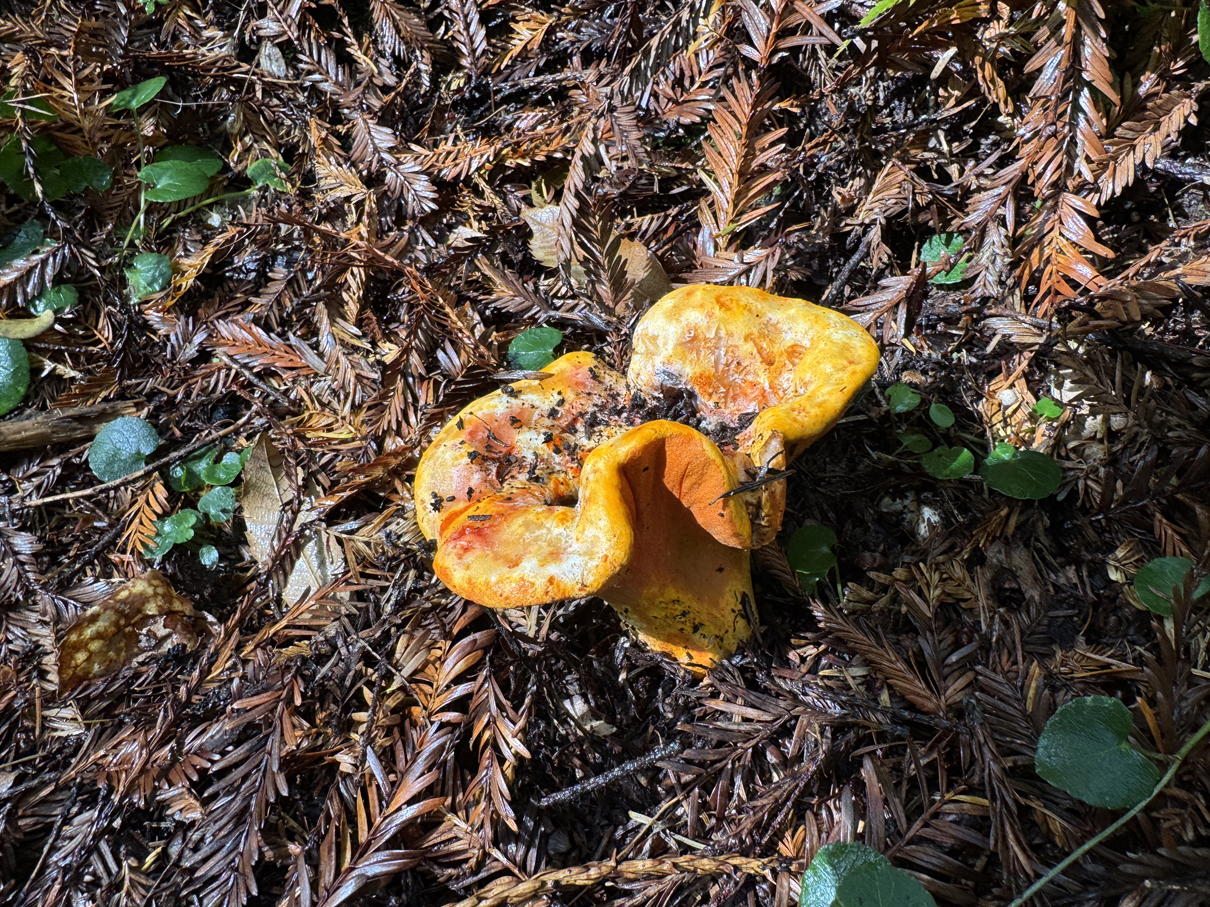
Behold 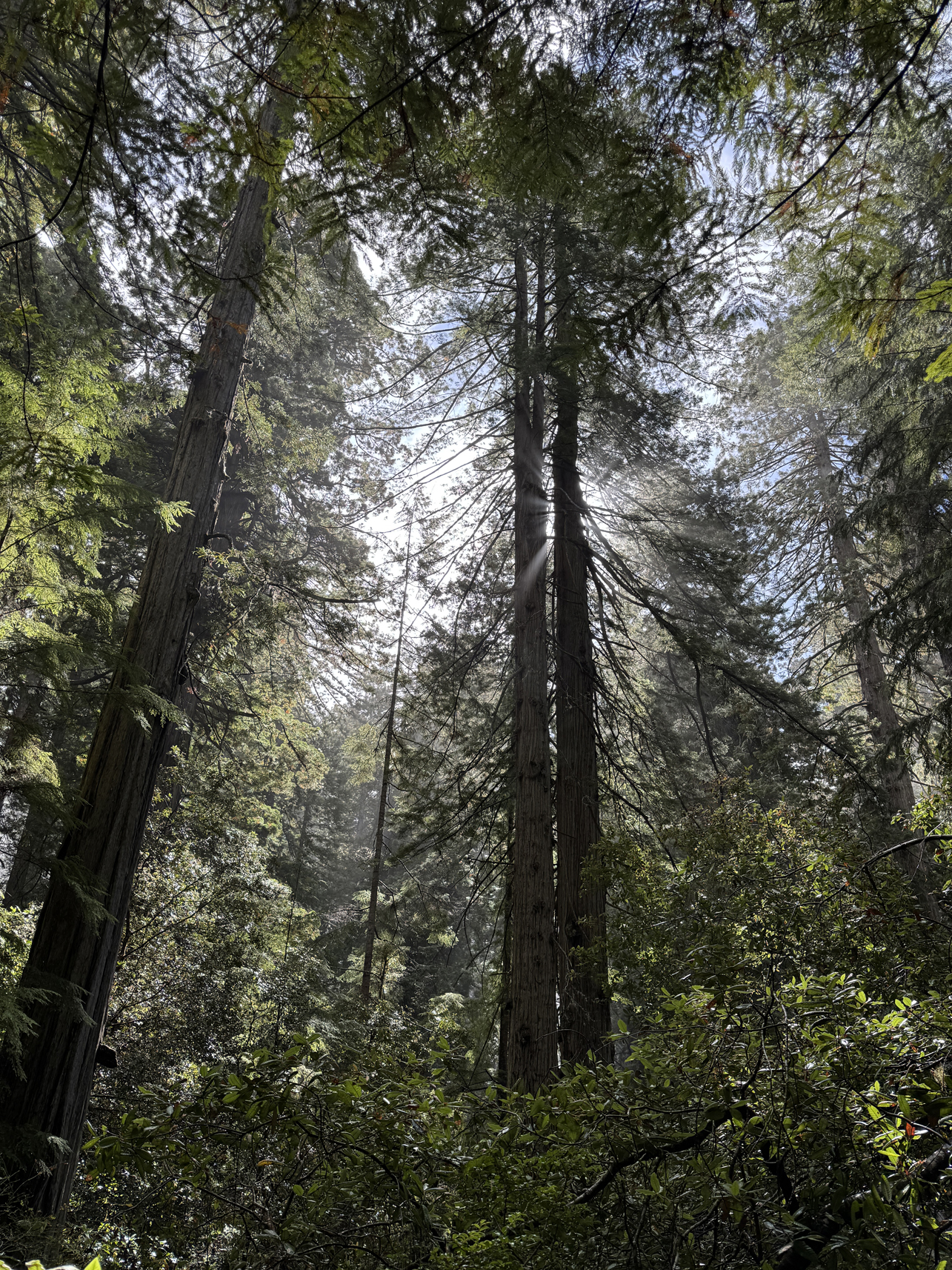

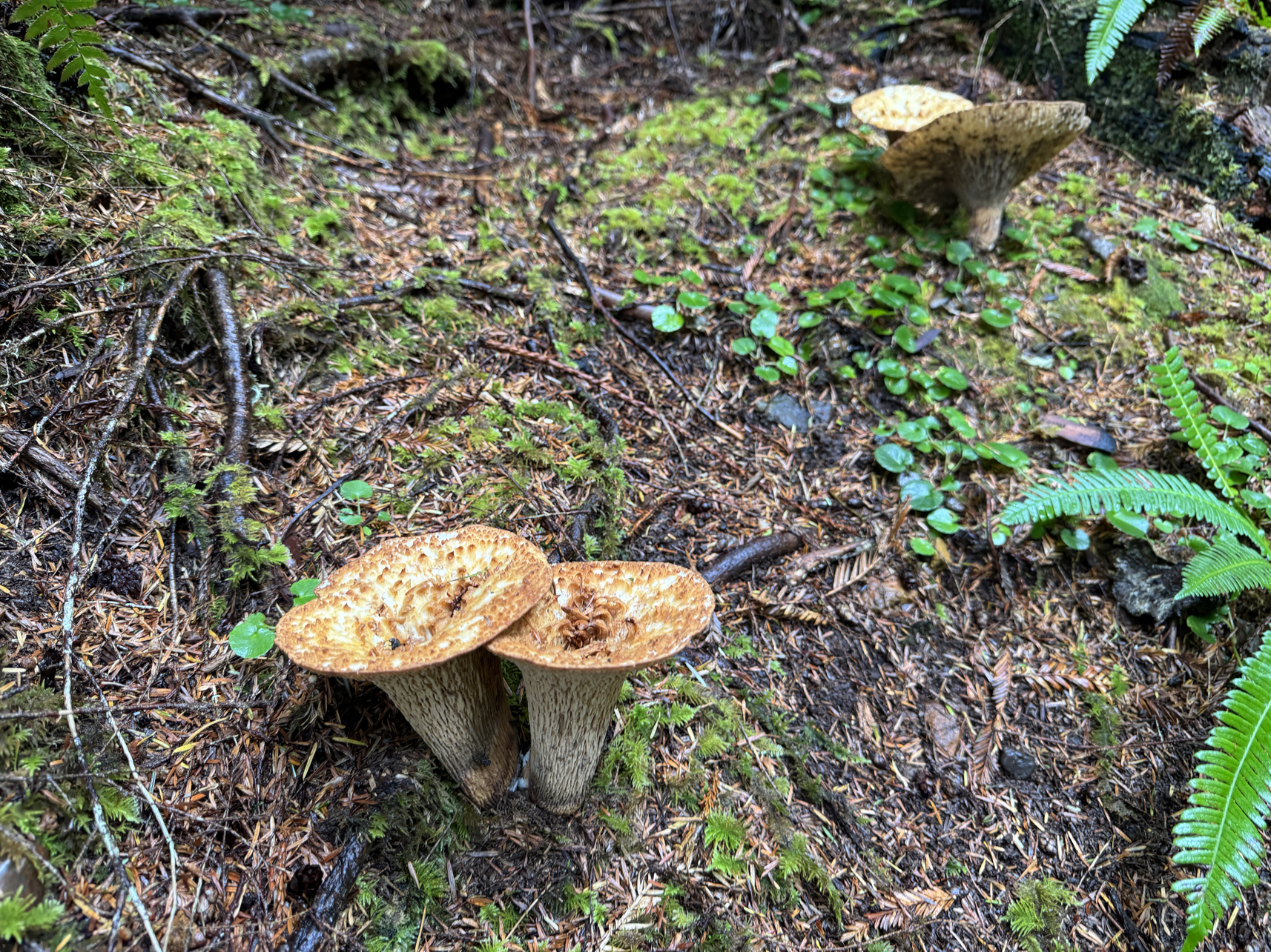
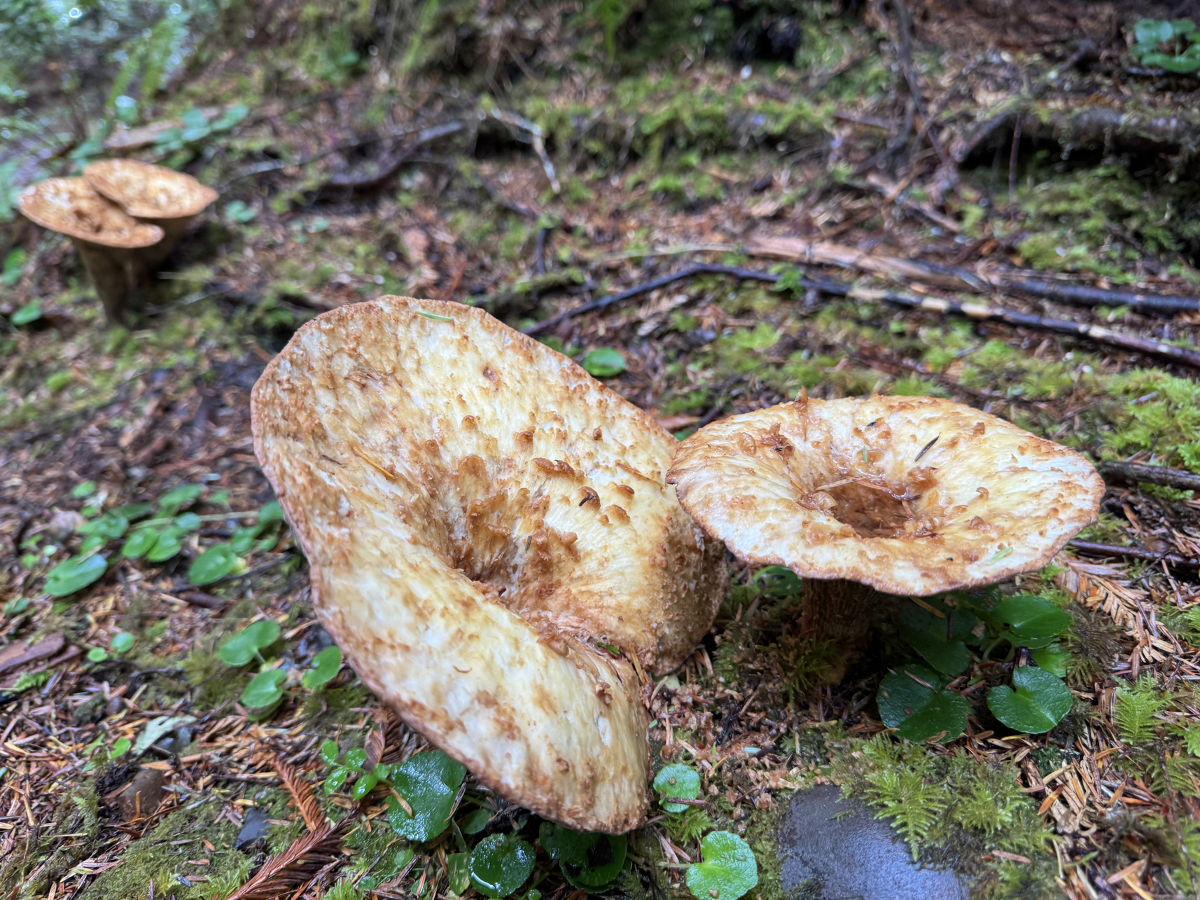
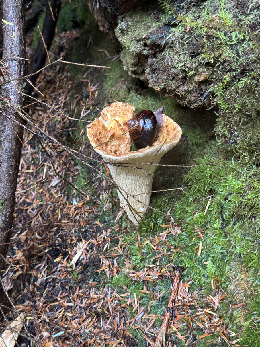
Snail snack 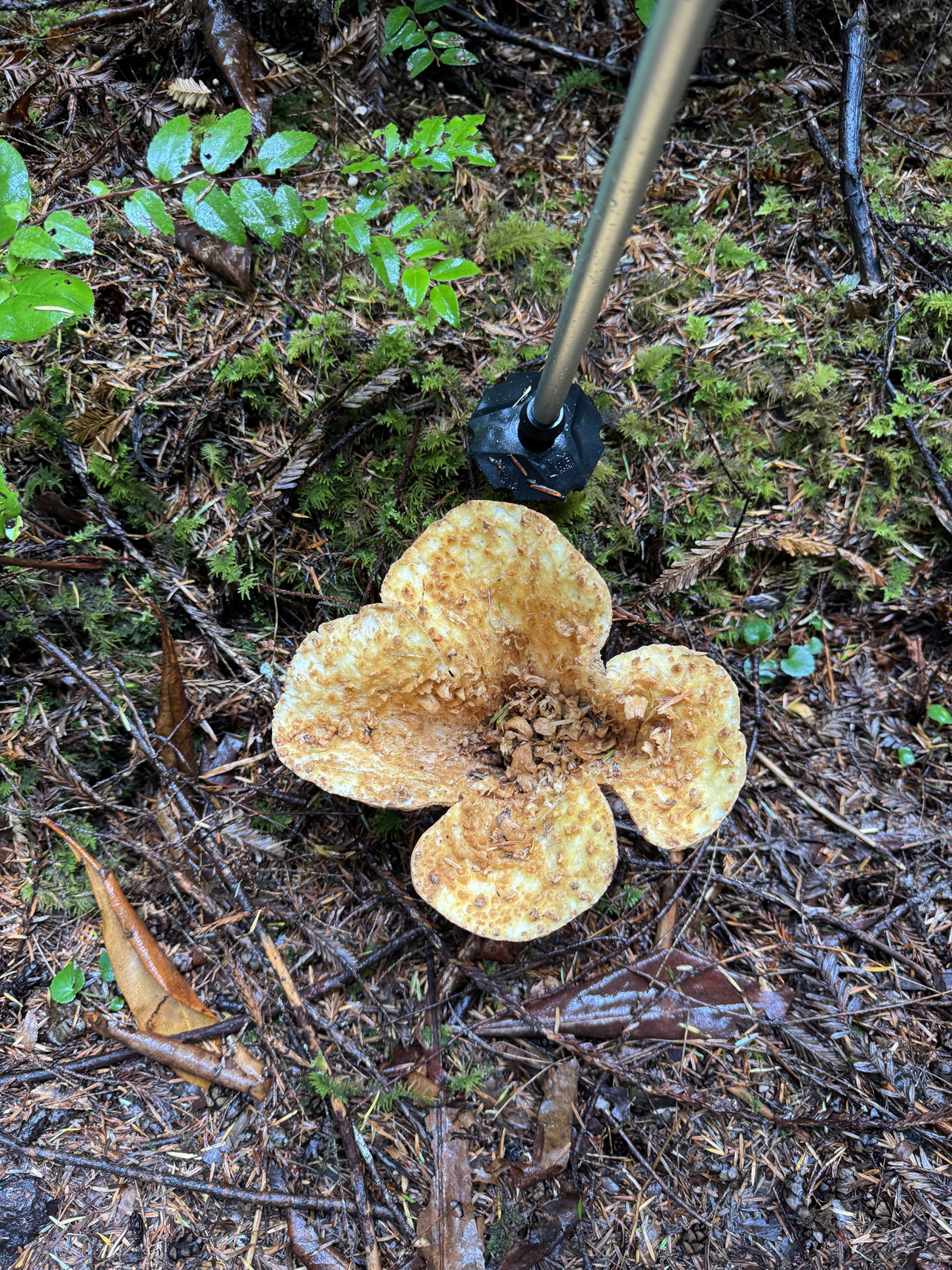
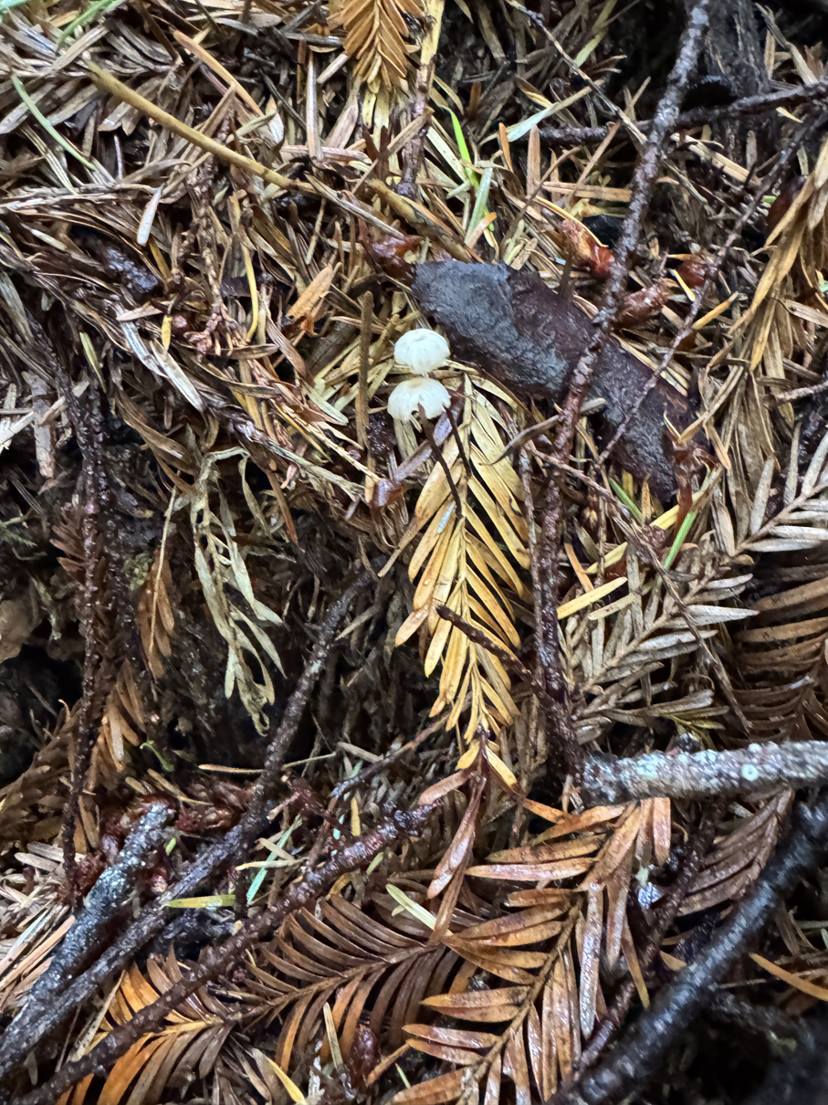
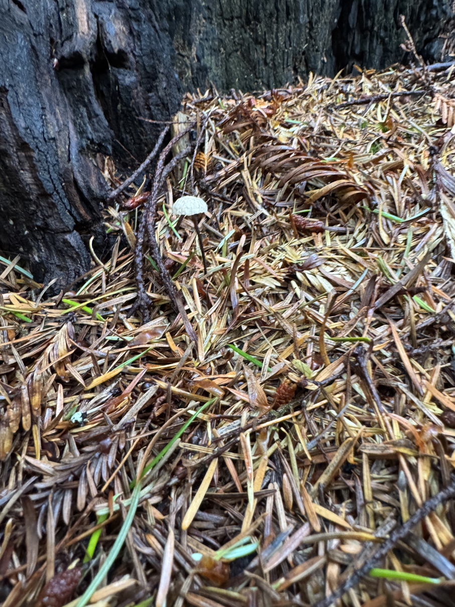
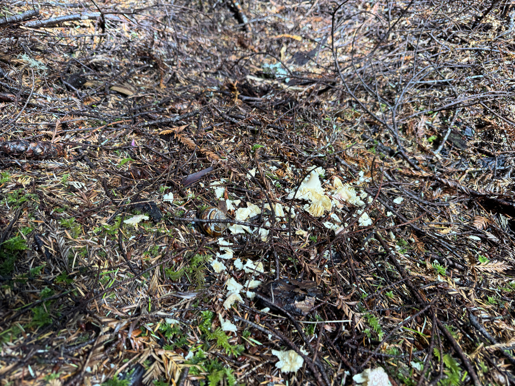
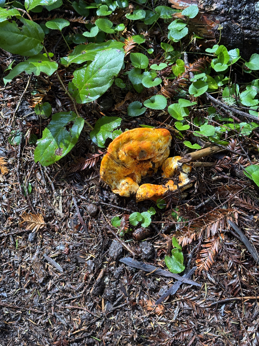
Feasting 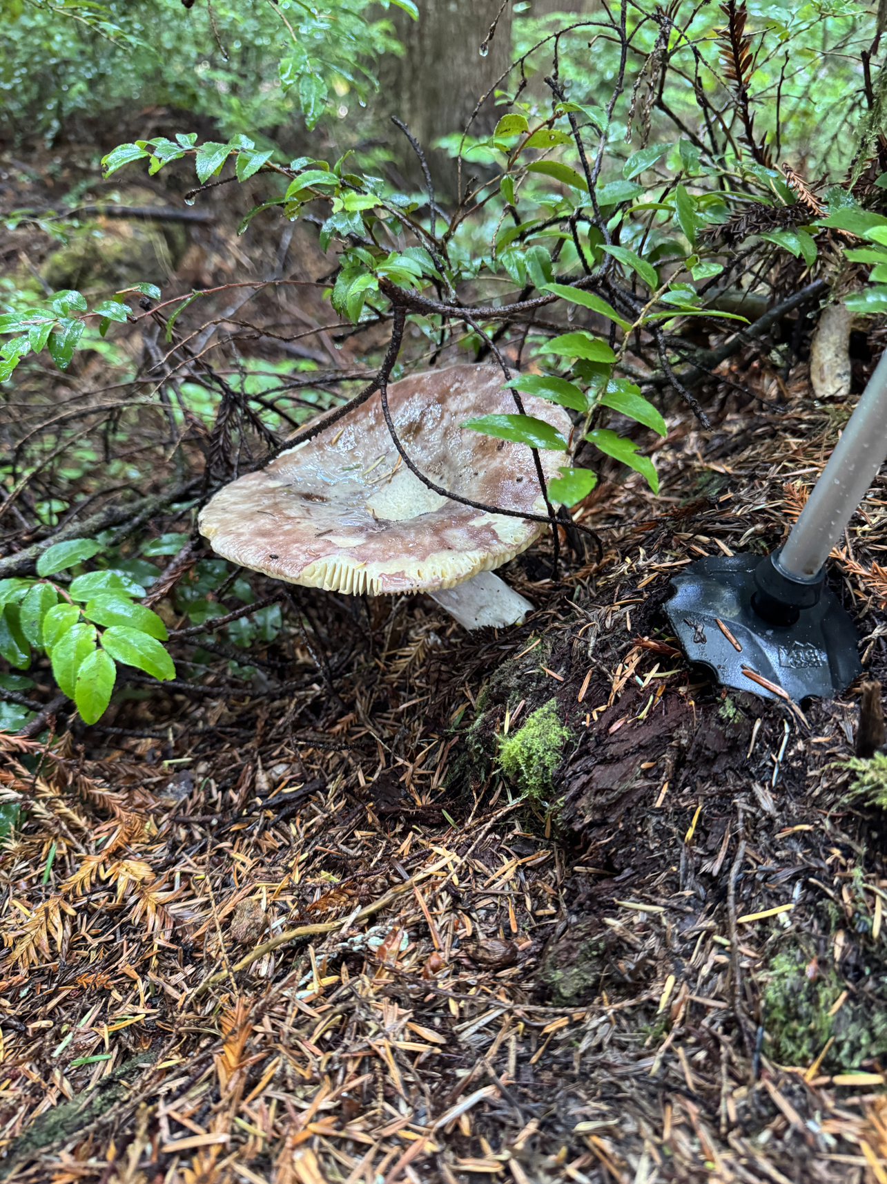
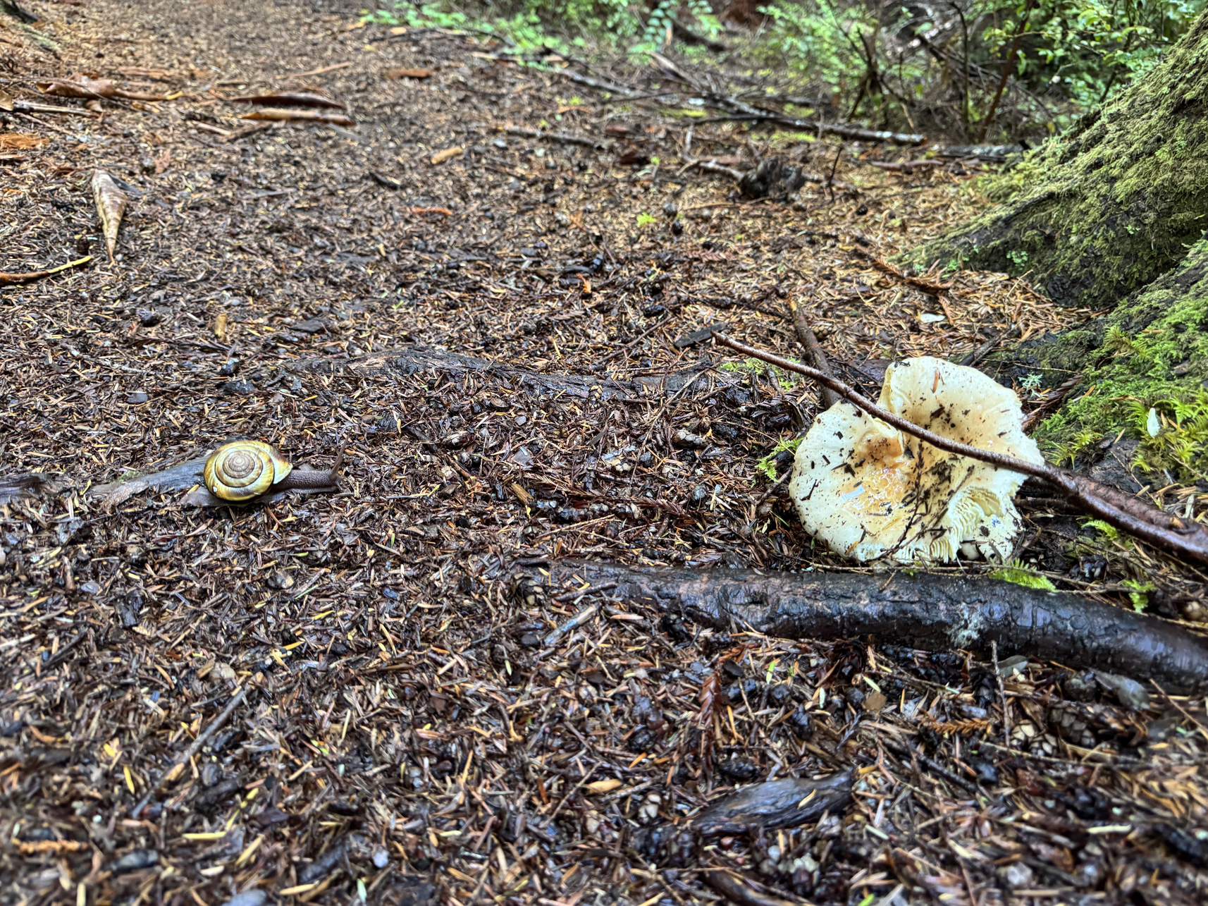
Snail on the way to snack 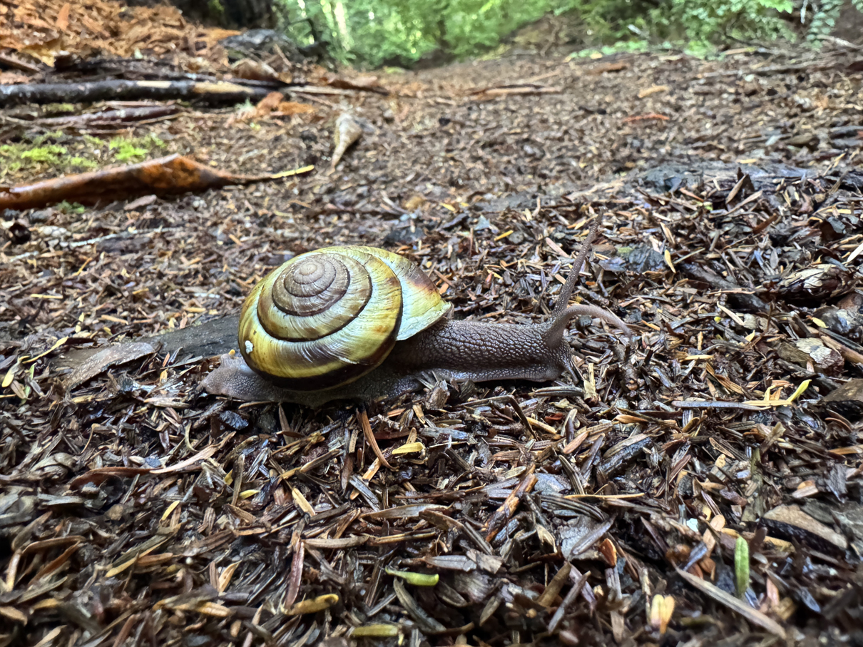
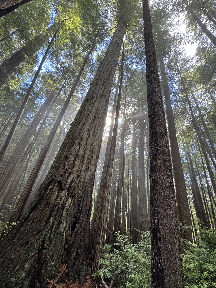
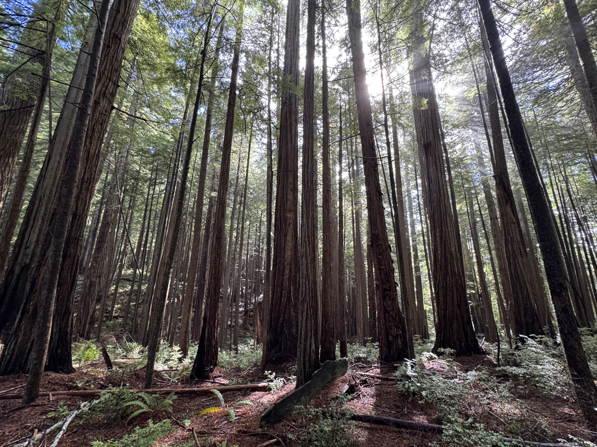
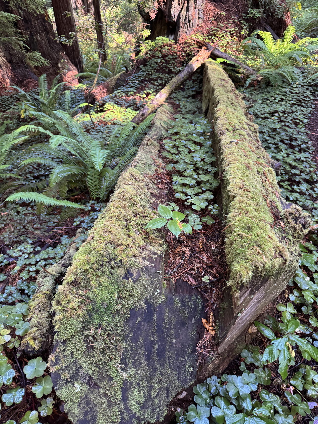
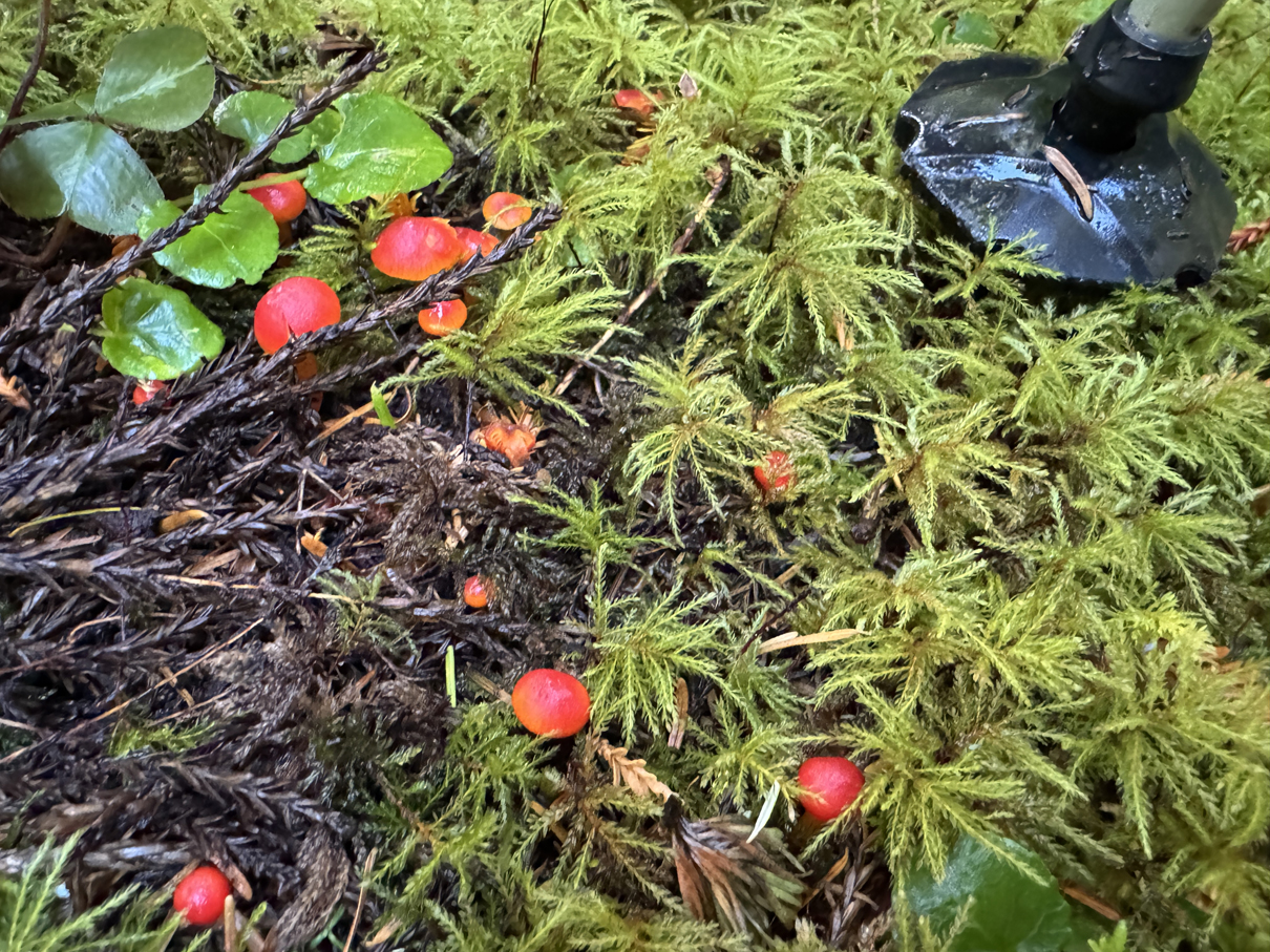
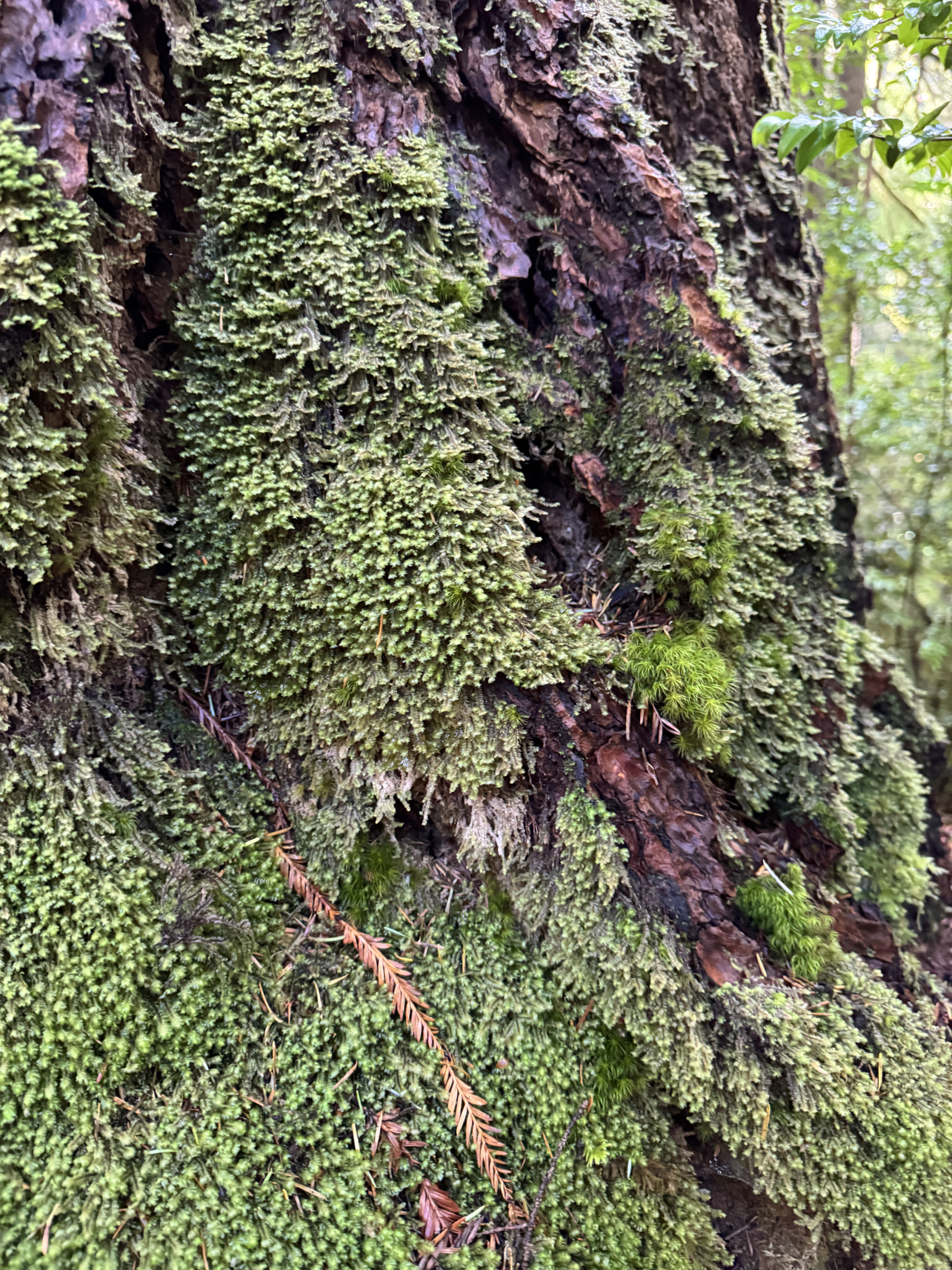
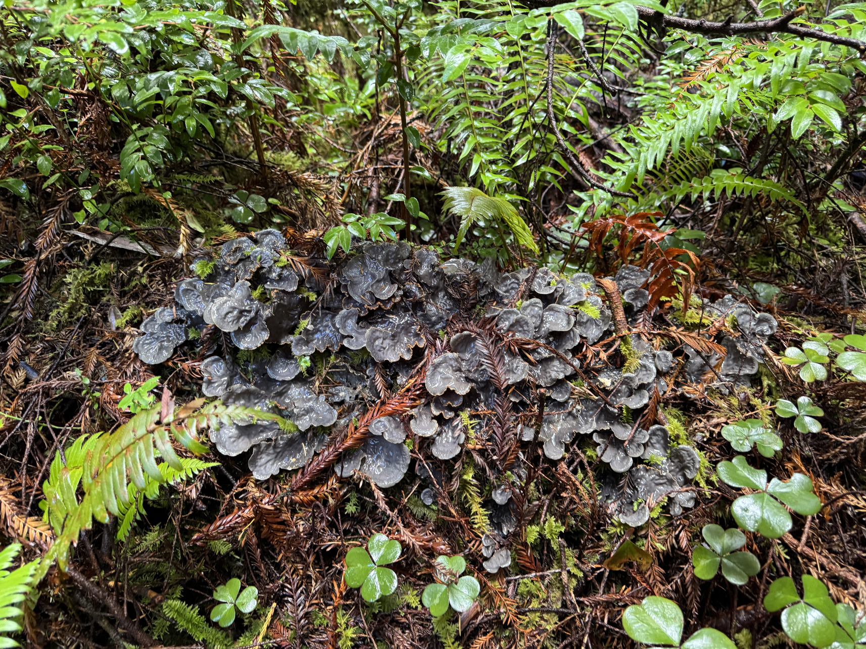
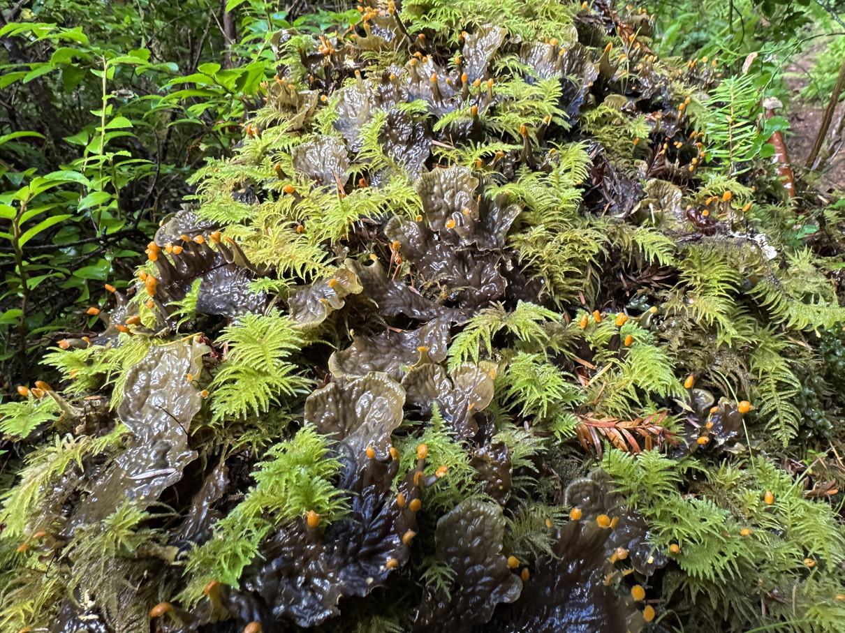
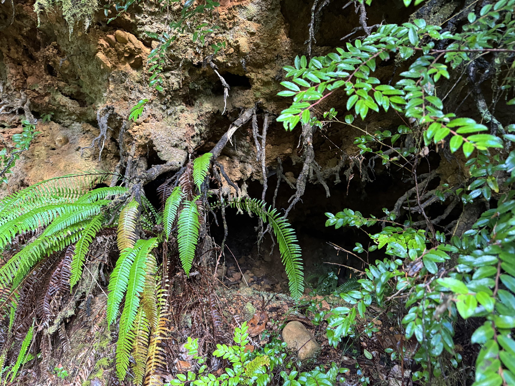
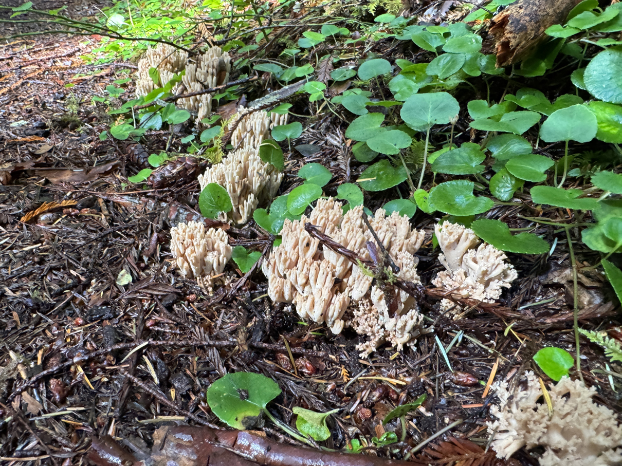
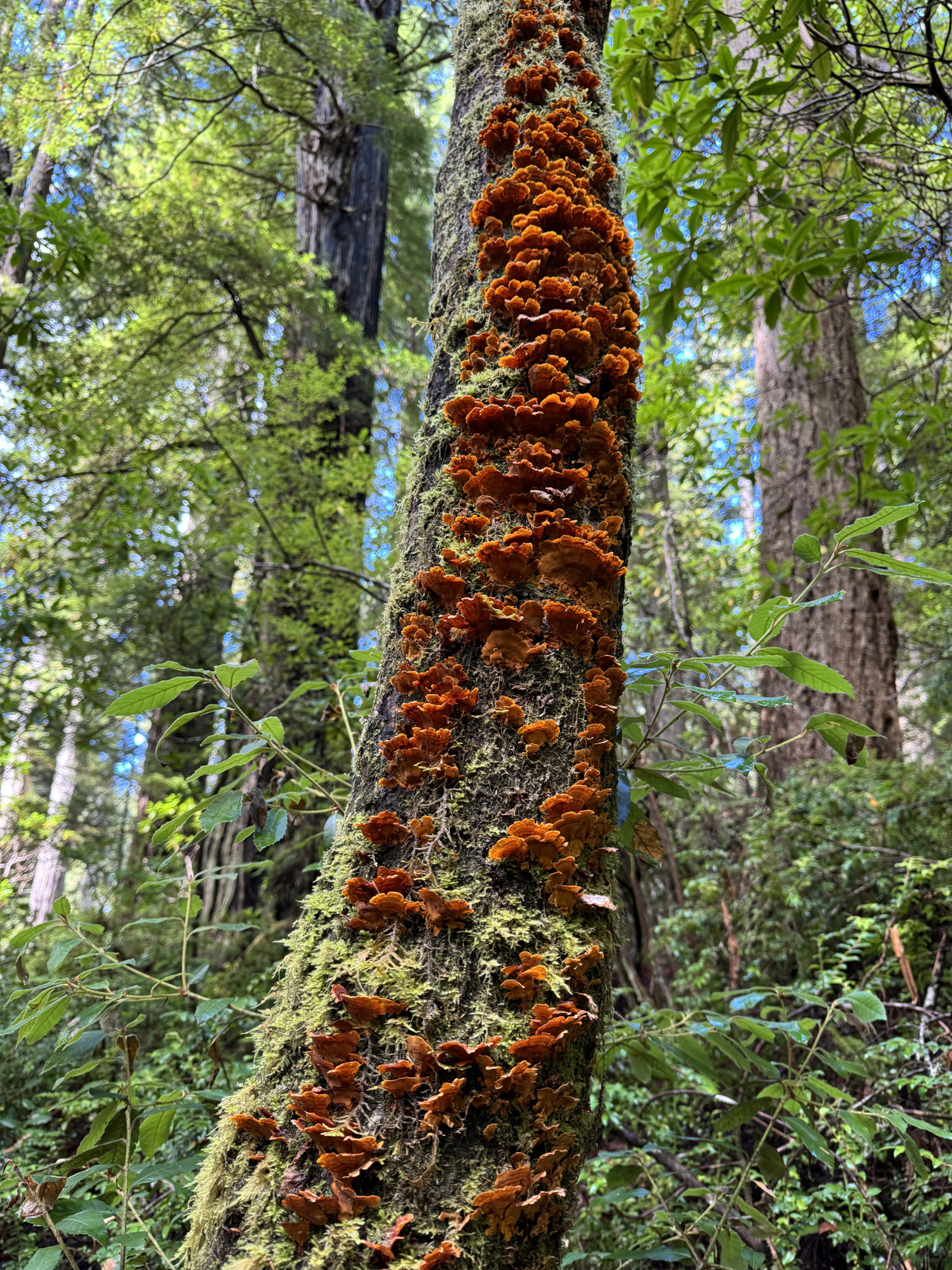
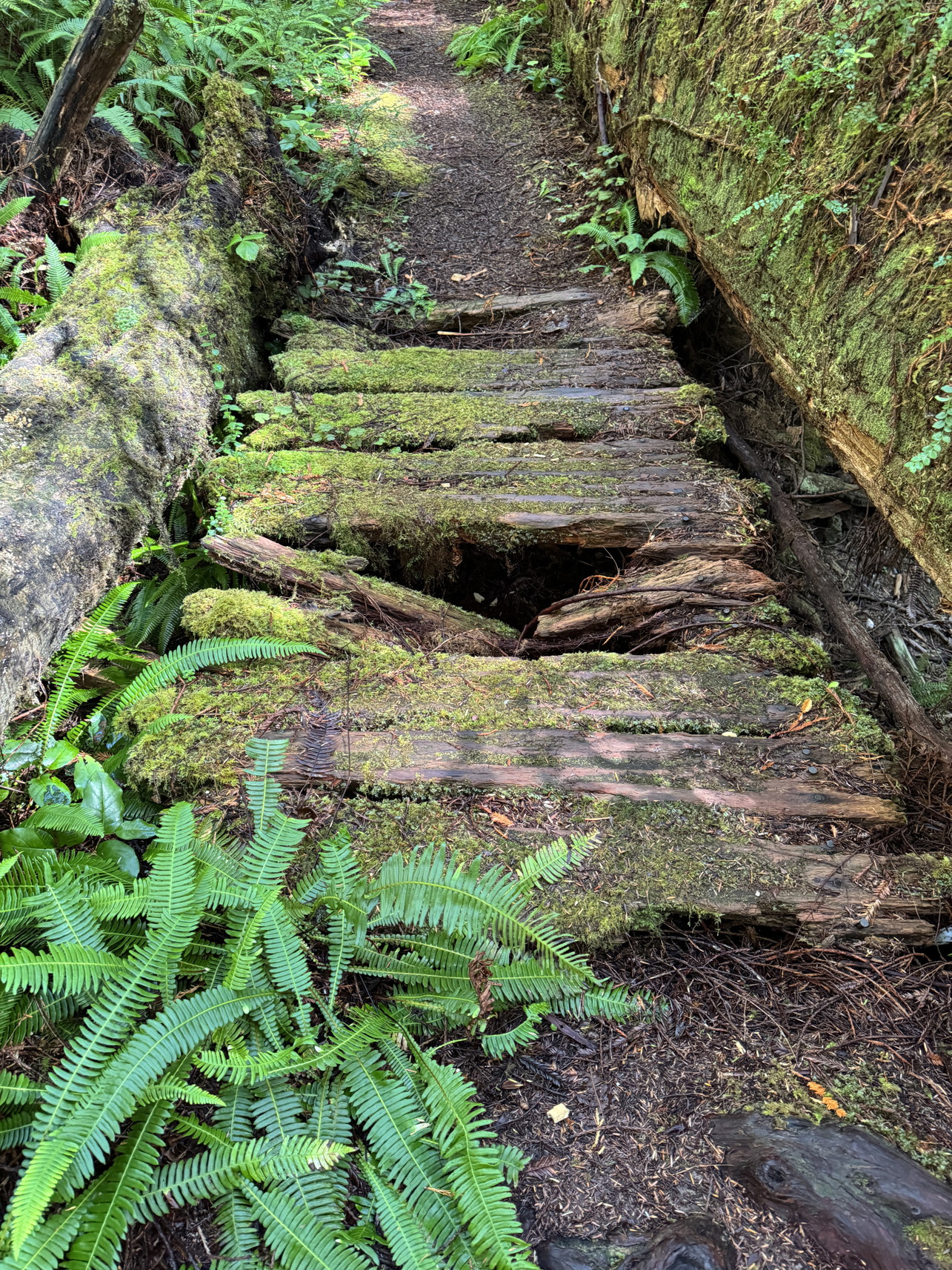
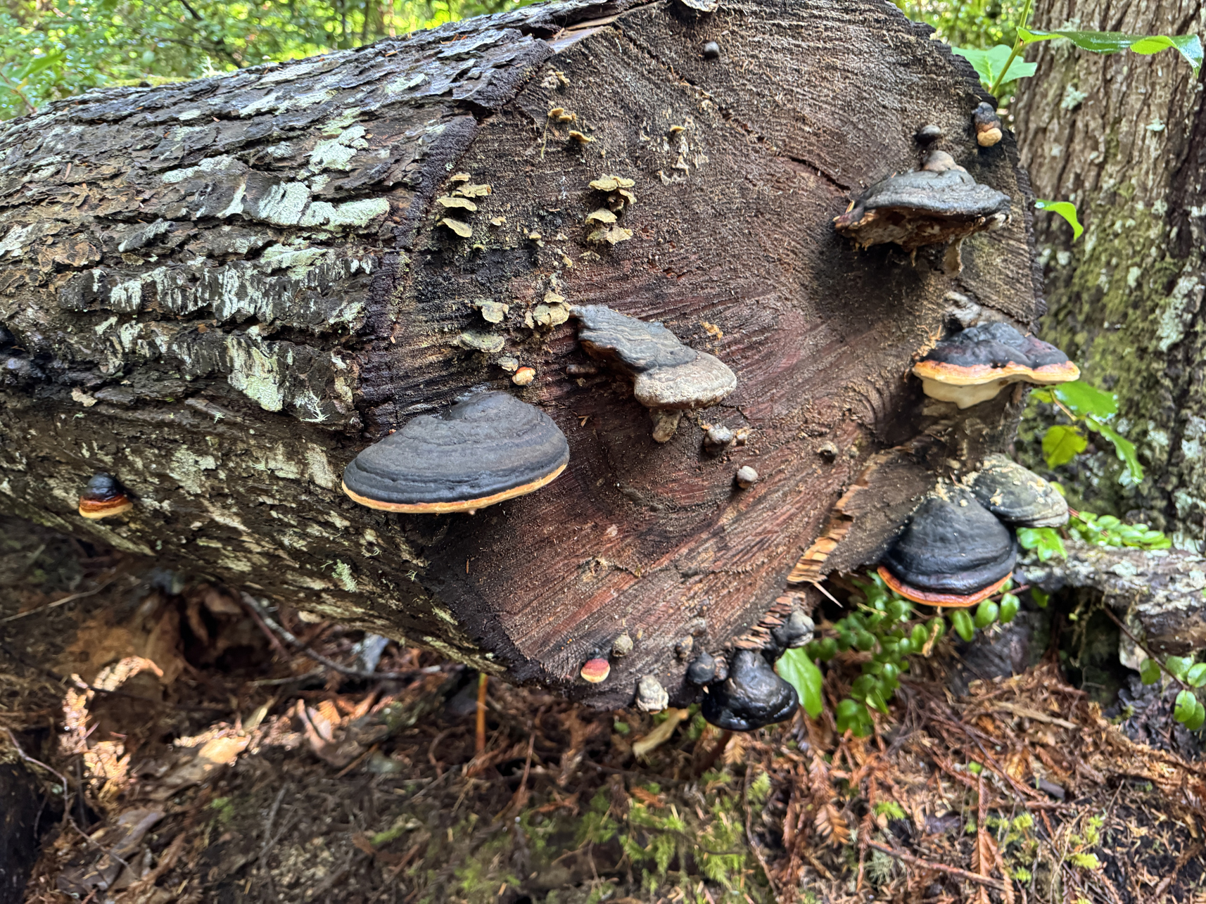
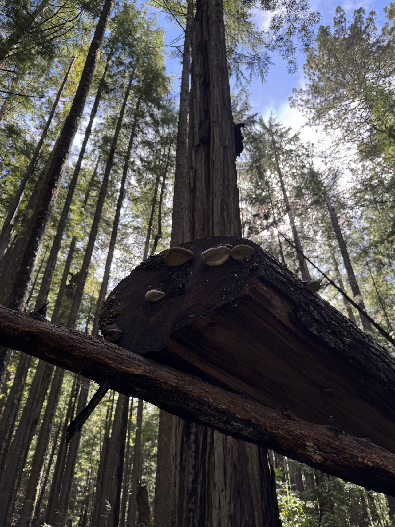
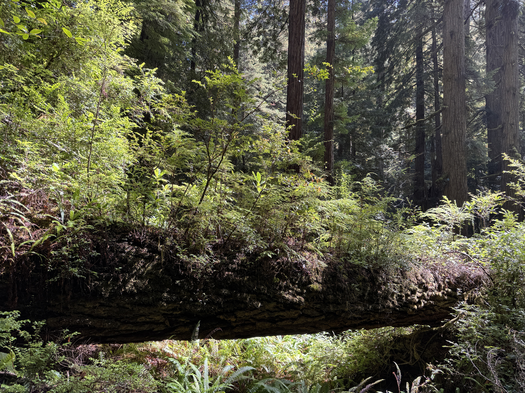
All wood rots in the forest 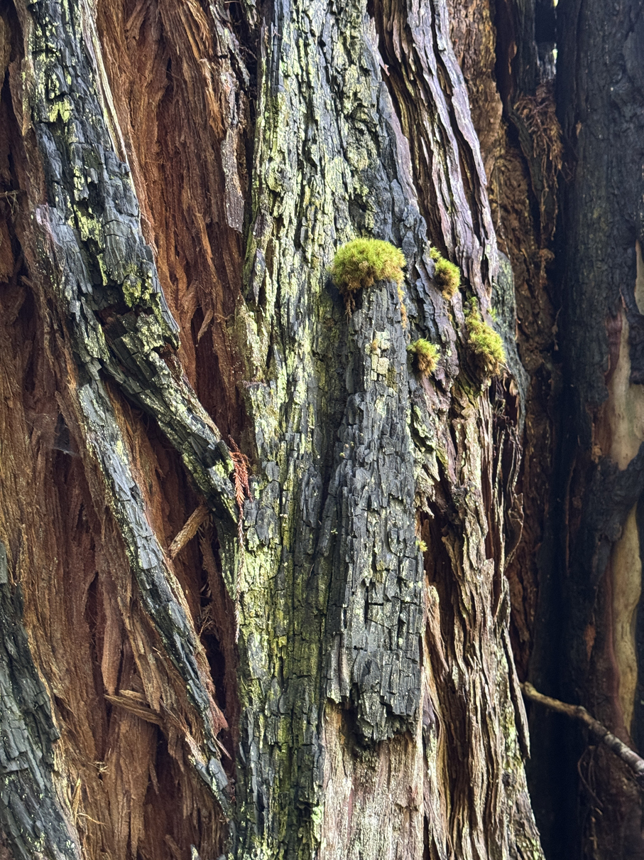
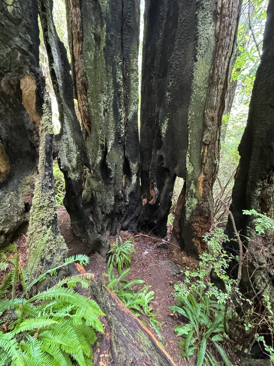
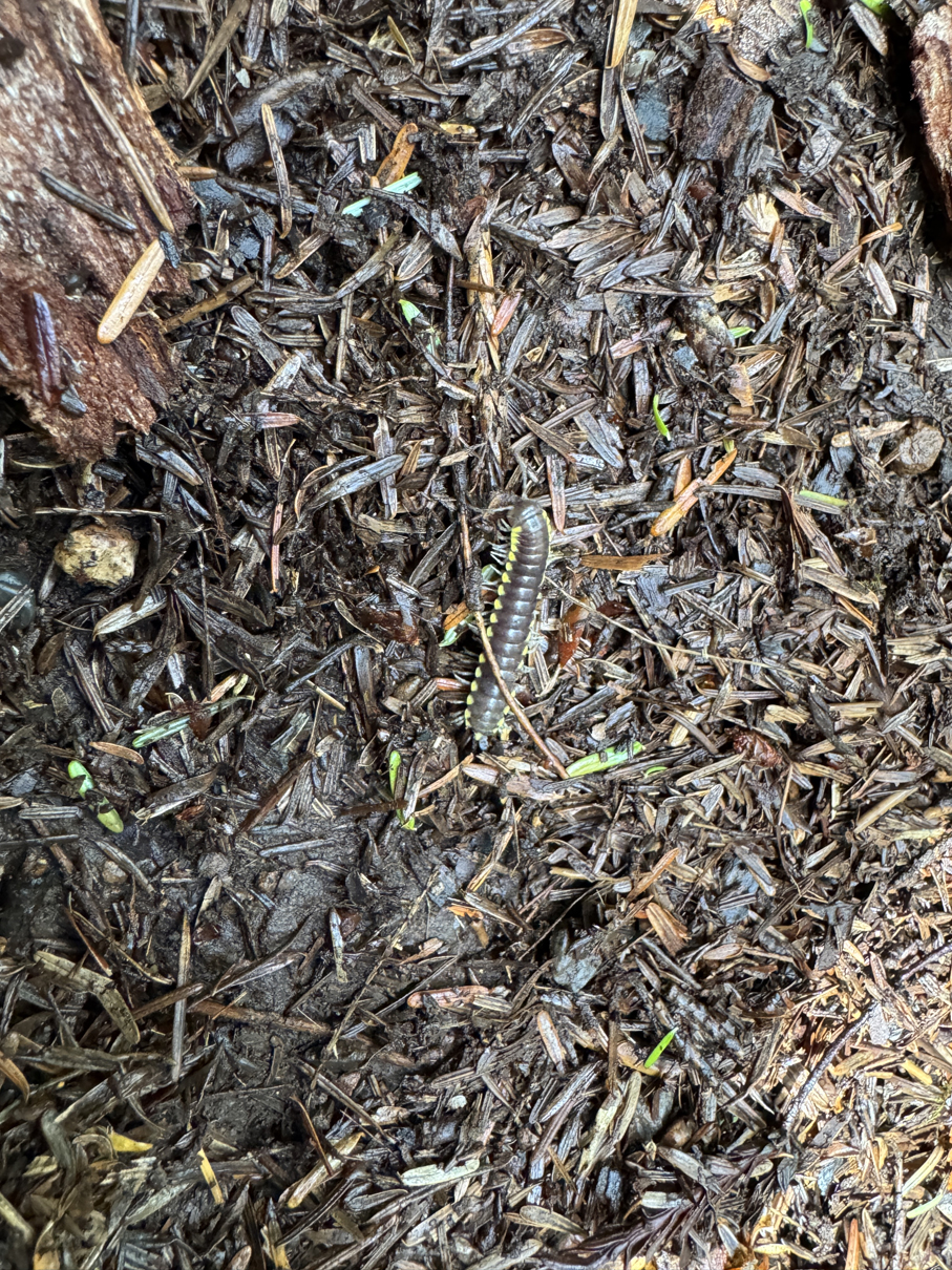
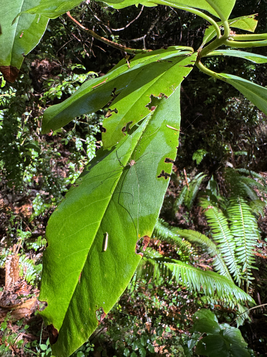
Millipede 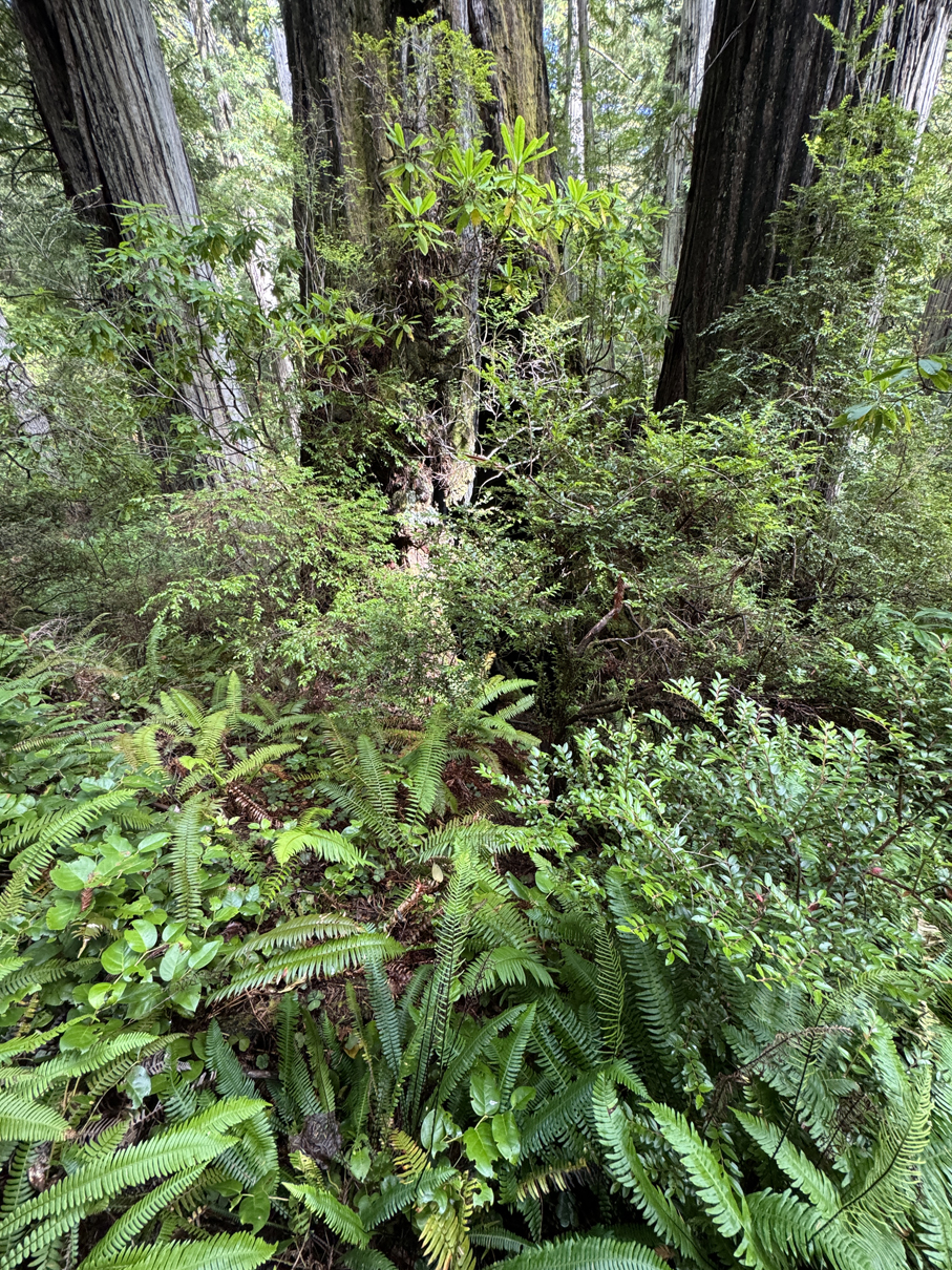
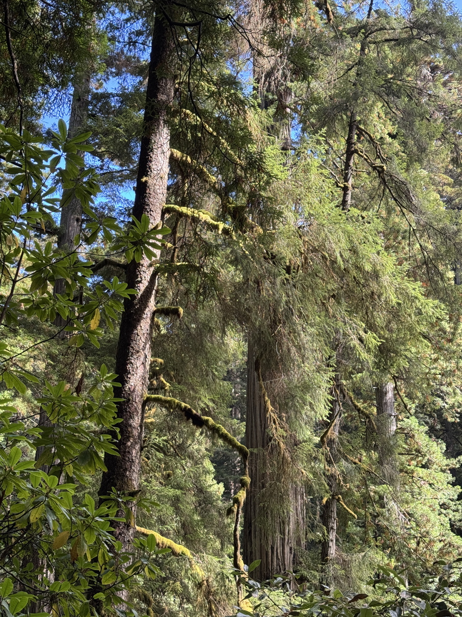
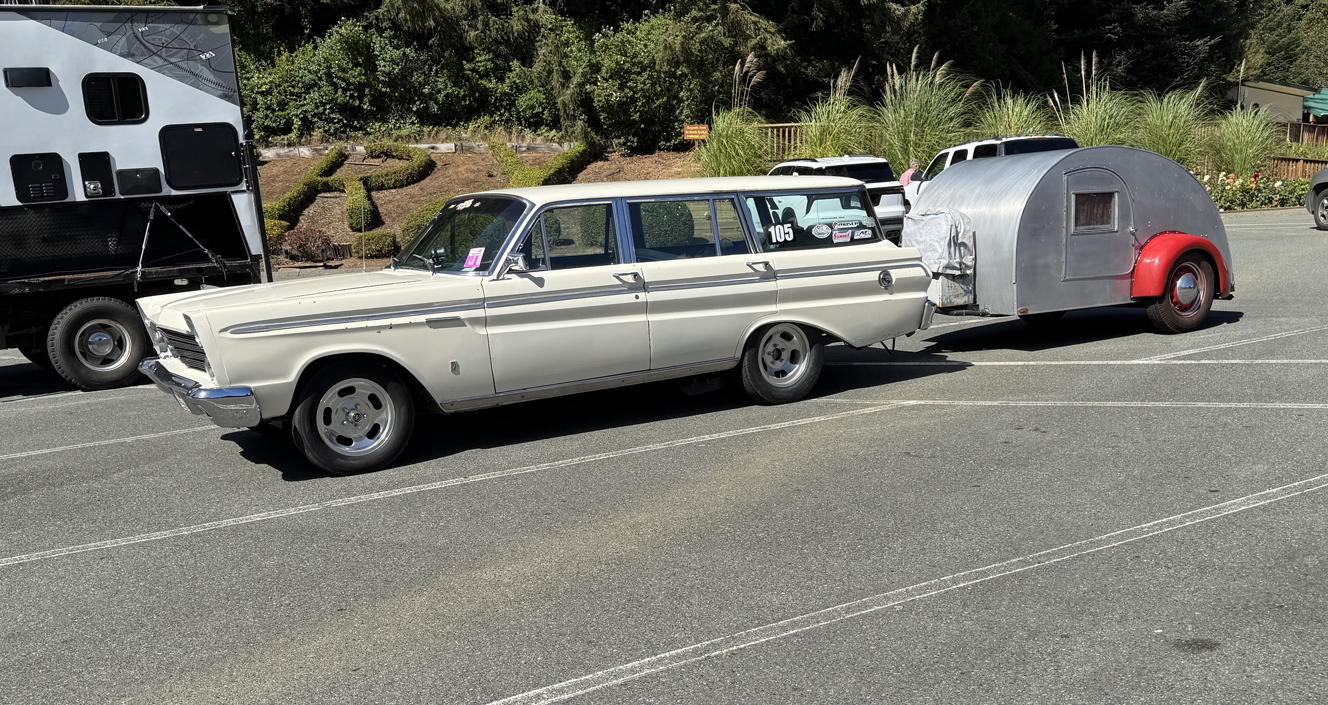
Seen outside Trees of Mystery Park 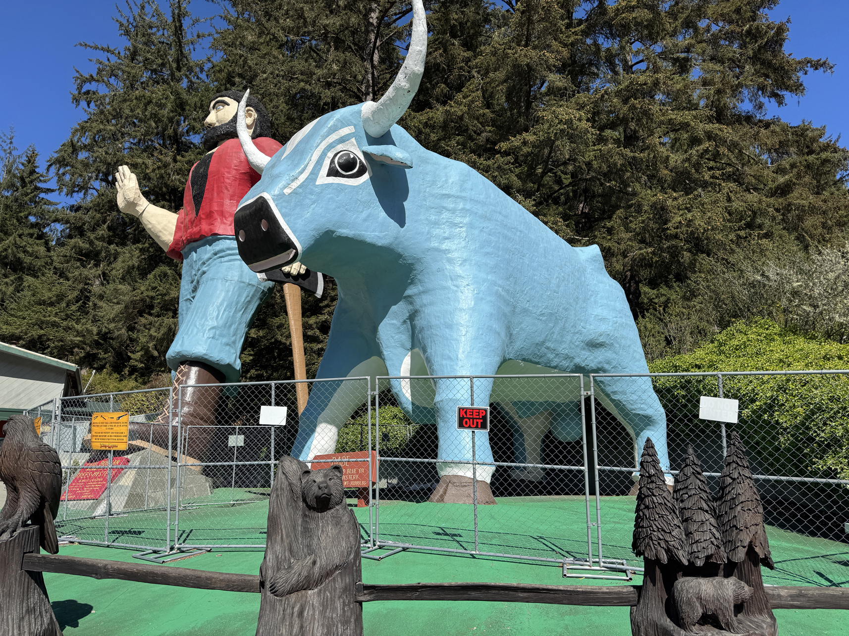
Paul Bunyan and Babe statues outside Trees of Mystery Park 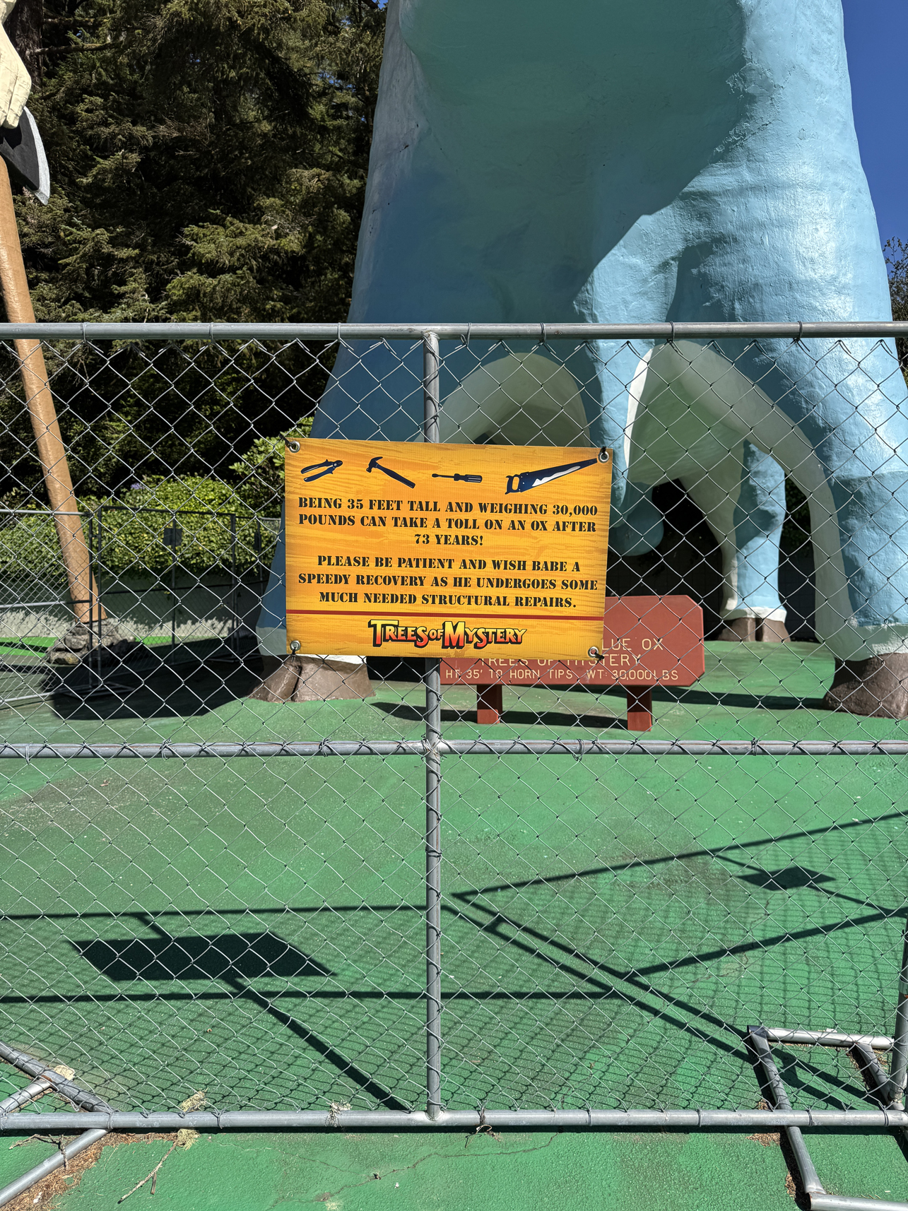
I didn’t walk the park, just the gift shop 

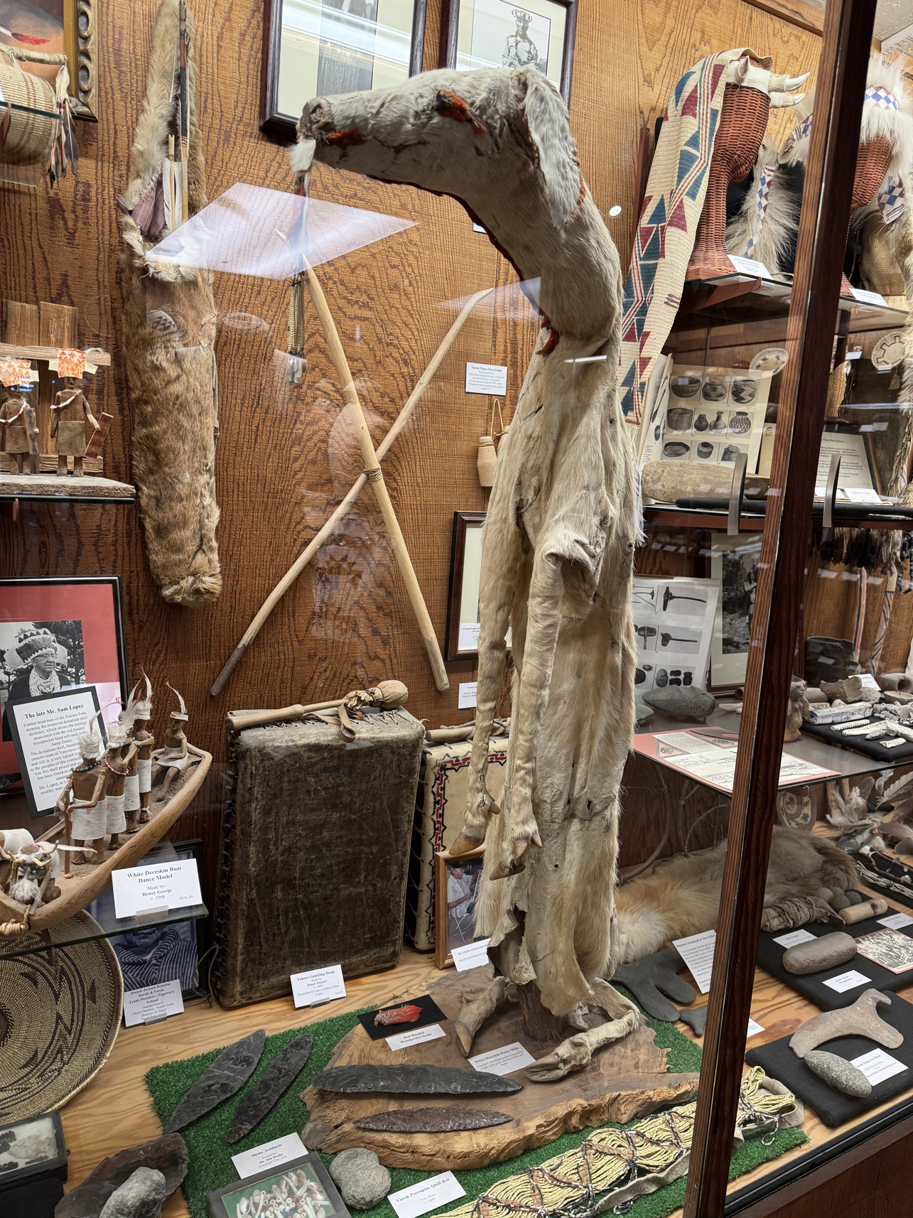
Deerskin ceremonial cloak 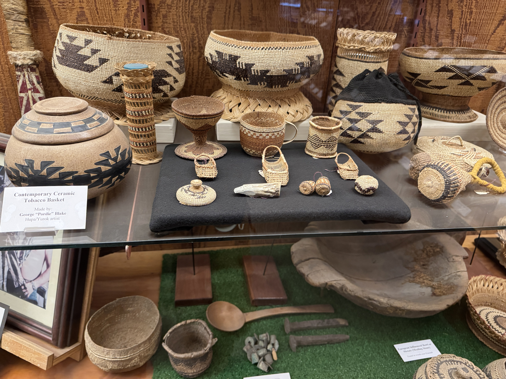
Tiny baskets made with single strand 


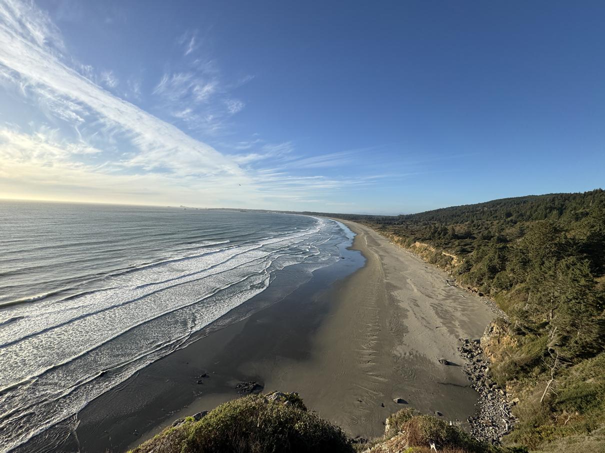
View north from Crescent Beach Overlook 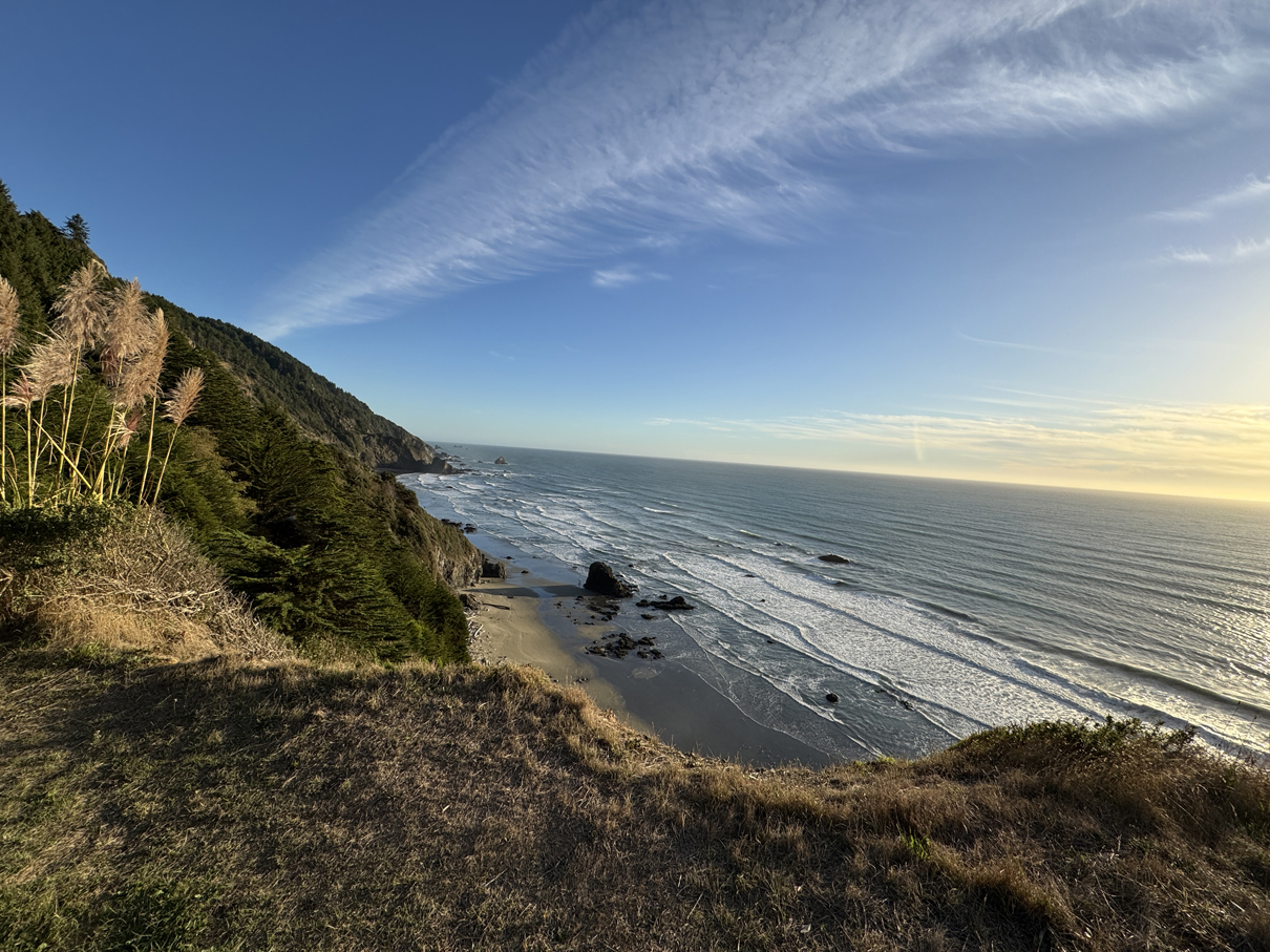
View south from Crescent Beach Overlook 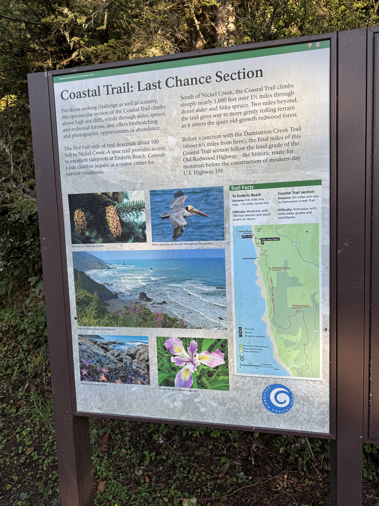
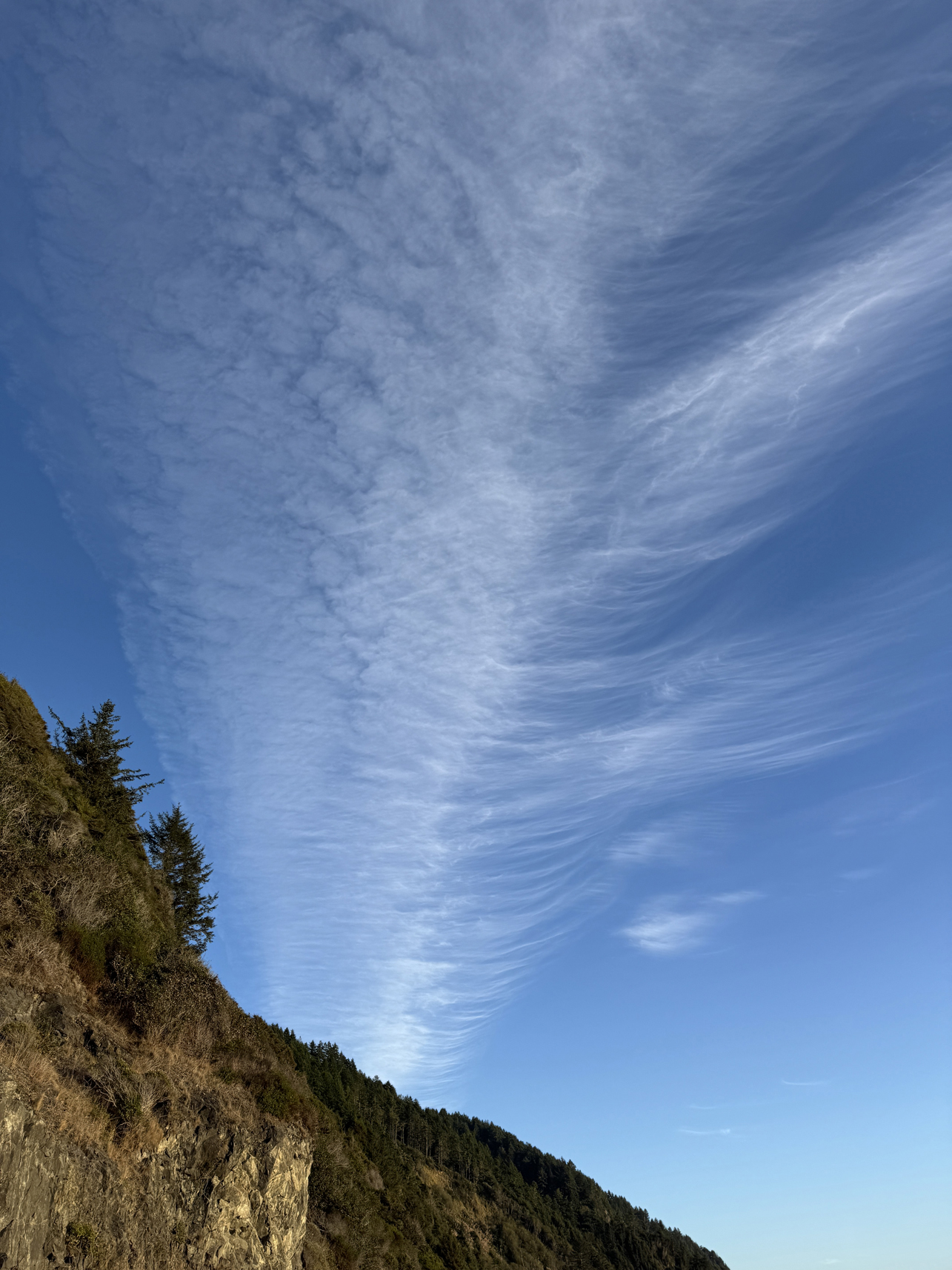
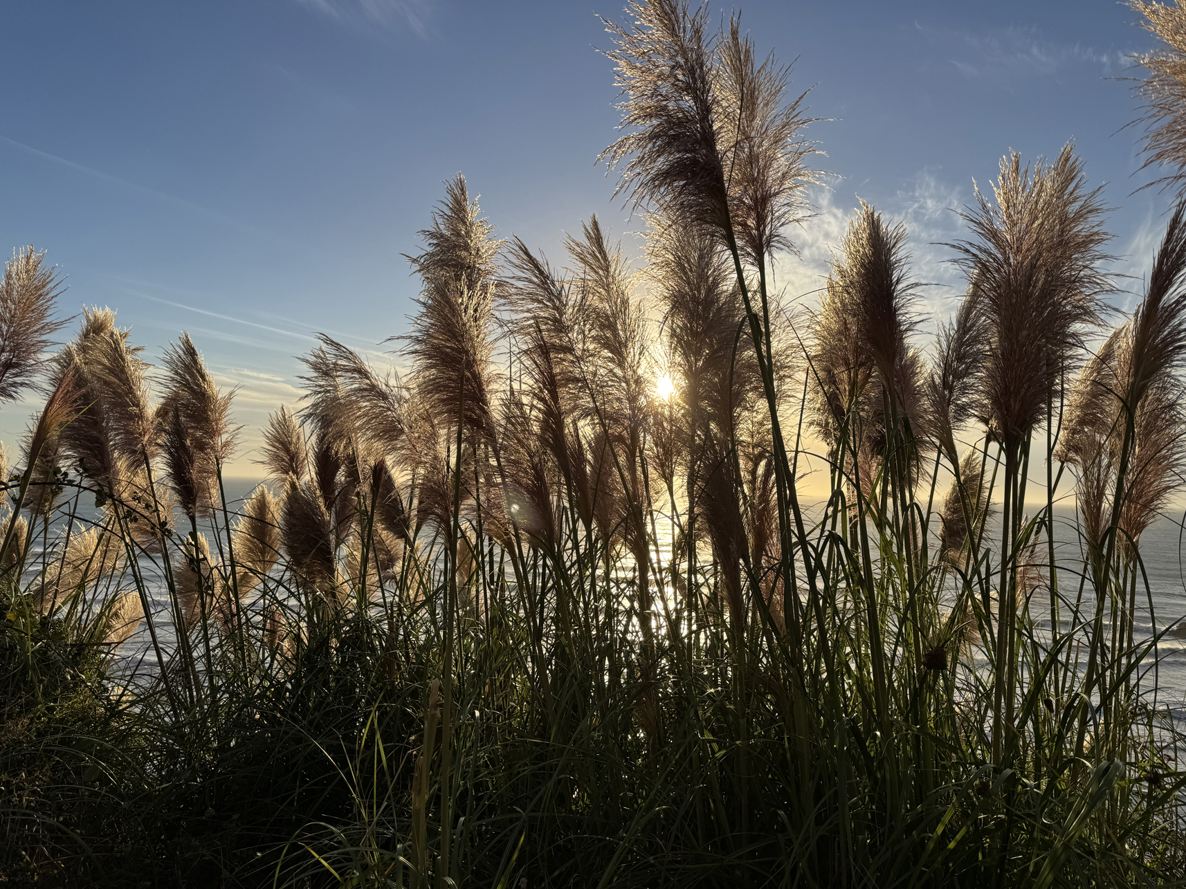
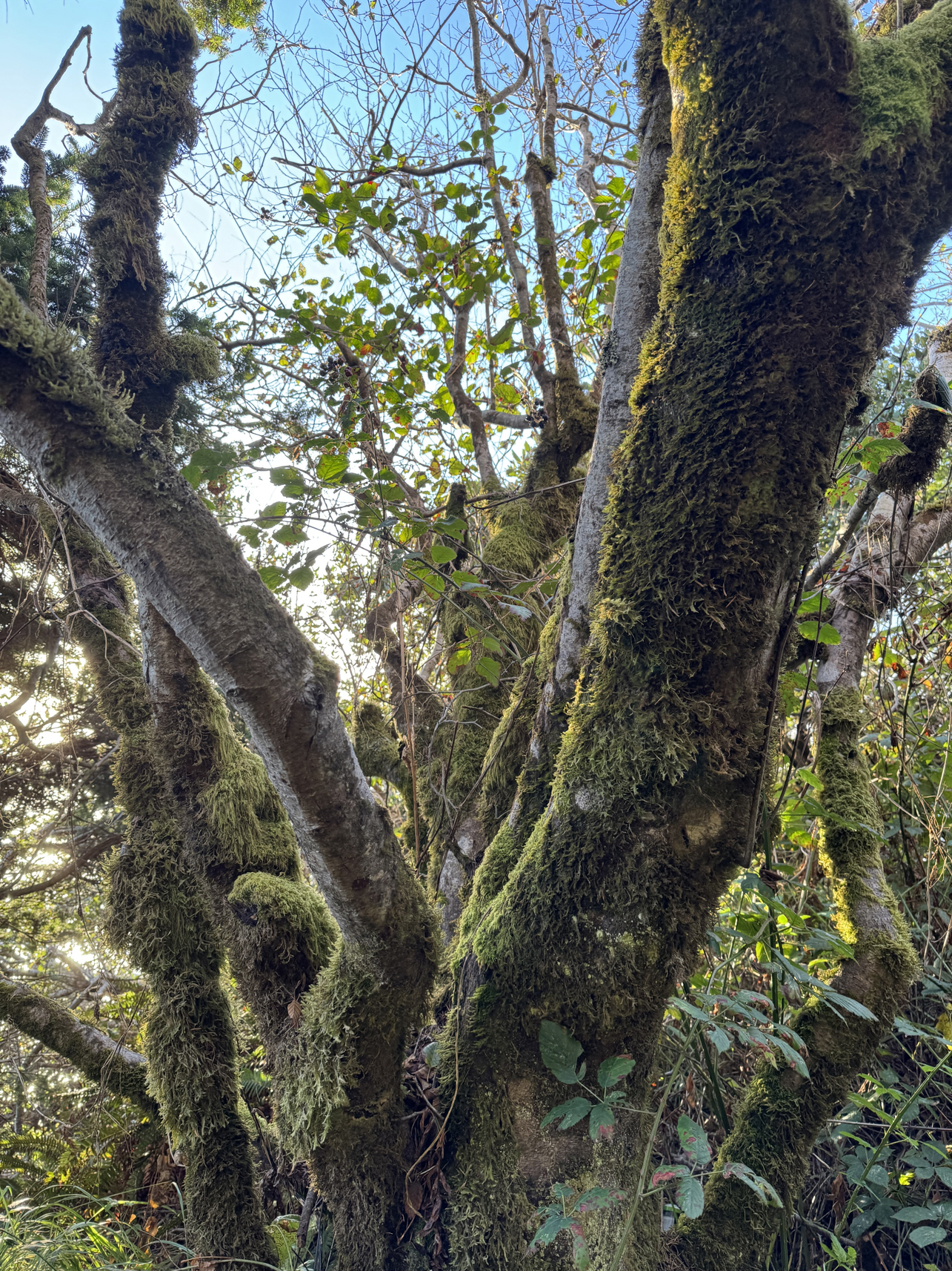
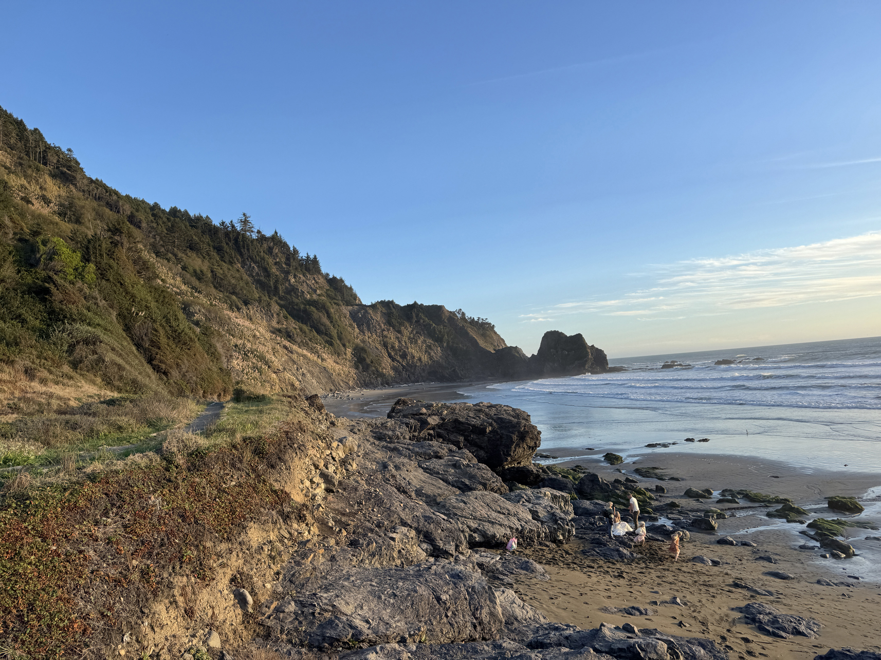
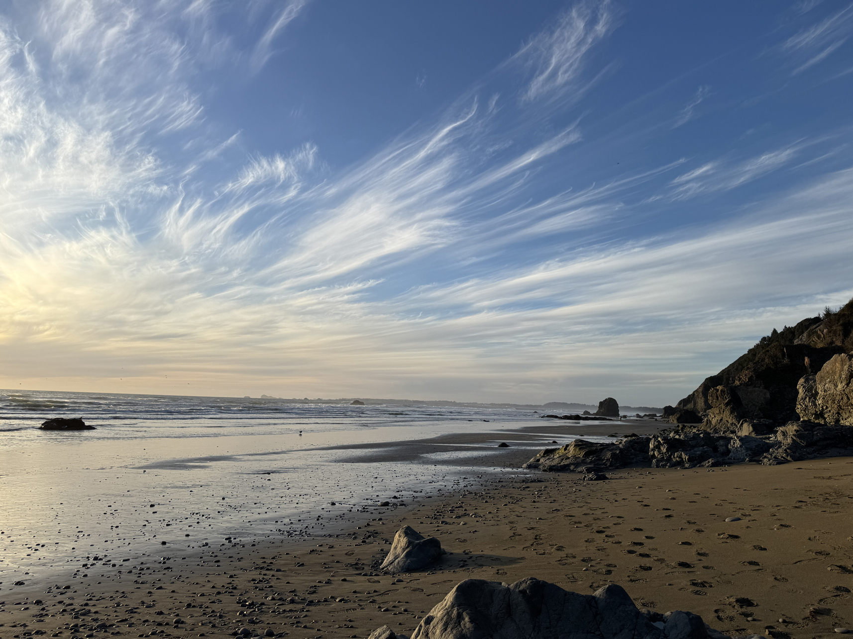
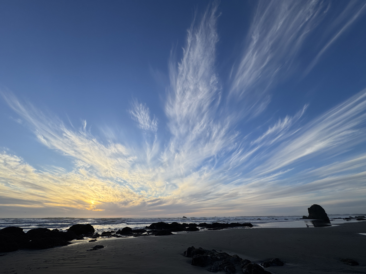
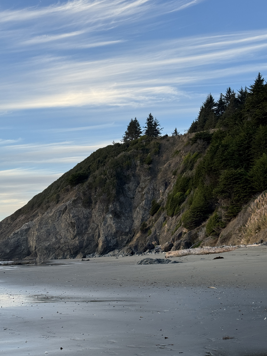
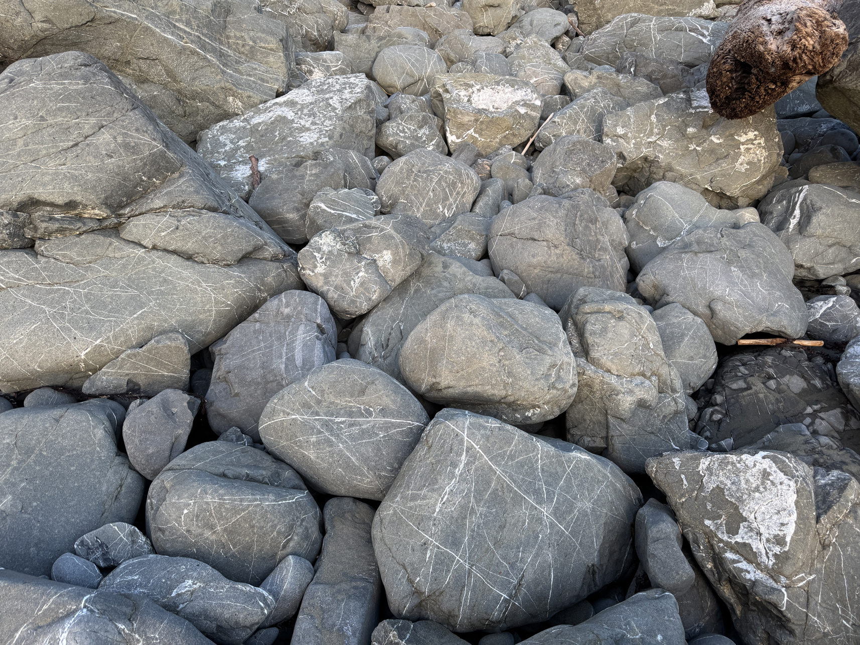
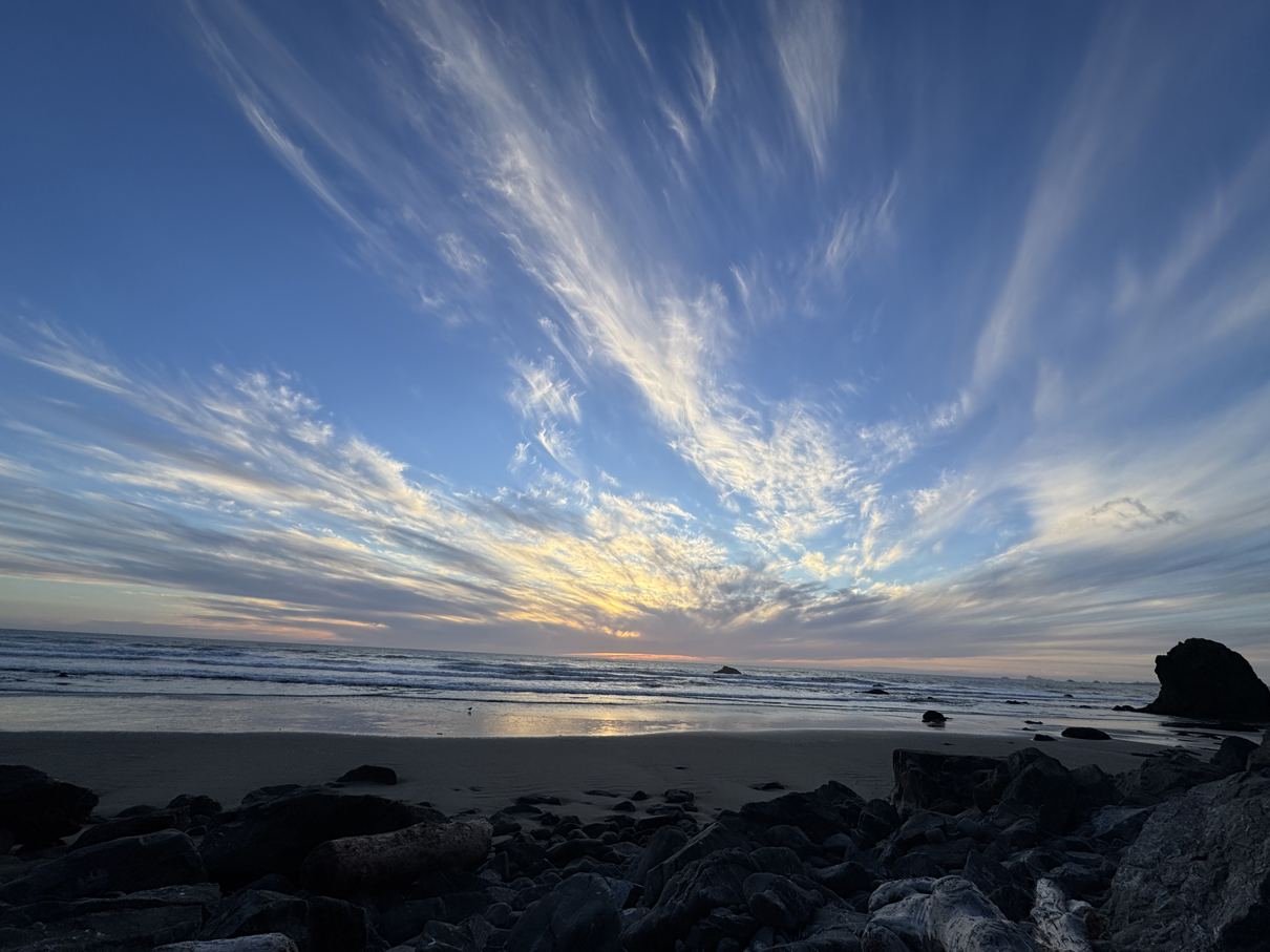
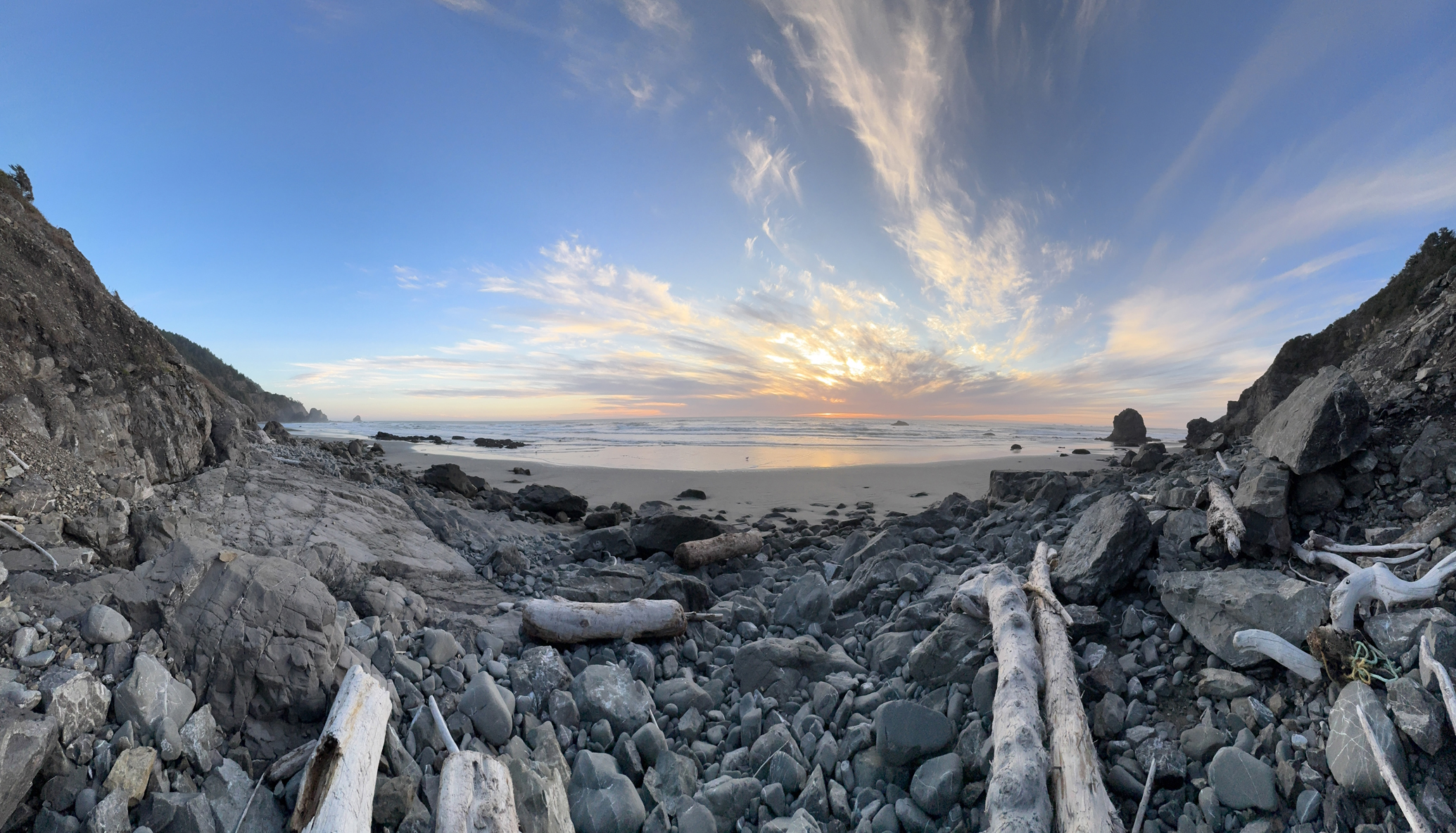
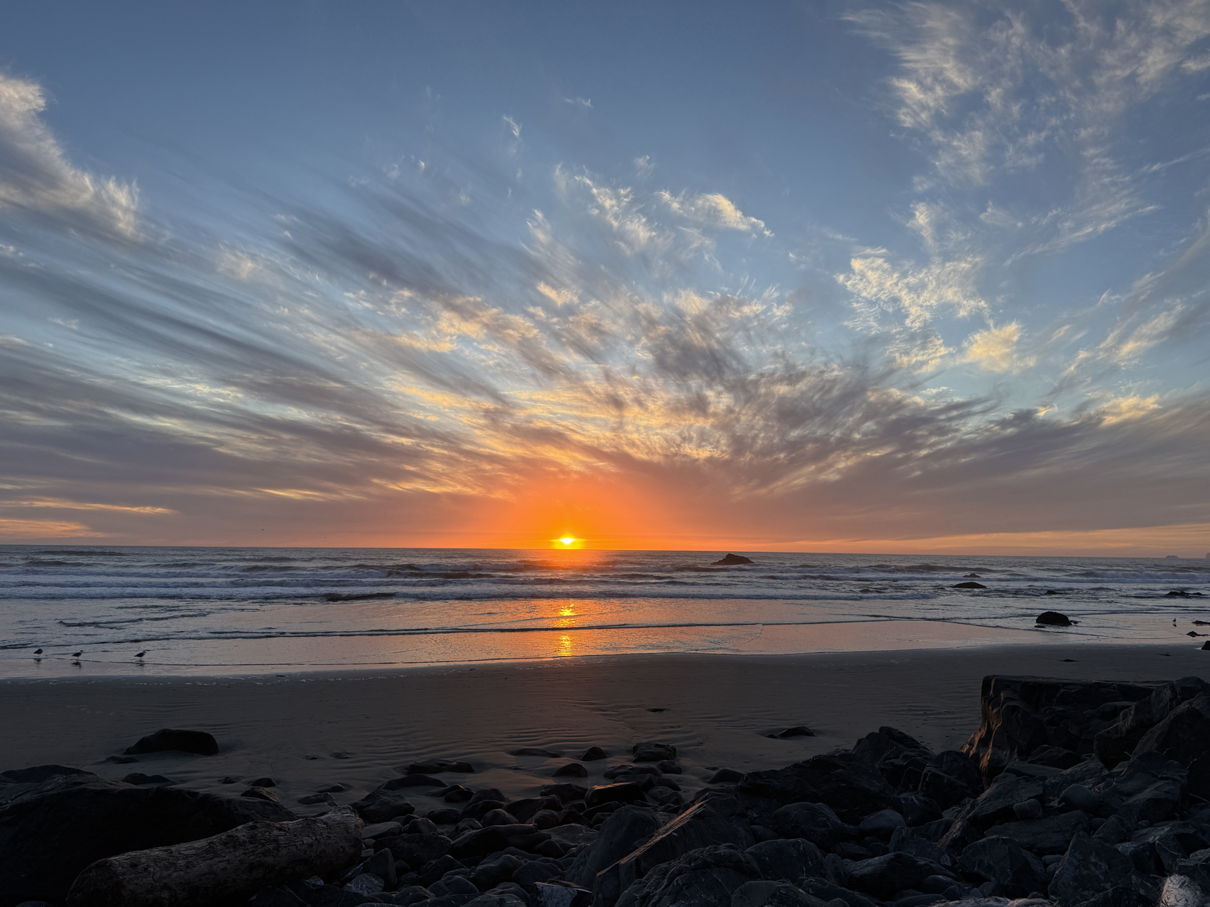
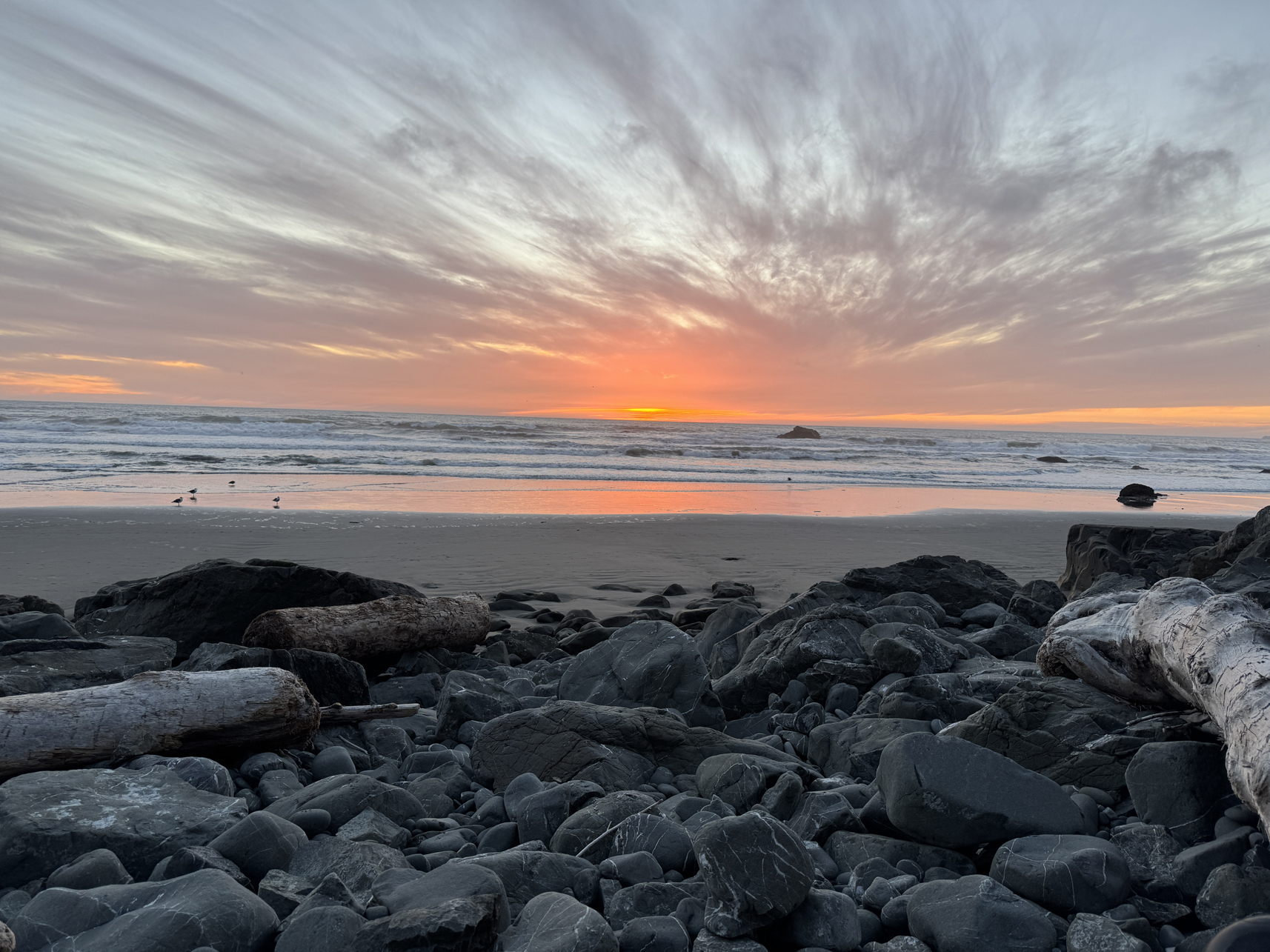
Sunset on the west coast 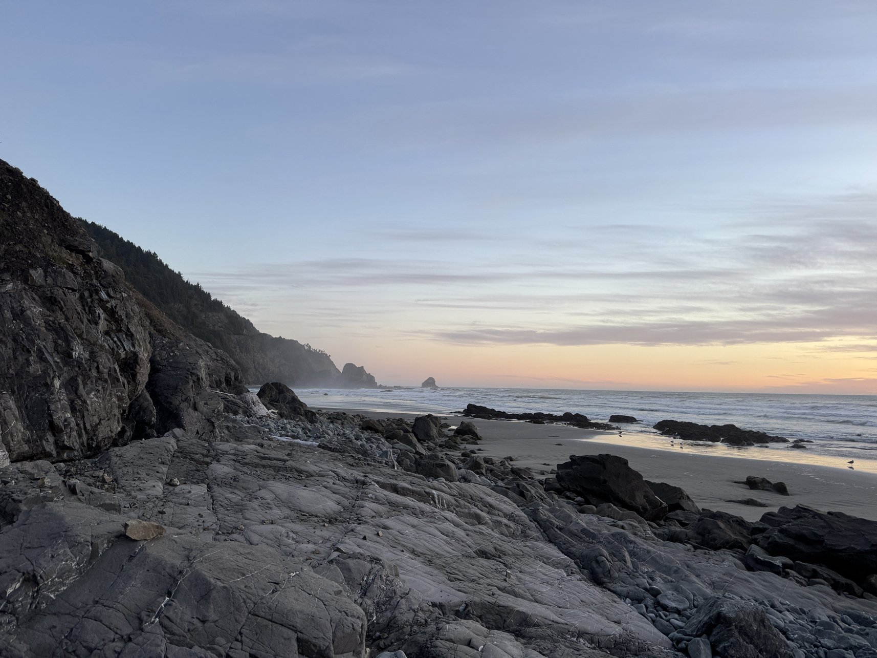
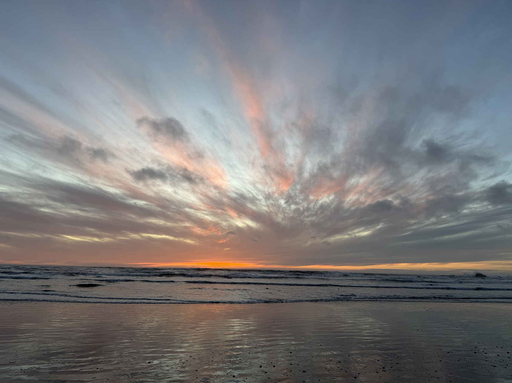
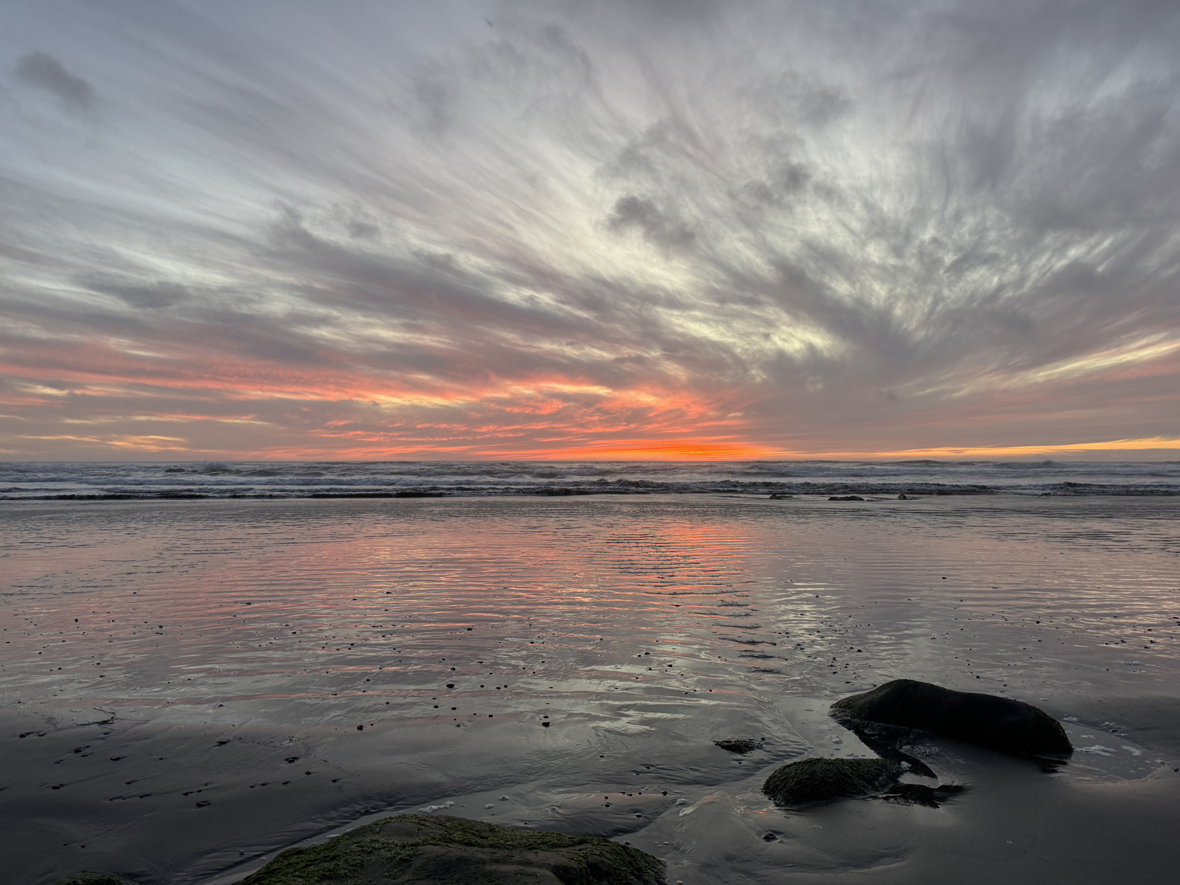
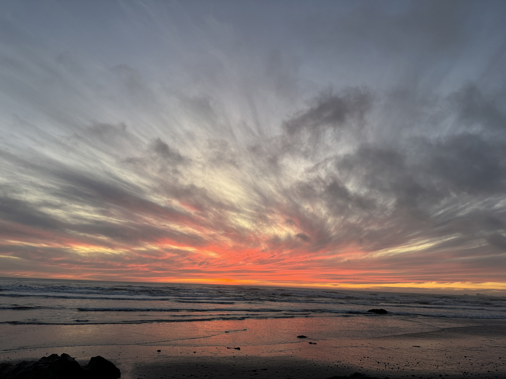
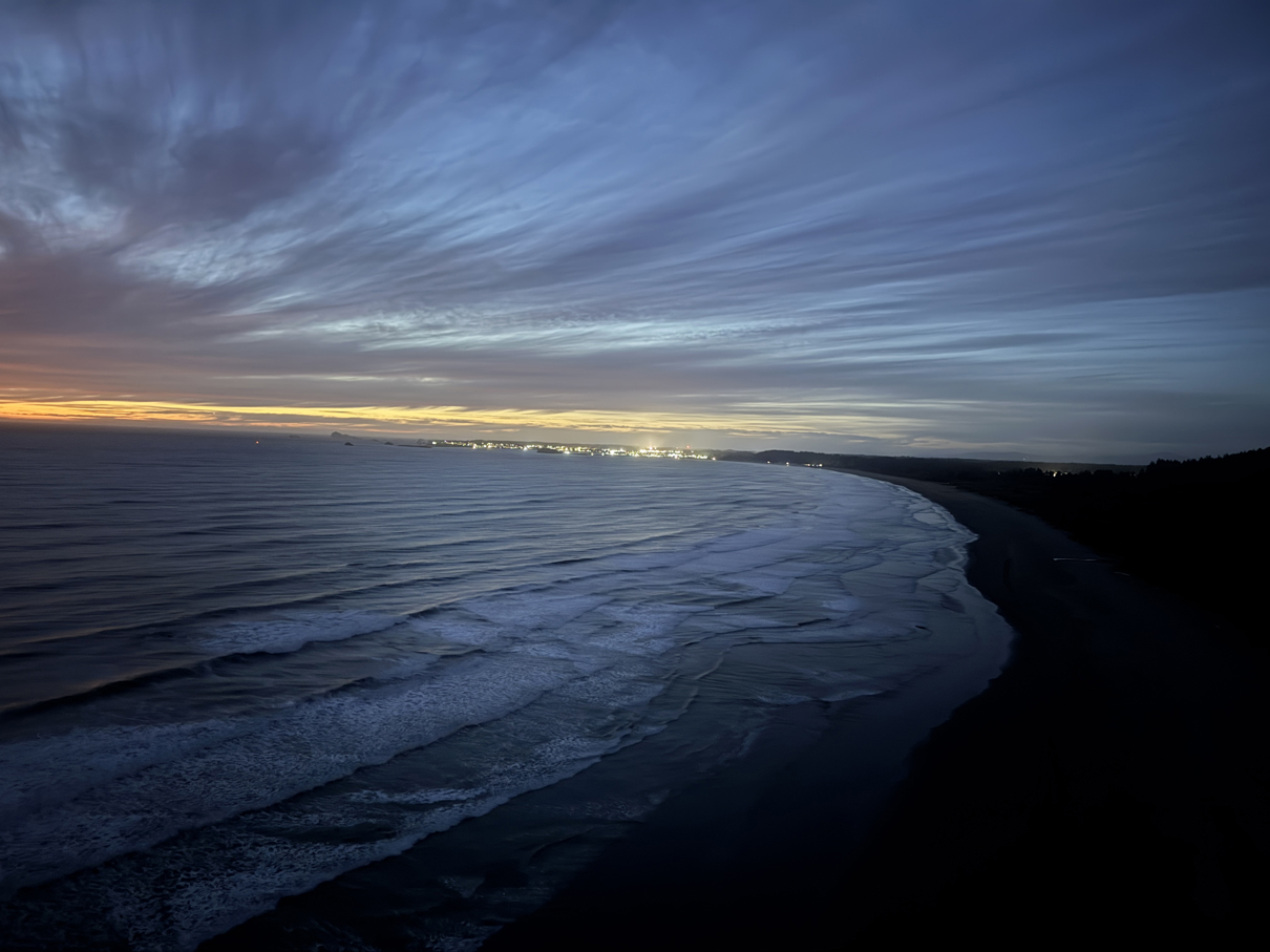
Looing north over distant Crescent City from Crescent Beach Overlook 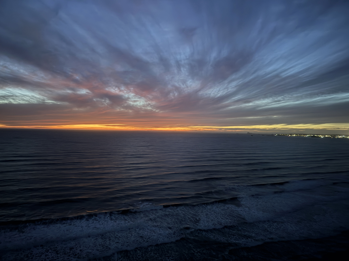
Overview:
After the 4-5 miles of strenuous hiking the previous 4 days, spend this day largely just reading/resting. Did take a little walk down to the coast.
Gallery:
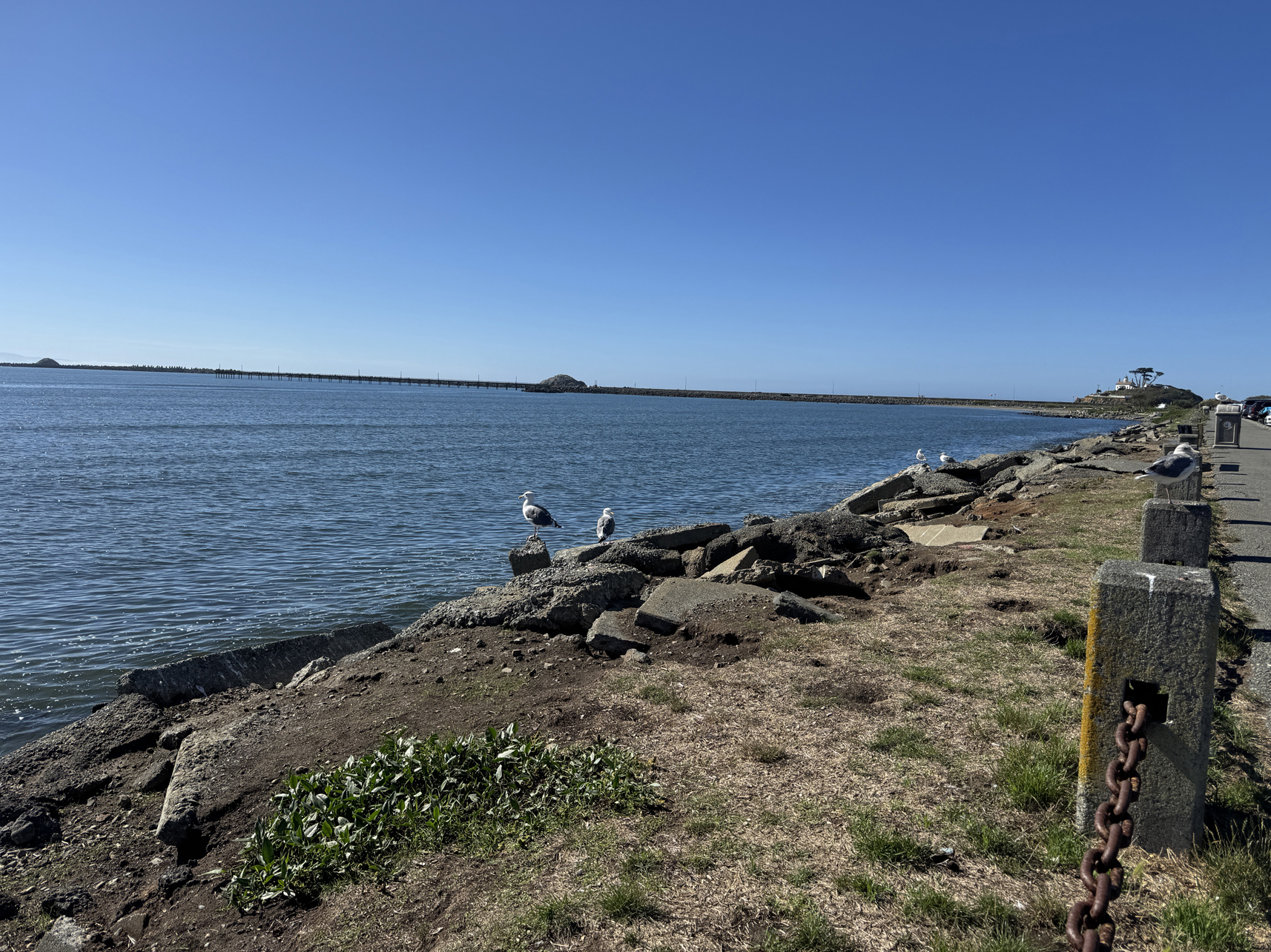
Crescent City east coast 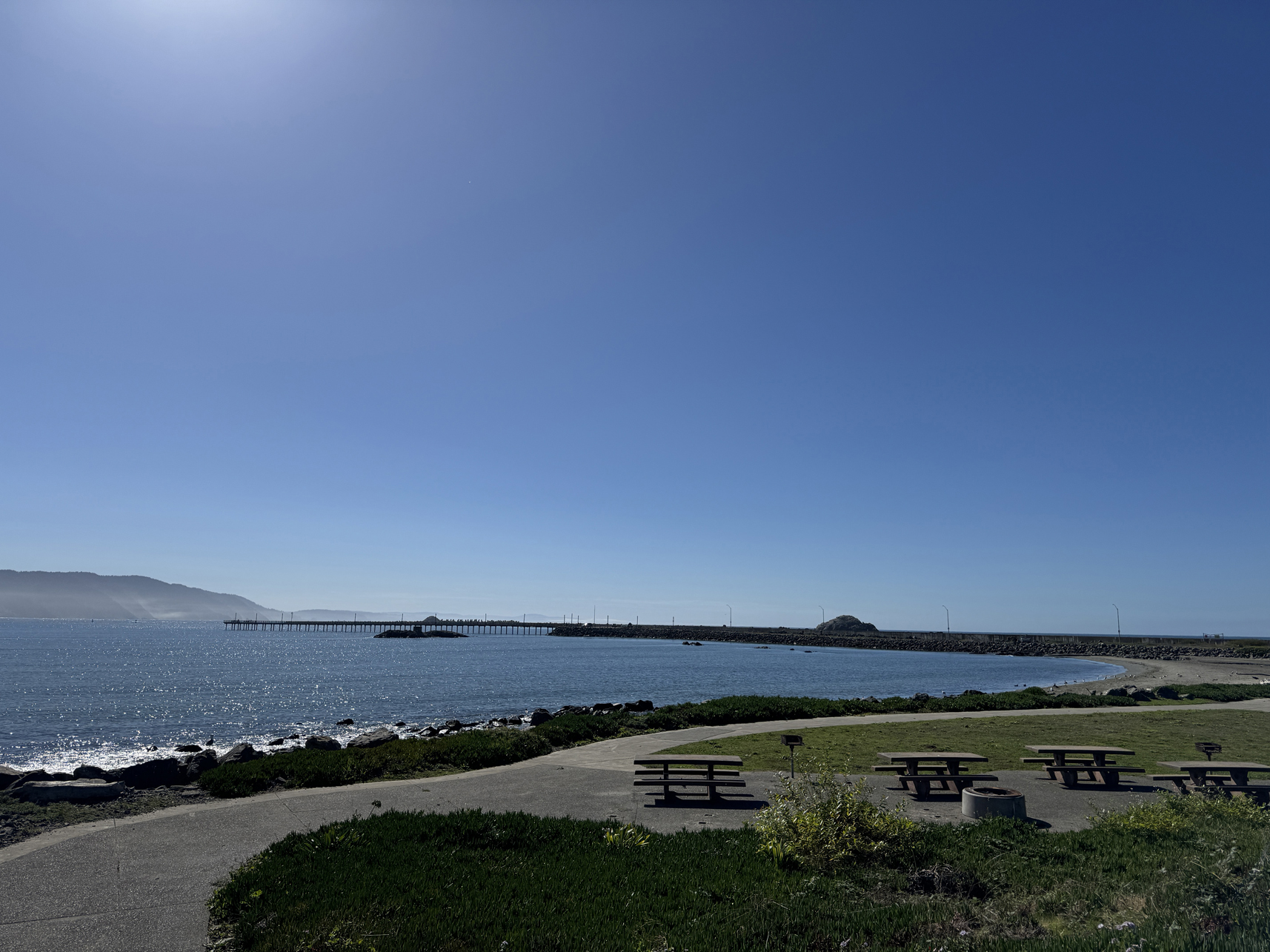
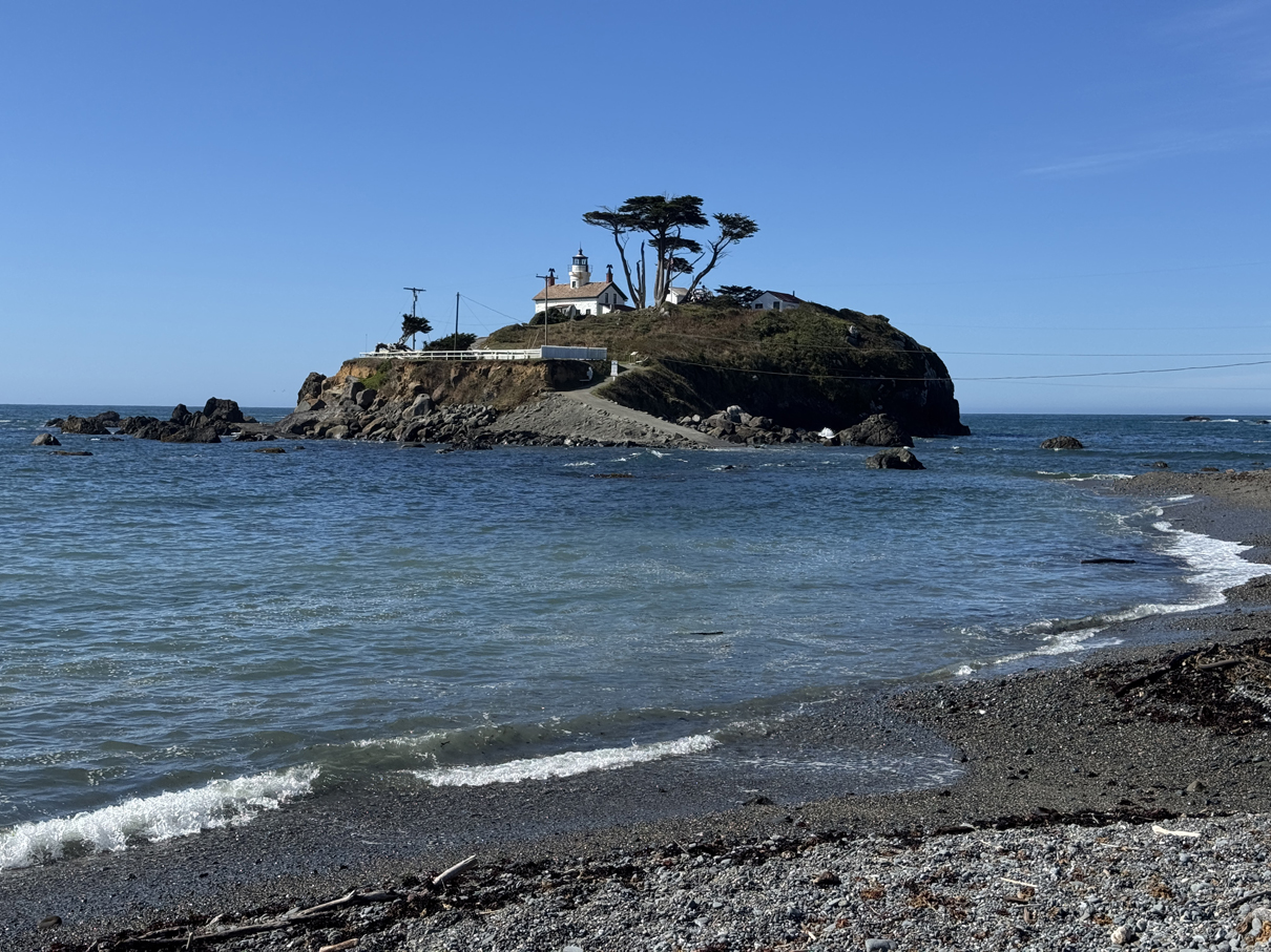
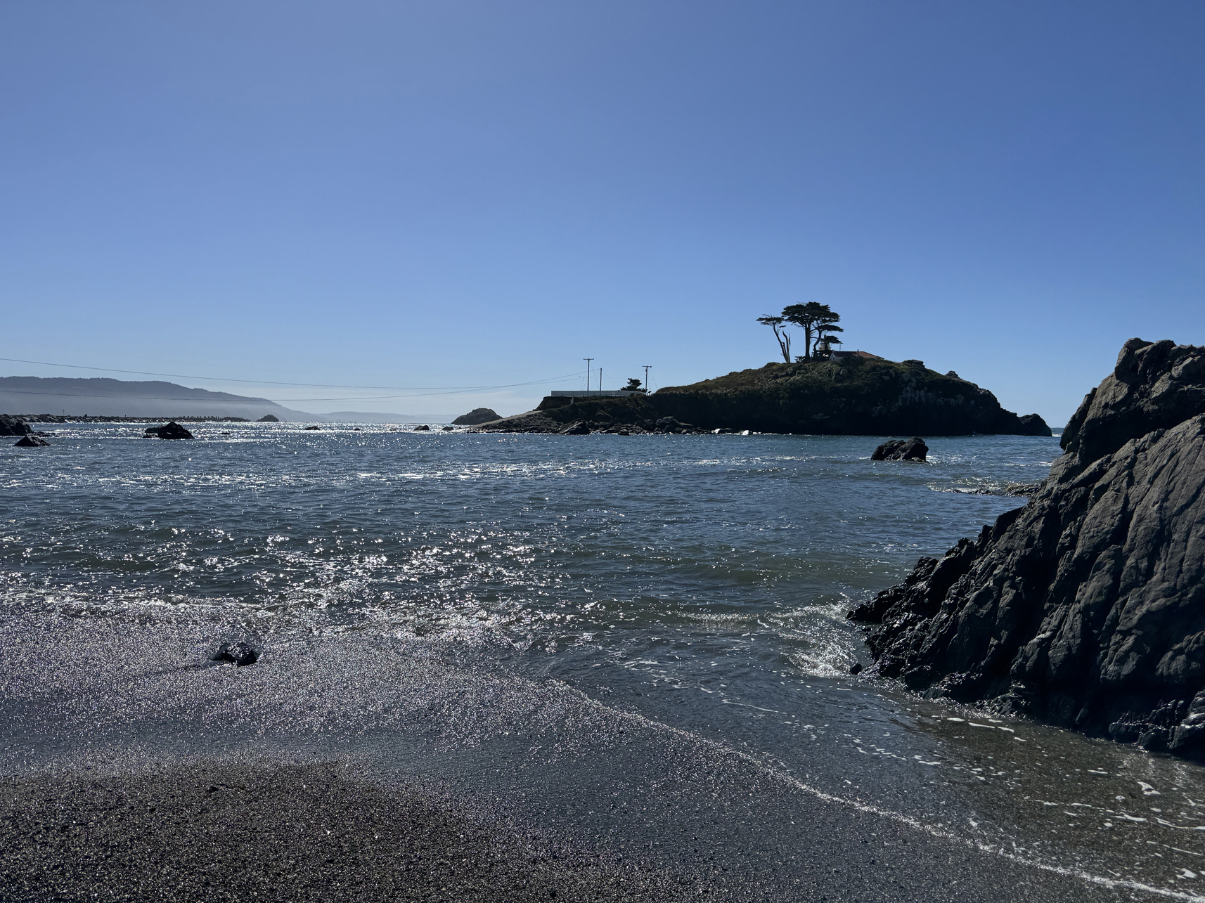
Battery Point lighthouse (high tide) 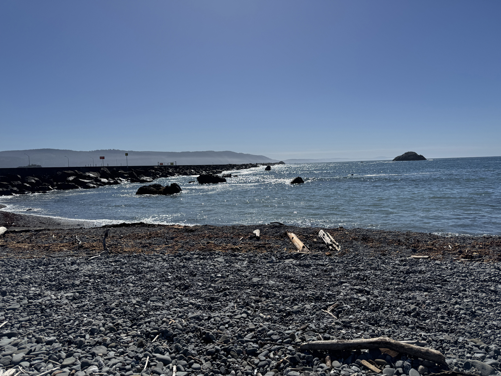
Overview:
Final day in the area. Went to the nearby Jedediah Smith Redwoods State Park, a portion of the park just east of Crescent City. Fun Fact: This area (specifically the Boy Scout Tree Trail) is where the speeder bike chase scene was filmed in the Star Wars: Return of the Jedi movie.
First walked the small Grove of Titans trail (which was VERY busy), then the Mill Creek Trail. Importantly for this day, I didn’t take my phone(and thus camera) with me, as I just wanted to enjoy the last walk. However, I ended up being followed closely by a small coyote for a couple of miles, which was a bummer not to capture on film.
After returning, walked out to Whaler Island.
Journey: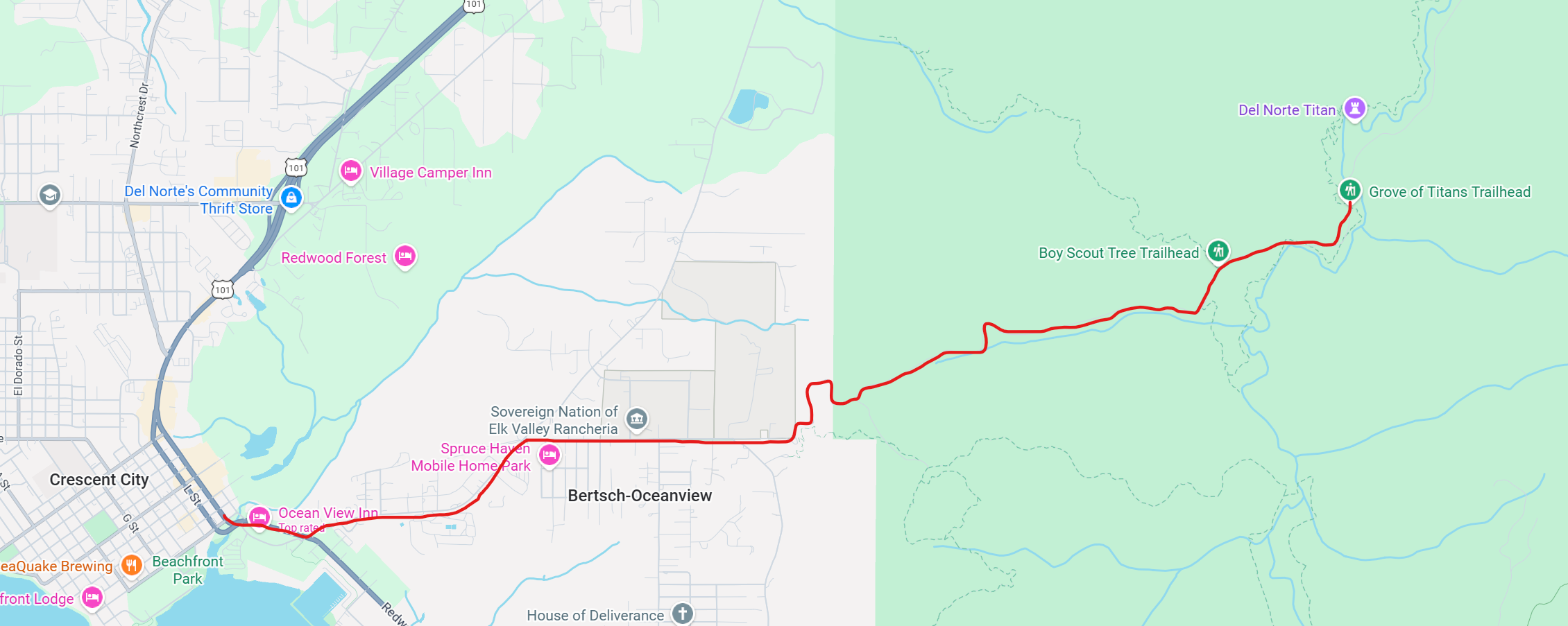
Drive to logging trail leading to Grove of Titans trailhead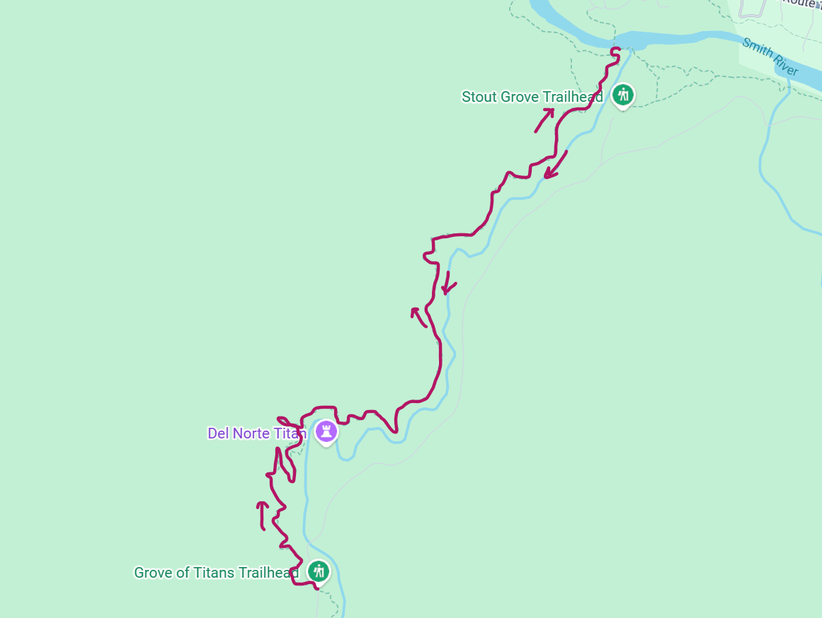
Hike up to Grove of Titans and then up and down Mill Creek Trail.
Gallery:
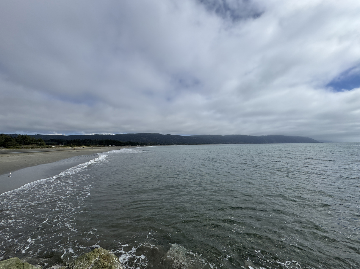
Standing on Anchor Way, facing south 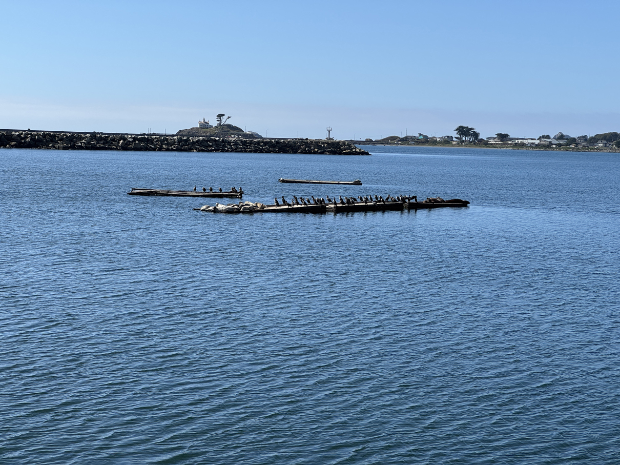
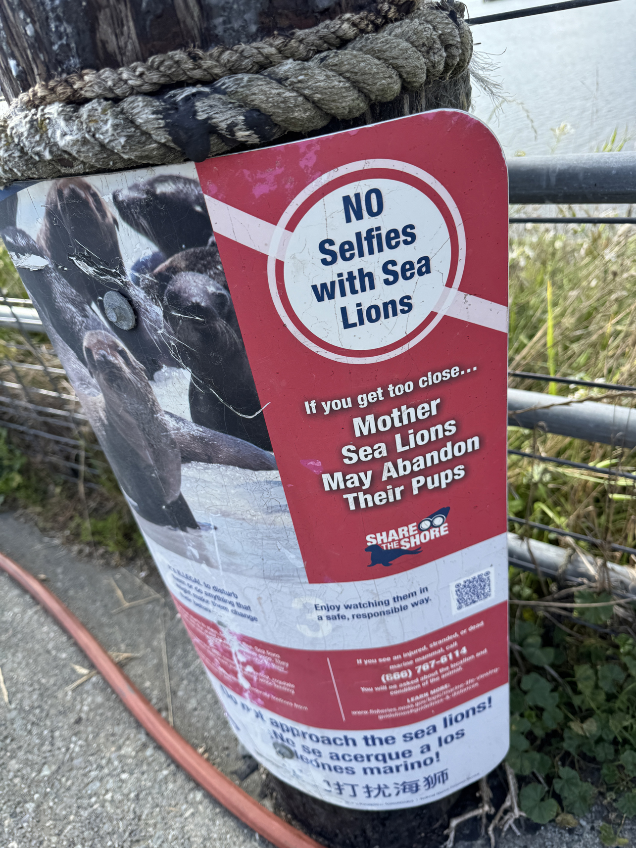
Lazing sea lions 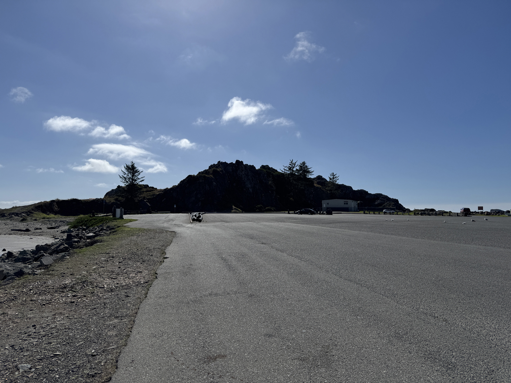
A look at Whaler Island (not really an island) from Anchor Way 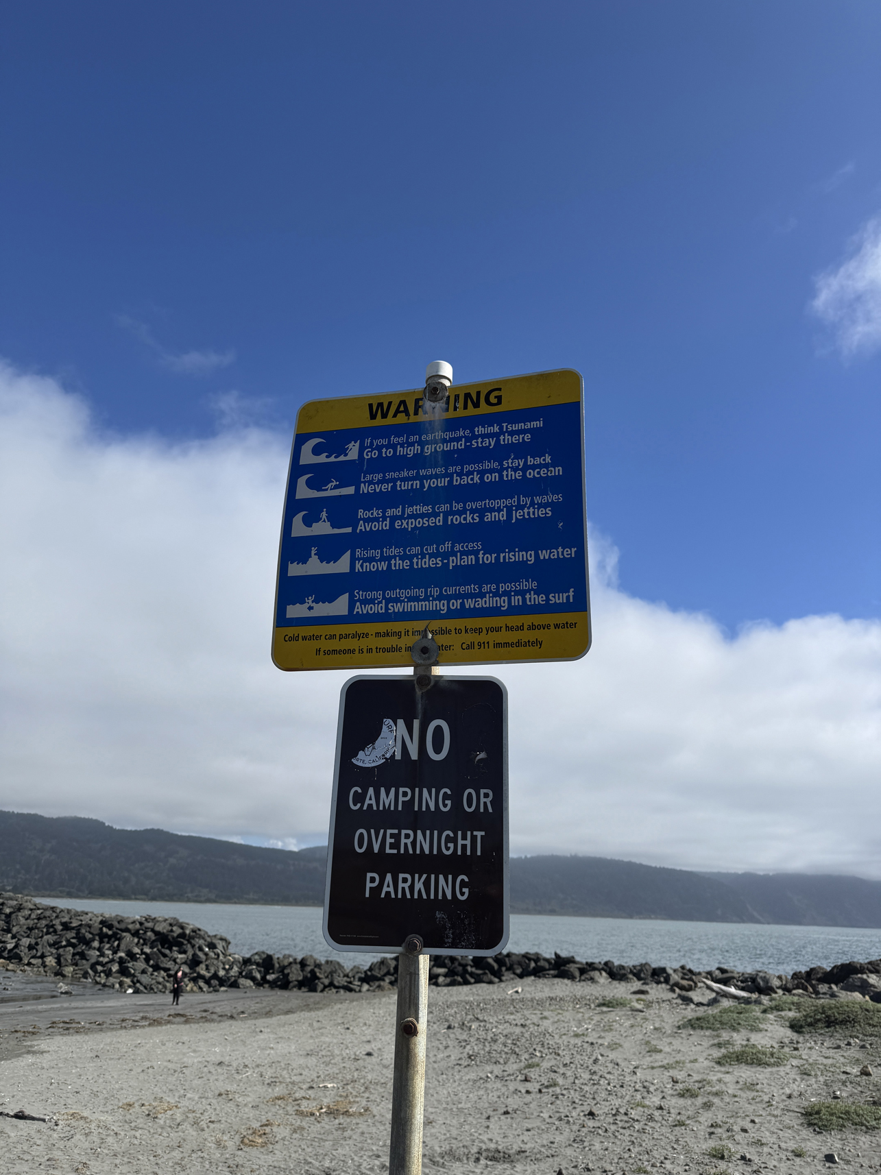
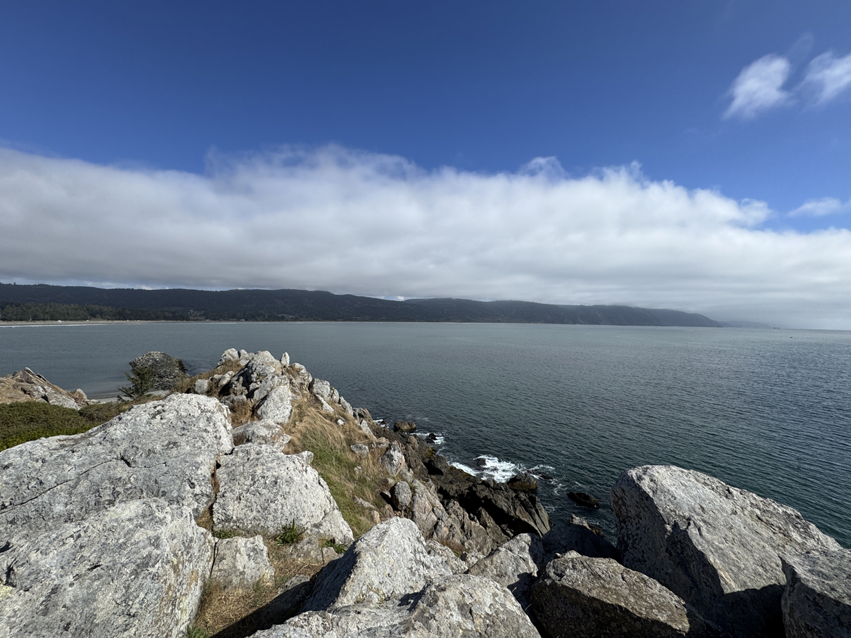
View from top of Whaler Island 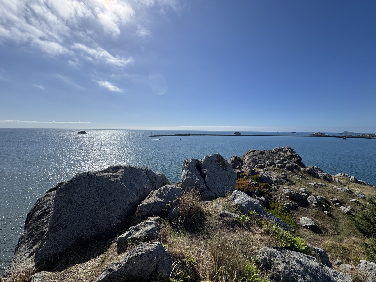
View from top of Whaler Island 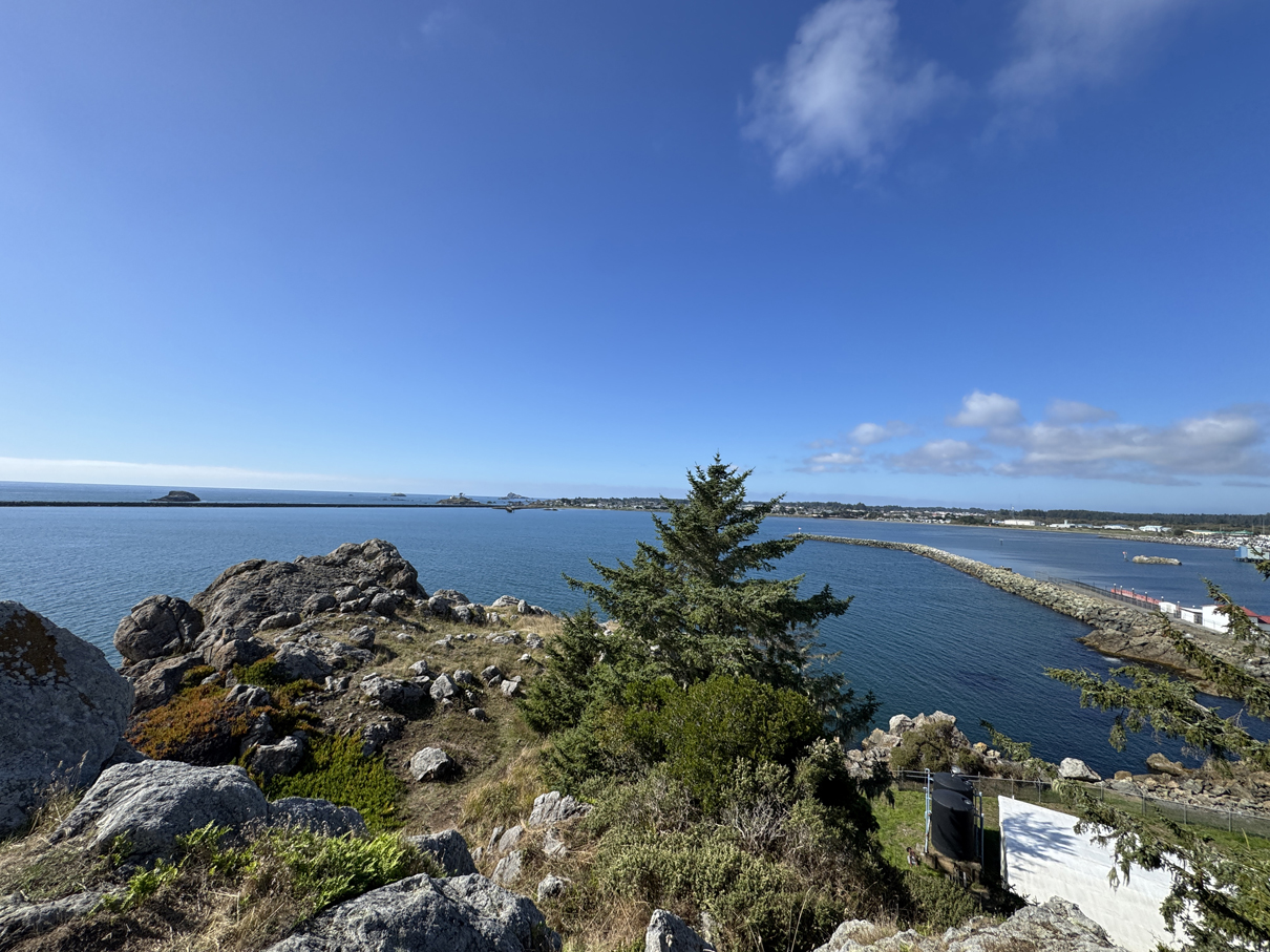
View from top of Whaler Island, facing northwest toward Crescent City 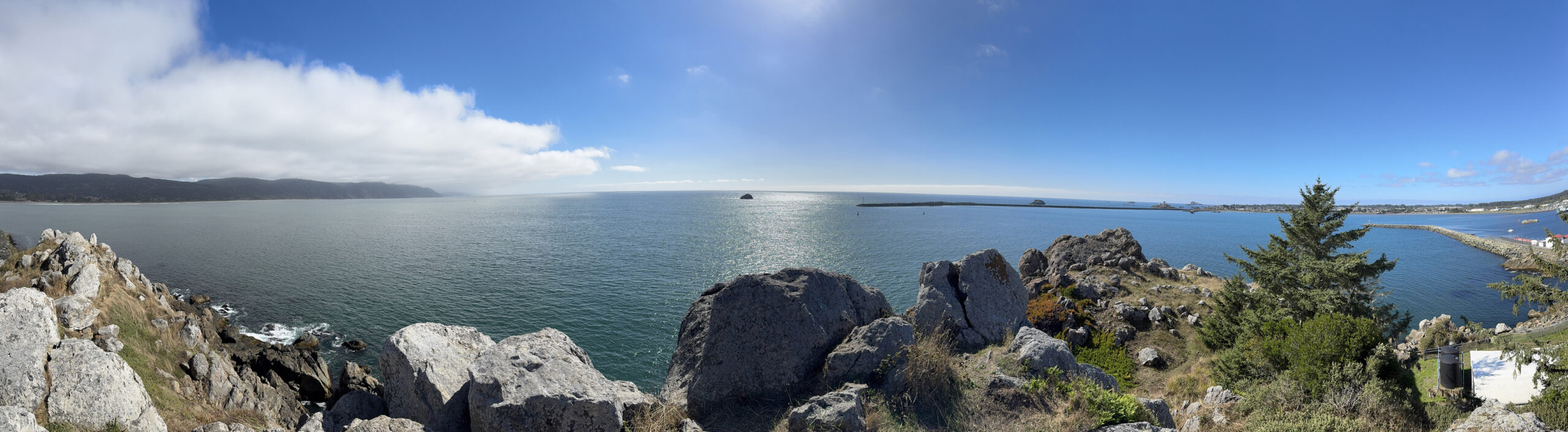
Panorama from top of Whaler Island 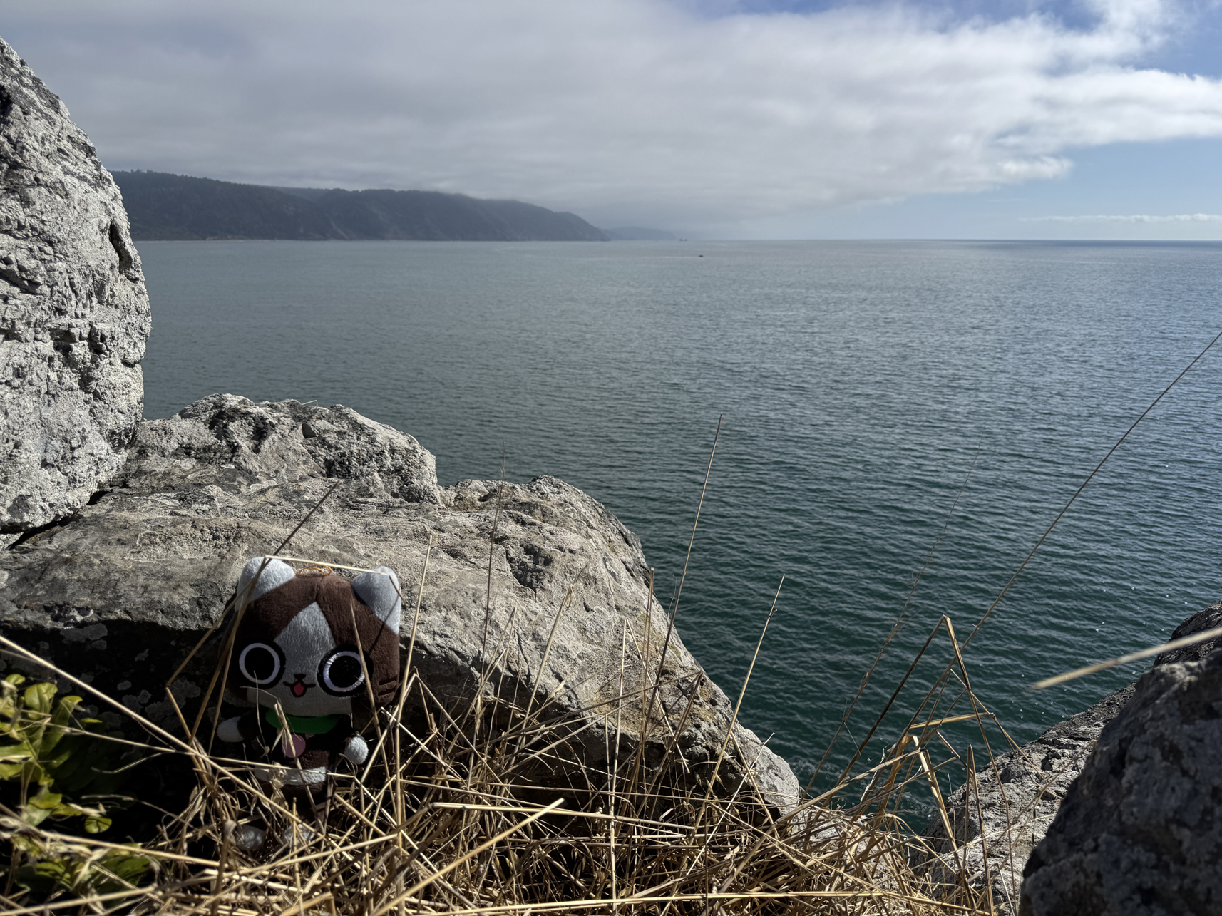
View from Whaler Island 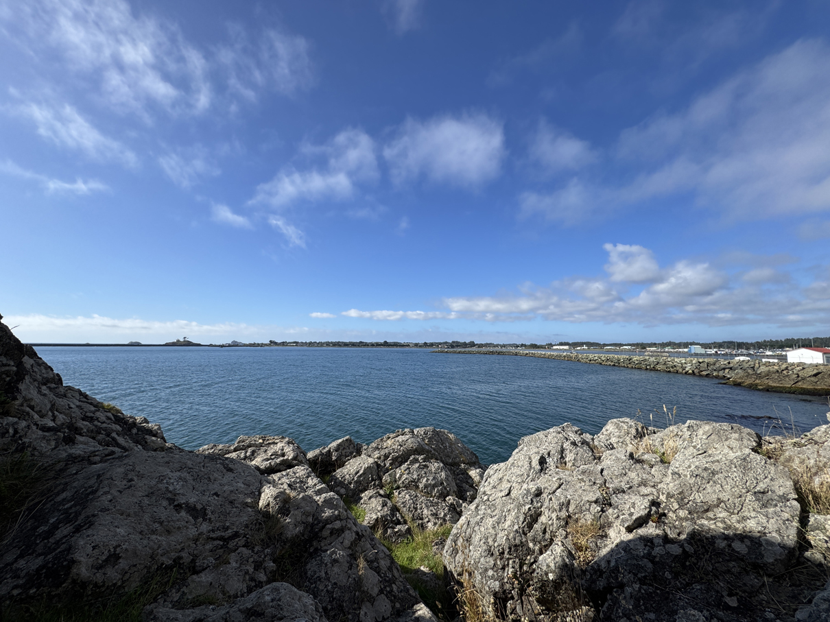
Facing northwest from Whaler Island 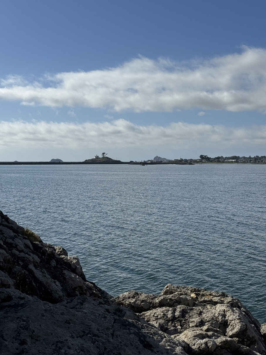
Looking at Battery Point Lighthouse from Whaler Island 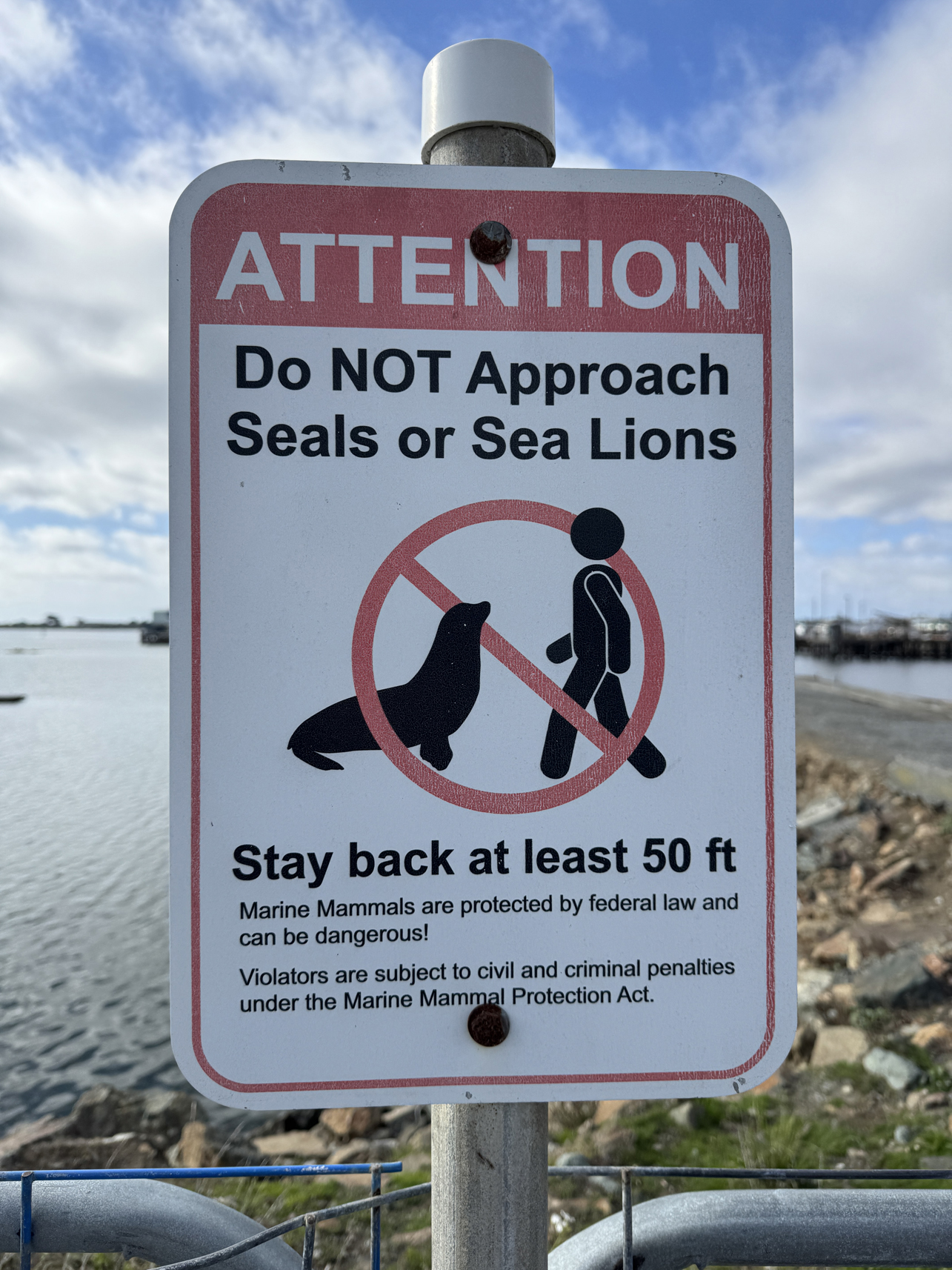
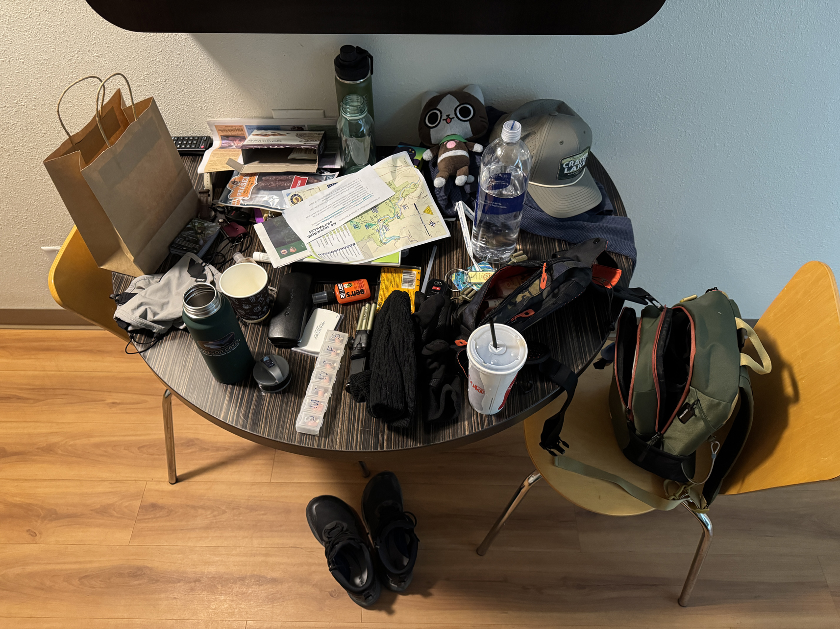
Final shot of motel table before packing. During trips I always take a ‘junk on table’ shot.